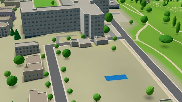
 City model
Žlutý kopec
About this place
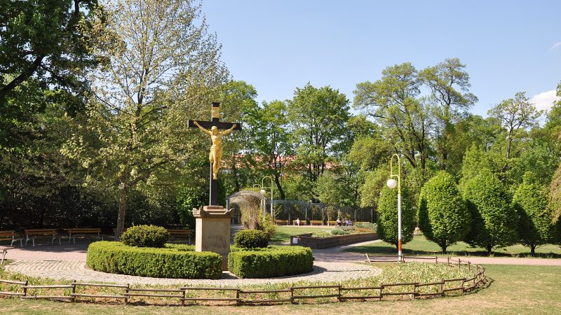
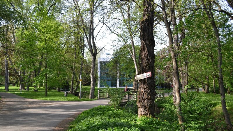
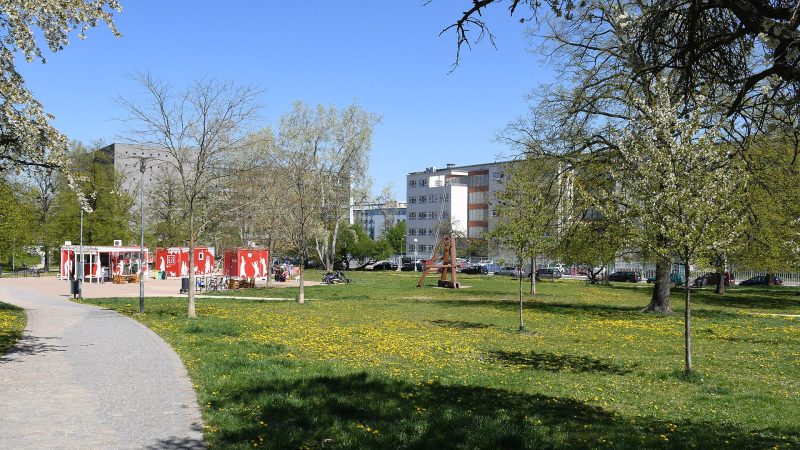
A hill 332 metres high between Old Brno, Kraví hora and Pisárky, west of Špilberk.
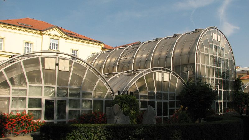
The Svratka skirts it to the south and west, and it drops steeply above the exhibition grounds. The Masaryk Memorial Cancer Institute stands on it, as do historic water reservoirs the city opened as a tour; viewpoints look over the exhibition grounds and Špilberk.
Details
So far we only know where this place is.
Is this your business? Claim it for free and keep the details, opening hours, photos and offers up to date yourself.
Know more? Add details or report a mistake
Facts from OpenStreetMap (9 November 2026), not yet verified by the owner or by Mestanova. Open in OpenStreetMap · ODbL-1.0
Where it is
Brno-střed, Brno