


Kukleny
Businesses and places in Kukleny, Hradec Králové: 88 places.
Kukleny lies on the western edge of Hradec Králové and is named after fields perhaps owned in the 14th century by Kuklina, a burgher of the town. It grew only when the fortress was built: people from the demolished Prague suburb moved here, and between 1777 and 1784 the Minorite friars built the church of St Anne on Denisovo náměstí, still the heart of the quarter. A market town from 1848 with a sugar factory, tanneries and a foundry, and later a town, Kukleny joined Hradec Králové in 1942. The Labský náhon channel runs past the Sádky park, a bust of Antonín Švehla by Josef Bílek stands outside the veterinary school, and trains stop at Hradec Králové-Kukleny.
Results
-
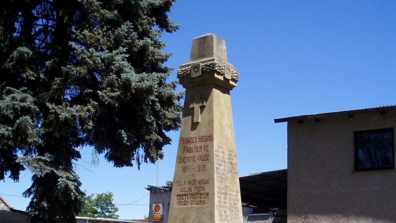
Photo: Boris7, CC BY-SA 4.0 -
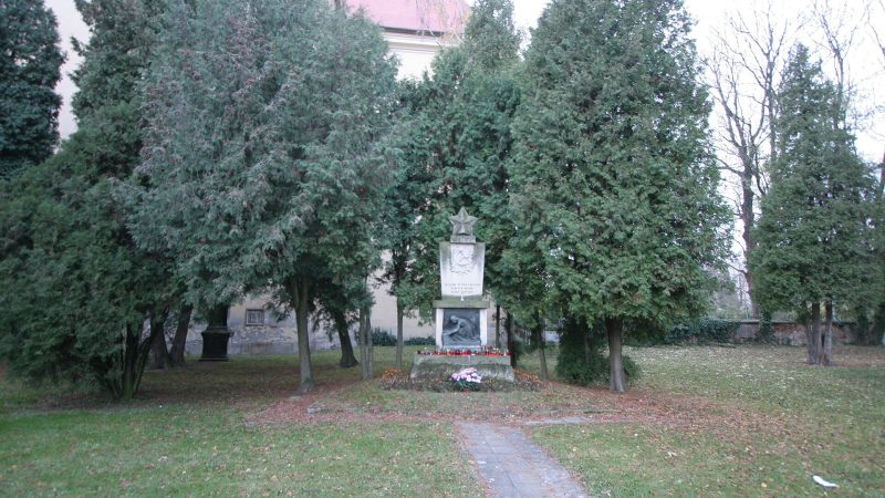
Photo: Petr1888, CC BY-SA 3.0 -
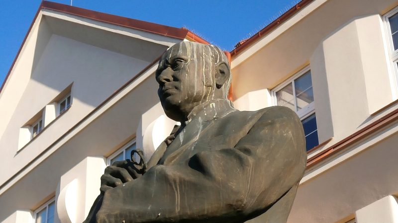
Photo: Boris7, CC BY-SA 4.0 -
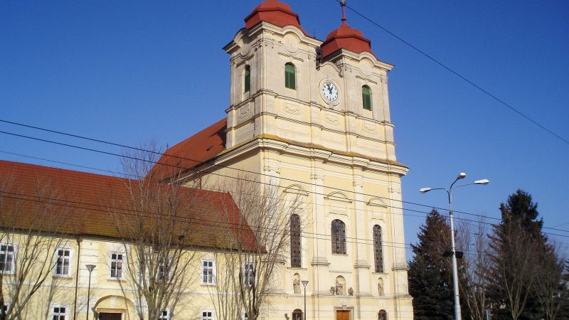
Photo: Boris7, CC BY-SA 4.0 -
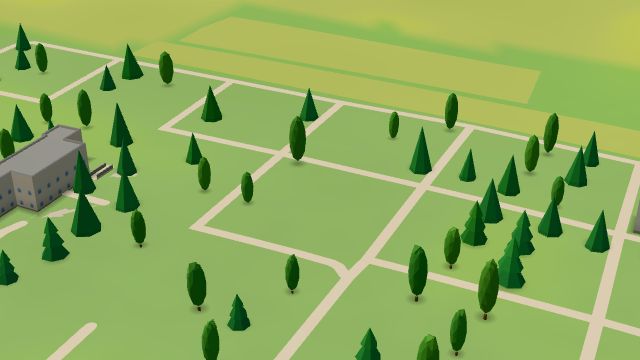 City model
 from OpenStreetMap and ČÚZK data, ODbL -
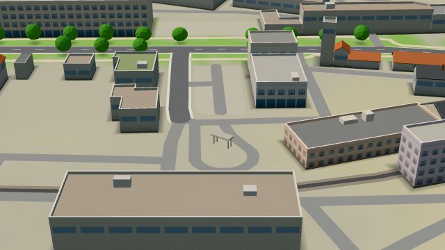 City model
 from OpenStreetMap and ČÚZK data, ODbL Innogy
Open 24 hours
-
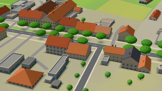 City model
 from OpenStreetMap and ČÚZK data, ODbL Restaurace U Růže
Closed · opens tomorrow at 10:00
-
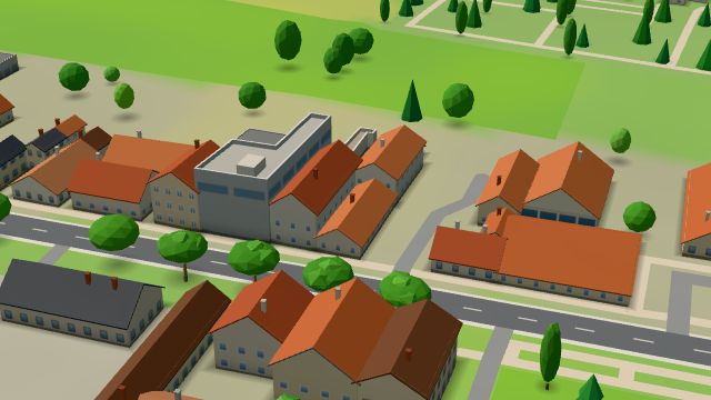 City model
 from OpenStreetMap and ČÚZK data, ODbL Restaurant Na Statku
Open · closes at 23:00
-
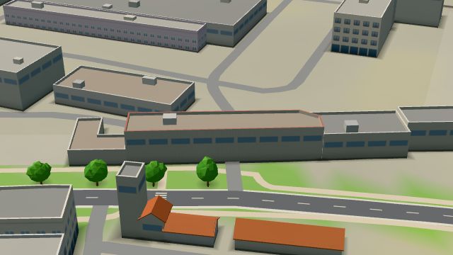 City model
 from OpenStreetMap and ČÚZK data, ODbL To je Jídelna
Closed · opens tomorrow at 10:30
-
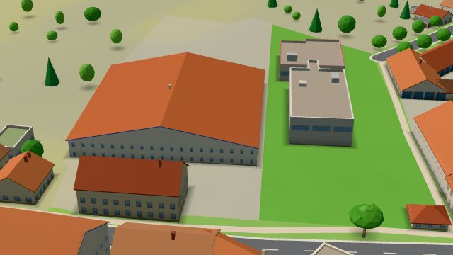 City model
 from OpenStreetMap and ČÚZK data, ODbL Auto Kelly
Closed · opens tomorrow at 8:00
-
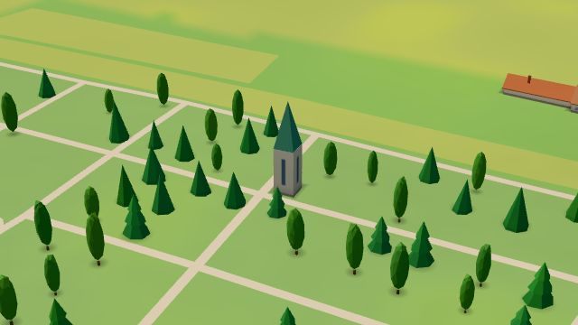 City model
 from OpenStreetMap and ČÚZK data, ODbL -
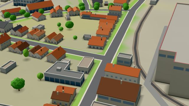 City model
 from OpenStreetMap and ČÚZK data, ODbL -
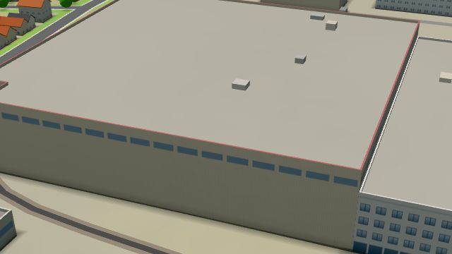 City model
 from OpenStreetMap and ČÚZK data, ODbL -
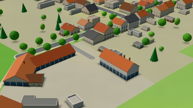 City model
 from OpenStreetMap and ČÚZK data, ODbL -
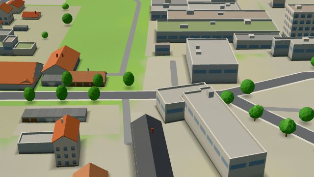 City model
 from OpenStreetMap and ČÚZK data, ODbL -
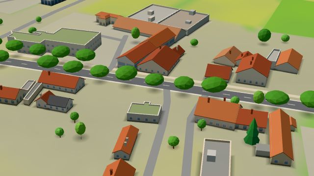 City model
 from OpenStreetMap and ČÚZK data, ODbL -
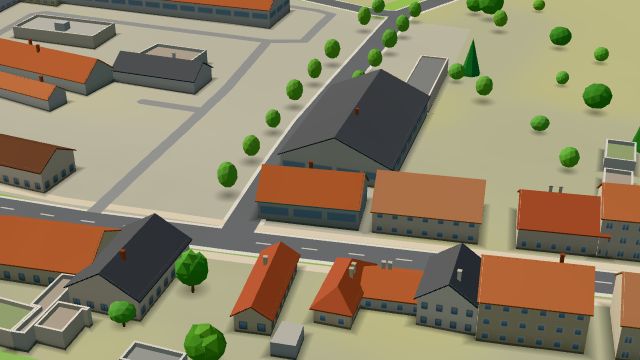 City model
 from OpenStreetMap and ČÚZK data, ODbL -
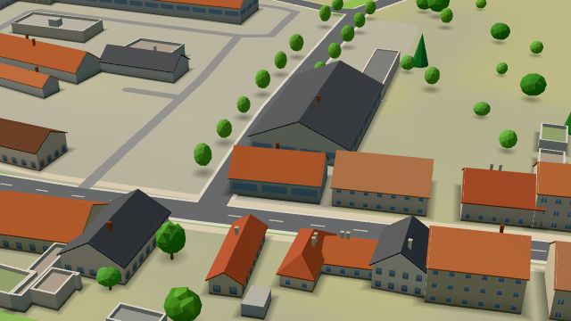 City model
 from OpenStreetMap and ČÚZK data, ODbL -
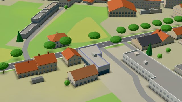 City model
 from OpenStreetMap and ČÚZK data, ODbL -
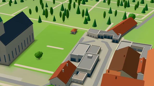 City model
 from OpenStreetMap and ČÚZK data, ODbL -
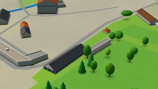 City model
 from OpenStreetMap and ČÚZK data, ODbL -
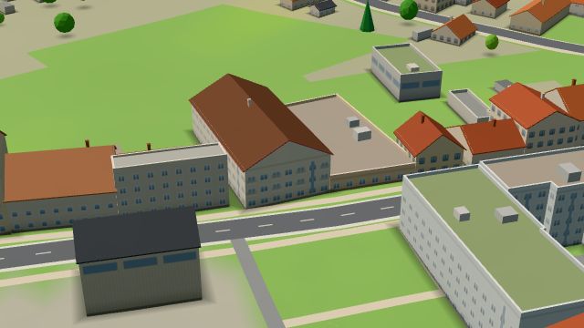 City model
 from OpenStreetMap and ČÚZK data, ODbL -
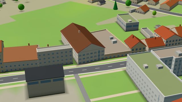 City model
 from OpenStreetMap and ČÚZK data, ODbL -
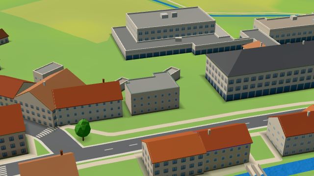 City model
 from OpenStreetMap and ČÚZK data, ODbL
What is here
- Shops 21
- Health 17
- Services 13
- Landmarks 10
- Accommodation 6
- Sport 6
- Schools 4
- Restaurants 3
- Parks and nature 3
- Culture 2
- Cafés 1
- Bars and pubs 1
- Wellness 1
- Doctors 9
- Car repair and tyres 7
- Dentists 6
- Gyms 4
- Car dealers 3
- Primary schools 3
- Furniture and home 2
- Flowers 2
- Opticians 2
- Hardware and DIY 2
- Petrol stations 2
- Car washes 2
- Tattoo 2
- Clothes and fashion 1
- Beauty and nails 1
- Groceries and supermarkets 1
- Hairdressers and barbers 1
- Electronics and phones 1
- Nursery schools 1
- Gifts and souvenirs 1
- Pets 1
- Czech food 1
- Libraries 1
- Churches 1
- Theatres 1
- Vets 1