


Moravské Předměstí - východ
Businesses and places in Moravské Předměstí - východ, Hradec Králové: 47 places.
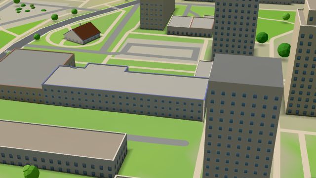
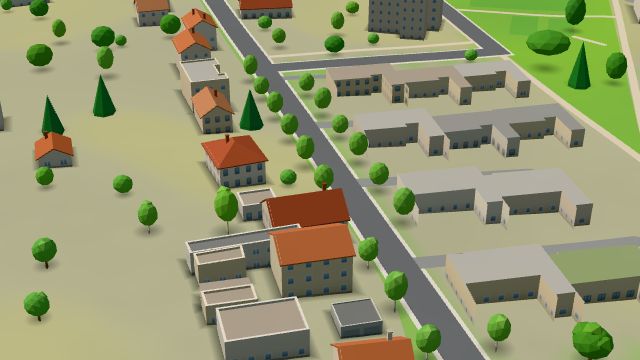
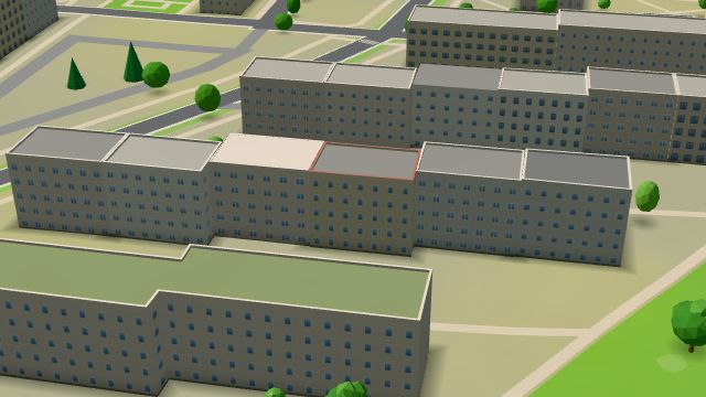
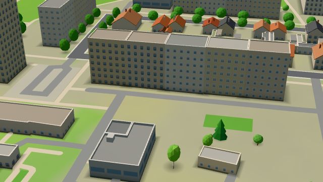
Moravské Předměstí - východ is the eastern edge of the Moravské Předměstí estate in the south-east of Hradec Králové. It takes in the area around Milady Horákové street, the former hamlet of Lhota pod Strání, which in 1451 was called Hrdlořezy, cut-throats, because executions were carried out here. To the east lie the Na Plachtě and Na Plachtě 3 nature monuments, a site of European importance: common pasture from the 15th century, then from the late 19th century a military training ground, where aeroplanes flew as early as July 1910, and an airfield from 1918 to 1939. There is a primary school on Milady Horákové, the Lékárna Pod Strání pharmacy and Skatemill.
Results
-
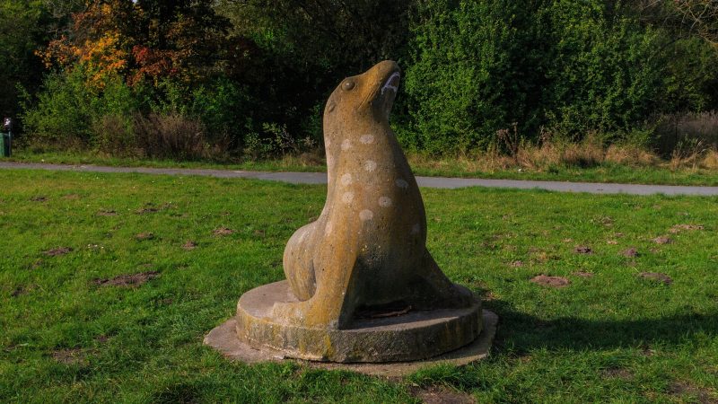
Photo: Petr1888, CC BY-SA 4.0 -
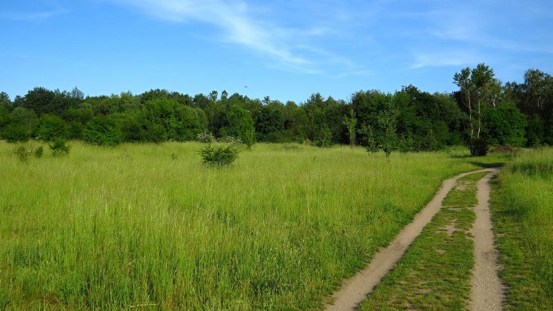
Photo: Tomáš Merta, CC BY-SA 4.0 -
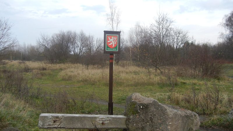
Photo: Tereza urbanova, CC BY-SA 3.0 -
 City model
 from OpenStreetMap and ČÚZK data, ODbL Lidl
Closed · opens tomorrow at 7:00
-
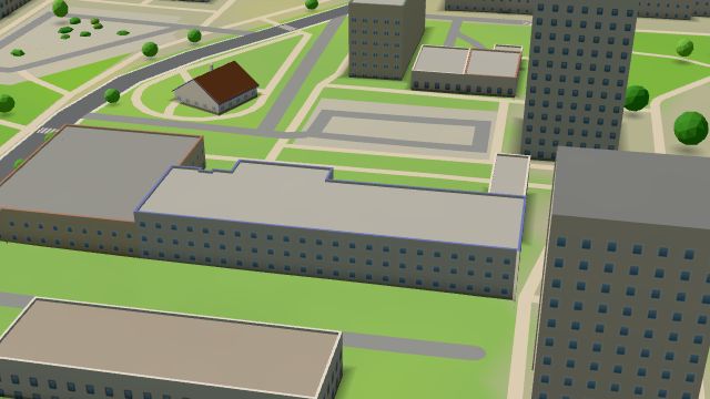 City model
 from OpenStreetMap and ČÚZK data, ODbL Lékárna Pod Strání
Closed · opens tomorrow at 7:30
-
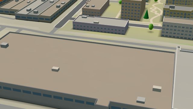 City model
 from OpenStreetMap and ČÚZK data, ODbL Pošta TOPTRANS
Closed · opens tomorrow at 8:00
-
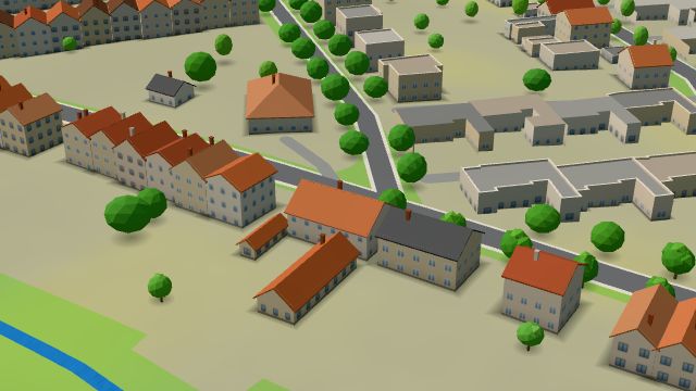 City model
 from OpenStreetMap and ČÚZK data, ODbL U Motlů
Open · closes at 23:00
-
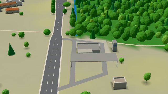 City model
 from OpenStreetMap and ČÚZK data, ODbL Eurobit, Hradec Králové, Holická
Closed · opens tomorrow at 5:00
-
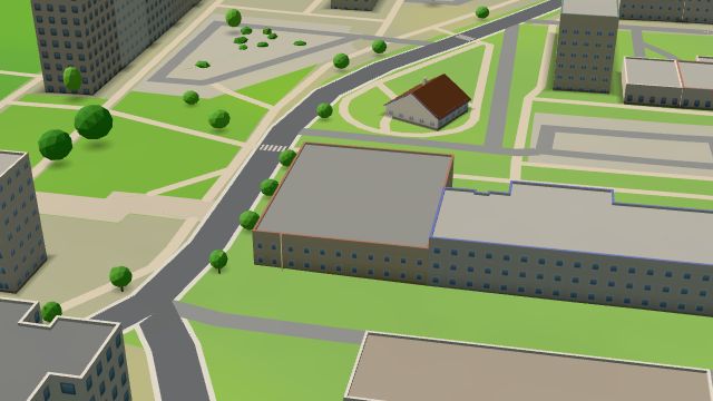 City model
 from OpenStreetMap and ČÚZK data, ODbL Tesco
Closed · opens tomorrow at 7:00
-
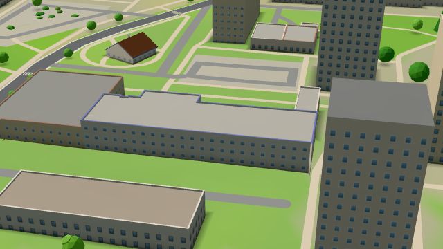 City model
 from OpenStreetMap and ČÚZK data, ODbL Tyfloservis
Closed · opens tomorrow at 13:00
-
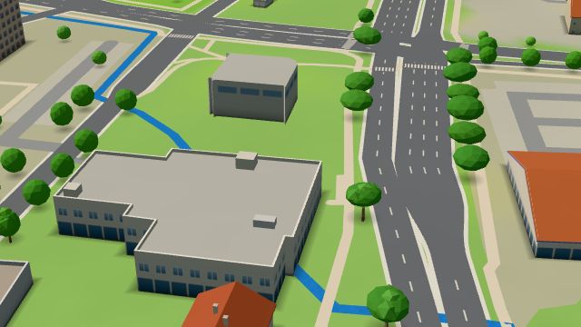 City model
 from OpenStreetMap and ČÚZK data, ODbL -
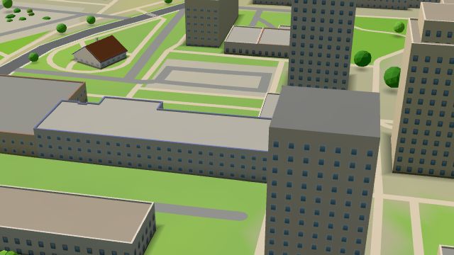 City model
 from OpenStreetMap and ČÚZK data, ODbL Bazalka
Closed · opens tomorrow at 7:00
-
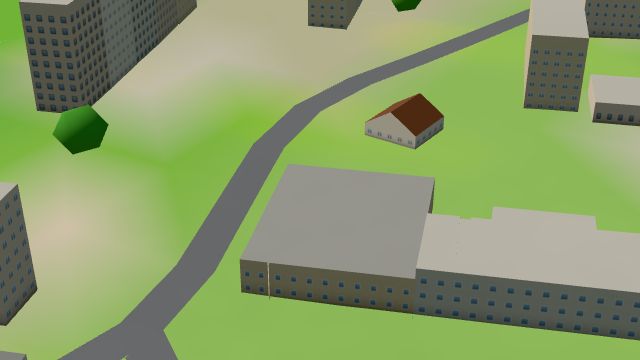 City model
 from OpenStreetMap and ČÚZK data, ODbL -
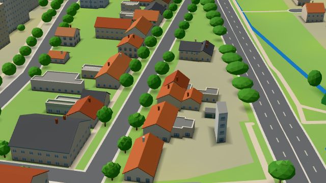 City model
 from OpenStreetMap and ČÚZK data, ODbL -
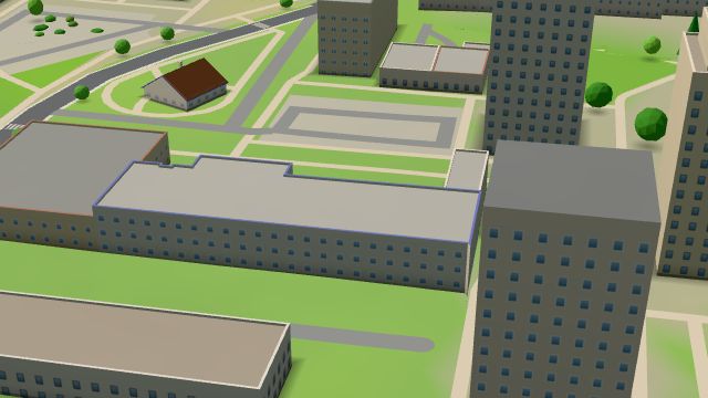 City model
 from OpenStreetMap and ČÚZK data, ODbL Drogérie - papírnictví
Closed · opens tomorrow at 7:30
-
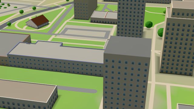 City model
 from OpenStreetMap and ČÚZK data, ODbL -
 City model
 from OpenStreetMap and ČÚZK data, ODbL -
 City model
 from OpenStreetMap and ČÚZK data, ODbL -
 City model
 from OpenStreetMap and ČÚZK data, ODbL -
 City model
 from OpenStreetMap and ČÚZK data, ODbL -
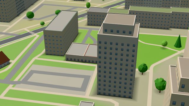 City model
 from OpenStreetMap and ČÚZK data, ODbL Kojot
Open · closes at 3:00
-
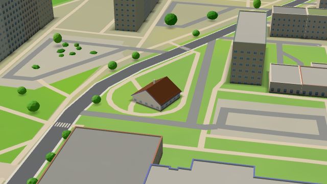 City model
 from OpenStreetMap and ČÚZK data, ODbL Květiny Roll
Closed · opens tomorrow at 8:00
-
 City model
 from OpenStreetMap and ČÚZK data, ODbL -
 City model
 from OpenStreetMap and ČÚZK data, ODbL
What is here
- Shops 12
- Health 9
- Schools 6
- Services 4
- Restaurants 3
- Cafés 3
- Sport 3
- Bars and pubs 2
- Parks and nature 2
- Culture 1
- Landmarks 1
- Accommodation 1
- Doctors 6
- Nursery schools 4
- Groceries and supermarkets 3
- Cakes and ice cream 3
- Dentists 2
- Primary schools 2
- Hospitals and clinics 2
- Books and stationery 2
- Gyms 1
- Electronics and phones 1
- Flowers 1
- Car dealers 1
- Pharmacies 1
- Bakeries 1
- Shoes 1
- Tobacconists 1
- Petrol stations 1
- Czech food 1
- Libraries 1
- Post offices 1