


Nový Hradec Králové
Businesses and places in Nový Hradec Králové, Hradec Králové: 56 places.
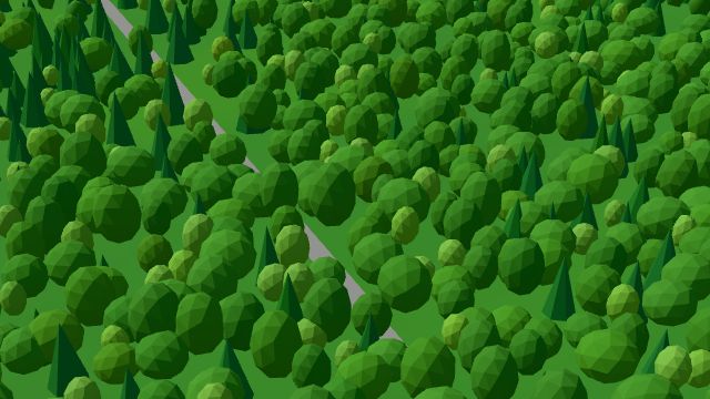
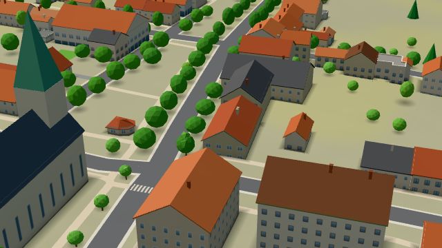
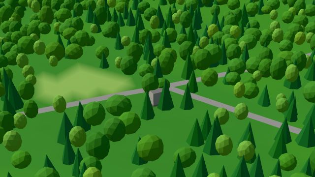
Nový Hradec Králové lies in the south-east of the city; with Kluky, it is the largest part of Hradec Králové by area, much of it forest. It was built from 1766 to 1774 by the woods for people whose suburbs made way for the fortress, with the church of St Anthony the Hermit at its centre. The houses are mostly family homes, while the Hradec forests cover the greater part of the land, with the Biřička, Cikán and Datlík ponds and the Sítovka and Černá stráň nature monuments. It also has the Přírodní divadlo open-air theatre, Restaurace Na Biřičce, a memorial to the forester Rudolf Hacker by the Cesta myslivců reservoir and a baroque statue of St John of Nepomuk, brought here in 1766.
Results
-
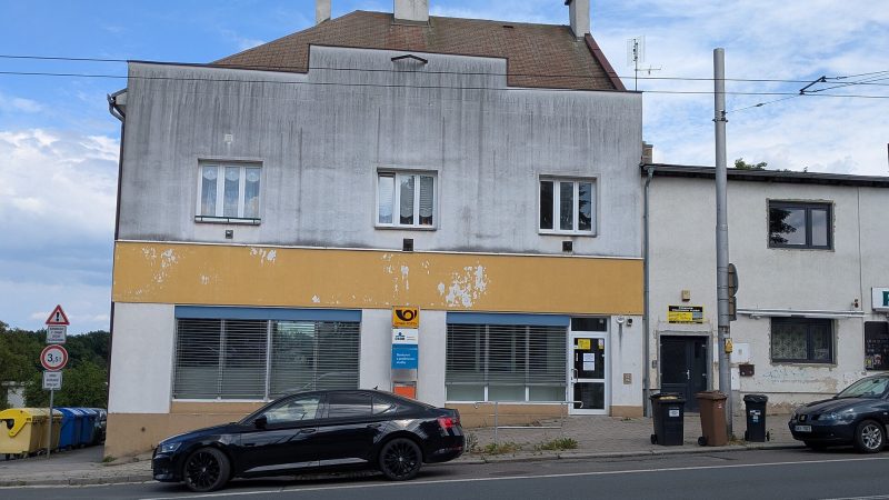
Photo: Insidderr, CC BY-SA 4.0 Pošta Hradec Králové 8
Closed · opens at 8:00
-
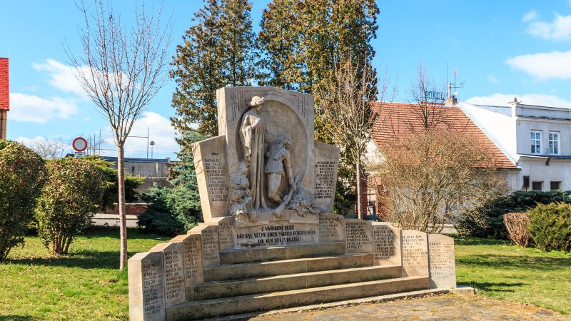
Photo: Petr1888, CC BY-SA 4.0 -
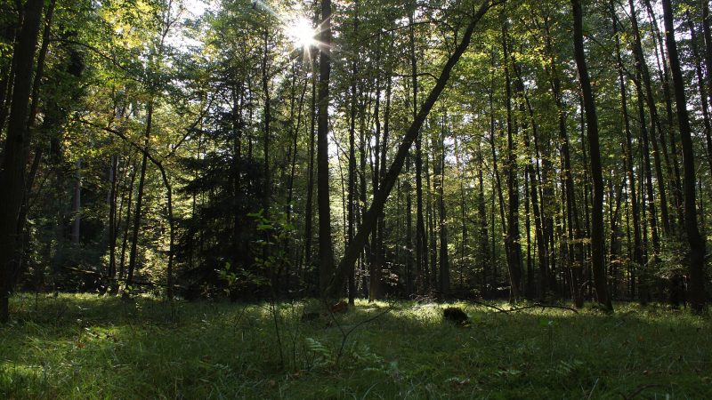
Photo: Vojtěch Dostál (Vojtech.dostal), CC BY 3.0 -
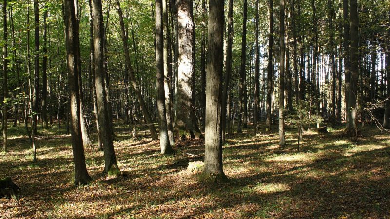
Photo: Vojtěch Dostál (Vojtech.dostal), CC BY 3.0 -
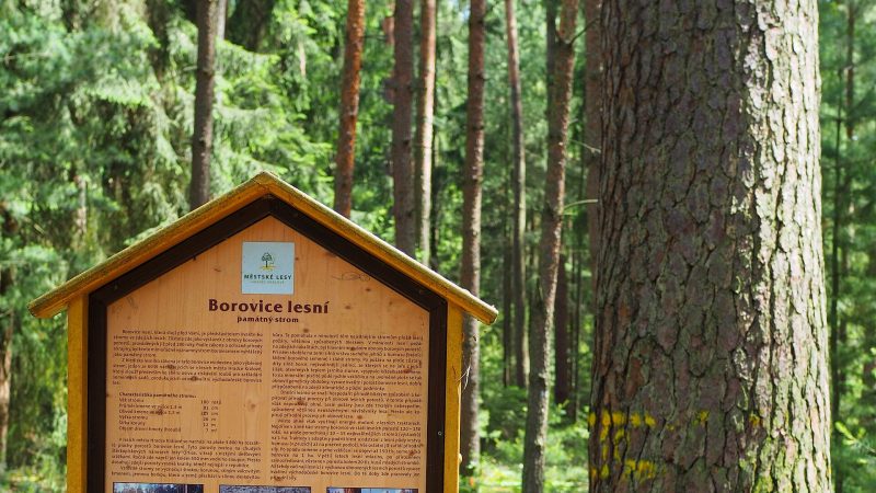
Photo: Tomáš Merta, CC BY-SA 4.0 -
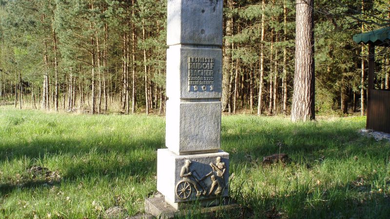
Photo: Boris7, Public domain -
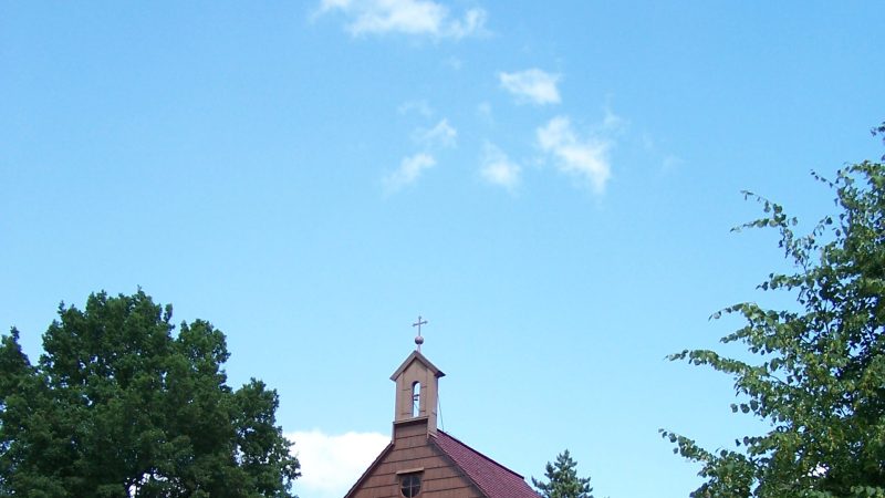
Photo: Kixx, CC BY-SA 3.0 -
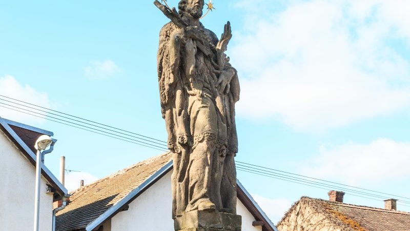
Photo: Petr1888, CC BY-SA 4.0 -
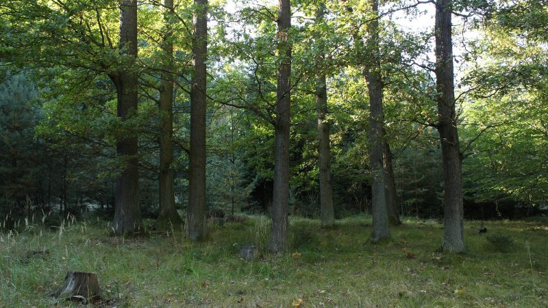
Photo: Vojtěch Dostál (Vojtech.dostal), CC BY 3.0 -
 City model
 from OpenStreetMap and ČÚZK data, ODbL Bufet u Vlka
Closed · opens at 10:00
-
 City model
 from OpenStreetMap and ČÚZK data, ODbL Svatojánská lékárna
Closed · opens at 8:00
-
 City model
 from OpenStreetMap and ČÚZK data, ODbL Cyklozastávka U Pytláka
Closed · opens at 14:00
-
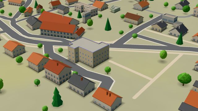 City model
 from OpenStreetMap and ČÚZK data, ODbL -
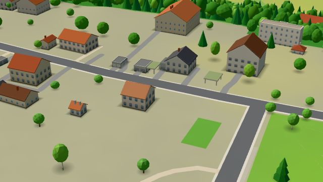 City model
 from OpenStreetMap and ČÚZK data, ODbL -
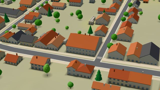 City model
 from OpenStreetMap and ČÚZK data, ODbL -
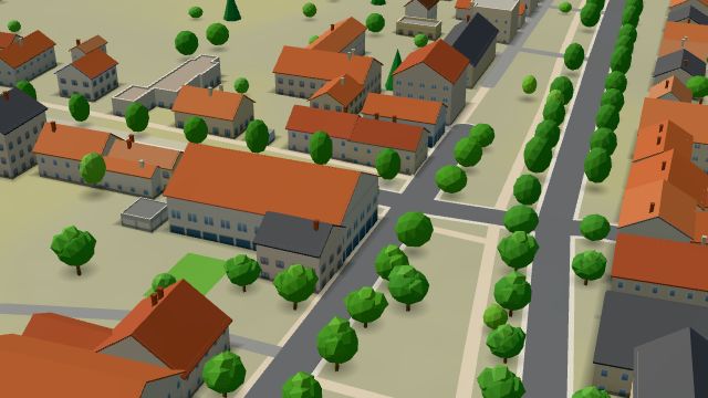 City model
 from OpenStreetMap and ČÚZK data, ODbL -
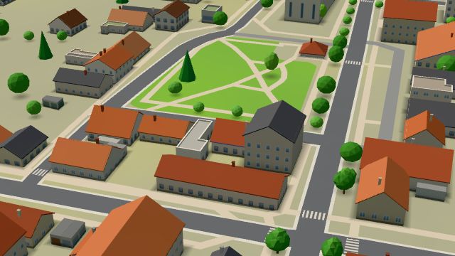 City model
 from OpenStreetMap and ČÚZK data, ODbL -
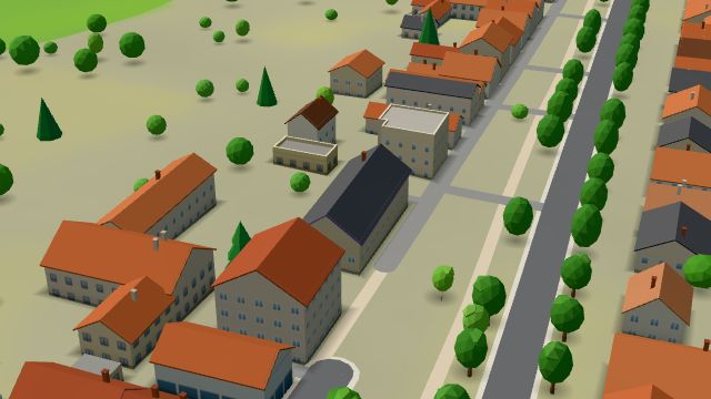 City model
 from OpenStreetMap and ČÚZK data, ODbL -
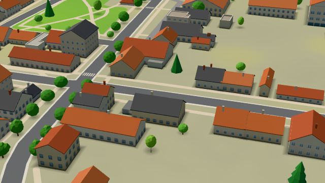 City model
 from OpenStreetMap and ČÚZK data, ODbL -
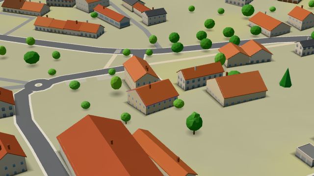 City model
 from OpenStreetMap and ČÚZK data, ODbL -
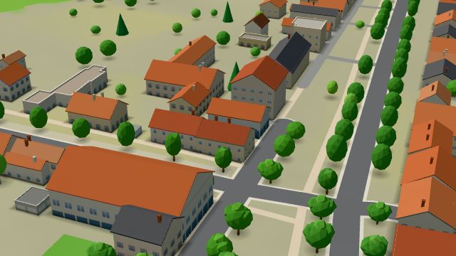 City model
 from OpenStreetMap and ČÚZK data, ODbL -
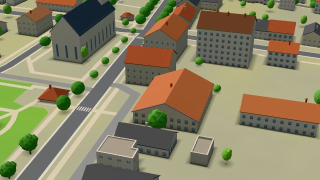 City model
 from OpenStreetMap and ČÚZK data, ODbL -
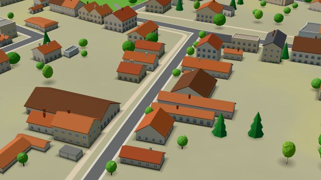 City model
 from OpenStreetMap and ČÚZK data, ODbL -
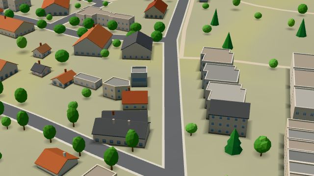 City model
 from OpenStreetMap and ČÚZK data, ODbL
What is here
- Restaurants 9
- Parks and nature 9
- Landmarks 8
- Shops 7
- Services 6
- Health 4
- Culture 3
- Schools 2
- Accommodation 2
- Sport 2
- Wellness 2
- Cafés 1
- Bars and pubs 1
- Fast food 4
- Car repair and tyres 3
- Doctors 2
- Beauty and nails 2
- Bakeries 2
- Churches 2
- Groceries and supermarkets 1
- Dentists 1
- Gyms 1
- Flowers 1
- Nursery schools 1
- Pharmacies 1
- Primary schools 1
- Cakes and ice cream 1
- Museums and galleries 1
- Car washes 1
- Pets 1
- Czech food 1
- Libraries 1
- Theatres 1
- Toys 1
- Post offices 1
- Vets 1