


Plotiště
Businesses and places in Plotiště, Hradec Králové: 41 places.
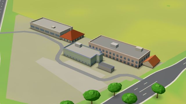
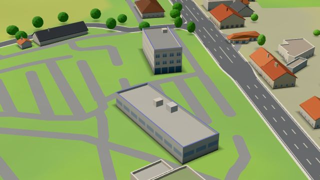
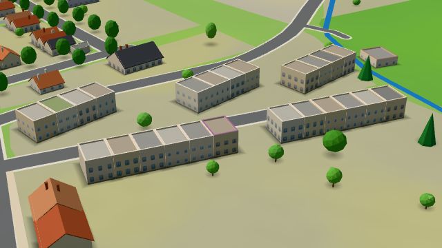
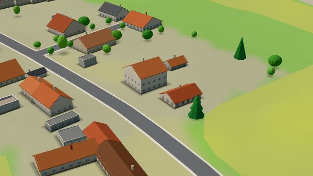
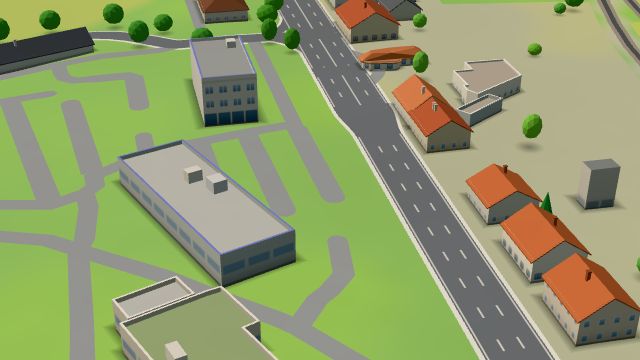
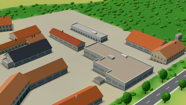
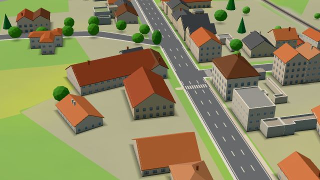
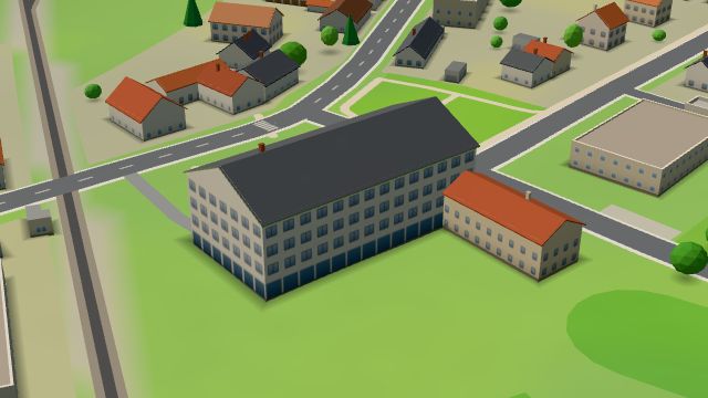
Plotiště, officially Plotiště nad Labem, lies in the north-west of Hradec Králové and is largely suburban; once a farming village, it still grows vegetables on a large scale for the whole city and beyond. The area is rich in archaeological finds going back to the Palaeolithic, the most important from Roman times, when a large Germanic settlement and burial ground lay here. In 1225 the village was given to the town of Hradec Králové. The main sight is the baroque church of St Peter from 1788, with the chapel of St Isidore, a year older, in front of it; there is also a sandstone statue of Jan Hus from 1936 and the Kruhák shopping centre.
Results
-
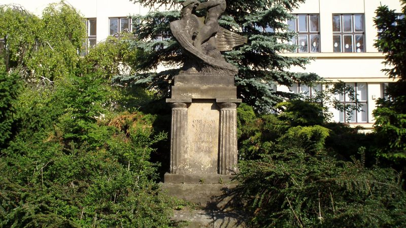
Photo: Boris-Jelinek, CC BY-SA 4.0 -
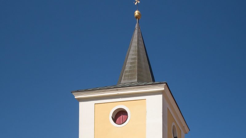
Photo: Michielverbeek, CC BY-SA 4.0 -
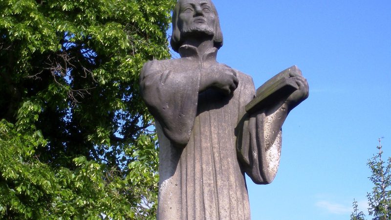
Photo: Boris-Jelinek, CC BY-SA 4.0 -
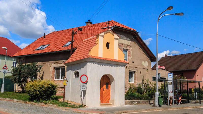
Photo: Petr1888, CC BY-SA 4.0 -
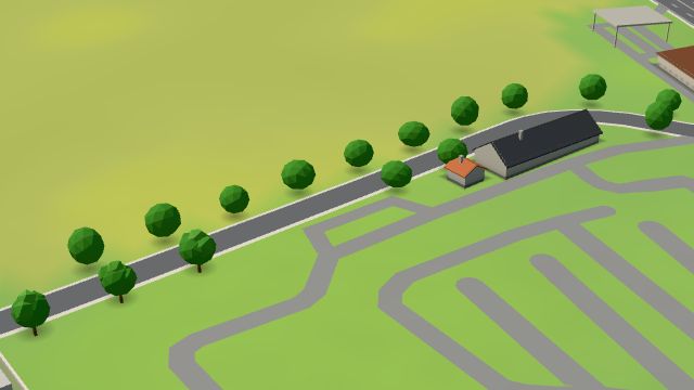 City model
 from OpenStreetMap and ČÚZK data, ODbL Bonett
Open 24 hours
-
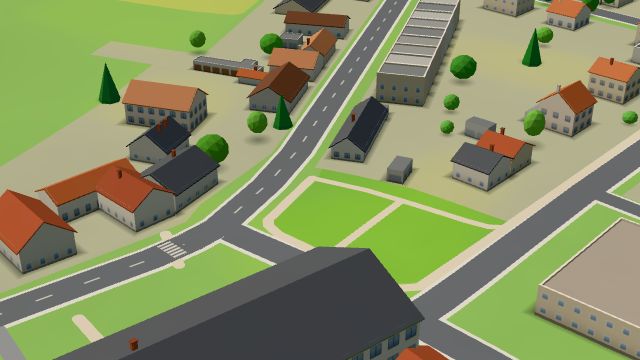 City model
 from OpenStreetMap and ČÚZK data, ODbL -
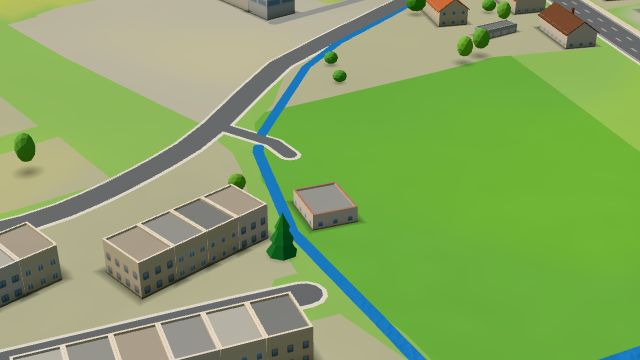 City model
 from OpenStreetMap and ČÚZK data, ODbL U meruny
Closed · opens tomorrow at 16:00
-
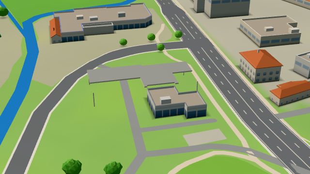 City model
 from OpenStreetMap and ČÚZK data, ODbL Benzina Koutníkova
Open 24 hours
-
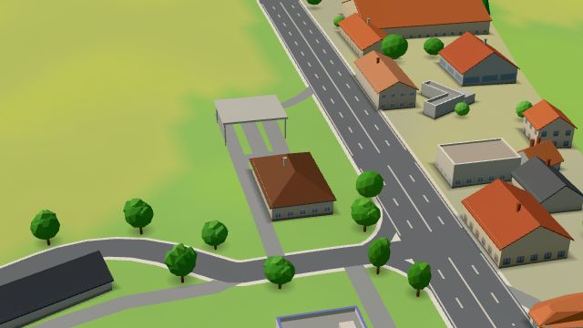 City model
 from OpenStreetMap and ČÚZK data, ODbL MOL, Hradec Králové - Koutníkova I.
Closed · opens tomorrow at 5:00
-
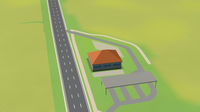 City model
 from OpenStreetMap and ČÚZK data, ODbL MOL, Hradec Králové - Koutníkova II.
Open 24 hours
-
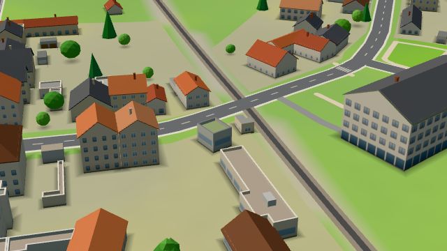 City model
 from OpenStreetMap and ČÚZK data, ODbL -
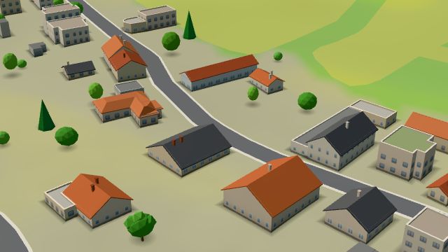 City model
 from OpenStreetMap and ČÚZK data, ODbL -
 City model
 from OpenStreetMap and ČÚZK data, ODbL -
 City model
 from OpenStreetMap and ČÚZK data, ODbL -
 City model
 from OpenStreetMap and ČÚZK data, ODbL -
 City model
 from OpenStreetMap and ČÚZK data, ODbL -
 City model
 from OpenStreetMap and ČÚZK data, ODbL -
 City model
 from OpenStreetMap and ČÚZK data, ODbL -
 City model
 from OpenStreetMap and ČÚZK data, ODbL -
 City model
 from OpenStreetMap and ČÚZK data, ODbL -
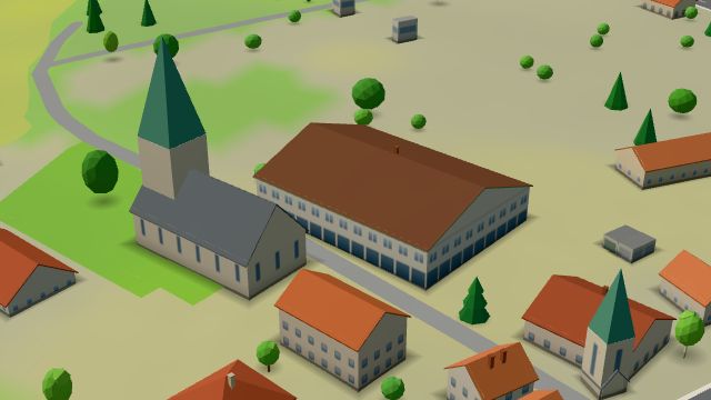 City model
 from OpenStreetMap and ČÚZK data, ODbL -
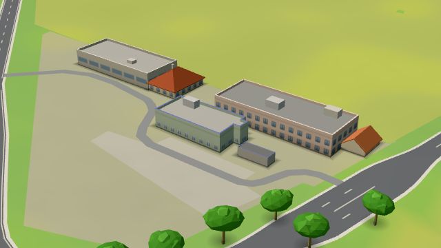 City model
 from OpenStreetMap and ČÚZK data, ODbL -
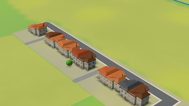 City model
 from OpenStreetMap and ČÚZK data, ODbL -
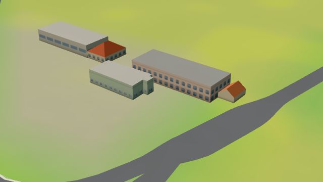 City model
 from OpenStreetMap and ČÚZK data, ODbL
What is here
- Shops 14
- Services 11
- Landmarks 6
- Bars and pubs 3
- Schools 3
- Wellness 2
- Cafés 1
- Health 1
- Furniture and home 4
- Car repair and tyres 4
- Car dealers 4
- Petrol stations 4
- Groceries and supermarkets 3
- Primary schools 3
- Beauty and nails 2
- Car washes 2
- Churches 2
- Doctors 1
- Nursery schools 1
- Bakeries 1
- Driving schools 1