


Pražské Předměstí - jih
Businesses and places in Pražské Předměstí - jih, Hradec Králové: 103 places.
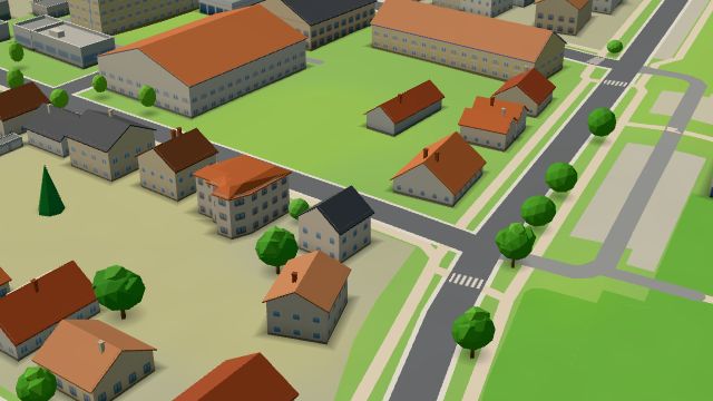
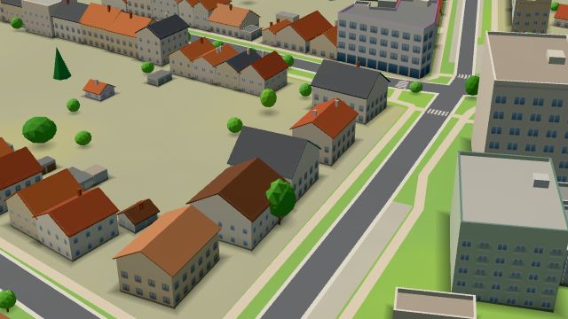
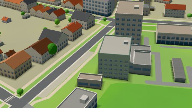
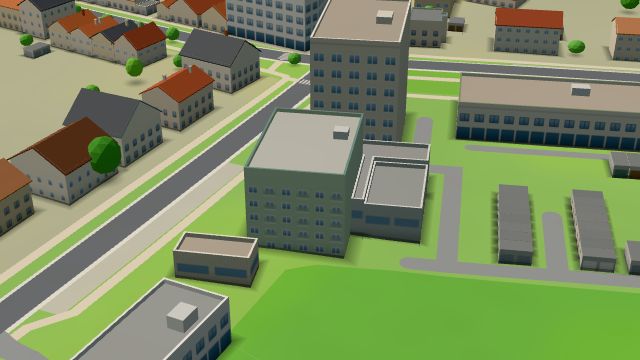
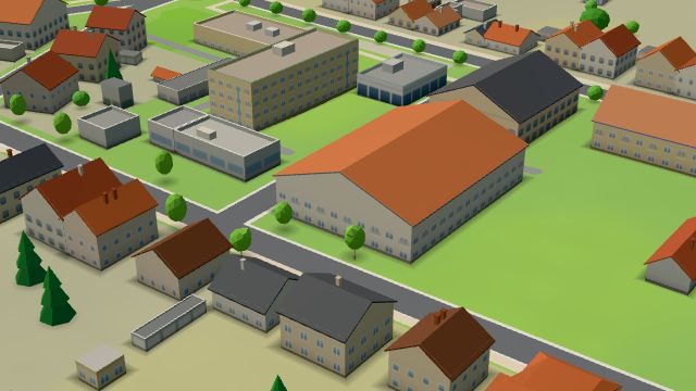
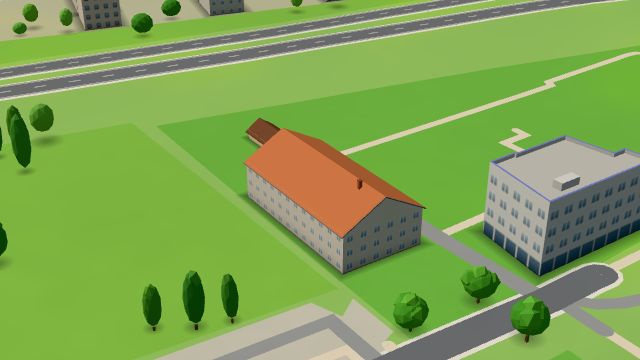
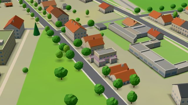
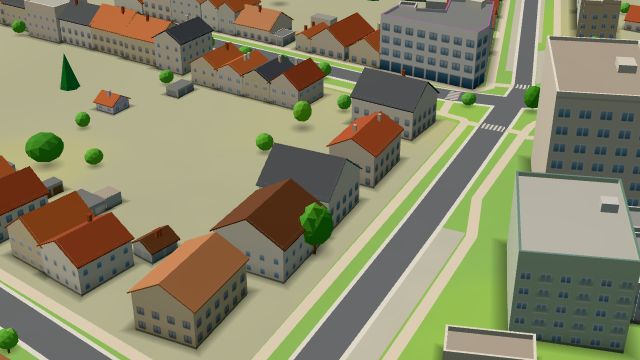
Pražské Předměstí - jih is the southern part of Pražské Předměstí on the west bank of the Elbe, south-west of the centre. Pražské Předměstí belonged to Kukleny from 1850 to 1889, then became a municipality of its own and joined Hradec Králové in 1942. The Na Podhůrkách footbridge crosses the Elbe to Třebeš, the last crossing of the river within the city. Doctors practise in the Poliklinika Bavlna and Poliklinika Foerstrova health centres, and Restaurace Na Soutoku and Hospoda U Báby are places to eat.
Results
-
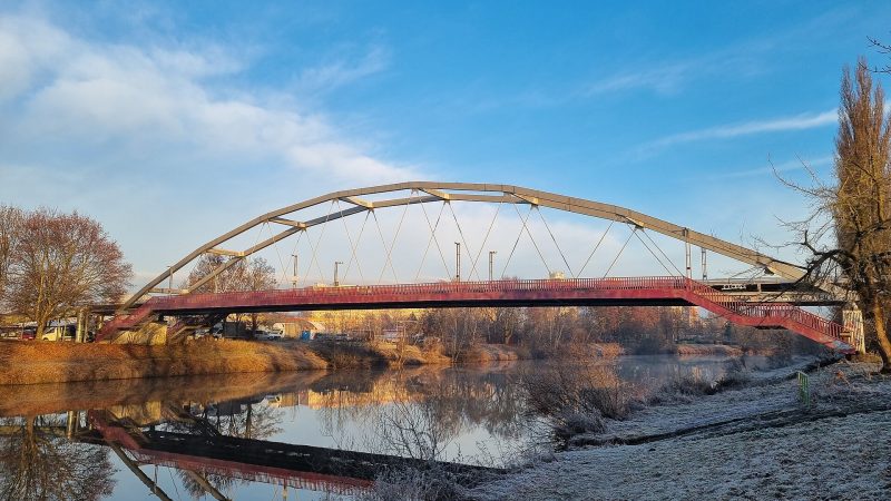
Photo: Vukin, CC BY-SA 4.0 -
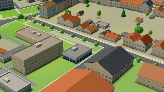 City model
 from OpenStreetMap and ČÚZK data, ODbL Benu
Closed · opens tomorrow at 7:00
-
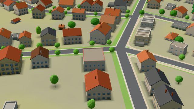 City model
 from OpenStreetMap and ČÚZK data, ODbL Hospoda U Báby
Closed · opens tomorrow at 15:00
-
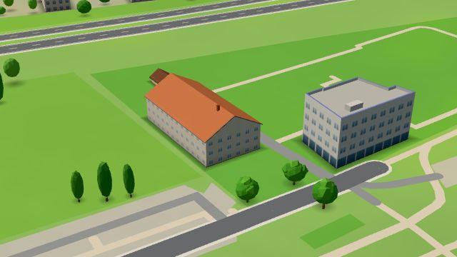 City model
 from OpenStreetMap and ČÚZK data, ODbL Restaurace Na Soutoku
Closed · opens tomorrow at 15:00
-
 City model
 from OpenStreetMap and ČÚZK data, ODbL ASKO Nábytek
Closed · opens tomorrow at 9:00
-
 City model
 from OpenStreetMap and ČÚZK data, ODbL Datart
Closed · opens tomorrow at 9:00
-
 City model
 from OpenStreetMap and ČÚZK data, ODbL Remedika
Closed · opens tomorrow at 7:00
-
 City model
 from OpenStreetMap and ČÚZK data, ODbL Albert
Closed · opens tomorrow at 7:00
-
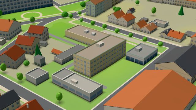 City model
 from OpenStreetMap and ČÚZK data, ODbL -
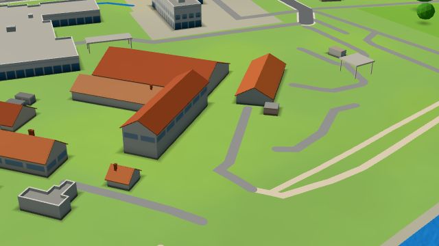 City model
 from OpenStreetMap and ČÚZK data, ODbL -
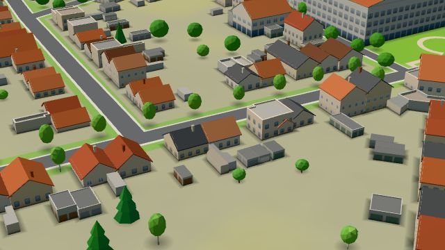 City model
 from OpenStreetMap and ČÚZK data, ODbL -
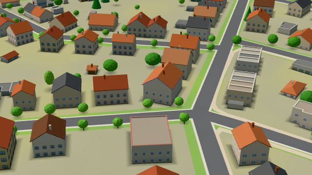 City model
 from OpenStreetMap and ČÚZK data, ODbL -
 City model
 from OpenStreetMap and ČÚZK data, ODbL -
 City model
 from OpenStreetMap and ČÚZK data, ODbL -
 City model
 from OpenStreetMap and ČÚZK data, ODbL -
 City model
 from OpenStreetMap and ČÚZK data, ODbL -
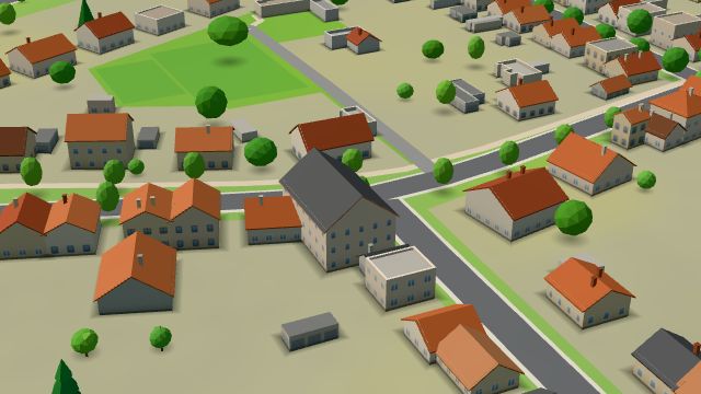 City model
 from OpenStreetMap and ČÚZK data, ODbL Hostinec U Jelena
Closed · opens tomorrow at 16:00
-
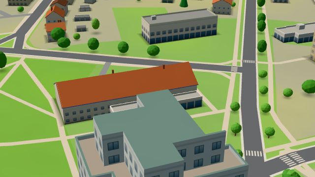 City model
 from OpenStreetMap and ČÚZK data, ODbL Hruška
Closed · opens tomorrow at 7:00
-
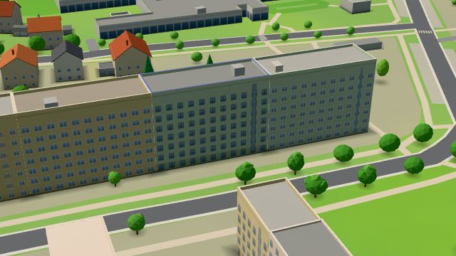 City model
 from OpenStreetMap and ČÚZK data, ODbL -
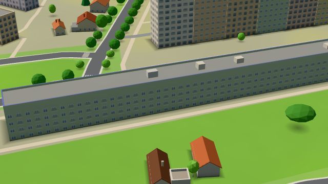 City model
 from OpenStreetMap and ČÚZK data, ODbL -
 City model
 from OpenStreetMap and ČÚZK data, ODbL -
 City model
 from OpenStreetMap and ČÚZK data, ODbL -
 City model
 from OpenStreetMap and ČÚZK data, ODbL -
 City model
 from OpenStreetMap and ČÚZK data, ODbL
What is here
- Health 47
- Shops 19
- Services 9
- Schools 8
- Bars and pubs 7
- Sport 6
- Restaurants 4
- Wellness 2
- Landmarks 1
- Doctors 29
- Dentists 8
- Hospitals and clinics 5
- Groceries and supermarkets 4
- Nursery schools 4
- Physiotherapy 4
- Hairdressers and barbers 3
- Gyms 3
- Primary schools 3
- Clothes and fashion 2
- Beauty and nails 2
- Electronics and phones 2
- Car dealers 2
- Pharmacies 2
- Secondary schools 2
- Petrol stations 2
- Furniture and home 1
- Fast food 1
- Car repair and tyres 1
- Bakeries 1
- Gifts and souvenirs 1
- Shoes 1
- Hardware and DIY 1
- Language schools 1
- Tattoo 1
- Czech food 1
- Breweries 1
- Italian food 1
- Vets 1
- Burgers 1
- Pizza 1
- Blood tests 1
- Psychologists and therapists 1