


Svobodné Dvory
Businesses and places in Svobodné Dvory, Hradec Králové: 30 places.
Svobodné Dvory lies in the north-west of Hradec Králové, with the Labský náhon channel flowing through it and, since 2022, the D11 motorway crossing its land. In April 1899 an almost complete skeleton of a Pleistocene mammoth was found in Morávek's brickworks, one of many here since the late 15th century; it is now in the Museum of East Bohemia. František Komárek's factory was the first in Czechoslovakia to pack sauerkraut in plastic bags, and the SK Meteor ice hockey club played from 1934 to 1969 at a stadium that also hosted speedway. Part of the city since 26 November 1971, it has a memorial to the battle of 1866, the Pod oblohou drive-in cinema and Hospoda U Náhona.
Results
-
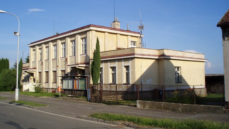
Photo: Boris7, CC BY-SA 4.0 Pošta Hradec Králové 15
Closed · opens tomorrow at 8:00
-
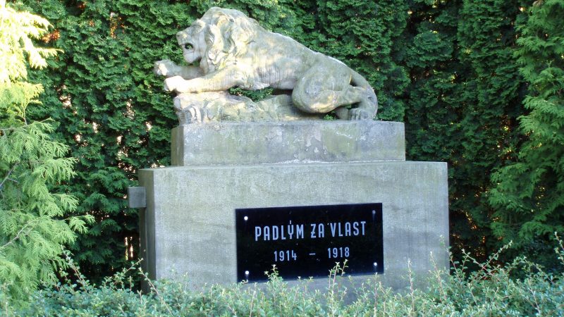
Photo: Boris7, CC BY-SA 4.0 -
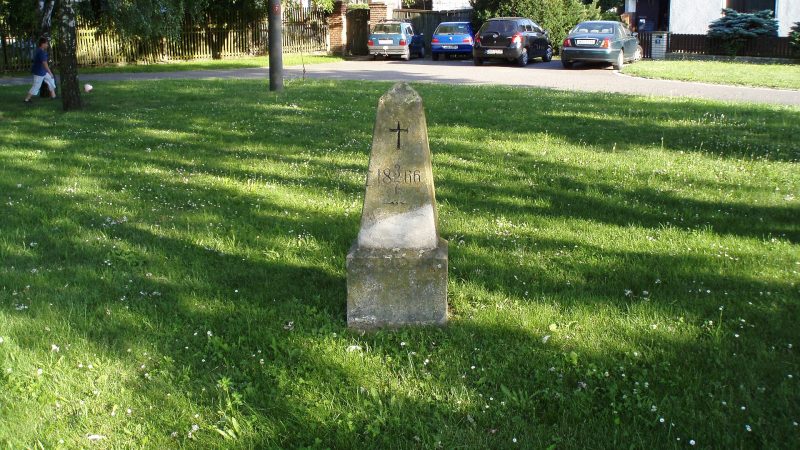
Photo: Boris7, CC BY-SA 4.0 -
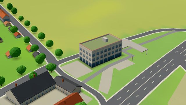 City model
 from OpenStreetMap and ČÚZK data, ODbL EB Dinners
Closed · opens tomorrow at 8:00
-
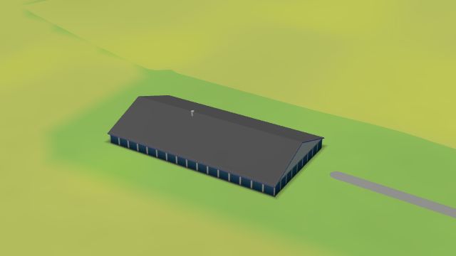 City model
 from OpenStreetMap and ČÚZK data, ODbL Prachárna Autoprodej
Closed · opens tomorrow at 9:00
-
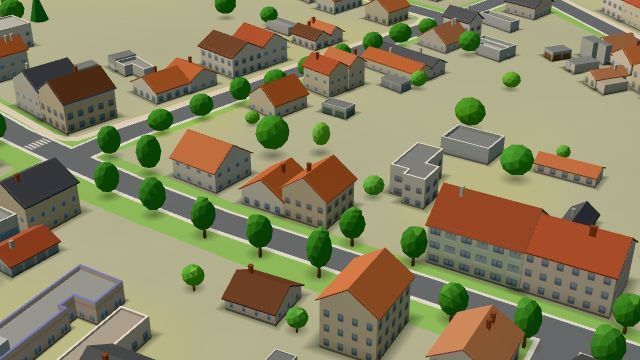 City model
 from OpenStreetMap and ČÚZK data, ODbL -
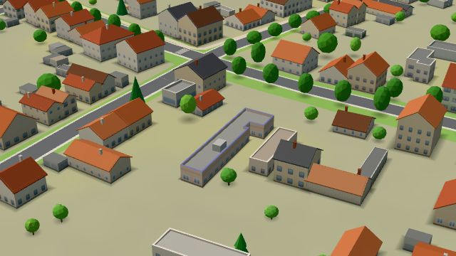 City model
 from OpenStreetMap and ČÚZK data, ODbL -
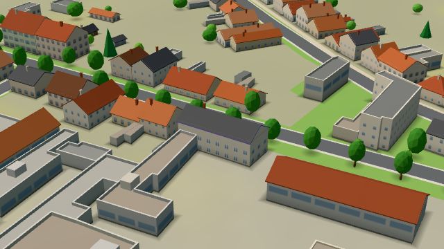 City model
 from OpenStreetMap and ČÚZK data, ODbL -
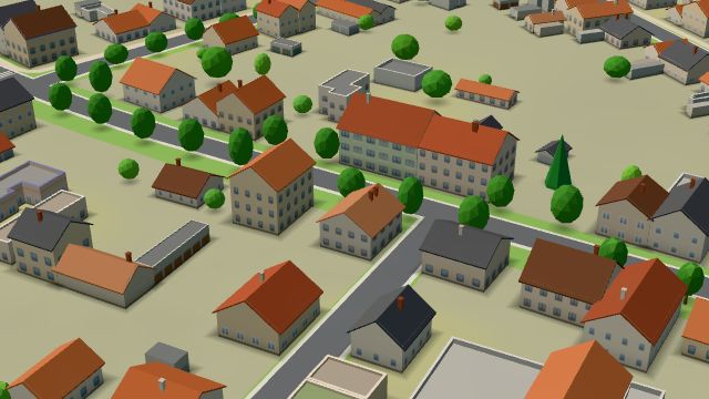 City model
 from OpenStreetMap and ČÚZK data, ODbL -
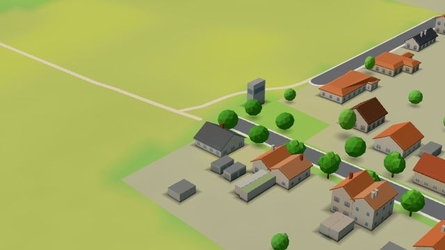 City model
 from OpenStreetMap and ČÚZK data, ODbL -
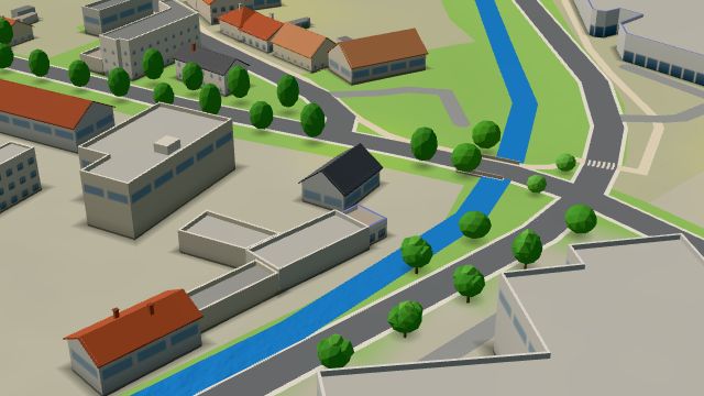 City model
 from OpenStreetMap and ČÚZK data, ODbL -
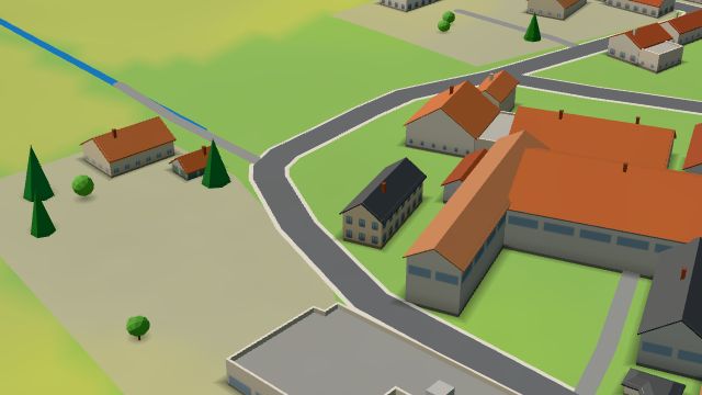 City model
 from OpenStreetMap and ČÚZK data, ODbL -
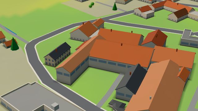 City model
 from OpenStreetMap and ČÚZK data, ODbL -
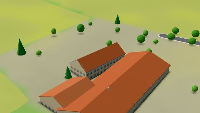 City model
 from OpenStreetMap and ČÚZK data, ODbL -
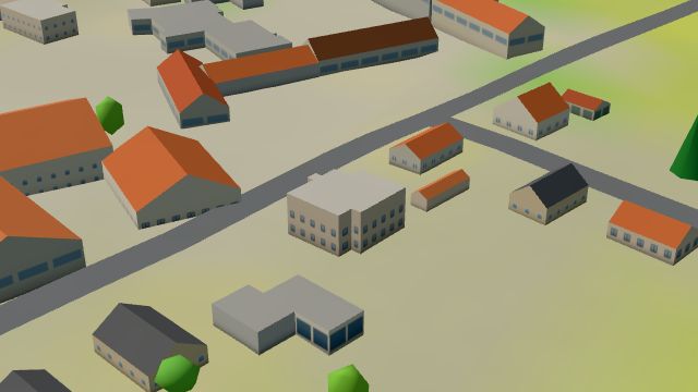 City model
 from OpenStreetMap and ČÚZK data, ODbL -
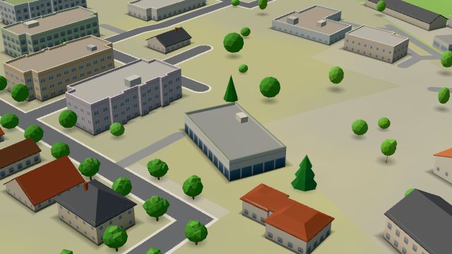 City model
 from OpenStreetMap and ČÚZK data, ODbL -
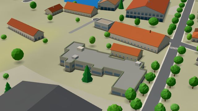 City model
 from OpenStreetMap and ČÚZK data, ODbL -
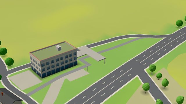 City model
 from OpenStreetMap and ČÚZK data, ODbL -
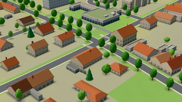 City model
 from OpenStreetMap and ČÚZK data, ODbL -
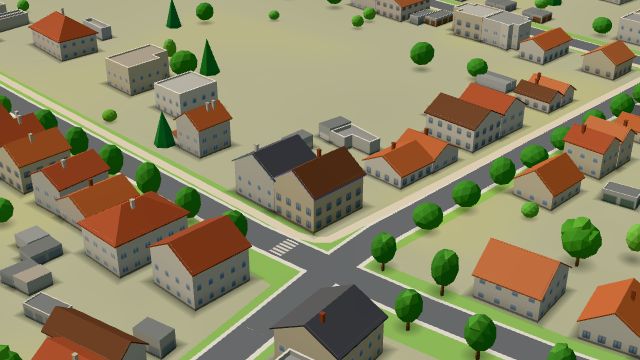 City model
 from OpenStreetMap and ČÚZK data, ODbL -
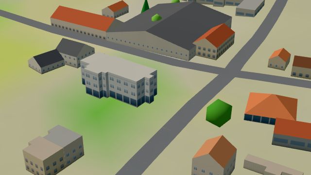 City model
 from OpenStreetMap and ČÚZK data, ODbL -
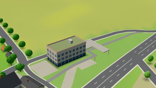 City model
 from OpenStreetMap and ČÚZK data, ODbL -
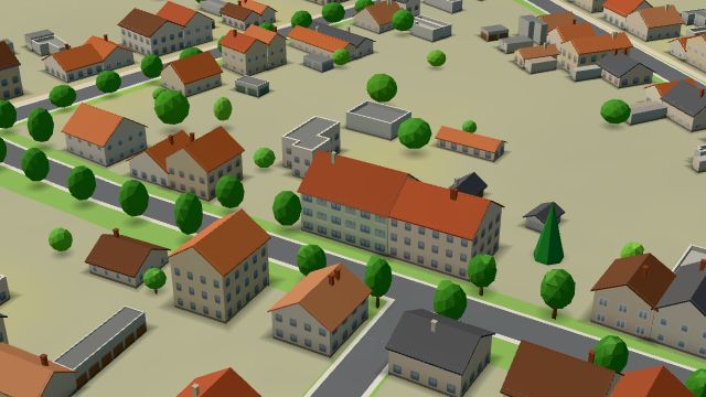 City model
 from OpenStreetMap and ČÚZK data, ODbL -
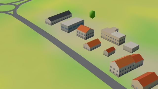 City model
 from OpenStreetMap and ČÚZK data, ODbL
What is here
- Shops 6
- Restaurants 5
- Health 4
- Schools 3
- Services 3
- Accommodation 3
- Landmarks 2
- Bars and pubs 1
- Culture 1
- Sport 1
- Wellness 1
- Dentists 4
- Groceries and supermarkets 2
- Car repair and tyres 2
- Nursery schools 2
- Beauty and nails 1
- Furniture and home 1
- Gyms 1
- Flowers 1
- Car dealers 1
- Primary schools 1
- Petrol stations 1
- Breweries 1
- Post offices 1
- Burgers 1