


Horní Kosov
Businesses and places in Horní Kosov, Jihlava: 46 places.
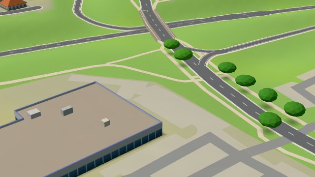
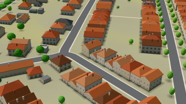
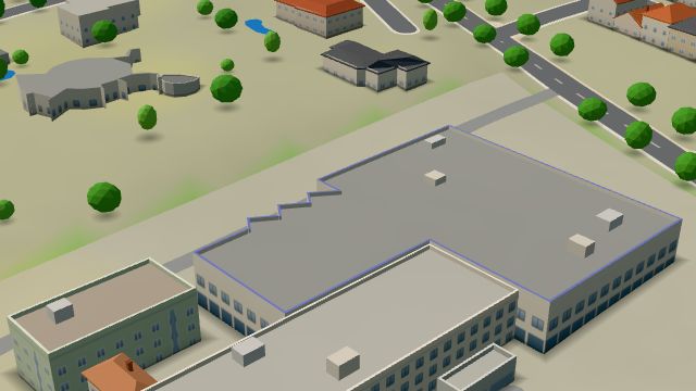
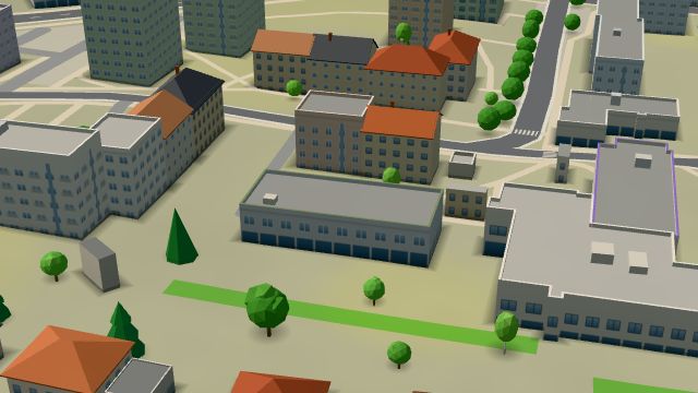
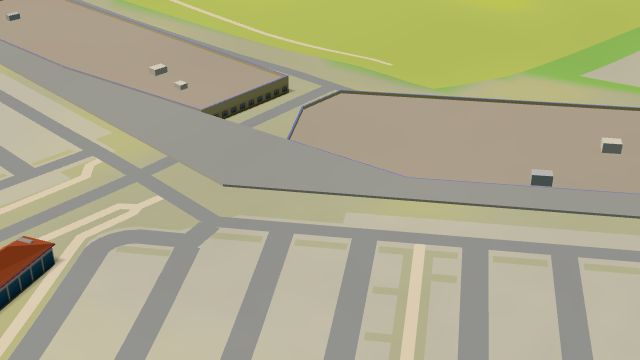
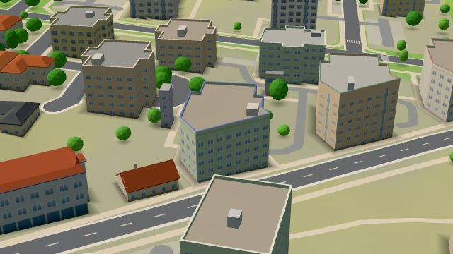
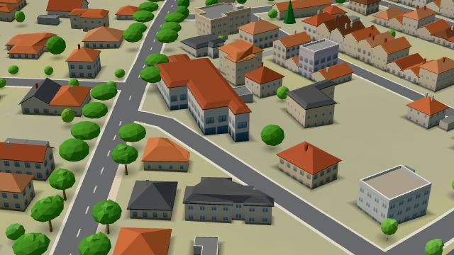
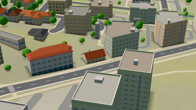
Horní Kosov is a part of Jihlava in the west of the city, now fully joined to it by buildings and infrastructure and still growing. First recorded in 1359, the village takes its name from the German Gasse, a street, with Horní (upper) added to tell it apart from Kosov. It belonged to Hosov and later Rantířov, was a municipality of its own from 1960 to 1980 and has been part of Jihlava since 1 April 1980. The Jihlava bypass runs along its eastern edge through the Jihlava tunnel. It has the chapel of the Holy Trinity, the Jihlava 5 post office, a branch of the city library, the Formanská pošta saloon and the Möbelix and Uni Hobby stores.
Results
-
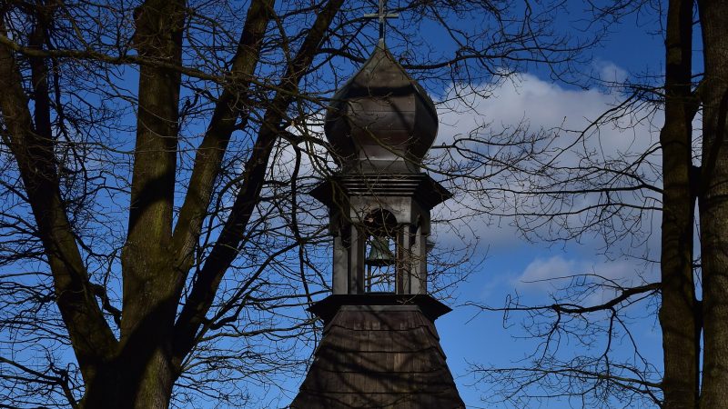
Photo: Denisa, CC BY-SA 4.0 -
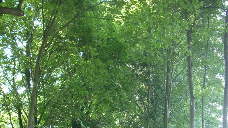
Photo: Schuminka janička, CC BY 3.0 -
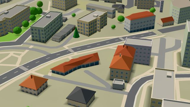 City model
 from OpenStreetMap and ČÚZK data, ODbL Pošta Jihlava 5
Open · closes at 11:00
-
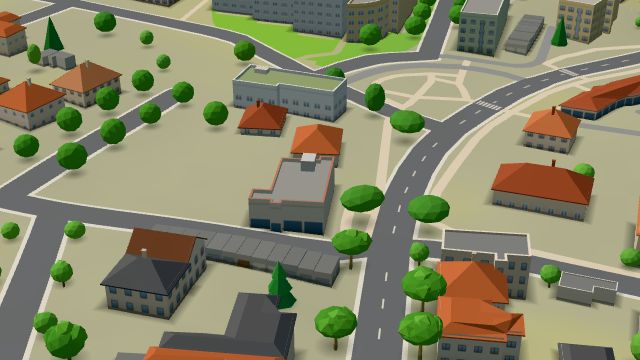 City model
 from OpenStreetMap and ČÚZK data, ODbL Formanská pošta - Western saloon
Closed · opens at 15:00
-
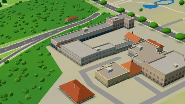 City model
 from OpenStreetMap and ČÚZK data, ODbL -
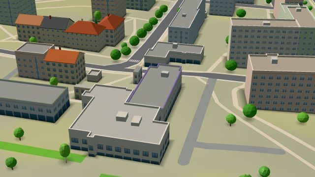 City model
 from OpenStreetMap and ČÚZK data, ODbL -
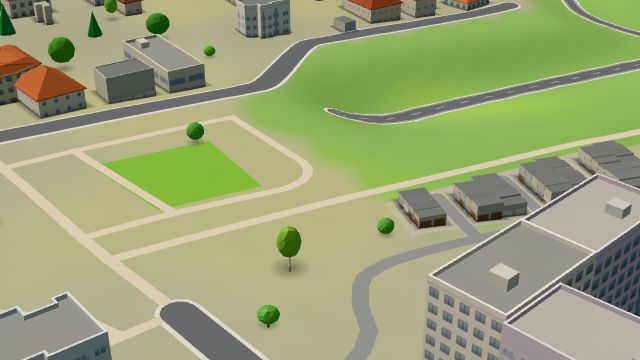 City model
 from OpenStreetMap and ČÚZK data, ODbL -
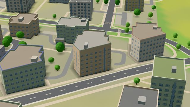 City model
 from OpenStreetMap and ČÚZK data, ODbL -
 City model
 from OpenStreetMap and ČÚZK data, ODbL -
 City model
 from OpenStreetMap and ČÚZK data, ODbL -
 City model
 from OpenStreetMap and ČÚZK data, ODbL -
 City model
 from OpenStreetMap and ČÚZK data, ODbL -
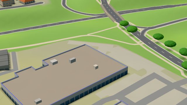 City model
 from OpenStreetMap and ČÚZK data, ODbL -
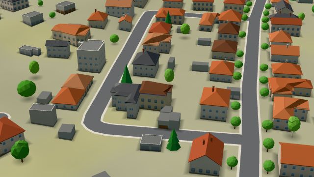 City model
 from OpenStreetMap and ČÚZK data, ODbL -
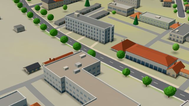 City model
 from OpenStreetMap and ČÚZK data, ODbL -
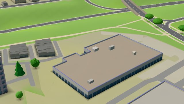 City model
 from OpenStreetMap and ČÚZK data, ODbL -
 City model
 from OpenStreetMap and ČÚZK data, ODbL -
 City model
 from OpenStreetMap and ČÚZK data, ODbL -
 City model
 from OpenStreetMap and ČÚZK data, ODbL -
 City model
 from OpenStreetMap and ČÚZK data, ODbL -
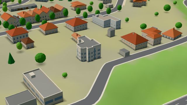 City model
 from OpenStreetMap and ČÚZK data, ODbL -
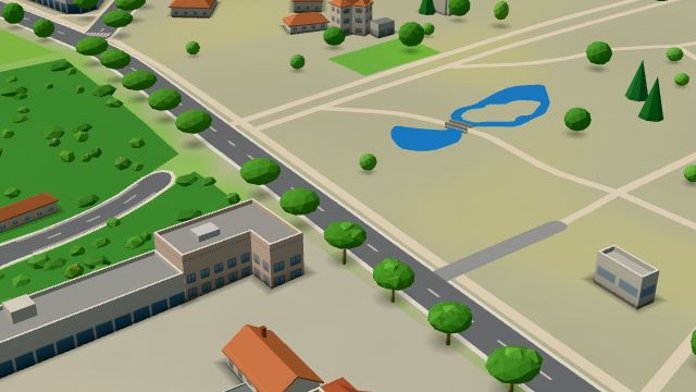 City model
 from OpenStreetMap and ČÚZK data, ODbL -
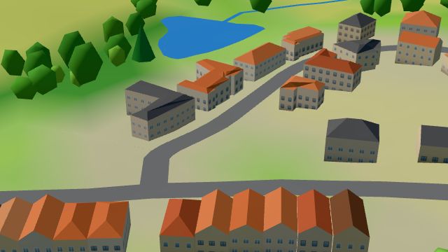 City model
 from OpenStreetMap and ČÚZK data, ODbL -
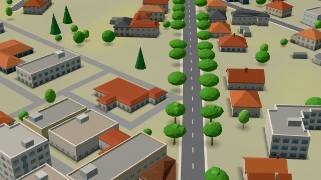 City model
 from OpenStreetMap and ČÚZK data, ODbL
What is here
- Shops 15
- Services 6
- Bars and pubs 4
- Restaurants 3
- Culture 3
- Parks and nature 3
- Health 3
- Wellness 3
- Schools 2
- Sport 2
- Cafés 1
- Landmarks 1
- Furniture and home 5
- Beauty and nails 3
- Car dealers 3
- Doctors 2
- Electronics and phones 2
- Hardware and DIY 2
- Vets 2
- Groceries and supermarkets 1
- Dentists 1
- Car repair and tyres 1
- Nursery schools 1
- Churches 1
- Primary schools 1
- Gyms 1
- Bakeries 1
- Hairdressers and barbers 1
- Gifts and souvenirs 1
- Breweries 1
- Post offices 1