


Sedlec
Businesses and places in Sedlec, Karlovy Vary: 16 places.
Sedlec lies on the northern edge of Karlovy Vary, on a rise ringed by ponds and marshes, some of them left behind by mining. It takes its name from the Slavic tribe of the Sedličané, and in the 11th and 12th centuries the Sedlec hillfort was the Přemyslid administrative centre of the region. In 1924 Sedlec kaolin was recognised as the international standard of quality. The baroque pilgrimage church of St Anne was built from 1738 to 1747 by Johann Schmied to an adapted design by Kilián Ignác Dientzenhofer; Sedlec has been part of the city since 1 January 1975, and the Sedlecká pivnice is a place for a drink.
Results
-
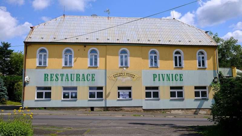
Photo: Lubor Ferenc, CC BY 4.0 Sedlecká pivnice
Open · closes at 22:00
-
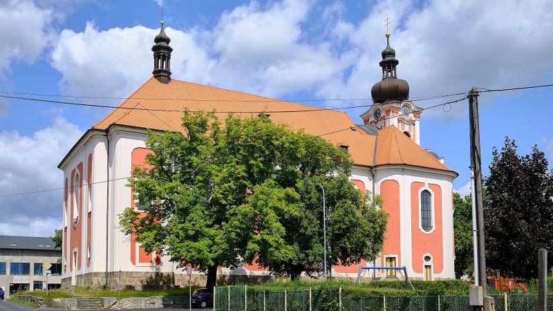
Photo: Lubor Ferenc, CC BY-SA 4.0 -
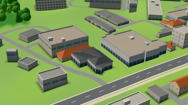 City model
 from OpenStreetMap and ČÚZK data, ODbL KESSL
Open · closes at 17:00
-
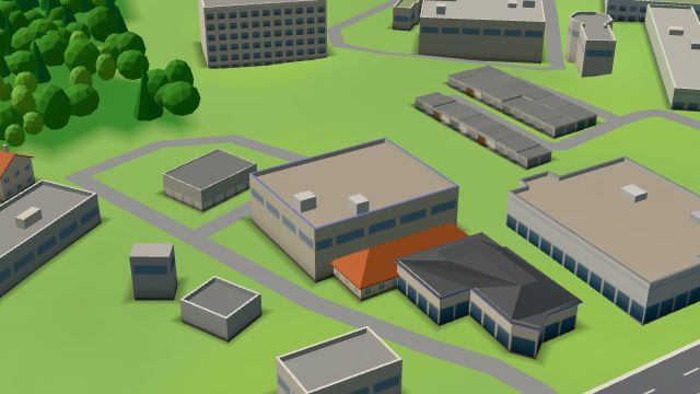 City model
 from OpenStreetMap and ČÚZK data, ODbL KESSL
Open · closes at 17:00
-
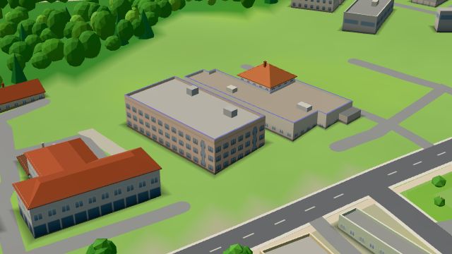 City model
 from OpenStreetMap and ČÚZK data, ODbL Swiss Automotive Group CZ
Open · closes at 17:00
-
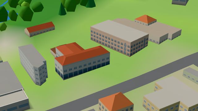 City model
 from OpenStreetMap and ČÚZK data, ODbL city roasters
Open · closes at 18:00
-
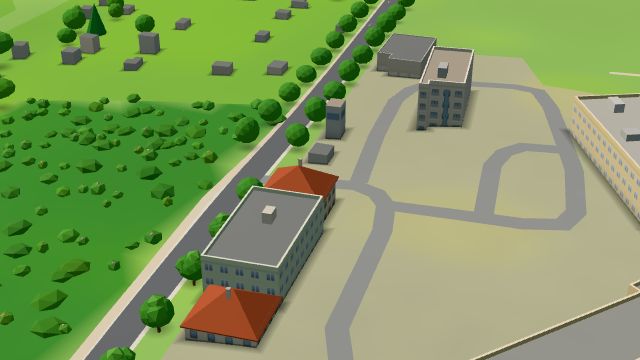 City model
 from OpenStreetMap and ČÚZK data, ODbL -
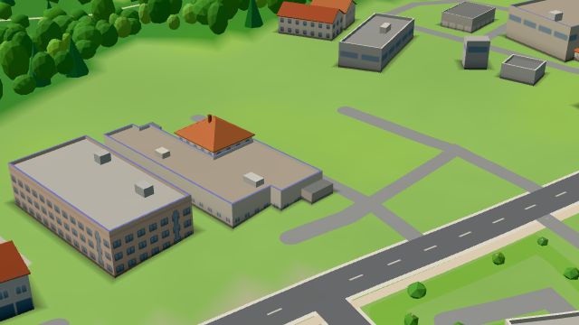 City model
 from OpenStreetMap and ČÚZK data, ODbL -
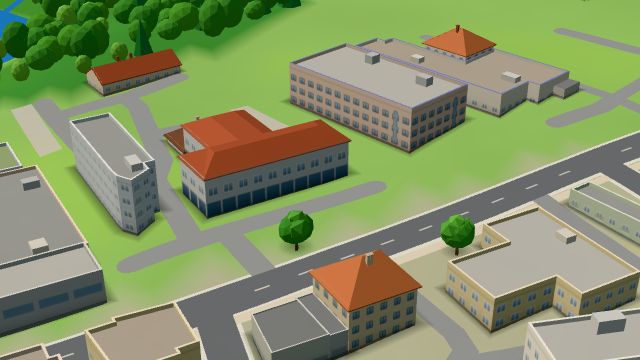 City model
 from OpenStreetMap and ČÚZK data, ODbL -
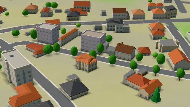 City model
 from OpenStreetMap and ČÚZK data, ODbL -
 City model
 from OpenStreetMap and ČÚZK data, ODbL -
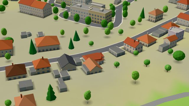 City model
 from OpenStreetMap and ČÚZK data, ODbL -
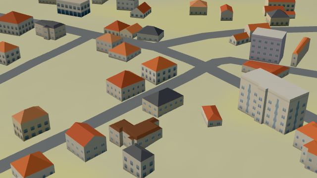 City model
 from OpenStreetMap and ČÚZK data, ODbL -
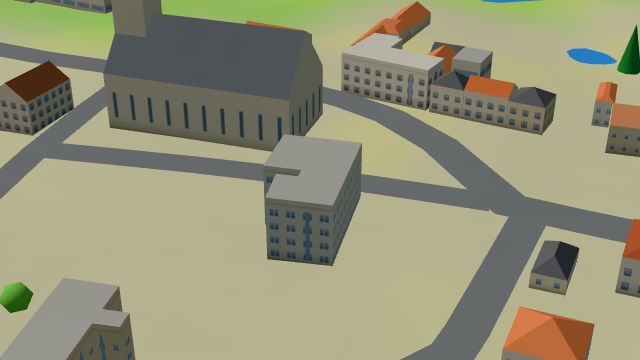 City model
 from OpenStreetMap and ČÚZK data, ODbL -
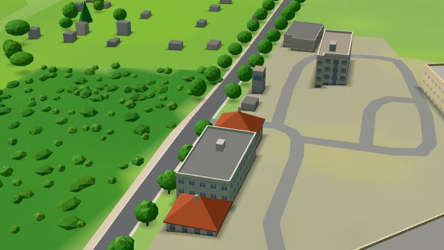 City model
 from OpenStreetMap and ČÚZK data, ODbL -
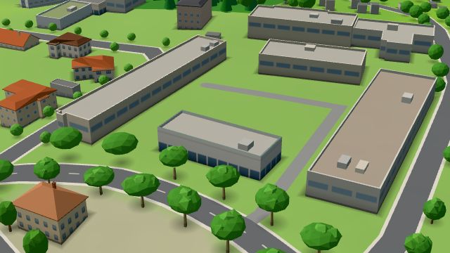 City model
 from OpenStreetMap and ČÚZK data, ODbL