


Stará Role
Businesses and places in Stará Role, Karlovy Vary: 89 places.
Stará Role lies in the north-west of the city along the Rolava, from which it probably takes its name, and is first recorded in 1422. A stoneware factory was founded here in 1814 and made porcelain from 1838; one of the oldest porcelain works in the country, it ran until 2018. Stará Role became a town in 1926 and remained one until it merged with Karlovy Vary on 1 January 1976; its housing estate was begun in the 1960s. The neo-Romanesque church of the Ascension dates from 1908, with the U Kostela restaurant right beside it, and Bašta u Stýblů and JYSK are among the other places here.
Results
-
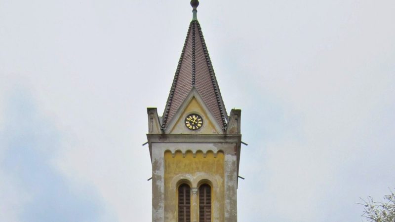
Photo: Hypermarc, CC BY-SA 3.0 -
 City model
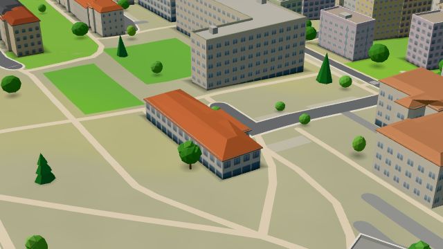
 from OpenStreetMap and ČÚZK data, ODbL Pošta Karlovy Vary 17
Open · closes at 18:00
-
 City model
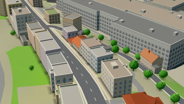
 from OpenStreetMap and ČÚZK data, ODbL Bašta u Stýblů
Closed · opens at 10:00
-
 City model
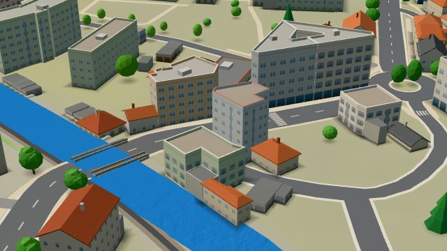
 from OpenStreetMap and ČÚZK data, ODbL Gruzínská restaurace “Cha-Cha”
Closed · opens at 10:00
-
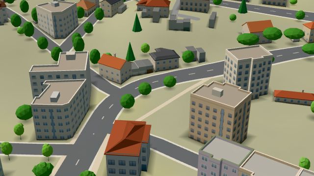 City model
 from OpenStreetMap and ČÚZK data, ODbL -
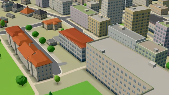 City model
 from OpenStreetMap and ČÚZK data, ODbL Echinacea
Open · closes at 17:30
-
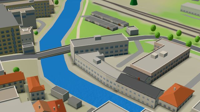 City model
 from OpenStreetMap and ČÚZK data, ODbL -
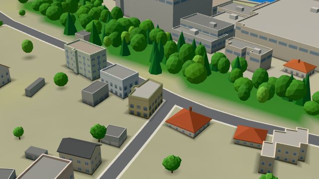 City model
 from OpenStreetMap and ČÚZK data, ODbL -
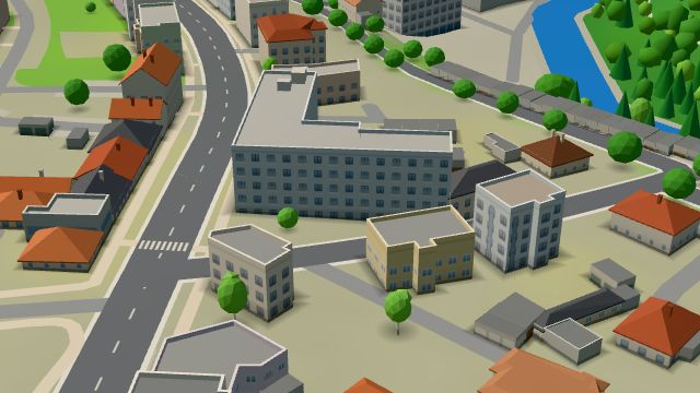 City model
 from OpenStreetMap and ČÚZK data, ODbL -
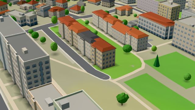 City model
 from OpenStreetMap and ČÚZK data, ODbL -
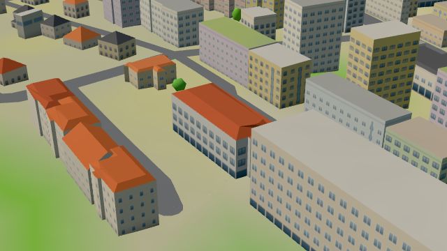 City model
 from OpenStreetMap and ČÚZK data, ODbL -
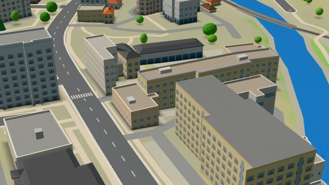 City model
 from OpenStreetMap and ČÚZK data, ODbL -
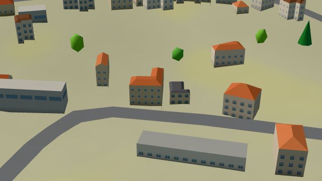 City model
 from OpenStreetMap and ČÚZK data, ODbL -
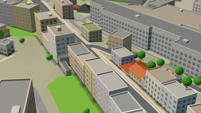 City model
 from OpenStreetMap and ČÚZK data, ODbL -
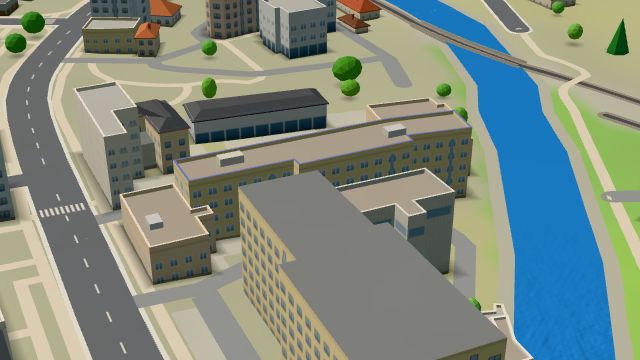 City model
 from OpenStreetMap and ČÚZK data, ODbL -
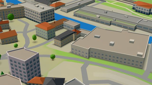 City model
 from OpenStreetMap and ČÚZK data, ODbL -
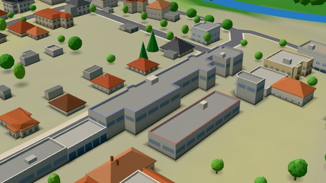 City model
 from OpenStreetMap and ČÚZK data, ODbL -
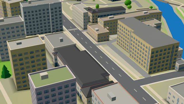 City model
 from OpenStreetMap and ČÚZK data, ODbL -
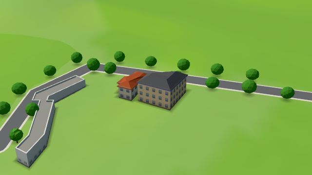 City model
 from OpenStreetMap and ČÚZK data, ODbL -
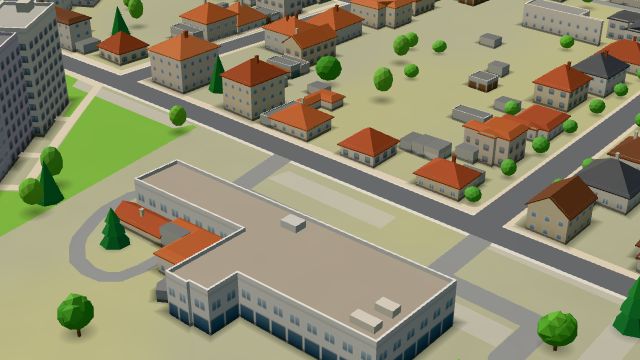 City model
 from OpenStreetMap and ČÚZK data, ODbL -
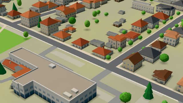 City model
 from OpenStreetMap and ČÚZK data, ODbL -
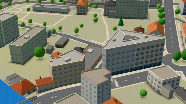 City model
 from OpenStreetMap and ČÚZK data, ODbL -
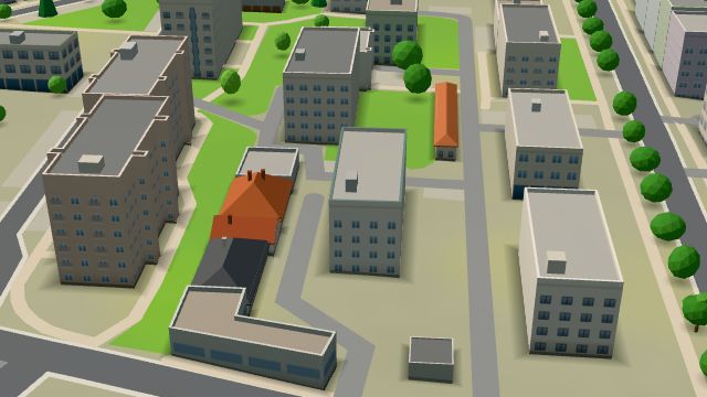 City model
 from OpenStreetMap and ČÚZK data, ODbL -
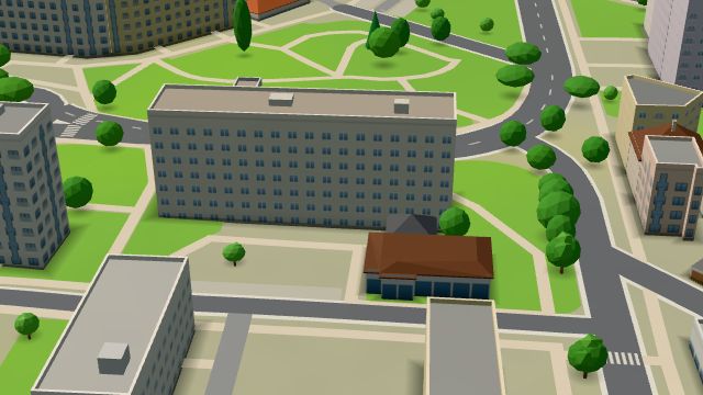 City model
 from OpenStreetMap and ČÚZK data, ODbL
What is here
- Health 25
- Shops 19
- Schools 11
- Restaurants 9
- Services 7
- Sport 7
- Bars and pubs 4
- Landmarks 3
- Cafés 2
- Wellness 2
- Doctors 16
- Furniture and home 6
- Groceries and supermarkets 5
- Dentists 5
- Primary schools 5
- Nursery schools 4
- Car repair and tyres 3
- Gyms 3
- Physiotherapy 2
- Secondary schools 2
- Driving schools 2
- Clothes and fashion 1
- Beauty and nails 1
- Cakes and ice cream 1
- Pharmacies 1
- Churches 1
- Hardware and DIY 1
- Flowers 1
- Gifts and souvenirs 1
- Petrol stations 1
- Massage 1
- Language schools 1
- Nightlife 1