


Tašovice
Businesses and places in Tašovice, Karlovy Vary: 17 places.
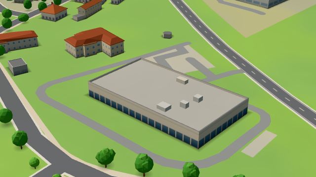
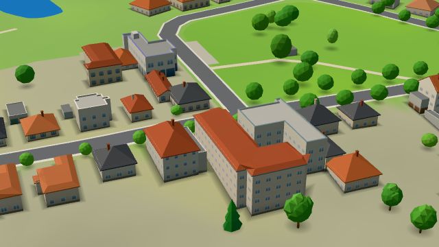
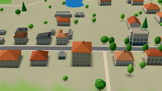
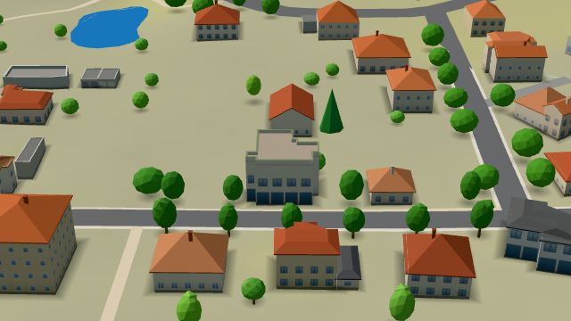
Tašovice is a part of Karlovy Vary built up with family houses; the D6 motorway passes to the north, and to the south the Ohře runs through its valley, where the Kaňon Ohře protected site ends. Slavs lived here as early as the 9th or 10th century, the first written record dates from 1464, and Tašovice has been part of Karlovy Vary since 1 July 1974. By its south-western edge is an archaeological reserve where thousands of stone tools of Mesolithic hunters and fishers were found. Restaurace Pyramida and Rybí bašta U Kapličky serve meals, and Penzion Tašovice and Villa Vlasta have rooms.
Results
-
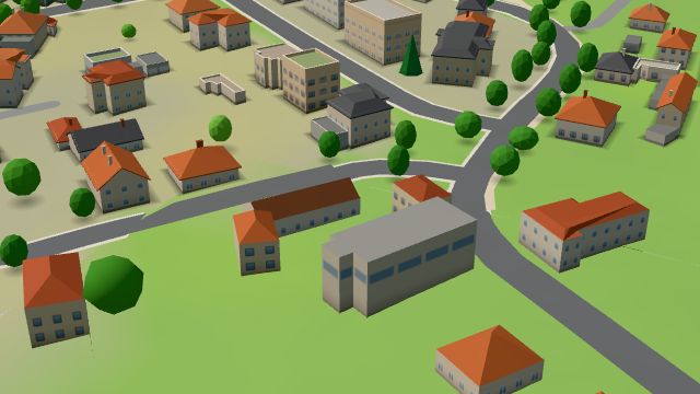 City model
 from OpenStreetMap and ČÚZK data, ODbL KV Auto
Open · closes at 17:00
-
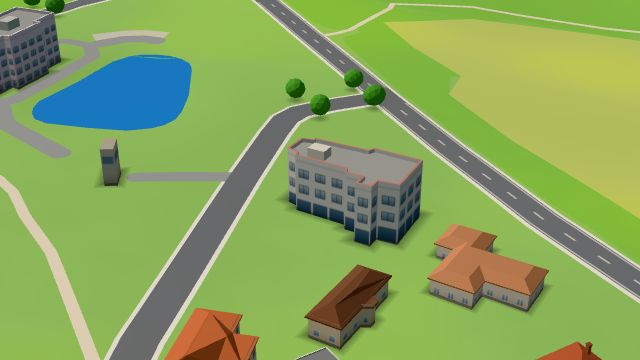 City model
 from OpenStreetMap and ČÚZK data, ODbL Restaurace Pyramida
Closed · opens at 11:00
-
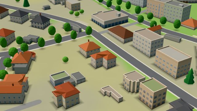 City model
 from OpenStreetMap and ČÚZK data, ODbL Rybí bašta U Kapličky
Closed · opens at 11:00
-
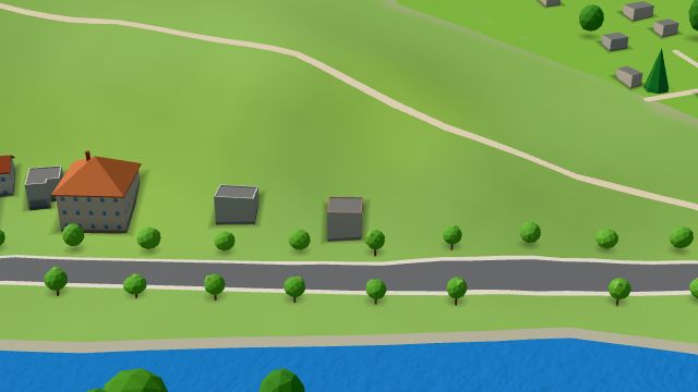 City model
 from OpenStreetMap and ČÚZK data, ODbL Občerstvení Pod Skalou
Closed · opens at 15:00
-
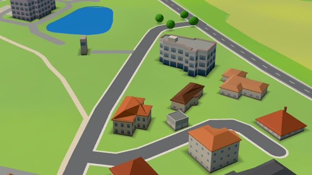 City model
 from OpenStreetMap and ČÚZK data, ODbL -
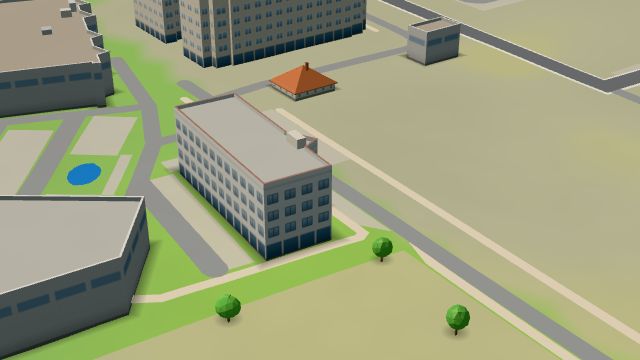 City model
 from OpenStreetMap and ČÚZK data, ODbL -
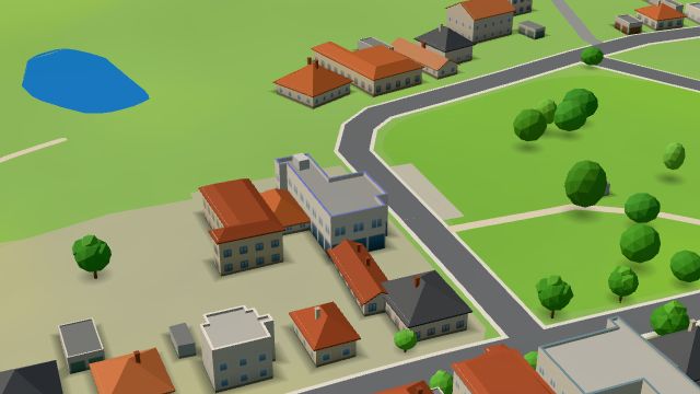 City model
 from OpenStreetMap and ČÚZK data, ODbL -
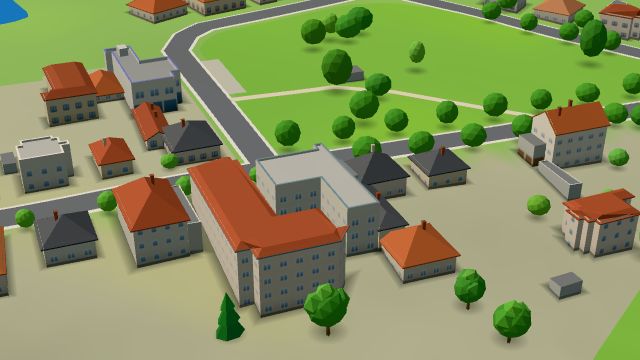 City model
 from OpenStreetMap and ČÚZK data, ODbL -
 City model
 from OpenStreetMap and ČÚZK data, ODbL -
 City model
 from OpenStreetMap and ČÚZK data, ODbL -
 City model
 from OpenStreetMap and ČÚZK data, ODbL -
 City model
 from OpenStreetMap and ČÚZK data, ODbL -
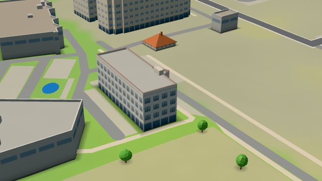 City model
 from OpenStreetMap and ČÚZK data, ODbL -
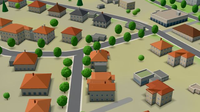 City model
 from OpenStreetMap and ČÚZK data, ODbL -
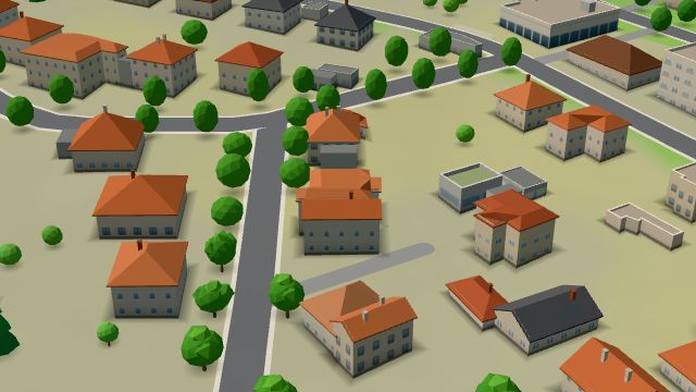 City model
 from OpenStreetMap and ČÚZK data, ODbL -
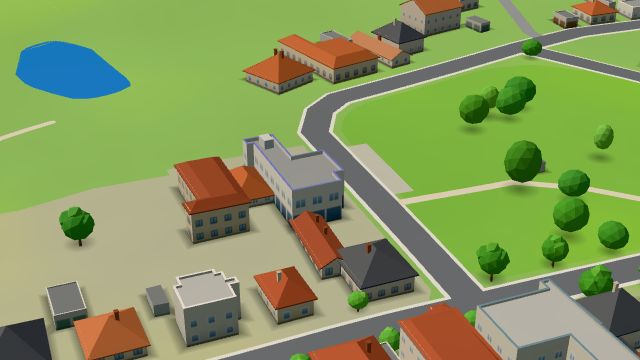 City model
 from OpenStreetMap and ČÚZK data, ODbL -
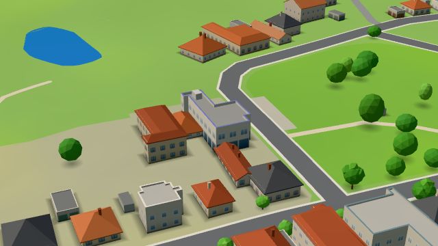 City model
 from OpenStreetMap and ČÚZK data, ODbL