


Dolní Hanychov
Businesses and places in Dolní Hanychov, Liberec: 26 places.
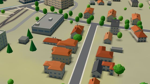
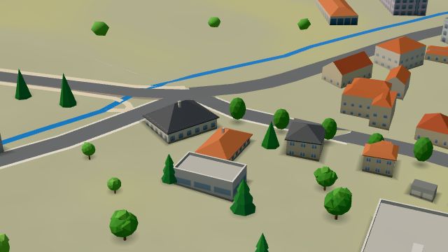
Dolní Hanychov is Liberec VIII, in the south-west of the city. First recorded in 1589, the village became a settlement of Horní Hanychov when manorial rule ended, was a municipality of its own from 1890 to 1939 and was merged into Greater Liberec on 1 May 1939. The tram line from Lidové sady to Horní Hanychov runs through it, with a turning loop. Its main sight is the church of St Boniface, built from 1915 to 1919 by Anton Möller of Varnsdorf between Art Nouveau and modernism, with a 33-metre tower and protected since 1994. Hotel Petra, Penzion Medovil and Hospoda U Dubu are here too.
Results
-
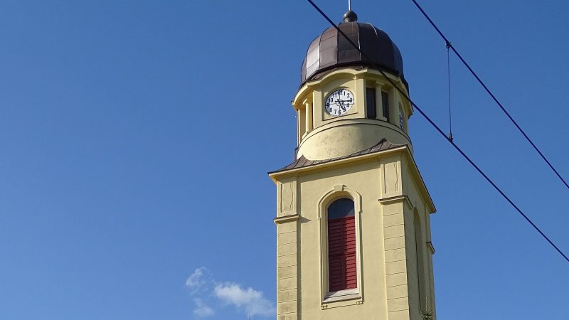
Photo: ŠJů, CC BY 4.0 -
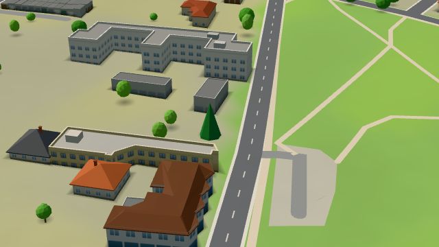 City model
 from OpenStreetMap and ČÚZK data, ODbL ASB Liberec
Open · closes at 22:00
-
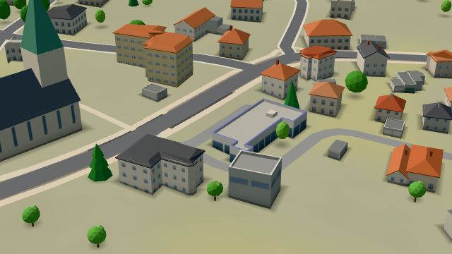 City model
 from OpenStreetMap and ČÚZK data, ODbL Alisy Sport
Closed · opens tomorrow at 9:00
-
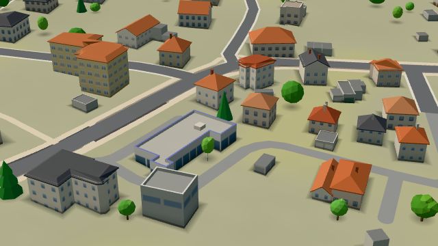 City model
 from OpenStreetMap and ČÚZK data, ODbL FUNSTORM
Closed · opens tomorrow at 9:00
-
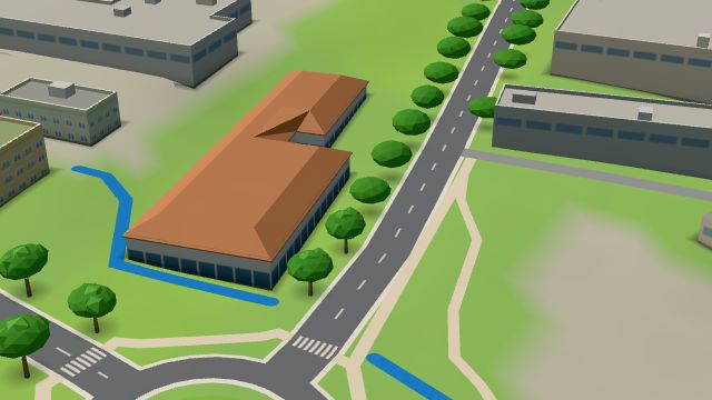 City model
 from OpenStreetMap and ČÚZK data, ODbL -
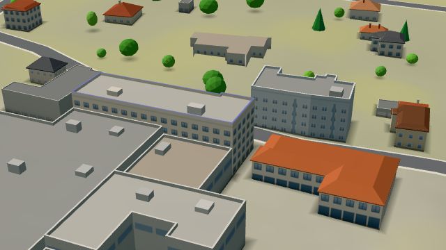 City model
 from OpenStreetMap and ČÚZK data, ODbL -
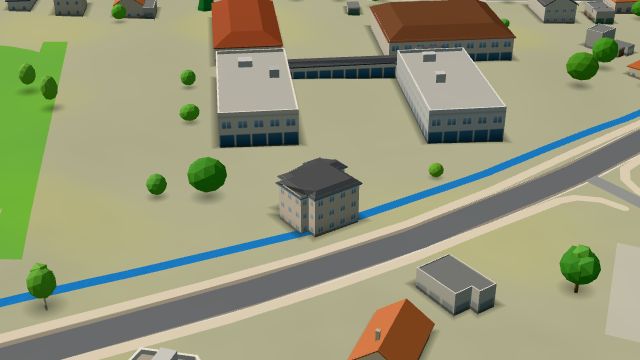 City model
 from OpenStreetMap and ČÚZK data, ODbL -
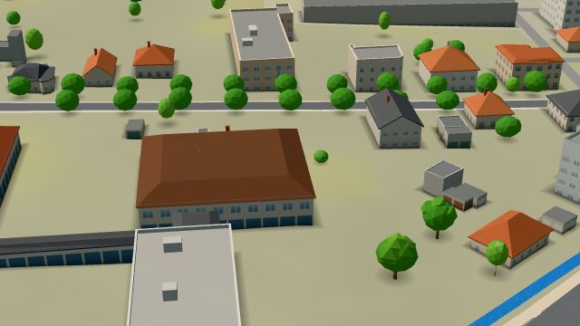 City model
 from OpenStreetMap and ČÚZK data, ODbL -
 City model
 from OpenStreetMap and ČÚZK data, ODbL -
 City model
 from OpenStreetMap and ČÚZK data, ODbL -
 City model
 from OpenStreetMap and ČÚZK data, ODbL -
 City model
 from OpenStreetMap and ČÚZK data, ODbL -
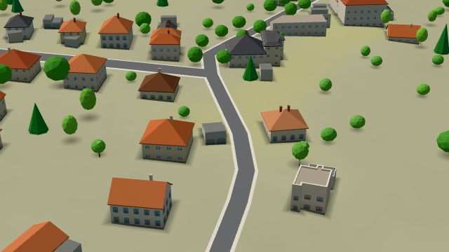 City model
 from OpenStreetMap and ČÚZK data, ODbL -
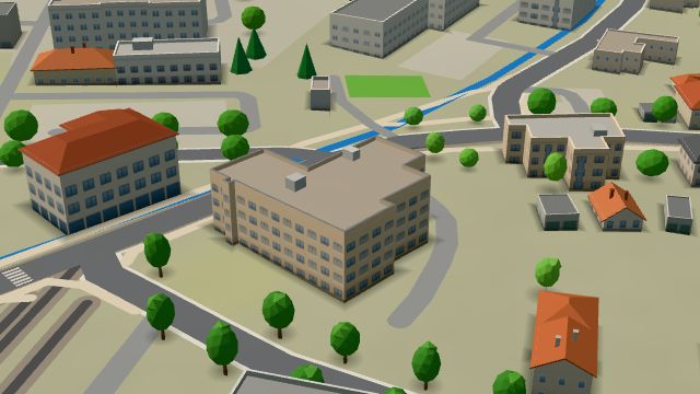 City model
 from OpenStreetMap and ČÚZK data, ODbL -
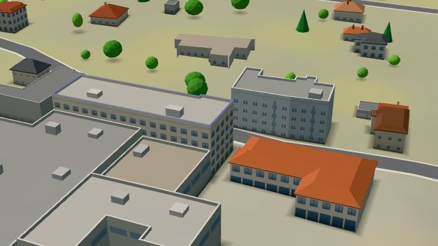 City model
 from OpenStreetMap and ČÚZK data, ODbL -
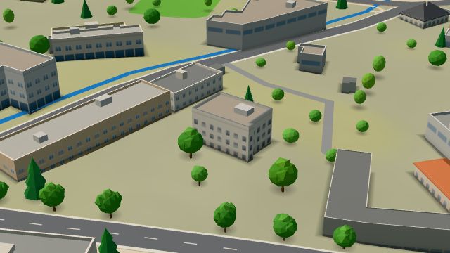 City model
 from OpenStreetMap and ČÚZK data, ODbL -
 City model
 from OpenStreetMap and ČÚZK data, ODbL -
 City model
 from OpenStreetMap and ČÚZK data, ODbL -
 City model
 from OpenStreetMap and ČÚZK data, ODbL -
 City model
 from OpenStreetMap and ČÚZK data, ODbL -
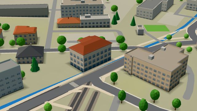 City model
 from OpenStreetMap and ČÚZK data, ODbL -
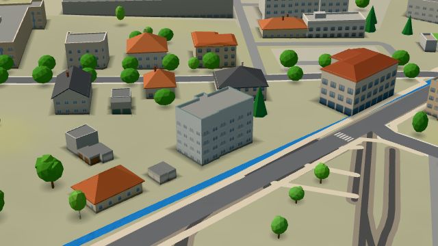 City model
 from OpenStreetMap and ČÚZK data, ODbL -
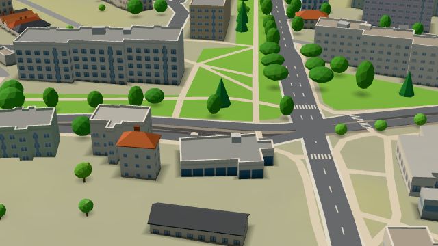 City model
 from OpenStreetMap and ČÚZK data, ODbL -
 City model
 from OpenStreetMap and ČÚZK data, ODbL
What is here
- Shops 7
- Services 4
- Restaurants 3
- Accommodation 3
- Health 2
- Schools 2
- Sport 2
- Bars and pubs 1
- Landmarks 1
- Wellness 1
- Doctors 2
- Car repair and tyres 2
- Clothes and fashion 2
- Beauty and nails 1
- Groceries and supermarkets 1
- Car dealers 1
- Primary schools 1
- Electronics and phones 1
- Fast food 1
- Petrol stations 1
- Churches 1
- Universities and colleges 1