


Horní Hanychov
Businesses and places in Horní Hanychov, Liberec: 29 places.
Horní Hanychov lies in the south-west of Liberec at the very foot of Ještěd, next to Dolní Hanychov, Pilínkov and Karlinky. First recorded in 1560, it joined Liberec in 1954, and trams have run here since 1912. For the 2009 Nordic World Ski Championships it gained new ski jumps and lifts in the Ještěd ski resort. On the summit stands Hotel Ještěd, Karel Hubáček's hotel and TV transmitter built from 1966 to 1973 and a national cultural monument since 2006, and the Výpřež pass separates Ještěd from Černá hora.
Results
-

Photo: O. Mejsnar, CC BY-SA 3.0 -
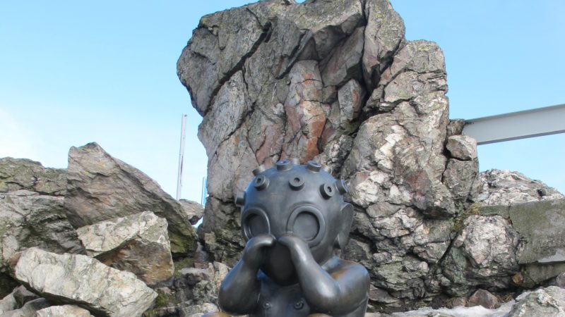
Photo: Hadonos, CC BY-SA 3.0 -
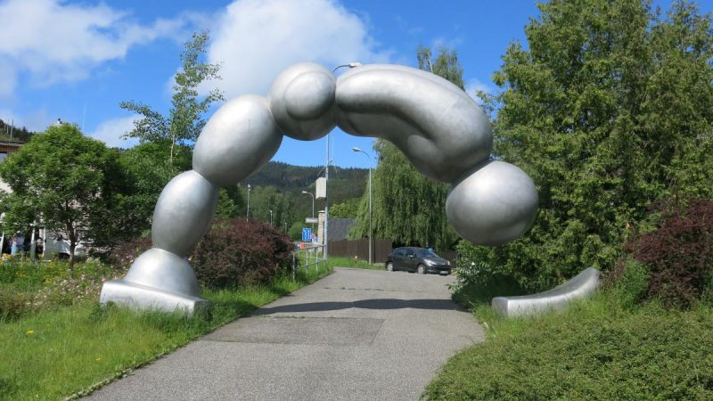
Photo: Barocco, CC0 -
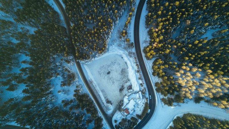
Photo: Jaromír Kavan jerrykavan, CC0 -
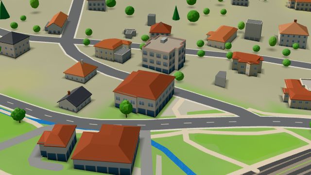 City model
 from OpenStreetMap and ČÚZK data, ODbL Hospoda Domov
Closed
-
 City model
 from OpenStreetMap and ČÚZK data, ODbL -
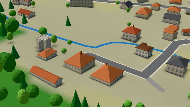 City model
 from OpenStreetMap and ČÚZK data, ODbL -
 City model
 from OpenStreetMap and ČÚZK data, ODbL Bufet
Closed · opens tomorrow at 9:00
-
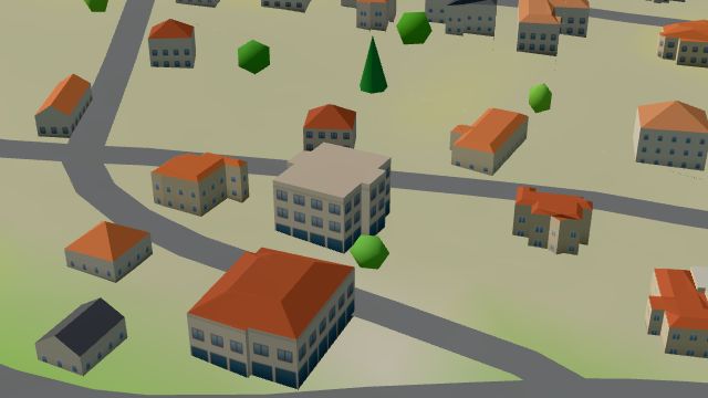 City model
 from OpenStreetMap and ČÚZK data, ODbL -
 City model
 from OpenStreetMap and ČÚZK data, ODbL -
 City model
 from OpenStreetMap and ČÚZK data, ODbL -
 City model
 from OpenStreetMap and ČÚZK data, ODbL -
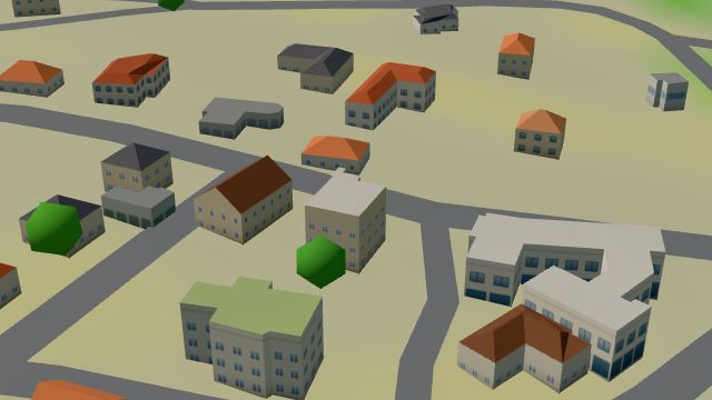 City model
 from OpenStreetMap and ČÚZK data, ODbL -
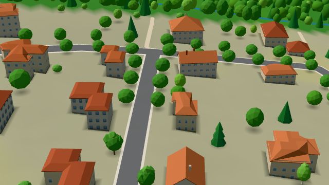 City model
 from OpenStreetMap and ČÚZK data, ODbL -
 City model
 from OpenStreetMap and ČÚZK data, ODbL -
 City model
 from OpenStreetMap and ČÚZK data, ODbL -
 City model
 from OpenStreetMap and ČÚZK data, ODbL -
 City model
 from OpenStreetMap and ČÚZK data, ODbL -
 City model
 from OpenStreetMap and ČÚZK data, ODbL -
 City model
 from OpenStreetMap and ČÚZK data, ODbL -
 City model
 from OpenStreetMap and ČÚZK data, ODbL -
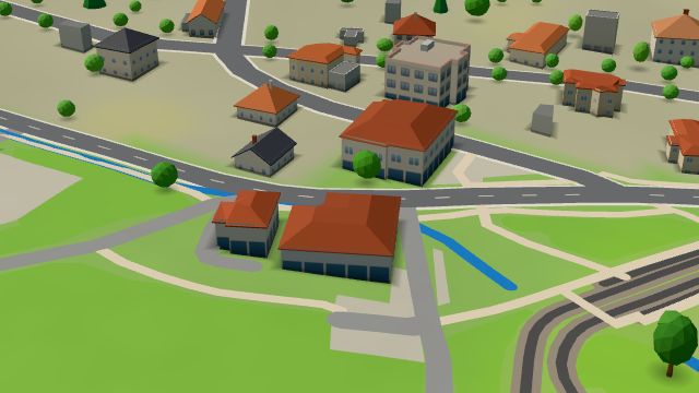 City model
 from OpenStreetMap and ČÚZK data, ODbL -
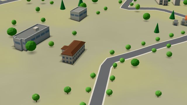 City model
 from OpenStreetMap and ČÚZK data, ODbL -
 City model
 from OpenStreetMap and ČÚZK data, ODbL