


Jeřáb
Businesses and places in Jeřáb, Liberec: 41 places.
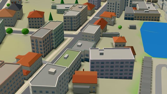
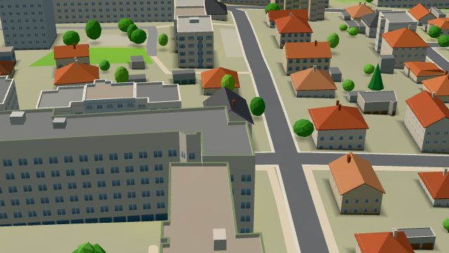
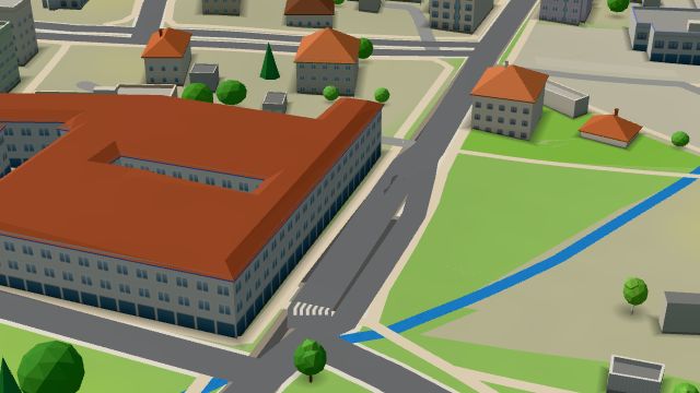
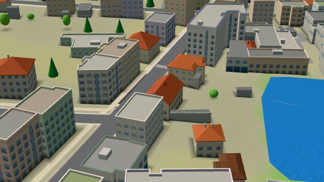
Jeřáb is Liberec III. On Soukenné náměstí stands Palác Nisa, a neoclassical insurance company building designed by Fritz Lehmann and built in 1936 and 1937, in its day the tallest residential building in Liberec. The iQLANDIA science centre, with a planetarium, opened in March 2014 in the former Desta forklift truck factory; its forerunner iQPARK, the first science centre in the country, is in the building next door in the Centrum Babylon complex. The church of St Mary Magdalene stands on Jungmannova street on the border with Nové Město, and the part also has the Kousek Piva brewery, the Velký Liberec bar and the Lékárna U Pekáren pharmacy.
Results
-
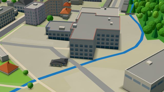 City model
 from OpenStreetMap and ČÚZK data, ODbL Beer warehouse restaurant
Open · closes at 23:00
-
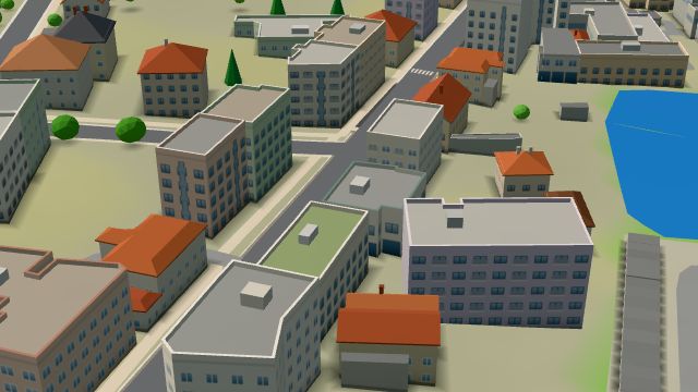 City model
 from OpenStreetMap and ČÚZK data, ODbL Lékárna U Pekáren
Closed · opens tomorrow at 7:30
-
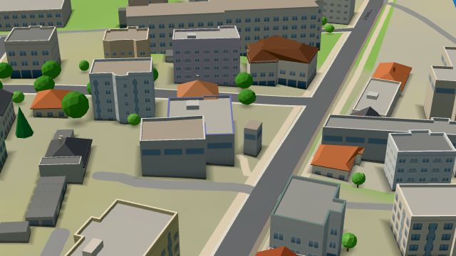 City model
 from OpenStreetMap and ČÚZK data, ODbL Sport Brzák
Closed · opens tomorrow at 9:00
-
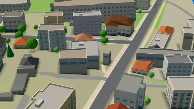 City model
 from OpenStreetMap and ČÚZK data, ODbL Sport Brzák
Closed · opens tomorrow at 9:00
-
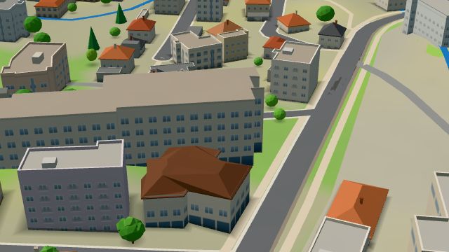 City model
 from OpenStreetMap and ČÚZK data, ODbL expres nápoje
Closed · opens tomorrow at 9:00
-
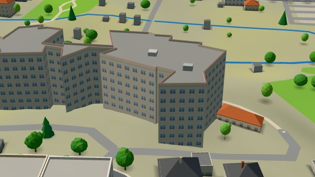 City model
 from OpenStreetMap and ČÚZK data, ODbL -
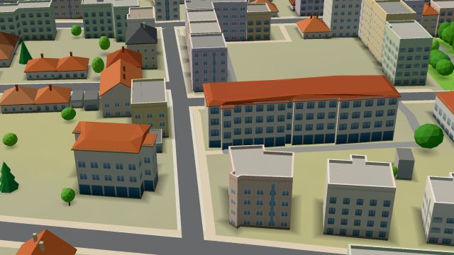 City model
 from OpenStreetMap and ČÚZK data, ODbL Gastron
Closed · opens tomorrow at 11:00
-
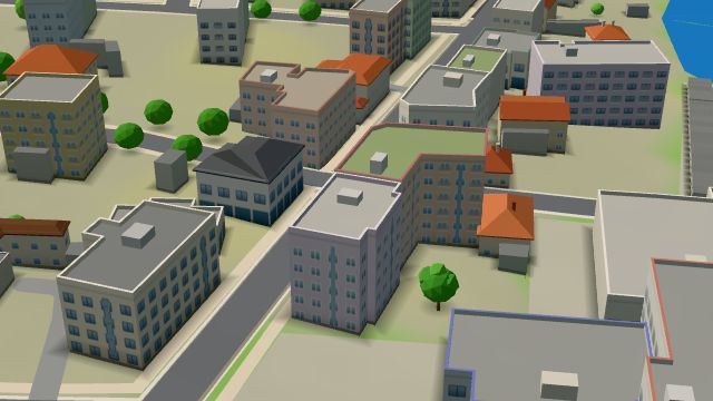 City model
 from OpenStreetMap and ČÚZK data, ODbL -
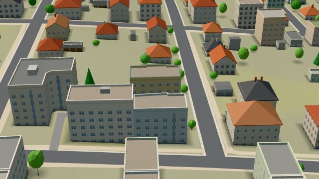 City model
 from OpenStreetMap and ČÚZK data, ODbL -
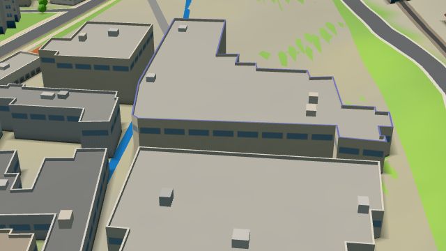 City model
 from OpenStreetMap and ČÚZK data, ODbL -
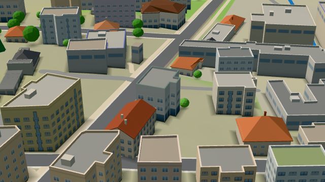 City model
 from OpenStreetMap and ČÚZK data, ODbL -
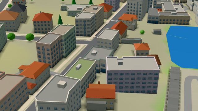 City model
 from OpenStreetMap and ČÚZK data, ODbL -
 City model
 from OpenStreetMap and ČÚZK data, ODbL -
 City model
 from OpenStreetMap and ČÚZK data, ODbL -
 City model
 from OpenStreetMap and ČÚZK data, ODbL -
 City model
 from OpenStreetMap and ČÚZK data, ODbL -
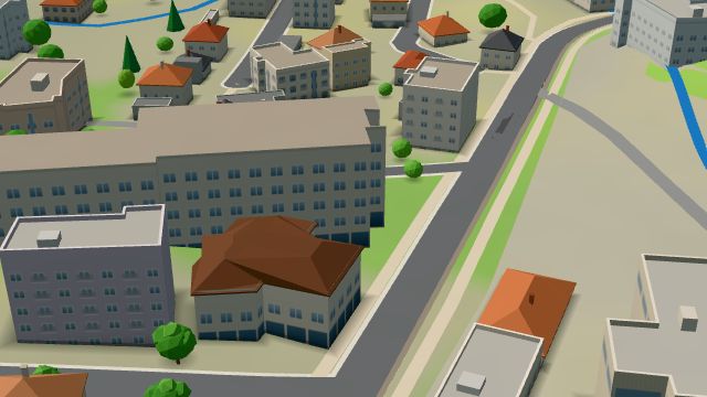 City model
 from OpenStreetMap and ČÚZK data, ODbL -
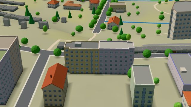 City model
 from OpenStreetMap and ČÚZK data, ODbL -
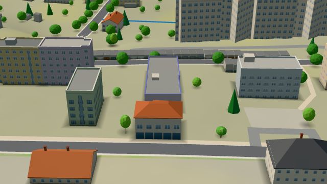 City model
 from OpenStreetMap and ČÚZK data, ODbL -
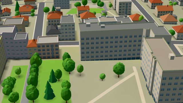 City model
 from OpenStreetMap and ČÚZK data, ODbL -
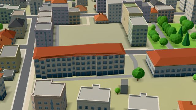 City model
 from OpenStreetMap and ČÚZK data, ODbL -
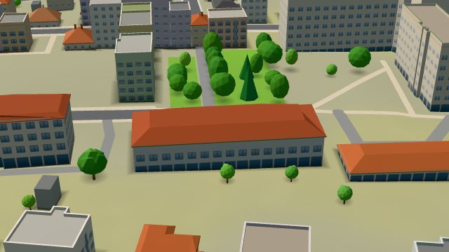 City model
 from OpenStreetMap and ČÚZK data, ODbL -
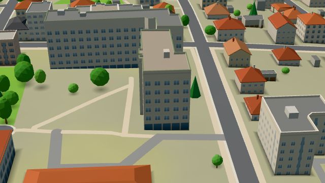 City model
 from OpenStreetMap and ČÚZK data, ODbL -
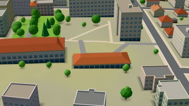 City model
 from OpenStreetMap and ČÚZK data, ODbL
What is here
- Shops 13
- Health 13
- Schools 6
- Restaurants 2
- Bars and pubs 2
- Accommodation 2
- Cafés 1
- Sport 1
- Wellness 1
- Doctors 9
- Secondary schools 5
- Dentists 3
- Bakeries 3
- Wine and drinks 3
- Breweries 2
- Beauty and nails 1
- Groceries and supermarkets 1
- Clothes and fashion 1
- Nursery schools 1
- Primary schools 1
- Electronics and phones 1
- Fast food 1
- Gifts and souvenirs 1
- Pharmacies 1
- Bikes 1