


Kristiánov
Businesses and places in Kristiánov, Liberec: 58 places.
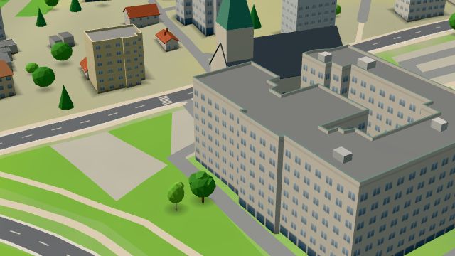
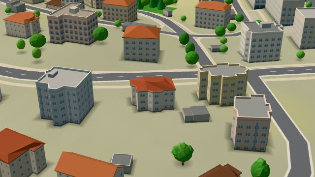
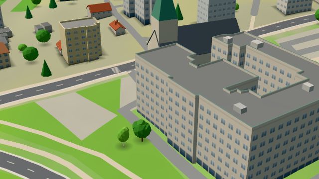
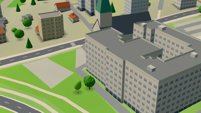
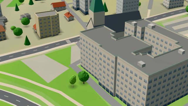
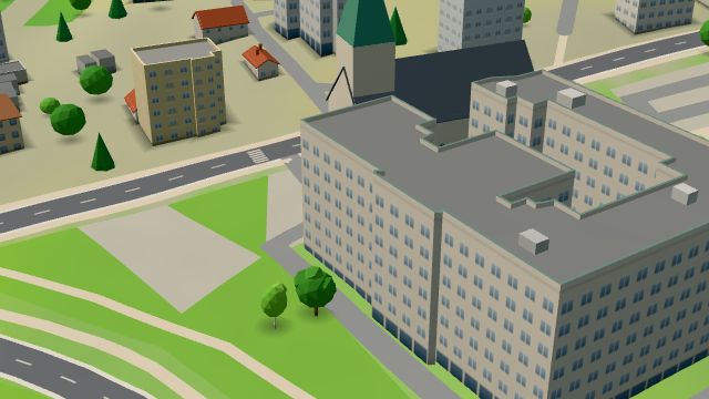
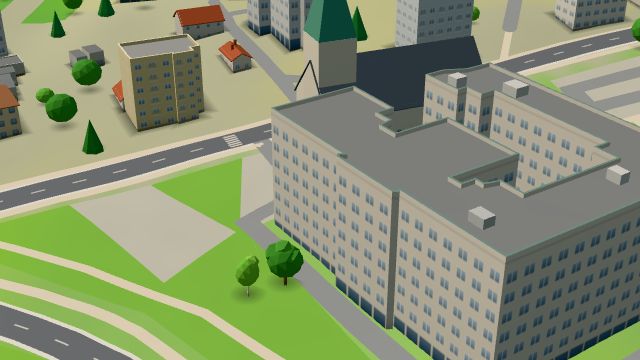
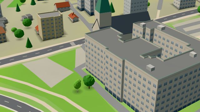
Kristiánov is Liberec V, in the east of the city at the foot of the Jizera Mountains in the valley of the Harcovský potok, and is named after Christian Philipp Clam-Gallas, lord of the estate. The Harcov reservoir is here, and near it on Jablonecká street stands the villa of Theodor Liebieg the Younger, built from 1897 to 1911 for the family of textile barons and protected since 1987. The neo-Gothic church of the Sacred Heart was built in 1896 with the Ursuline convent and has been used by the Orthodox Church since 1995. The regional public health office is in the Stross villa of 1923 to 1925, whose rounded lines recall a ship.
Results
-
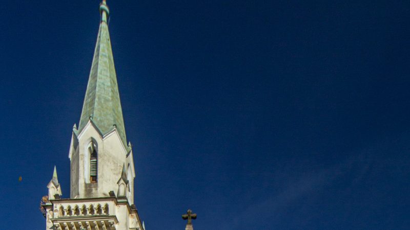
Photo: VitVit, CC BY-SA 4.0 -
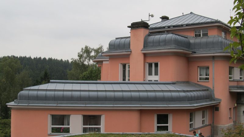
Photo: Hana Kubíková, CC BY-SA 3.0 -
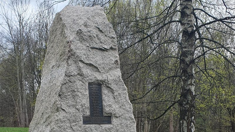
Photo: Anny32, CC BY-SA 3.0 -
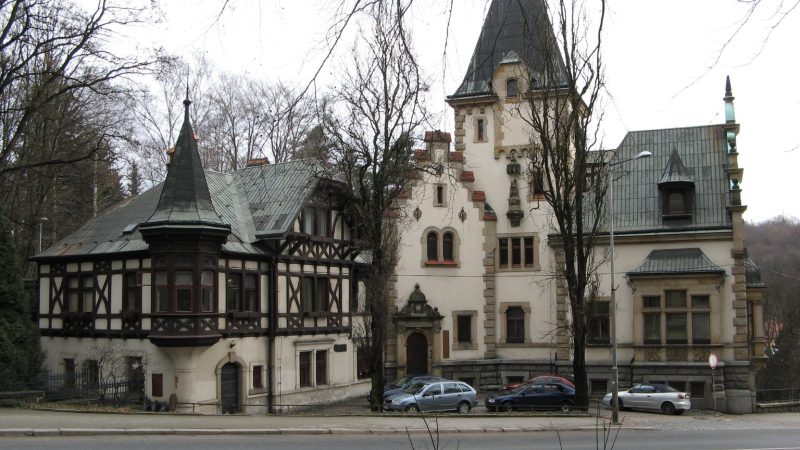
Photo: Rawac, CC BY-SA 3.0 -
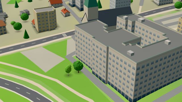 City model
 from OpenStreetMap and ČÚZK data, ODbL EUC
Closed · opens tomorrow at 7:00
-
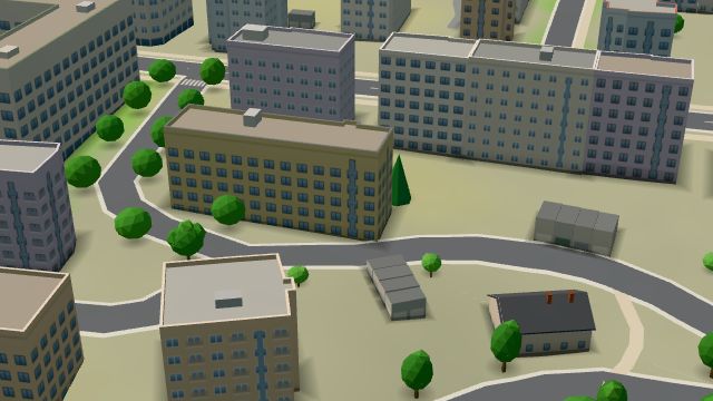 City model
 from OpenStreetMap and ČÚZK data, ODbL Haaro Naturo
Closed · opens tomorrow at 8:30
-
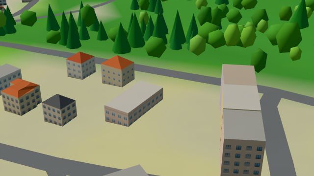 City model
 from OpenStreetMap and ČÚZK data, ODbL -
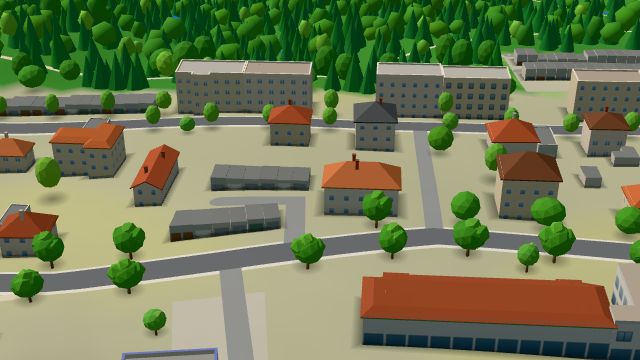 City model
 from OpenStreetMap and ČÚZK data, ODbL -
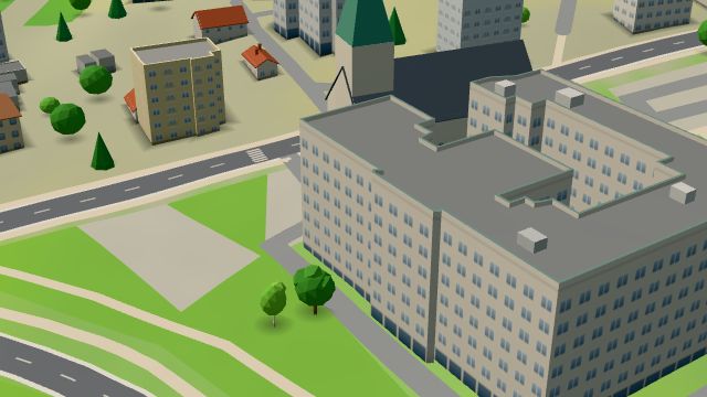 City model
 from OpenStreetMap and ČÚZK data, ODbL -
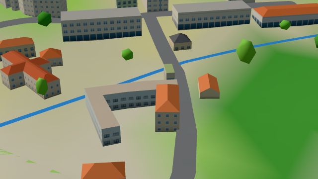 City model
 from OpenStreetMap and ČÚZK data, ODbL -
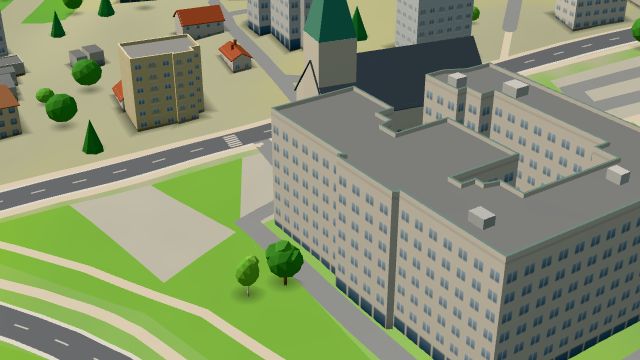 City model
 from OpenStreetMap and ČÚZK data, ODbL -
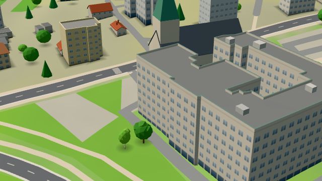 City model
 from OpenStreetMap and ČÚZK data, ODbL -
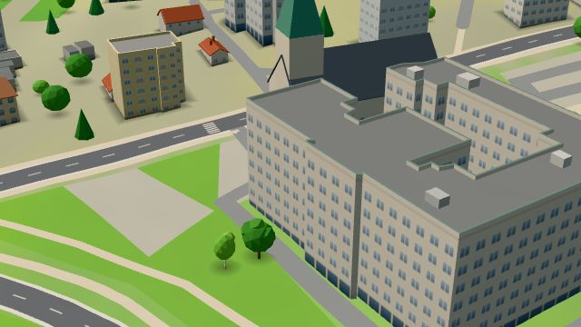 City model
 from OpenStreetMap and ČÚZK data, ODbL -
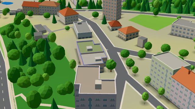 City model
 from OpenStreetMap and ČÚZK data, ODbL -
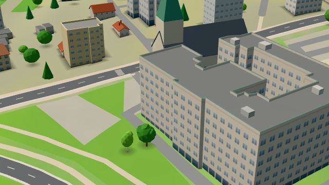 City model
 from OpenStreetMap and ČÚZK data, ODbL -
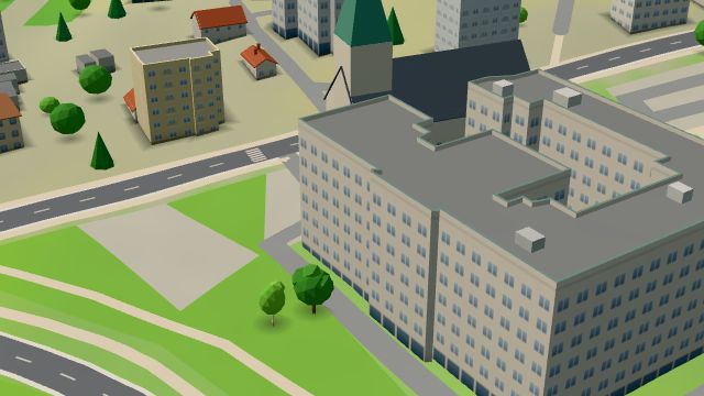 City model
 from OpenStreetMap and ČÚZK data, ODbL -
 City model
 from OpenStreetMap and ČÚZK data, ODbL -
 City model
 from OpenStreetMap and ČÚZK data, ODbL -
 City model
 from OpenStreetMap and ČÚZK data, ODbL -
 City model
 from OpenStreetMap and ČÚZK data, ODbL -
 City model
 from OpenStreetMap and ČÚZK data, ODbL -
 City model
 from OpenStreetMap and ČÚZK data, ODbL -
 City model
 from OpenStreetMap and ČÚZK data, ODbL -
 City model
 from OpenStreetMap and ČÚZK data, ODbL
What is here
- Health 32
- Schools 9
- Shops 6
- Landmarks 5
- Bars and pubs 2
- Services 2
- Restaurants 1
- Accommodation 1
- Doctors 27
- Nursery schools 5
- Psychologists and therapists 3
- Groceries and supermarkets 2
- Primary schools 2
- Secondary schools 2
- Car repair and tyres 1
- Clothes and fashion 1
- Dentists 1
- Car dealers 1
- Electronics and phones 1
- Hairdressers and barbers 1
- Pharmacies 1
- Churches 1