


Starý Harcov
Businesses and places in Starý Harcov, Liberec: 79 places.
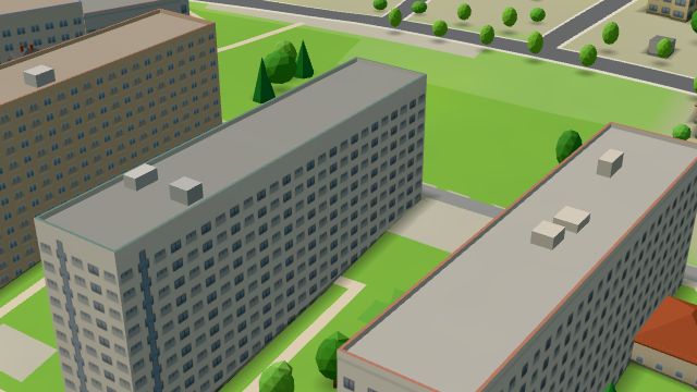
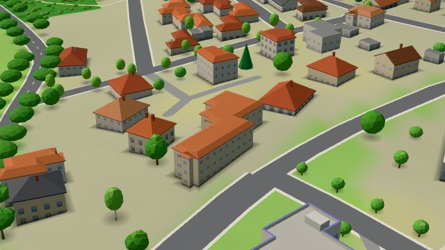
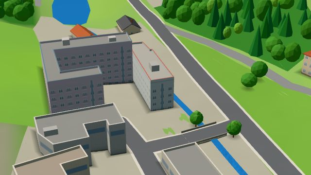
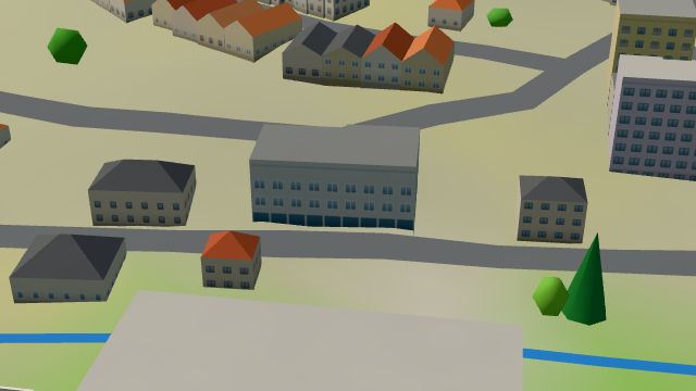
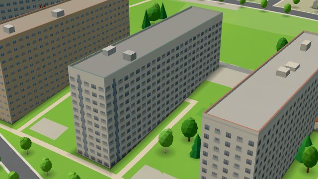
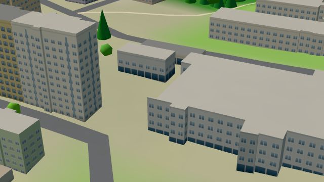
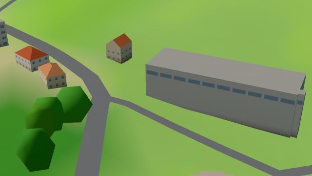
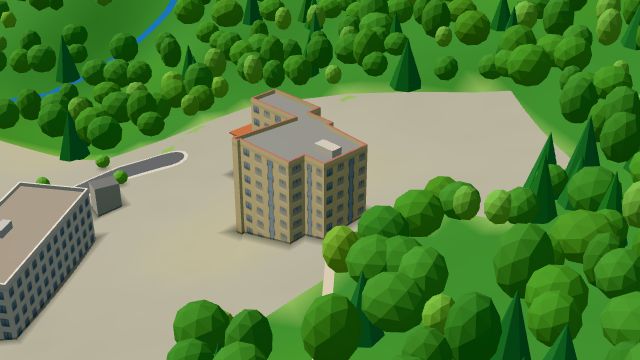
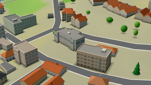
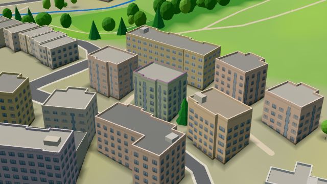
Starý Harcov lies in the east of Liberec, and its cadastral area also takes in Nový Harcov, which belonged to the village from 1850 to 1939. First recorded in 1522 in the Frýdlant town book, it was joined to Liberec on 1 May 1939, under the German occupation. It has the Kunratická housing estate, built from 1981 to 1985 and one of the largest in Liberec, and the Technical University's halls of residence, begun in the 1970s to a design by Pavel Švancer. Liberecká výšina rises on the edge of the city, its lookout tower built in 1900 and 1901 for the industrialist Heinrich Liebieg, and the church of the Visitation was consecrated in 1860.
Results
-
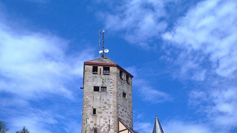
Photo: 9999NUKO, CC BY-SA 4.0 -
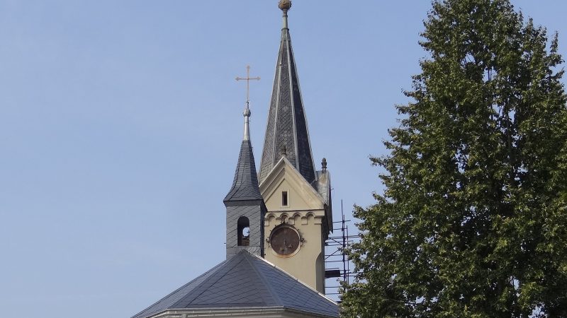
Photo: MartinVeselka, CC BY-SA 4.0 -
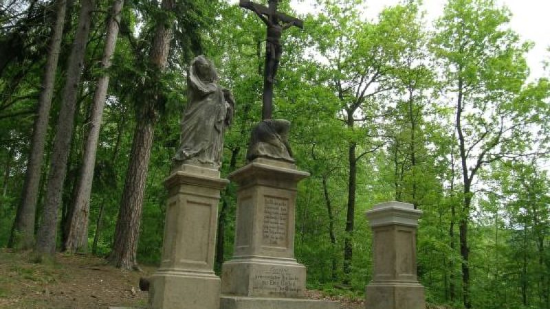
Photo: Hana Kubíková, CC BY-SA 4.0 -
 City model
 from OpenStreetMap and ČÚZK data, ODbL Between Bar
Open · closes at 2:00
-
 City model
 from OpenStreetMap and ČÚZK data, ODbL Fitness Life Liberec
Closed · opens tomorrow at 7:00
-
 City model
 from OpenStreetMap and ČÚZK data, ODbL Cycology
Closed · opens tomorrow at 11:00
-
 City model
 from OpenStreetMap and ČÚZK data, ODbL Goodness
Open · closes at 23:00
-
 City model
 from OpenStreetMap and ČÚZK data, ODbL Hroch
Open · closes at 1:00
-
 City model
 from OpenStreetMap and ČÚZK data, ODbL U Poláků
Closed · opens tomorrow at 11:00
-
 City model
 from OpenStreetMap and ČÚZK data, ODbL fabrica
Open · closes at 22:00
-
 City model
 from OpenStreetMap and ČÚZK data, ODbL -
 City model
 from OpenStreetMap and ČÚZK data, ODbL -
 City model
 from OpenStreetMap and ČÚZK data, ODbL -
 City model
 from OpenStreetMap and ČÚZK data, ODbL -
 City model
 from OpenStreetMap and ČÚZK data, ODbL -
 City model
 from OpenStreetMap and ČÚZK data, ODbL -
 City model
 from OpenStreetMap and ČÚZK data, ODbL -
 City model
 from OpenStreetMap and ČÚZK data, ODbL -
 City model
 from OpenStreetMap and ČÚZK data, ODbL -
 City model
 from OpenStreetMap and ČÚZK data, ODbL -
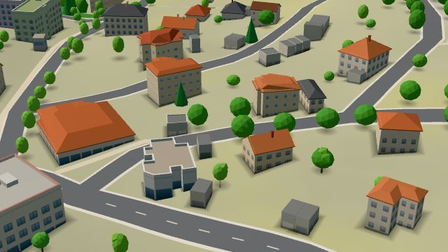 City model
 from OpenStreetMap and ČÚZK data, ODbL -
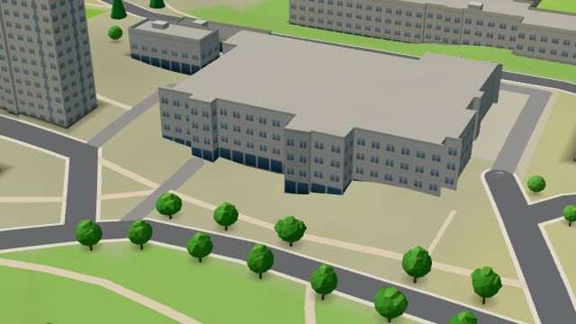 City model
 from OpenStreetMap and ČÚZK data, ODbL -
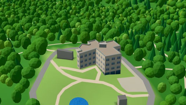 City model
 from OpenStreetMap and ČÚZK data, ODbL -
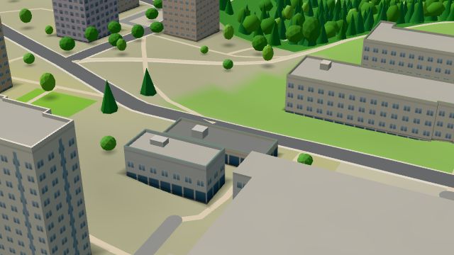 City model
 from OpenStreetMap and ČÚZK data, ODbL
What is here
- Health 17
- Restaurants 11
- Shops 9
- Sport 9
- Bars and pubs 8
- Services 8
- Schools 6
- Accommodation 4
- Landmarks 3
- Wellness 2
- Culture 1
- Parks and nature 1
- Doctors 9
- Groceries and supermarkets 4
- Dentists 4
- Car repair and tyres 3
- Nursery schools 3
- Gyms 3
- Physiotherapy 3
- Beauty and nails 2
- Primary schools 2
- Gifts and souvenirs 1
- Hairdressers and barbers 1
- Travel agencies 1
- Hardware and DIY 1
- Churches 1
- Hospitals and clinics 1
- Flowers 1
- Museums and galleries 1
- Jewellery and watches 1
- Bikes 1
- Universities and colleges 1
- Vets 1
- Driving schools 1
- Dance 1