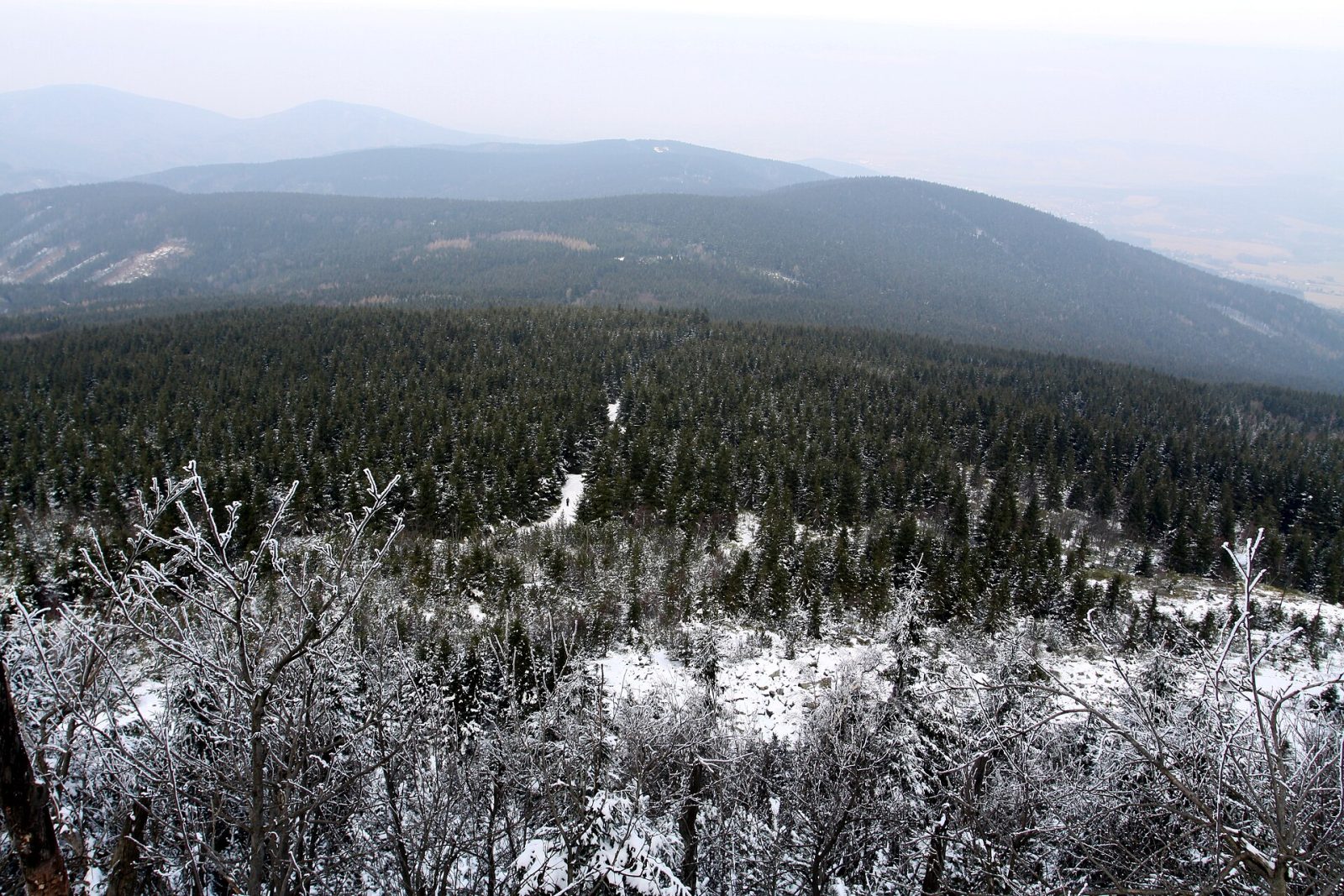
Černá hora
About this place
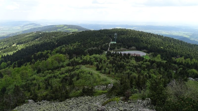
A mountain over 810 metres high about 2 km south-west of Horní Suchá, the highest point of the Kryštofovy hřbety ridges and part of the Ještěd nature park.
It has two summits 300 metres apart, separated by a saddle about 15 metres deep, and maps disagree on which of them is the highest point. A green-marked trail from Výpřež to Machnín station crosses both summits.
Details
So far we only know where this place is.
Is this your business? Claim it for free and keep the details, opening hours, photos and offers up to date yourself.
Know more? Add details or report a mistake
Facts from OpenStreetMap (18 November 2026), not yet verified by the owner or by Mestanova. Open in OpenStreetMap · ODbL-1.0
Where it is
Horní Suchá, Liberec