


Černovír a Klášterní Hradisko
Businesses and places in Černovír a Klášterní Hradisko, Olomouc: 36 places.
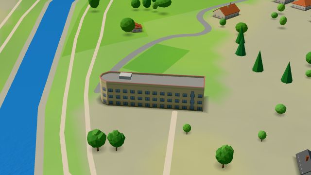
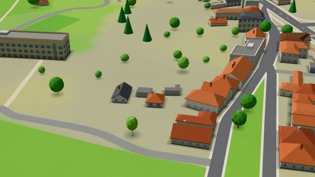
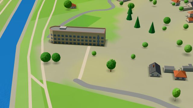
Černovír a Klášterní Hradisko lies north of the centre of Olomouc. On a low rocky hill on the left bank of the Morava, across from Olomouc Castle, stands the Hradisko monastery, founded for Benedictines in 1077 by Otto I of Olomouc and held by the Premonstratensians from the mid-12th century. It took its Baroque form around 1700, was dissolved in 1784, has been a military hospital since 1802 and is a national cultural monument; its church of St Stephen remained in church hands. At the Lazecká střelnice range, 21 arrested members of the Přerov uprising were shot on 2 May 1945, as a memorial recalls, and Fort XXII and the military cemetery are here too.
Results
-
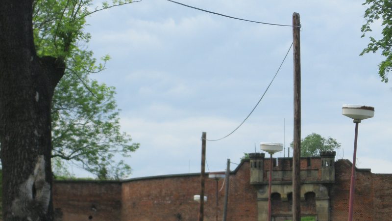
Photo: Lehotsky, CC BY-SA 3.0 -
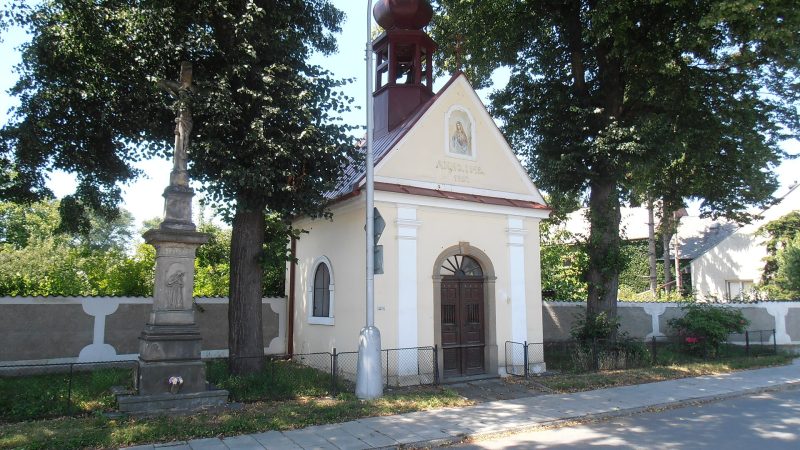
Photo: Senimo, Public domain -
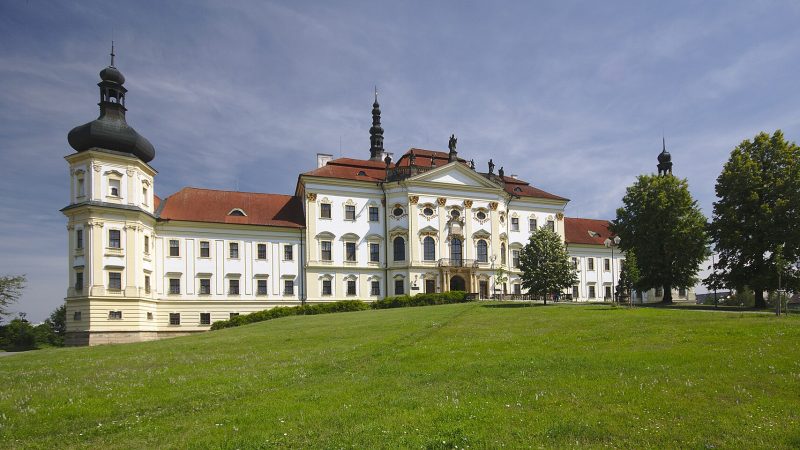
Photo: Jiří Komárek, CC BY-SA 4.0 -
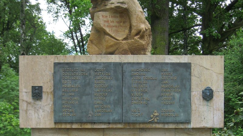
Photo: Lehotsky, CC BY-SA 3.0 -
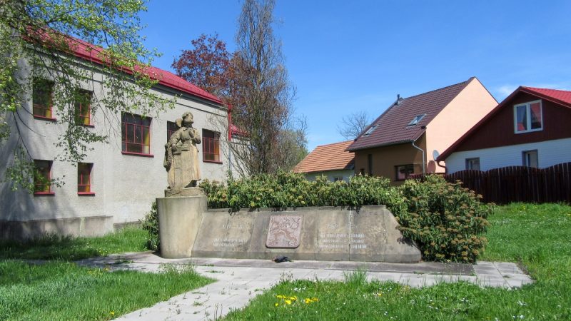
Photo: Pavlína Koncošová, CC0 -
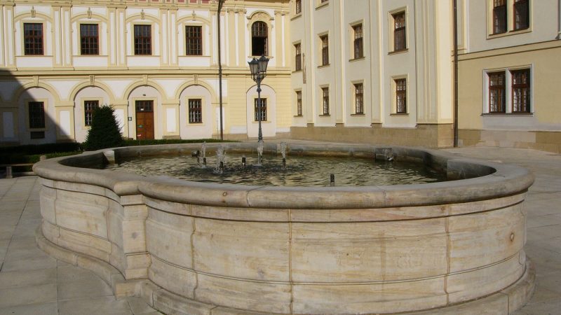
Photo: Michal Maňas, CC BY 4.0 -
 City model
 from OpenStreetMap and ČÚZK data, ODbL Lazecká střelnice
Closed · opens tomorrow at 9:00
-
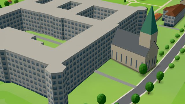 City model
 from OpenStreetMap and ČÚZK data, ODbL Lékárna Vojenské nemocnice
Closed · opens tomorrow at 7:30
-
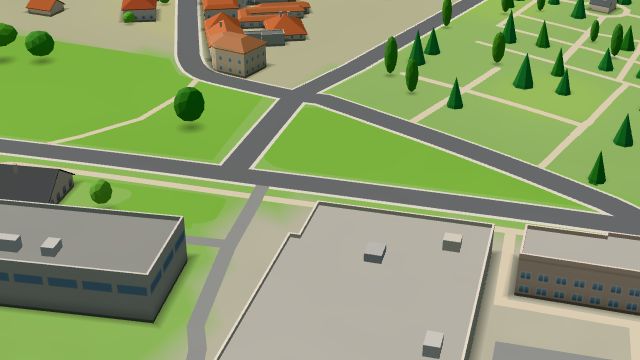 City model
 from OpenStreetMap and ČÚZK data, ODbL -
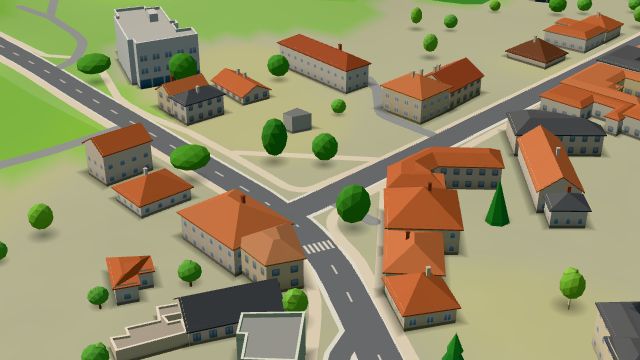 City model
 from OpenStreetMap and ČÚZK data, ODbL -
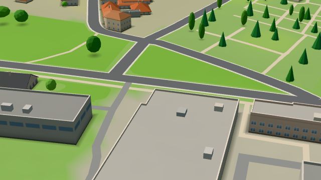 City model
 from OpenStreetMap and ČÚZK data, ODbL -
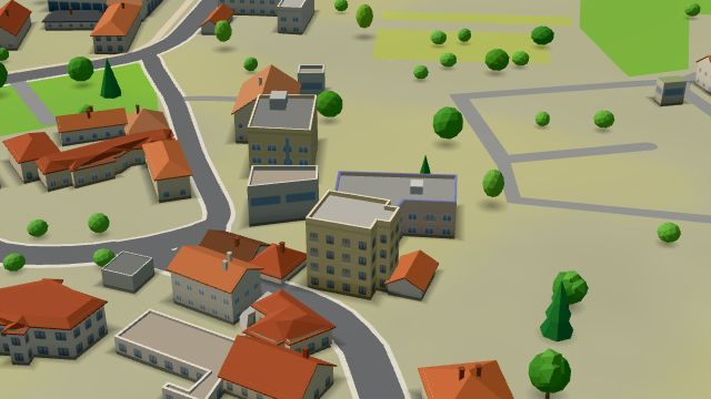 City model
 from OpenStreetMap and ČÚZK data, ODbL -
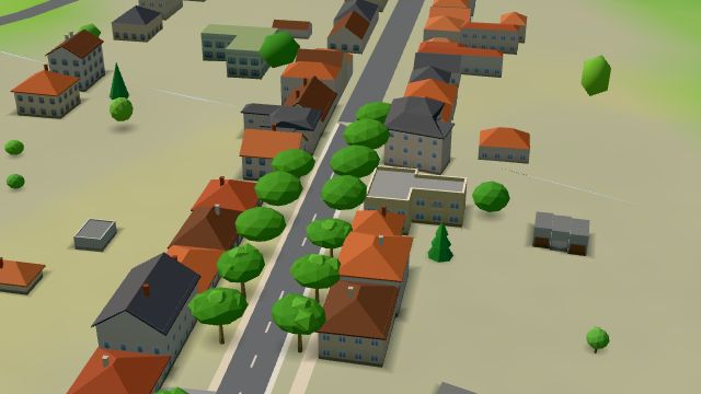 City model
 from OpenStreetMap and ČÚZK data, ODbL -
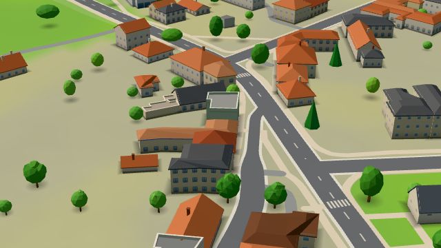 City model
 from OpenStreetMap and ČÚZK data, ODbL Potraviny Katka
Closed · opens tomorrow at 7:00
-
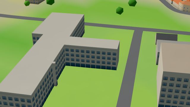 City model
 from OpenStreetMap and ČÚZK data, ODbL -
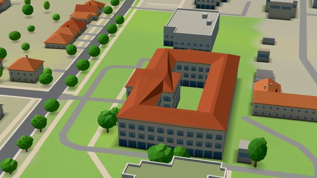 City model
 from OpenStreetMap and ČÚZK data, ODbL -
 City model
 from OpenStreetMap and ČÚZK data, ODbL -
 City model
 from OpenStreetMap and ČÚZK data, ODbL -
 City model
 from OpenStreetMap and ČÚZK data, ODbL -
 City model
 from OpenStreetMap and ČÚZK data, ODbL -
 City model
 from OpenStreetMap and ČÚZK data, ODbL -
 City model
 from OpenStreetMap and ČÚZK data, ODbL -
 City model
 from OpenStreetMap and ČÚZK data, ODbL -
 City model
 from OpenStreetMap and ČÚZK data, ODbL
What is here
- Landmarks 13
- Schools 6
- Shops 4
- Sport 4
- Restaurants 3
- Health 2
- Culture 1
- Parks and nature 1
- Services 1
- Wellness 1
- Secondary schools 4
- Churches 3
- Nursery schools 2
- Beauty and nails 1
- Groceries and supermarkets 1
- Fast food 1
- Gyms 1
- Car repair and tyres 1
- Primary schools 1
- Car dealers 1
- Pharmacies 1
- Gifts and souvenirs 1
- Tobacconists 1
- Psychologists and therapists 1