


Chomoutov
Businesses and places in Chomoutov, Olomouc: 21 places.
Chomoutov lies about five kilometres north of the centre of Olomouc and is named after the people of a man called Chomút. First recorded in 1078 as a property of the Hradisko monastery, it was then mostly floodplain forest, and the monks laid out three fishponds here in the 16th century. It has been part of Olomouc since 1 July 1975. It is best known for Chomoutovské jezero, a lake left by sand digging and a nature reserve since 1973, with a bird hide and a statue of a guardian angel on its shore; the Chomoutovský dub, an oak also protected since 1973, grows on the northern edge, and the village has the Chomout brewery and Koperník park.
Results
-
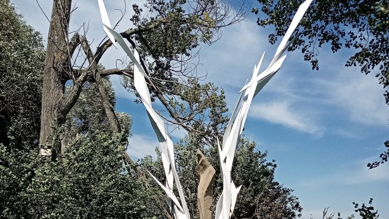
Photo: Helena Krejčí, CC BY-SA 4.0 -
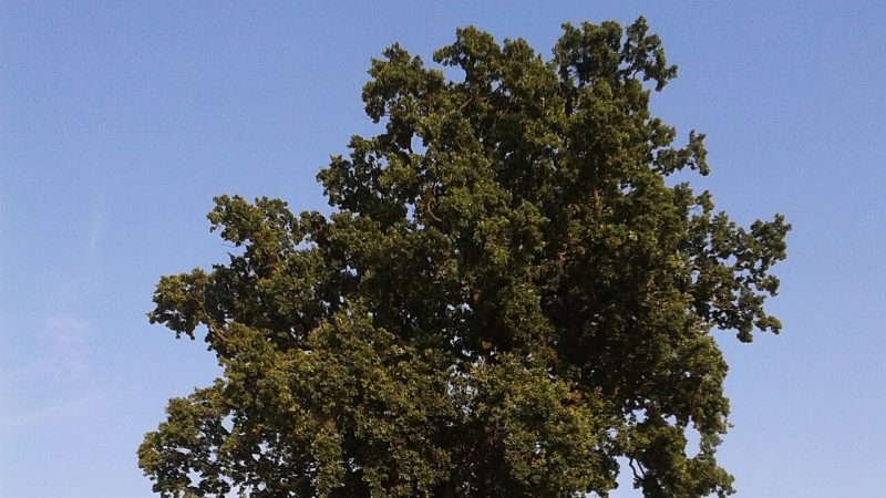
Photo: Jakub olo, CC BY-SA 4.0 -
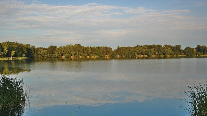
Photo: Jiří Komárek, CC BY-SA 4.0 -
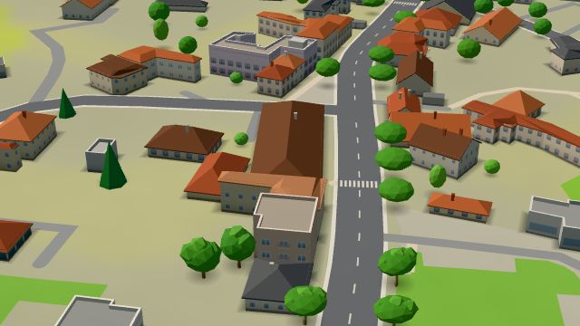 City model
 from OpenStreetMap and ČÚZK data, ODbL -
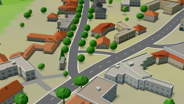 City model
 from OpenStreetMap and ČÚZK data, ODbL -
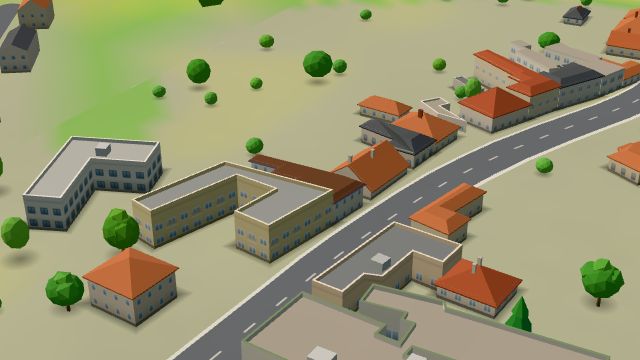 City model
 from OpenStreetMap and ČÚZK data, ODbL -
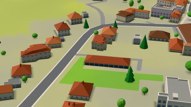 City model
 from OpenStreetMap and ČÚZK data, ODbL -
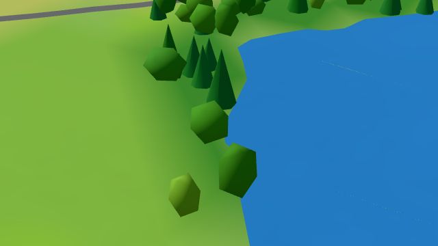 City model
 from OpenStreetMap and ČÚZK data, ODbL Ornitologická pozorovatelna
Open 24 hours
-
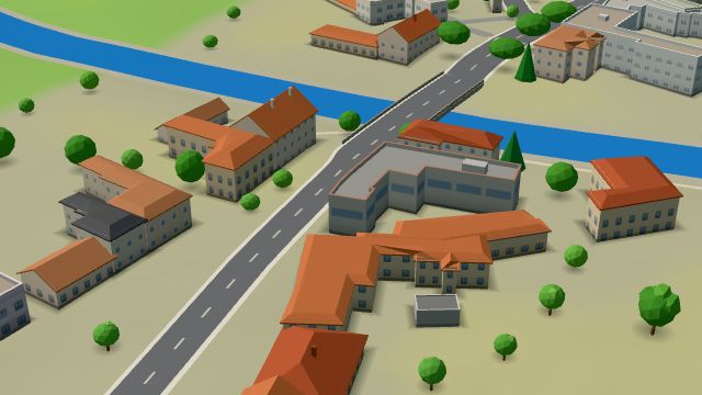 City model
 from OpenStreetMap and ČÚZK data, ODbL -
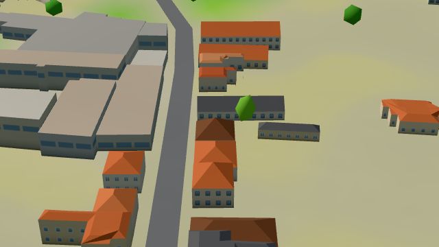 City model
 from OpenStreetMap and ČÚZK data, ODbL -
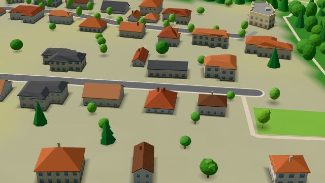 City model
 from OpenStreetMap and ČÚZK data, ODbL -
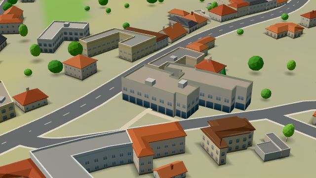 City model
 from OpenStreetMap and ČÚZK data, ODbL -
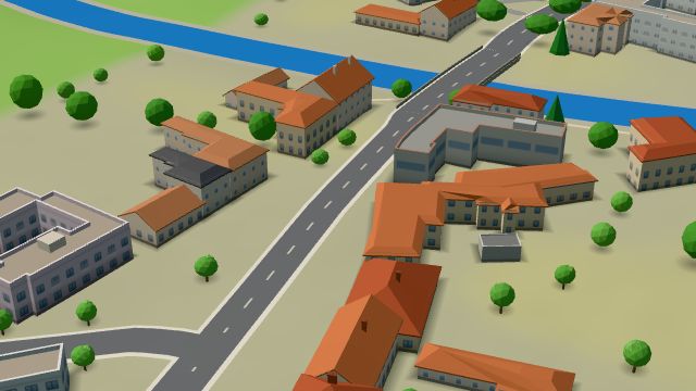 City model
 from OpenStreetMap and ČÚZK data, ODbL -
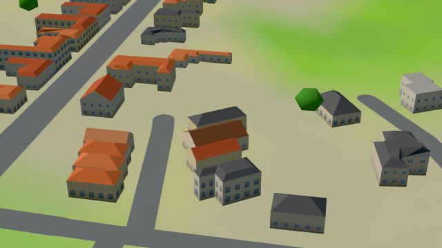 City model
 from OpenStreetMap and ČÚZK data, ODbL -
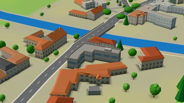 City model
 from OpenStreetMap and ČÚZK data, ODbL -
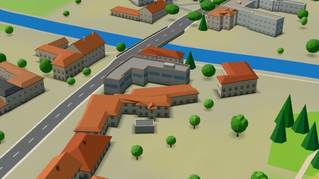 City model
 from OpenStreetMap and ČÚZK data, ODbL -
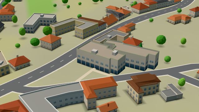 City model
 from OpenStreetMap and ČÚZK data, ODbL -
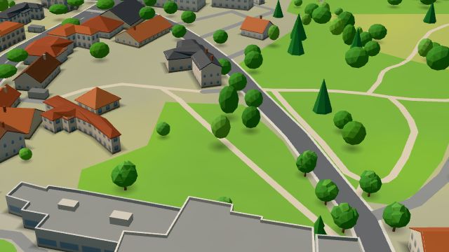 City model
 from OpenStreetMap and ČÚZK data, ODbL -
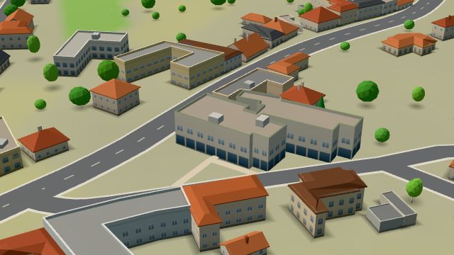 City model
 from OpenStreetMap and ČÚZK data, ODbL -
 City model
 from OpenStreetMap and ČÚZK data, ODbL -
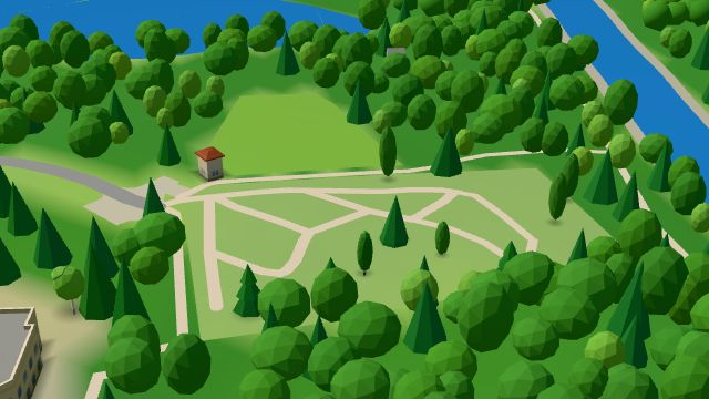 City model
 from OpenStreetMap and ČÚZK data, ODbL