


Droždín
Businesses and places in Droždín, Olomouc: 16 places.
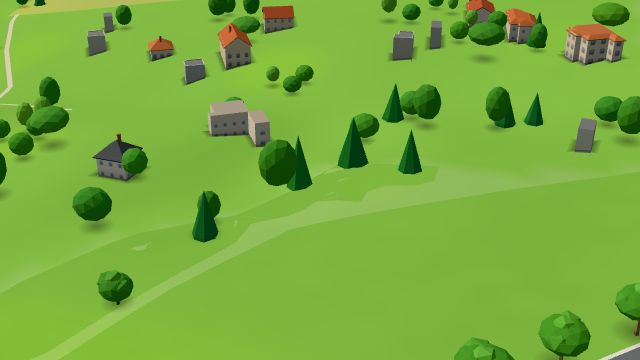
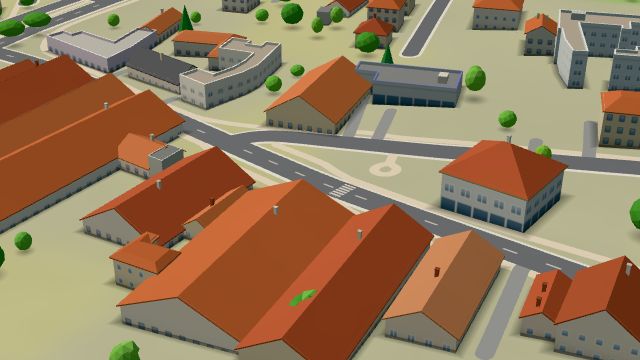
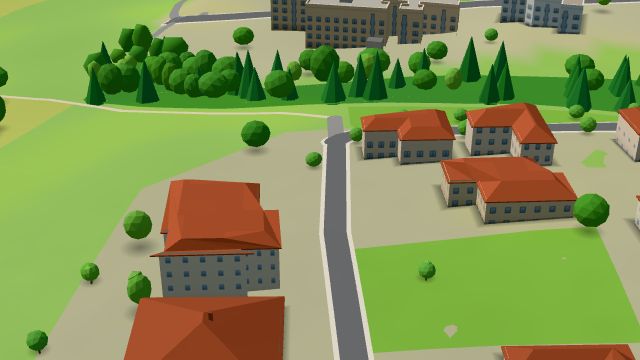
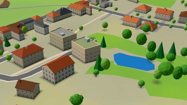
Droždín lies about 6.5 km north-east of the centre of Olomouc and takes its name from a man called Drozda, whose property it was. First recorded in 1275, by 1660 it belonged entirely to the Premonstratensian monastery of Hradisko, and it has been part of Olomouc since 1 July 1974. The serpentine road from Samotišky up to Svatý Kopeček, built through the village in 1870, once hosted hill-climb races, and on Easter Sunday the village feast opens with a procession to the basilica on Svatý Kopeček, a custom revived in 1995. The village has the chapel of St Anne and a memorial to the victims of both world wars.
Results
-
 City model
 from OpenStreetMap and ČÚZK data, ODbL -
 City model
 from OpenStreetMap and ČÚZK data, ODbL -
 City model
 from OpenStreetMap and ČÚZK data, ODbL -
 City model
 from OpenStreetMap and ČÚZK data, ODbL -
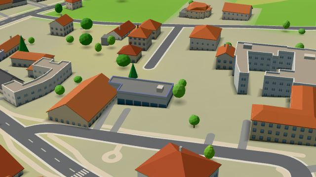 City model
 from OpenStreetMap and ČÚZK data, ODbL Hruška
Closed · opens tomorrow at 7:00
-
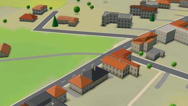 City model
 from OpenStreetMap and ČÚZK data, ODbL -
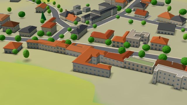 City model
 from OpenStreetMap and ČÚZK data, ODbL -
 City model
 from OpenStreetMap and ČÚZK data, ODbL -
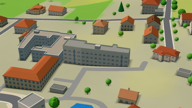 City model
 from OpenStreetMap and ČÚZK data, ODbL -
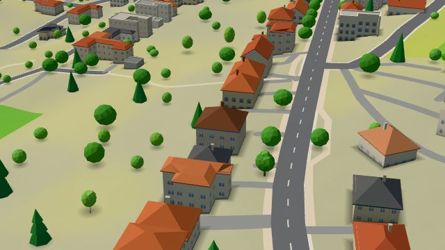 City model
 from OpenStreetMap and ČÚZK data, ODbL -
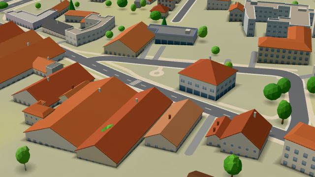 City model
 from OpenStreetMap and ČÚZK data, ODbL -
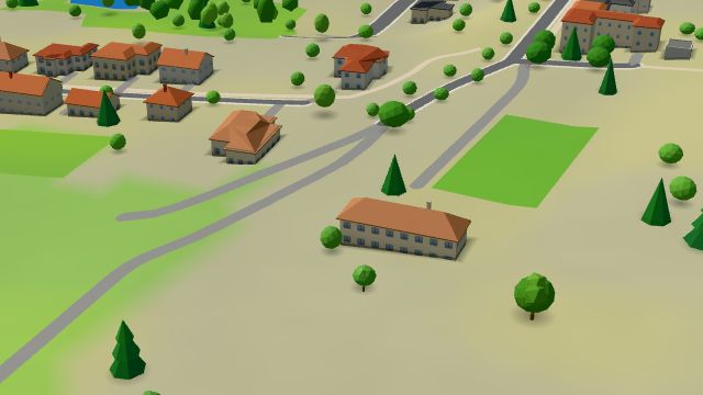 City model
 from OpenStreetMap and ČÚZK data, ODbL -
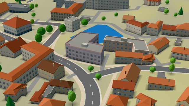 City model
 from OpenStreetMap and ČÚZK data, ODbL -
 City model
 from OpenStreetMap and ČÚZK data, ODbL -
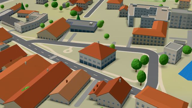 City model
 from OpenStreetMap and ČÚZK data, ODbL -
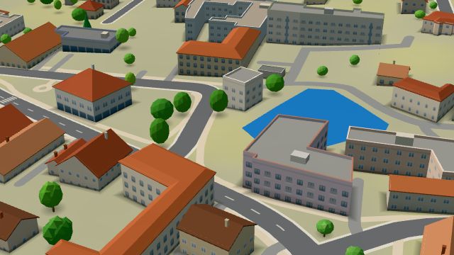 City model
 from OpenStreetMap and ČÚZK data, ODbL