


Hejčín
Businesses and places in Hejčín, Olomouc: 54 places.
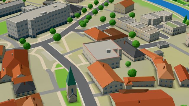
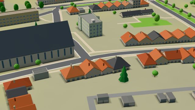
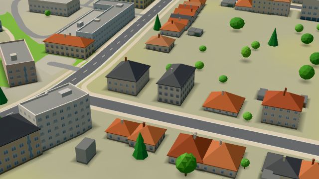
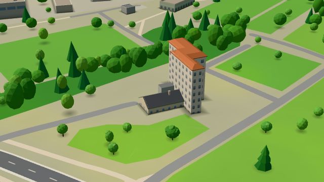
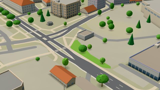
Hejčín lies north-west of the centre of Olomouc and was first recorded in 1077, when Otto, Duke of Olomouc, gave it to the newly founded Hradisko monastery; its name meant Hajka's property. A municipality from 1850, it became part of Greater Olomouc in 1919; the May brothers bought land here for a sugar works in 1851, and a hydroelectric plant followed in 1911. The football club FK Hejčín, today SK Sigma Olomouc, was founded here in 1919. Its landmark is the church of St Cyril and St Methodius, consecrated in 1932, with a tower of about 65 metres; the Hejčín grammar school, founded in 1956, and the Carmelite monastery are here too.
Results
-

Photo: Michal Maňas, CC BY 4.0 -
 City model
 from OpenStreetMap and ČÚZK data, ODbL Pizza Hradlo
Open · closes at 21:00
-
 City model
 from OpenStreetMap and ČÚZK data, ODbL Fabbrica di caffé
Closed · opens tomorrow at 7:30
-
 City model
 from OpenStreetMap and ČÚZK data, ODbL Pošta Olomouc 9
Closed · opens tomorrow at 8:00
-
 City model
 from OpenStreetMap and ČÚZK data, ODbL -
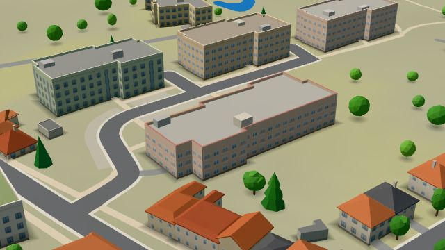 City model
 from OpenStreetMap and ČÚZK data, ODbL -
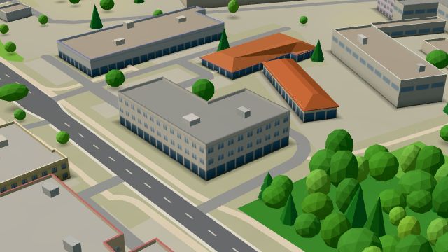 City model
 from OpenStreetMap and ČÚZK data, ODbL -
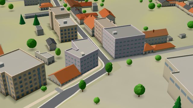 City model
 from OpenStreetMap and ČÚZK data, ODbL -
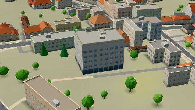 City model
 from OpenStreetMap and ČÚZK data, ODbL -
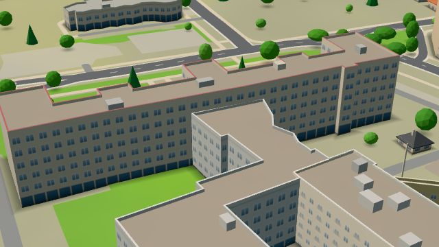 City model
 from OpenStreetMap and ČÚZK data, ODbL -
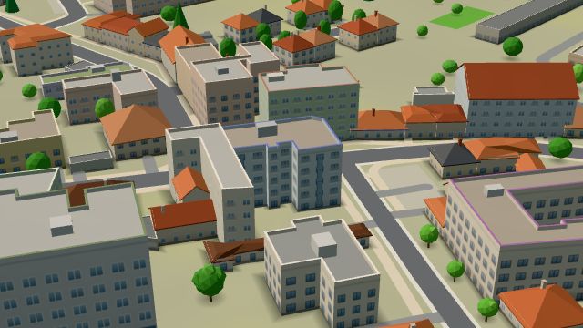 City model
 from OpenStreetMap and ČÚZK data, ODbL -
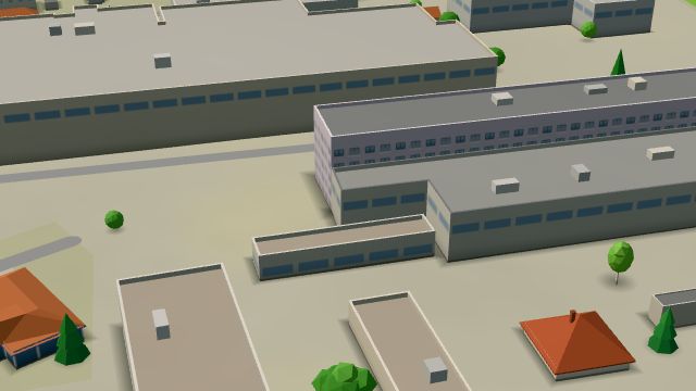 City model
 from OpenStreetMap and ČÚZK data, ODbL -
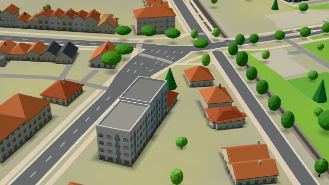 City model
 from OpenStreetMap and ČÚZK data, ODbL -
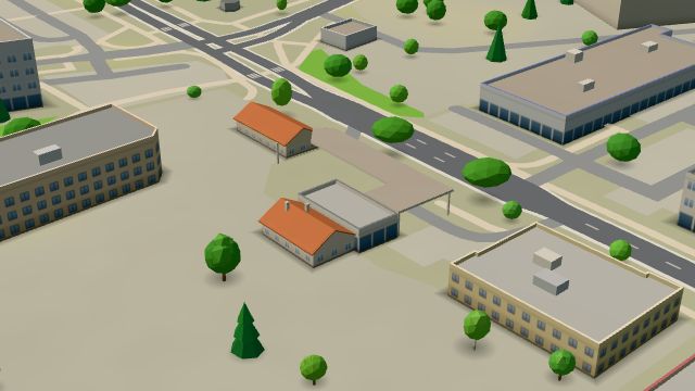 City model
 from OpenStreetMap and ČÚZK data, ODbL OMV
Open 24 hours
-
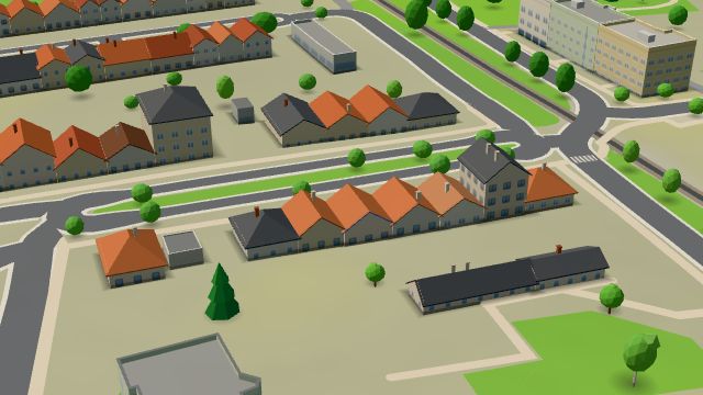 City model
 from OpenStreetMap and ČÚZK data, ODbL -
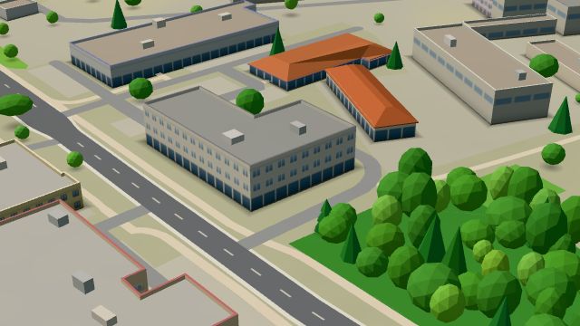 City model
 from OpenStreetMap and ČÚZK data, ODbL -
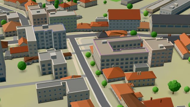 City model
 from OpenStreetMap and ČÚZK data, ODbL -
 City model
 from OpenStreetMap and ČÚZK data, ODbL -
 City model
 from OpenStreetMap and ČÚZK data, ODbL -
 City model
 from OpenStreetMap and ČÚZK data, ODbL -
 City model
 from OpenStreetMap and ČÚZK data, ODbL -
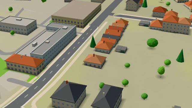 City model
 from OpenStreetMap and ČÚZK data, ODbL -
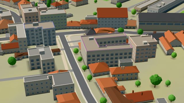 City model
 from OpenStreetMap and ČÚZK data, ODbL -
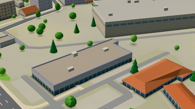 City model
 from OpenStreetMap and ČÚZK data, ODbL
What is here
- Health 13
- Shops 11
- Schools 8
- Services 5
- Sport 5
- Restaurants 3
- Bars and pubs 3
- Wellness 3
- Landmarks 2
- Cafés 1
- Doctors 7
- Physiotherapy 6
- Car repair and tyres 4
- Beauty and nails 3
- Groceries and supermarkets 3
- Nursery schools 3
- Secondary schools 3
- Clothes and fashion 2
- Primary schools 2
- Churches 2
- Gyms 1
- Car dealers 1
- Flowers 1
- Hospitals and clinics 1
- Gifts and souvenirs 1
- Wine and drinks 1
- Petrol stations 1
- Italian food 1
- Pizza 1
- Pets 1
- Dance 1
- Art and music schools 1
- Post offices 1