


Lazce
Businesses and places in Lazce, Olomouc: 107 places.
Lazce lies north of the centre of Olomouc and takes its name from láz, a patch of land at the edge of a forest cleared by burning. First recorded in 1298, the original hamlet was pulled down in 1746 to make way for the Olomouc fortress, and its families moved about a kilometre north; Lazce became a municipality of its own in 1884 and part of Greater Olomouc in 1919. In the early 20th century came a villa quarter called Nové Lazce or Letná, the city's first football pitch and the rink where ice hockey was first played in Olomouc. The Palacký University sports hall opened in 1978 along with a housing estate, and a protected dawn redwood grows at the corner of Na Střelnici and Lazecká.
Results
-
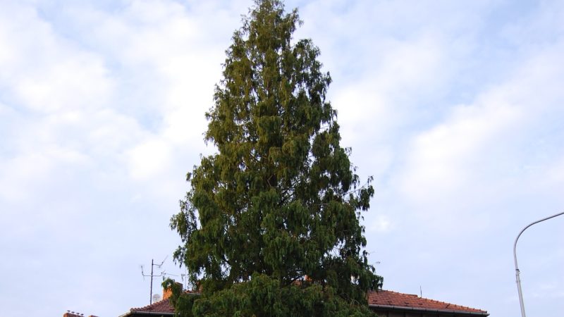
Photo: xkomczax, CC BY-SA 3.0 -
 City model
 from OpenStreetMap and ČÚZK data, ODbL Krokodýlek Olomouc
Closed · opens tomorrow at 10:00
-
 City model
 from OpenStreetMap and ČÚZK data, ODbL OTOSPORT 1993 s.r.o.
Closed · opens tomorrow at 10:00
-
 City model
 from OpenStreetMap and ČÚZK data, ODbL Restaurace PEVY
Open · closes at 22:00
-
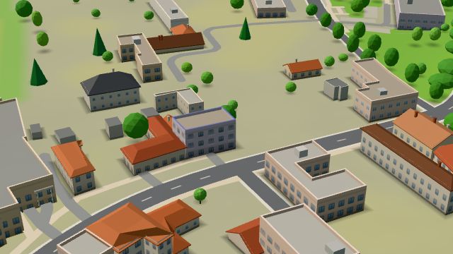 City model
 from OpenStreetMap and ČÚZK data, ODbL GM Sport
Closed · opens tomorrow at 10:00
-
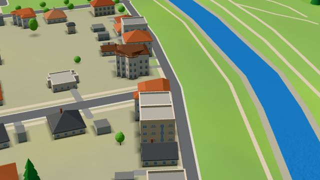 City model
 from OpenStreetMap and ČÚZK data, ODbL Hospůdka U Milana
Open · closes at 22:00
-
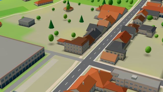 City model
 from OpenStreetMap and ČÚZK data, ODbL Jízdní kola Řehulka
Closed · opens tomorrow at 9:00
-
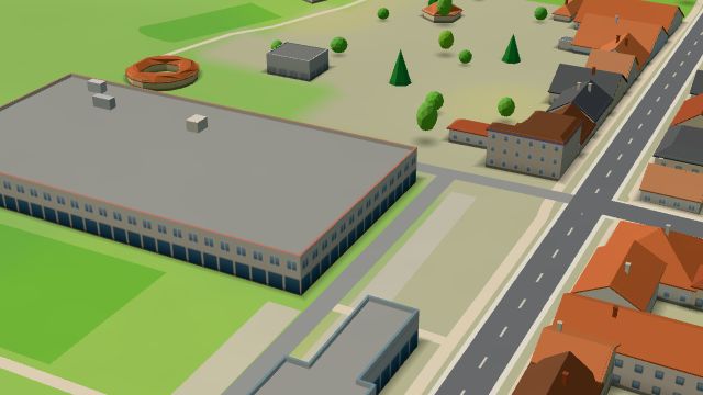 City model
 from OpenStreetMap and ČÚZK data, ODbL Jízdárna
Closed · opens tomorrow at 7:30
-
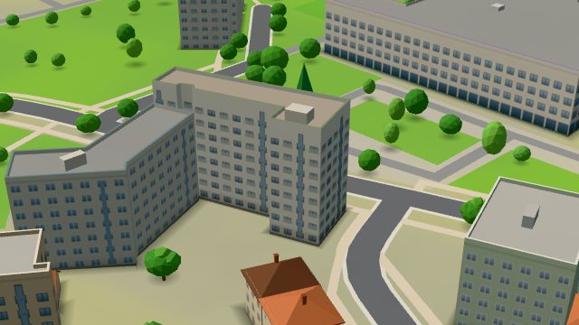 City model
 from OpenStreetMap and ČÚZK data, ODbL Káče plavecká výuka dětí
Closed · opens tomorrow at 8:00
-
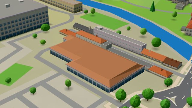 City model
 from OpenStreetMap and ČÚZK data, ODbL Lidl
Open · closes at 21:00
-
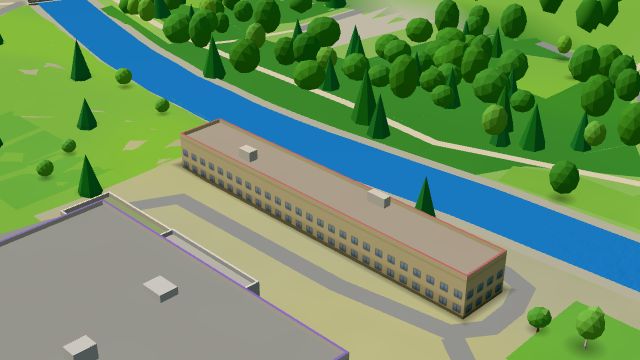 City model
 from OpenStreetMap and ČÚZK data, ODbL -
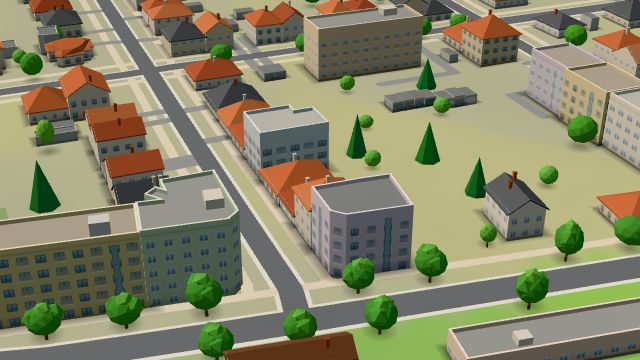 City model
 from OpenStreetMap and ČÚZK data, ODbL -
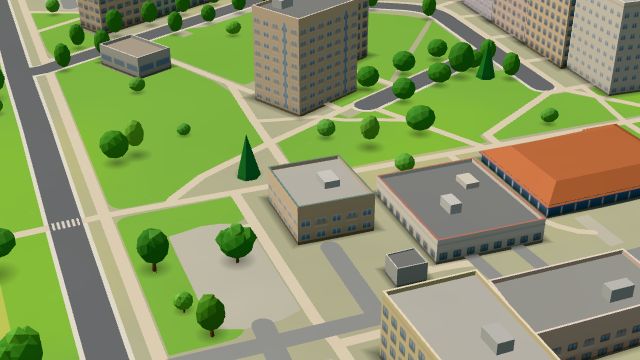 City model
 from OpenStreetMap and ČÚZK data, ODbL -
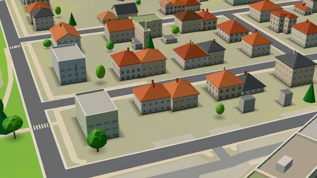 City model
 from OpenStreetMap and ČÚZK data, ODbL -
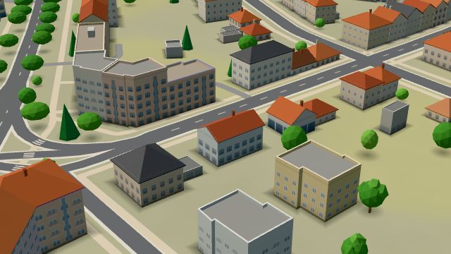 City model
 from OpenStreetMap and ČÚZK data, ODbL -
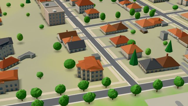 City model
 from OpenStreetMap and ČÚZK data, ODbL -
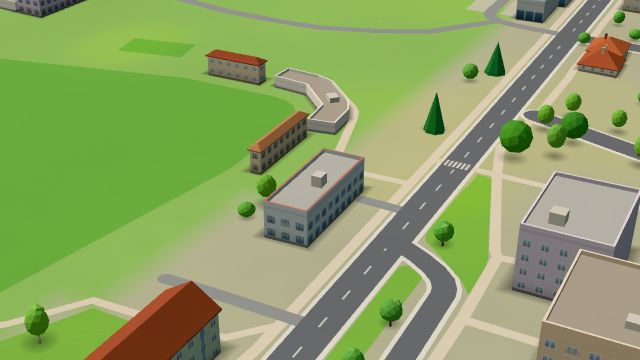 City model
 from OpenStreetMap and ČÚZK data, ODbL -
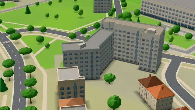 City model
 from OpenStreetMap and ČÚZK data, ODbL -
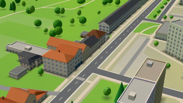 City model
 from OpenStreetMap and ČÚZK data, ODbL -
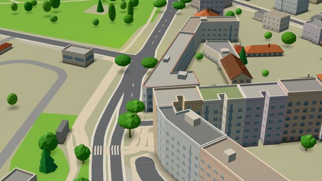 City model
 from OpenStreetMap and ČÚZK data, ODbL Blues Rock Cafe
Open · closes at 23:00
-
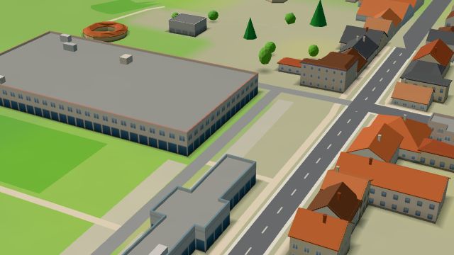 City model
 from OpenStreetMap and ČÚZK data, ODbL -
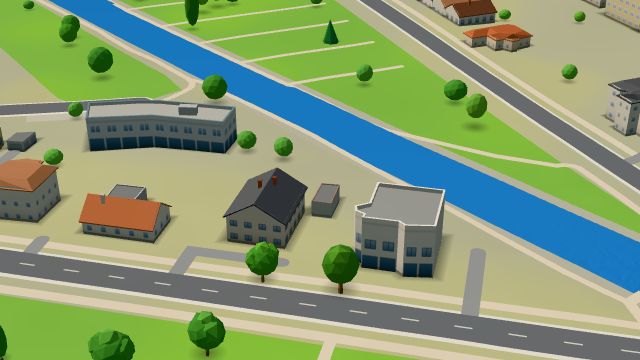 City model
 from OpenStreetMap and ČÚZK data, ODbL -
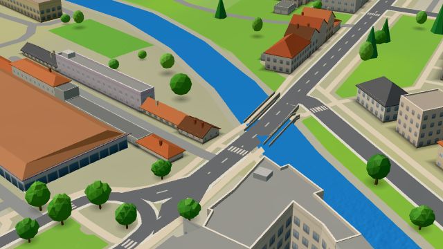 City model
 from OpenStreetMap and ČÚZK data, ODbL -
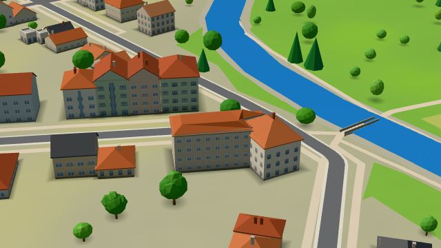 City model
 from OpenStreetMap and ČÚZK data, ODbL
What is here
- Health 43
- Shops 15
- Restaurants 9
- Services 8
- Sport 8
- Bars and pubs 7
- Accommodation 6
- Cafés 3
- Schools 3
- Parks and nature 2
- Wellness 2
- Culture 1
- Doctors 29
- Dentists 7
- Car repair and tyres 4
- Groceries and supermarkets 3
- Gyms 3
- Electronics and phones 3
- Bikes 3
- Beauty and nails 2
- Nursery schools 2
- Car dealers 2
- Hospitals and clinics 2
- Physiotherapy 2
- Hardware and DIY 2
- Nightlife 2
- Blood tests 2
- Clothes and fashion 1
- Primary schools 1
- Pharmacies 1
- Cakes and ice cream 1
- Wine and drinks 1
- Italian food 1
- Tobacconists 1
- Psychologists and therapists 1
- Pizza 1
- Vets 1
- Driving schools 1
- Music 1
- Speech therapists 1