


Řepčín
Businesses and places in Řepčín, Olomouc: 33 places.
Řepčín lies north-west of the centre of Olomouc and takes its name from a man called Řepka, whose property it once was. First recorded in a charter of Bishop Jindřich Zdík in 1141, it became a municipality in 1850 and part of Greater Olomouc in 1919. The railway, with Olomouc-Řepčín station, and a factory that grew into large steel and iron works changed the farming village; Dominican nuns founded a convent here in 1889, later used by the army and then as a hospital. It has the chapel of St Isidore and the Řepčín stadium, and in the fields north-east of the houses lies the Bázlerova pískovna nature monument, a pond left by gravel digging.
Results
-
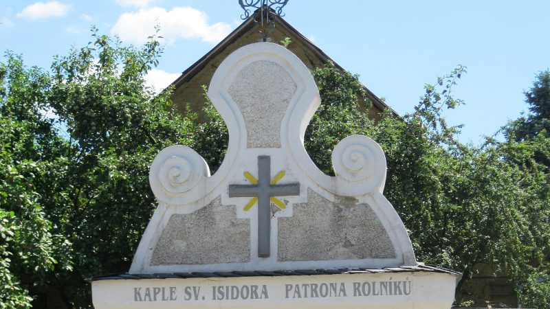
Photo: Lehotsky, CC BY-SA 3.0 -
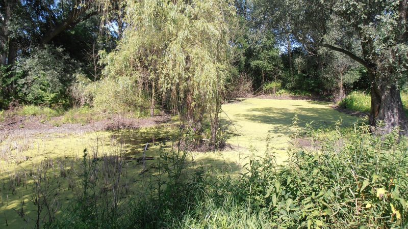
Photo: Senimo, Public domain -
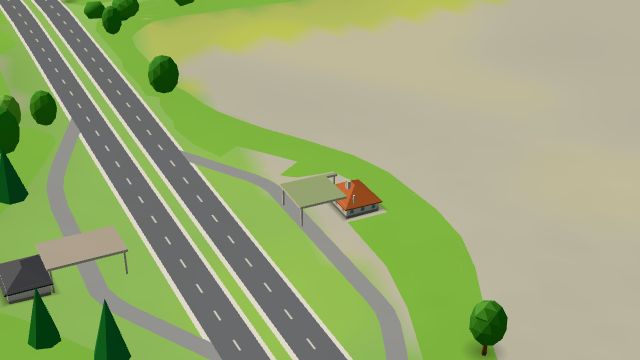 City model
 from OpenStreetMap and ČÚZK data, ODbL KM-Prona, Olomouc
Open · closes at 21:00
-
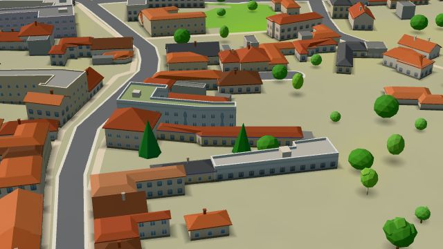 City model
 from OpenStreetMap and ČÚZK data, ODbL kolobezky.bike
Closed · opens tomorrow at 13:00
-
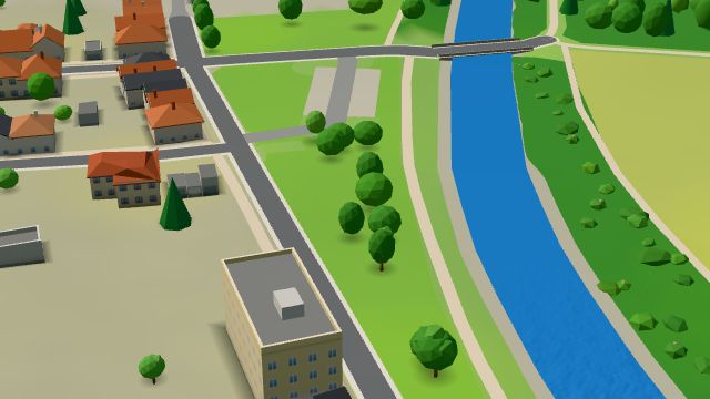 City model
 from OpenStreetMap and ČÚZK data, ODbL Sejdeme se u vody
Open 24 hours
-
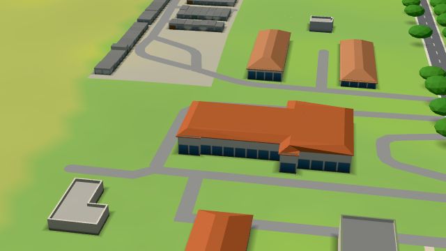 City model
 from OpenStreetMap and ČÚZK data, ODbL Twinberg
Open · closes at 23:00
-
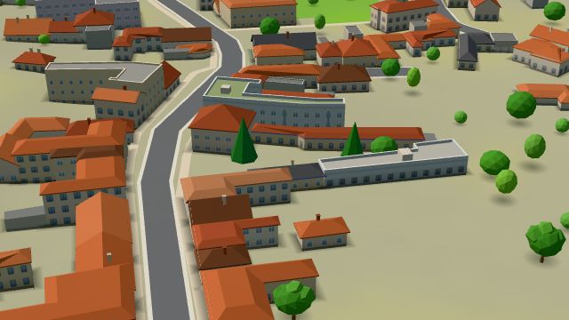 City model
 from OpenStreetMap and ČÚZK data, ODbL Ardor - dřevěné podlahy
Closed · opens tomorrow at 7:15
-
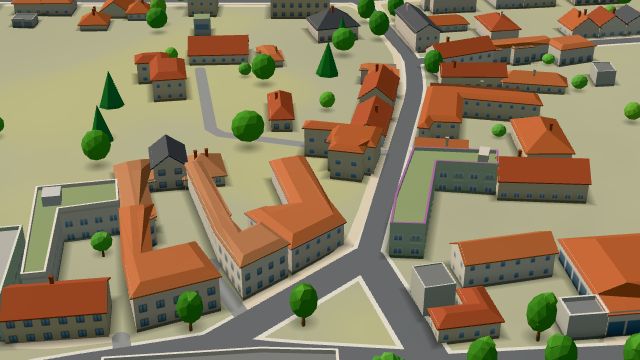 City model
 from OpenStreetMap and ČÚZK data, ODbL -
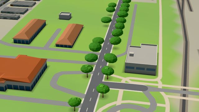 City model
 from OpenStreetMap and ČÚZK data, ODbL -
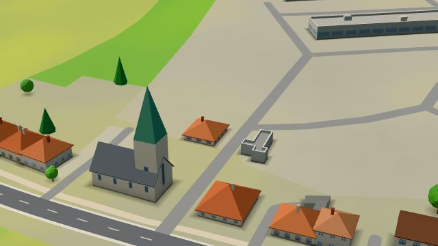 City model
 from OpenStreetMap and ČÚZK data, ODbL -
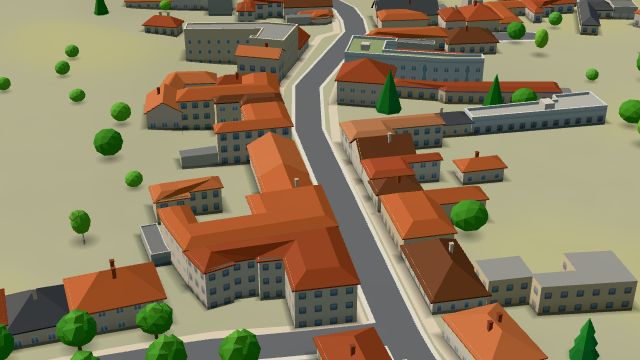 City model
 from OpenStreetMap and ČÚZK data, ODbL -
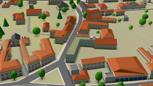 City model
 from OpenStreetMap and ČÚZK data, ODbL -
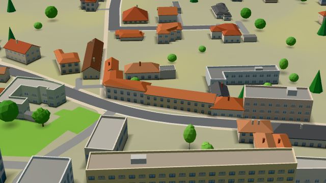 City model
 from OpenStreetMap and ČÚZK data, ODbL -
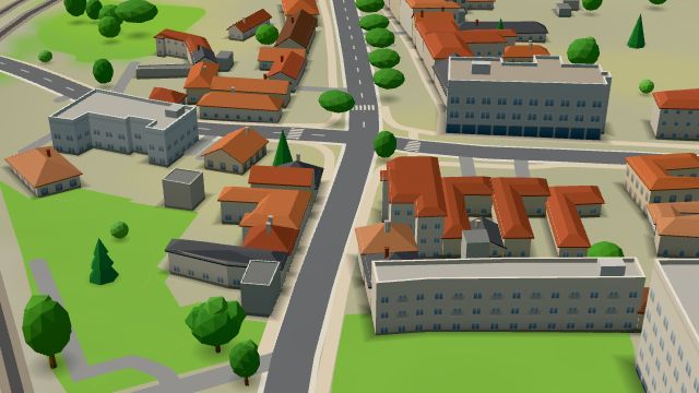 City model
 from OpenStreetMap and ČÚZK data, ODbL -
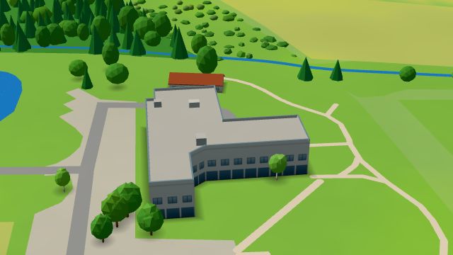 City model
 from OpenStreetMap and ČÚZK data, ODbL -
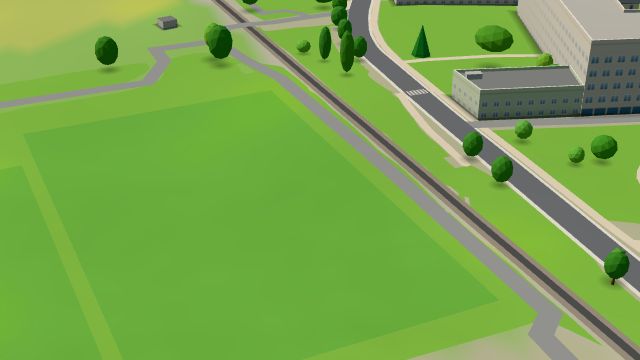 City model
 from OpenStreetMap and ČÚZK data, ODbL -
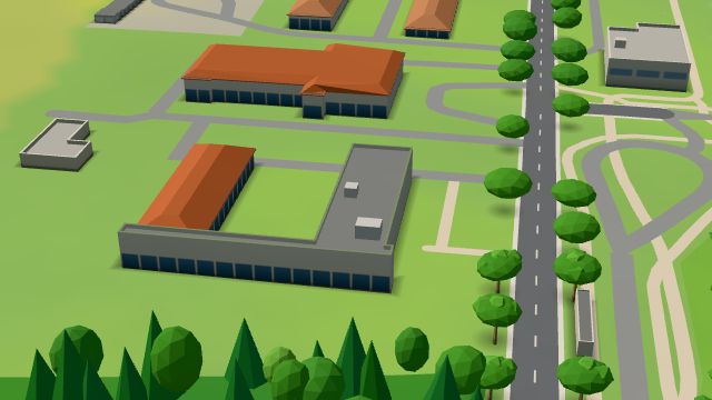 City model
 from OpenStreetMap and ČÚZK data, ODbL -
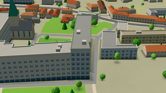 City model
 from OpenStreetMap and ČÚZK data, ODbL -
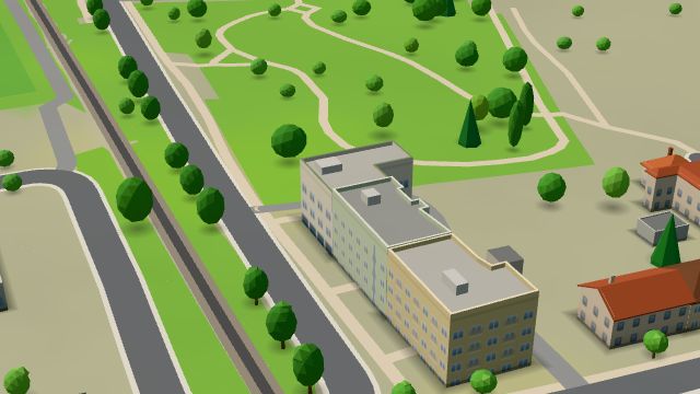 City model
 from OpenStreetMap and ČÚZK data, ODbL -
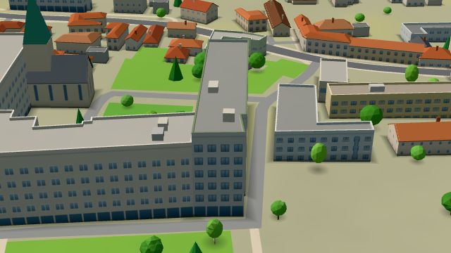 City model
 from OpenStreetMap and ČÚZK data, ODbL -
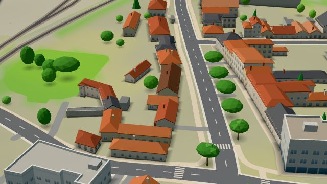 City model
 from OpenStreetMap and ČÚZK data, ODbL -
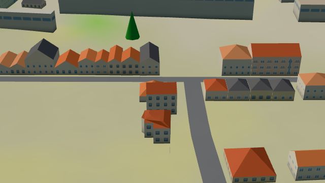 City model
 from OpenStreetMap and ČÚZK data, ODbL -
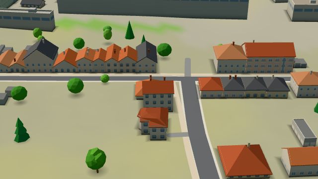 City model
 from OpenStreetMap and ČÚZK data, ODbL -
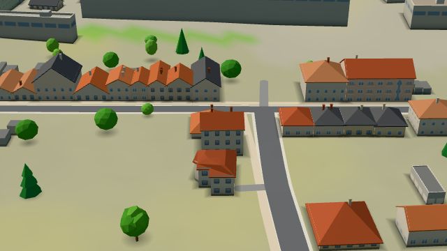 City model
 from OpenStreetMap and ČÚZK data, ODbL
What is here
- Schools 6
- Shops 5
- Landmarks 4
- Restaurants 3
- Health 3
- Accommodation 3
- Parks and nature 2
- Services 2
- Sport 2
- Wellness 2
- Bars and pubs 1
- Dentists 3
- Nursery schools 3
- Secondary schools 3
- Beauty and nails 2
- Furniture and home 2
- Primary schools 2
- Churches 2
- Flowers 2
- Car repair and tyres 1
- Breweries 1
- Bikes 1
- Petrol stations 1
- Italian food 1
- Pizza 1