


Slavonín
Businesses and places in Slavonín, Olomouc: 41 places.
Slavonín lies south-west of the centre of Olomouc and includes the former village of Kyselov, now recalled only by Kyselovská street. People lived here in the Neolithic; the village, first recorded in 1141, belonged to the German-speaking island around Olomouc until its Germans were expelled in 1946, and it joined the city on 1 May 1974. During the siege of Olomouc in 1758, King Frederick II of Prussia made its baroque rectory his quarters. The church of St Andrew, with a Gothic core and the Stations of the Cross in the wall of the old churchyard, stands on a gentle rise, the chapel of St Florian is on Zolova street, and Fort XI survives too.
Results
-
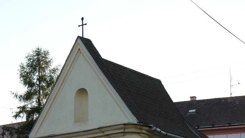
Photo: Magdalena Čížková, CC BY-SA 3.0 -
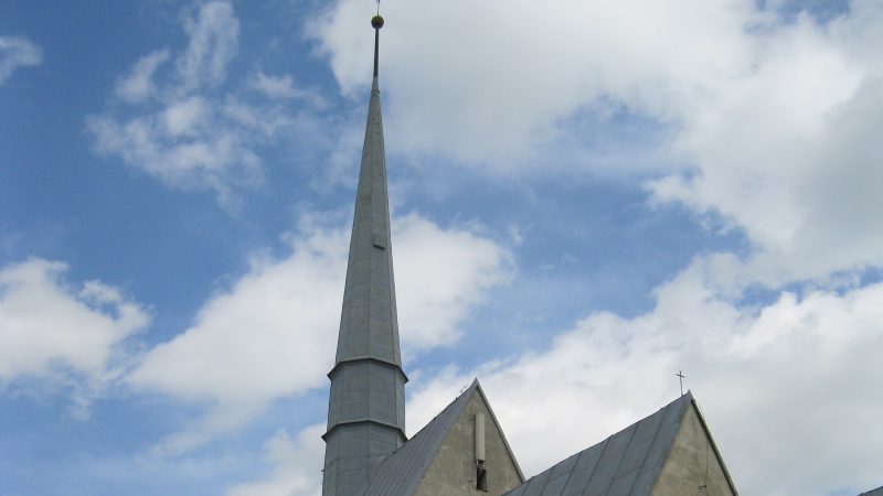
Photo: Lehotsky, CC BY-SA 3.0 -
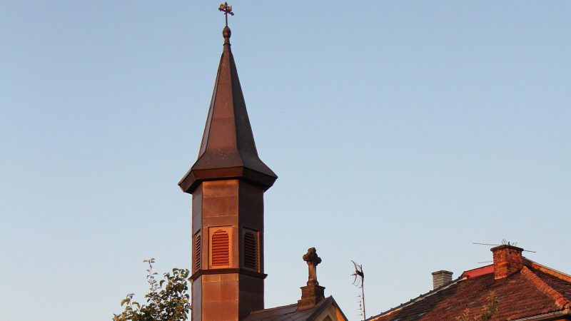
Photo: Magdalena Čížková, CC BY-SA 3.0 -
 City model
 from OpenStreetMap and ČÚZK data, ODbL Aleš Opletal
Closed · opens tomorrow at 7:00
-
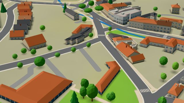 City model
 from OpenStreetMap and ČÚZK data, ODbL -
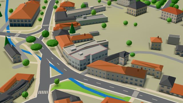 City model
 from OpenStreetMap and ČÚZK data, ODbL Front Gym
Closed · opens tomorrow at 8:00
-
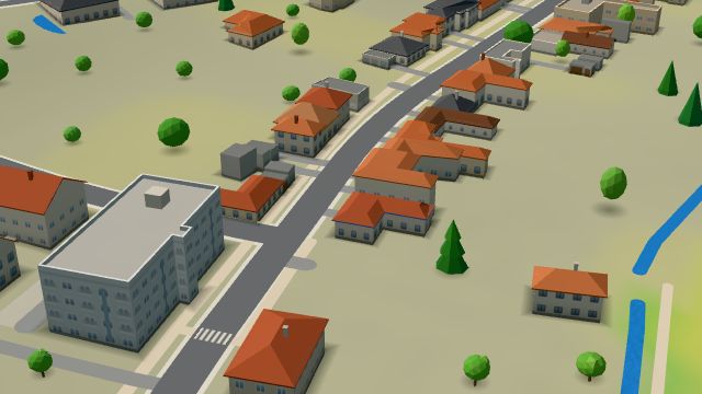 City model
 from OpenStreetMap and ČÚZK data, ODbL -
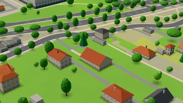 City model
 from OpenStreetMap and ČÚZK data, ODbL Veterinární klinika
Closed · opens tomorrow at 8:00
-
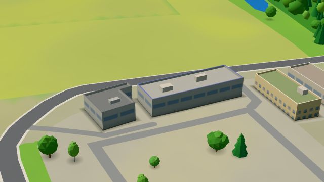 City model
 from OpenStreetMap and ČÚZK data, ODbL ascendum
Closed · opens tomorrow at 7:30
-
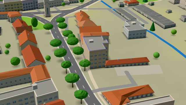 City model
 from OpenStreetMap and ČÚZK data, ODbL -
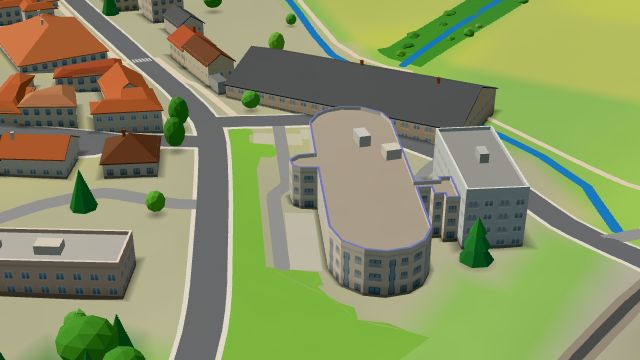 City model
 from OpenStreetMap and ČÚZK data, ODbL -
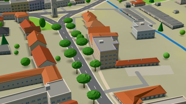 City model
 from OpenStreetMap and ČÚZK data, ODbL -
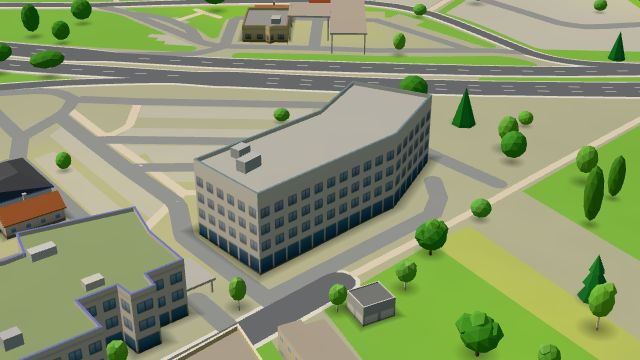 City model
 from OpenStreetMap and ČÚZK data, ODbL -
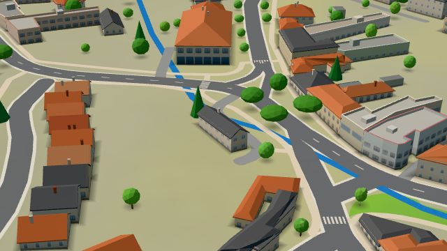 City model
 from OpenStreetMap and ČÚZK data, ODbL -
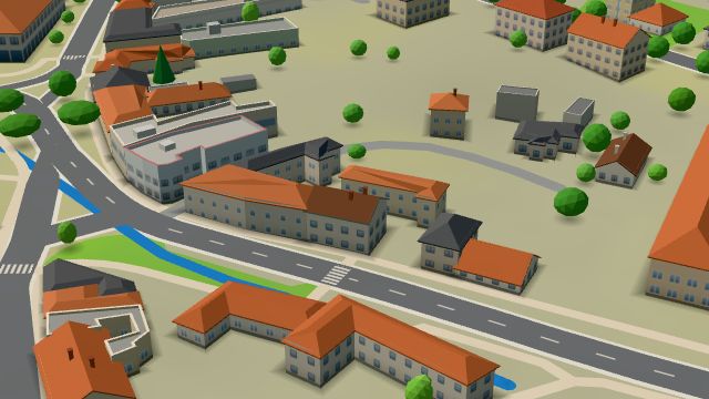 City model
 from OpenStreetMap and ČÚZK data, ODbL -
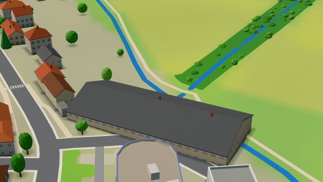 City model
 from OpenStreetMap and ČÚZK data, ODbL -
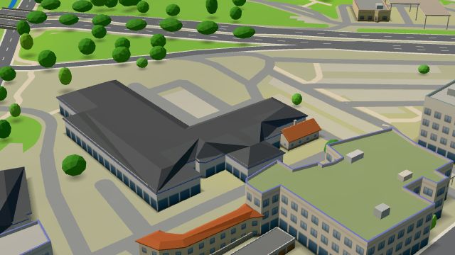 City model
 from OpenStreetMap and ČÚZK data, ODbL -
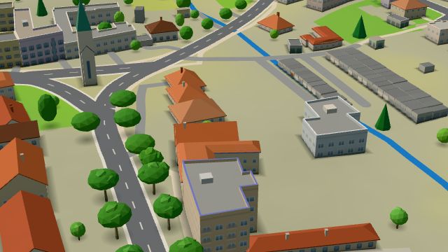 City model
 from OpenStreetMap and ČÚZK data, ODbL -
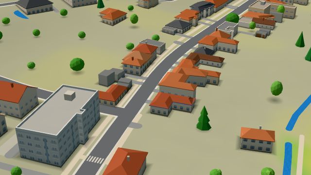 City model
 from OpenStreetMap and ČÚZK data, ODbL -
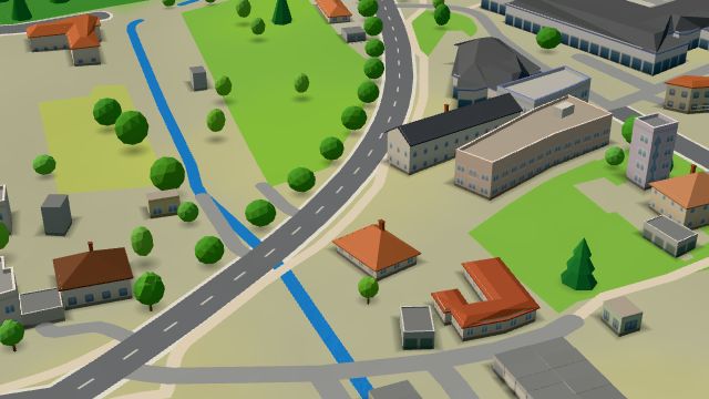 City model
 from OpenStreetMap and ČÚZK data, ODbL -
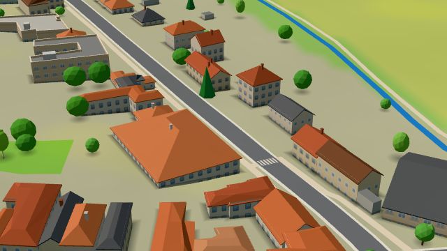 City model
 from OpenStreetMap and ČÚZK data, ODbL -
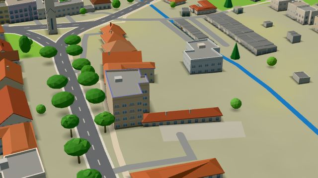 City model
 from OpenStreetMap and ČÚZK data, ODbL -
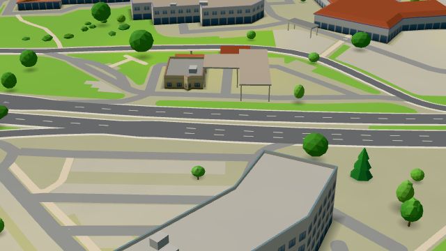 City model
 from OpenStreetMap and ČÚZK data, ODbL -
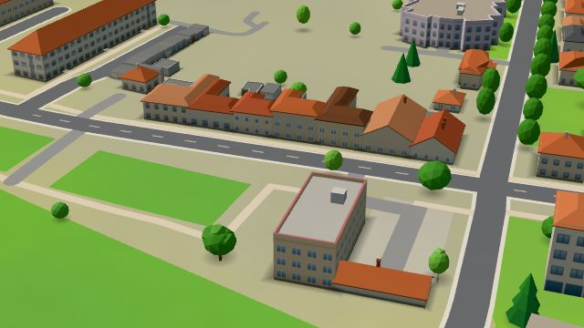 City model
 from OpenStreetMap and ČÚZK data, ODbL
What is here
- Shops 19
- Landmarks 4
- Services 4
- Health 3
- Accommodation 3
- Sport 3
- Restaurants 2
- Bars and pubs 1
- Culture 1
- Schools 1
- Car dealers 6
- Groceries and supermarkets 3
- Doctors 2
- Furniture and home 2
- Gyms 2
- Car repair and tyres 2
- Churches 2
- Clothes and fashion 1
- Dentists 1
- Nursery schools 1
- Gifts and souvenirs 1
- Wine and drinks 1
- Nightlife 1
- Car washes 1
- Vets 1
- Driving schools 1
- Grill and steaks 1
- Music 1