


Topolany
Businesses and places in Topolany, Olomouc: 12 places.
Topolany lies west of the centre of Olomouc, cut off from it by the D35 motorway, where the Stouska and the Křelovský potok streams meet. It takes its name from poplars, topoly, and its oldest recorded form, Topolaz, dates from 1141. It was a purely farming village, long known for making tvarůžky, Olomouc's ripened cheese, and it joined the city on 1 January 1975. A number of old Haná farmsteads survive, as do the chapel of St Florian from 1739, a statue of St John of Nepomuk and the neo-Romanesque chapel of the Sacred Heart, consecrated in 1915.
Results
-
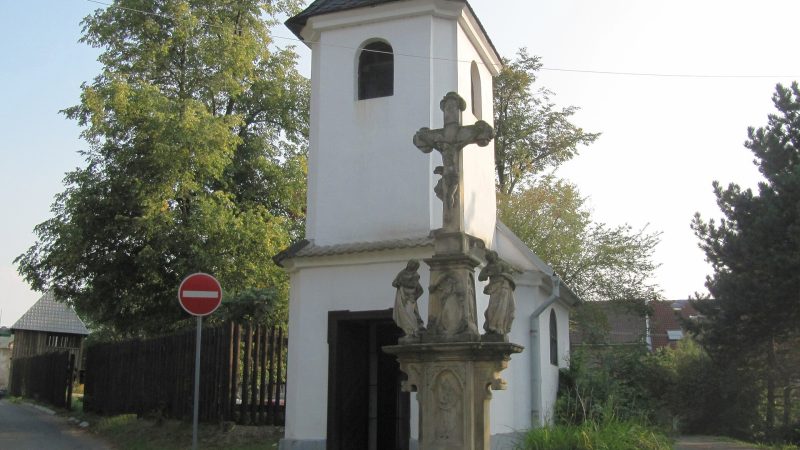
Photo: Palickap, CC BY 3.0 -
 City model
 from OpenStreetMap and ČÚZK data, ODbL -
 City model
 from OpenStreetMap and ČÚZK data, ODbL -
 City model
 from OpenStreetMap and ČÚZK data, ODbL -
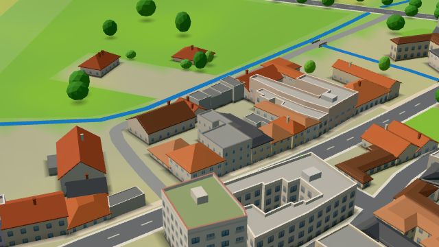 City model
 from OpenStreetMap and ČÚZK data, ODbL -
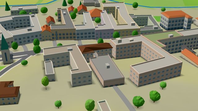 City model
 from OpenStreetMap and ČÚZK data, ODbL -
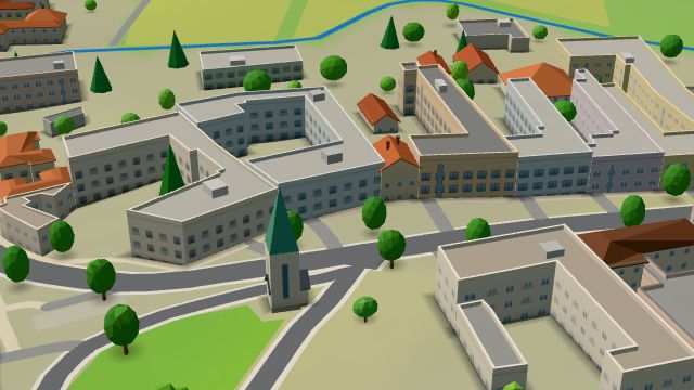 City model
 from OpenStreetMap and ČÚZK data, ODbL -
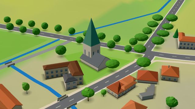 City model
 from OpenStreetMap and ČÚZK data, ODbL -
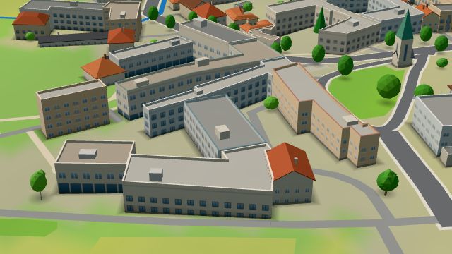 City model
 from OpenStreetMap and ČÚZK data, ODbL -
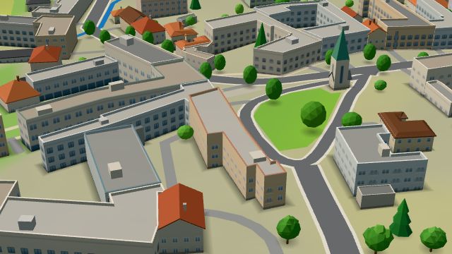 City model
 from OpenStreetMap and ČÚZK data, ODbL -
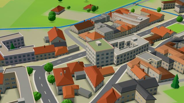 City model
 from OpenStreetMap and ČÚZK data, ODbL -
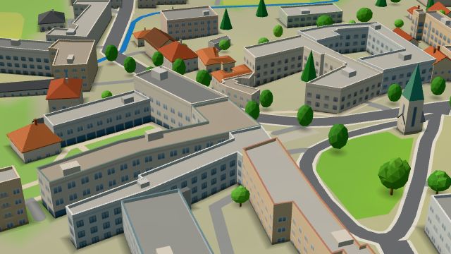 City model
 from OpenStreetMap and ČÚZK data, ODbL