


Petřkovice
Businesses and places in Petřkovice, Ostrava: 47 places.
Petřkovice lies on the northern edge of Ostrava above the confluence of the Oder and the Ostravice, where Landek hill rises: the most important archaeological site in the Ostrava area, where the Venus of Petřkovice was found in the 1950s. A Slavic hillfort and later a stone castle stood on Landek, now a national nature monument with a mining museum offering tours of an old mine. Coal was found here in 1780, and the Mexiko miners' colony of 1899 is the oldest in the region. With the Hlučín Region, it belonged to Prussia and Germany until 1920.
Results
-
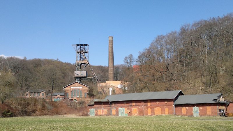
Photo: Tedmek, CC BY-SA 3.0 -
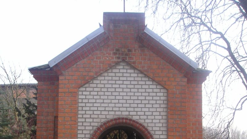
Photo: Josef Novák3, Public domain -
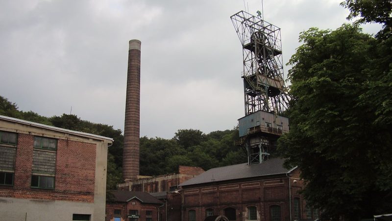
Photo: No machine-readable author provided. Wizzard assumed (based on copyright claims)., CC BY-SA 3.0 -
 City model
 from OpenStreetMap and ČÚZK data, ODbL Harenda u Barborky
Closed · opens at 11:00
-
 City model
 from OpenStreetMap and ČÚZK data, ODbL Pekařství Velička
Open · closes at 17:00
-
 City model
 from OpenStreetMap and ČÚZK data, ODbL BistrOpen
Closed · opens at 15:00
-
 City model
 from OpenStreetMap and ČÚZK data, ODbL Pošta Ostrava 29
Closed · opens at 10:00
-
 City model
 from OpenStreetMap and ČÚZK data, ODbL Petřkovice
Open · closes at 16:00
-
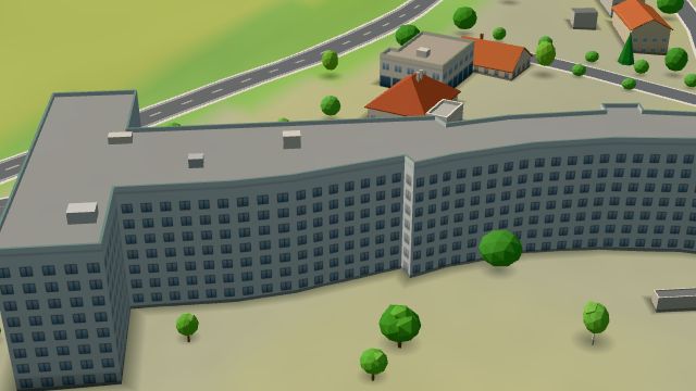 City model
 from OpenStreetMap and ČÚZK data, ODbL -
 City model
 from OpenStreetMap and ČÚZK data, ODbL -
 City model
 from OpenStreetMap and ČÚZK data, ODbL -
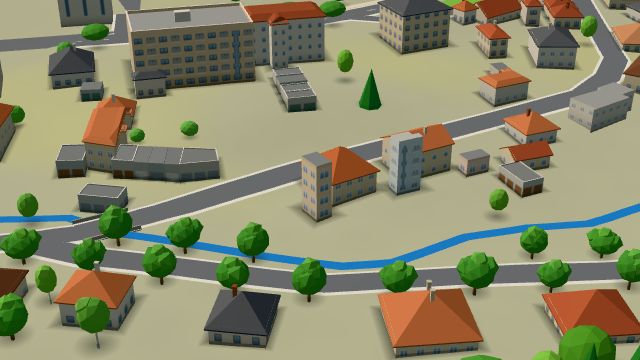 City model
 from OpenStreetMap and ČÚZK data, ODbL -
 City model
 from OpenStreetMap and ČÚZK data, ODbL -
 City model
 from OpenStreetMap and ČÚZK data, ODbL -
 City model
 from OpenStreetMap and ČÚZK data, ODbL -
 City model
 from OpenStreetMap and ČÚZK data, ODbL -
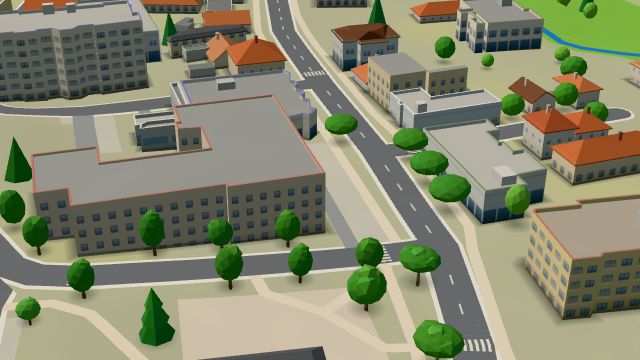 City model
 from OpenStreetMap and ČÚZK data, ODbL -
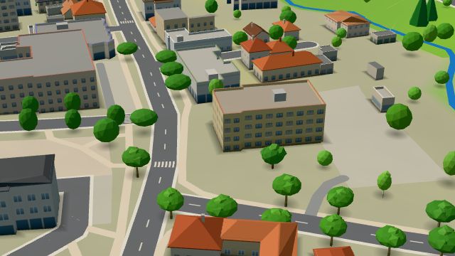 City model
 from OpenStreetMap and ČÚZK data, ODbL Satelit
Closed · opens at 9:00
-
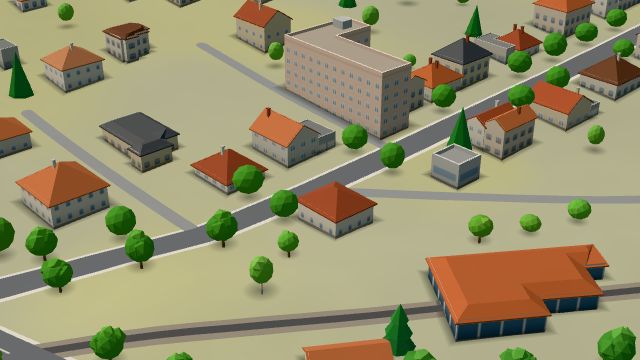 City model
 from OpenStreetMap and ČÚZK data, ODbL -
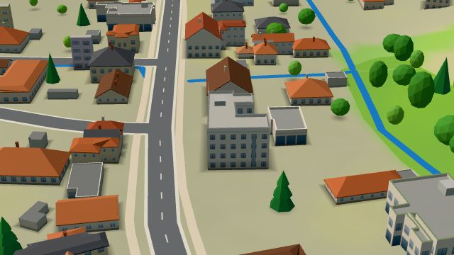 City model
 from OpenStreetMap and ČÚZK data, ODbL -
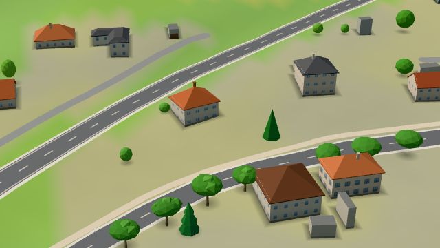 City model
 from OpenStreetMap and ČÚZK data, ODbL -
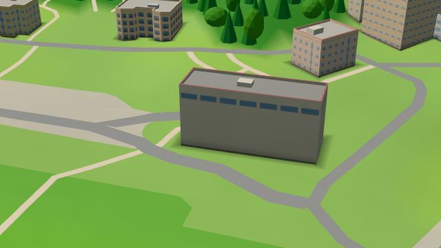 City model
 from OpenStreetMap and ČÚZK data, ODbL -
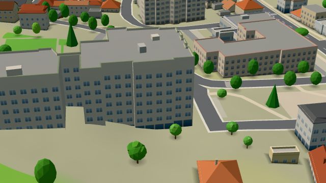 City model
 from OpenStreetMap and ČÚZK data, ODbL -
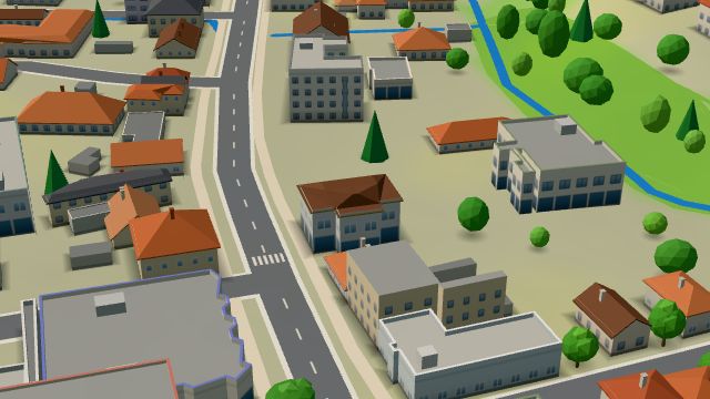 City model
 from OpenStreetMap and ČÚZK data, ODbL
What is here
- Restaurants 8
- Shops 6
- Schools 5
- Bars and pubs 4
- Landmarks 4
- Health 4
- Services 3
- Accommodation 3
- Sport 3
- Culture 2
- Parks and nature 2
- Wellness 2
- Cafés 1
- Primary schools 3
- Doctors 2
- Groceries and supermarkets 2
- Beauty and nails 2
- Museums and galleries 2
- Churches 2
- Czech food 2
- Clothes and fashion 1
- Nursery schools 1
- Gyms 1
- Pharmacies 1
- Hospitals and clinics 1
- Bakeries 1
- Cakes and ice cream 1
- Car washes 1
- Post offices 1
- Art and music schools 1
- Vets 1