


Svinov
Businesses and places in Svinov, Ostrava: 75 places.
Svinov lies on the left bank of the Oder; its built-up area is in the Silesian part of Ostrava, though the eastern edge of its land reaches into Moravia. A former town first recorded in 1265, it joined Ostrava in 1957 and is best known for Ostrava-Svinov station, built in 1847 on the Emperor Ferdinand Northern Railway and today the most important station in the city; trams have run here since 1907. The church of Christ the King stands by a park, and the Polanský les and Rezavka nature reserves, with a bird hide, lie within the district.
Results
-
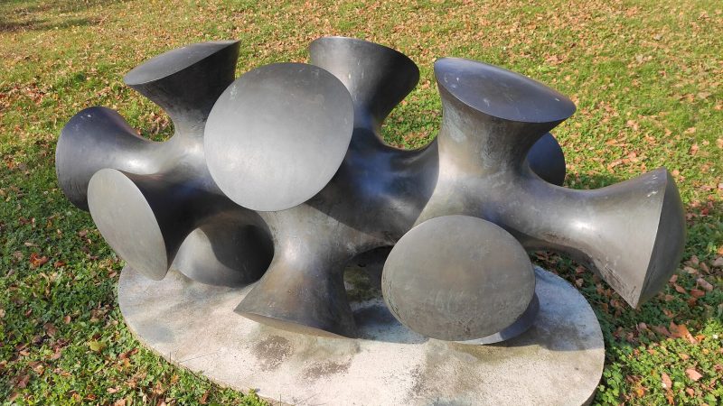
Photo: Fry72 , Karel FRYDRÝŠEK, CC BY-SA 4.0 -
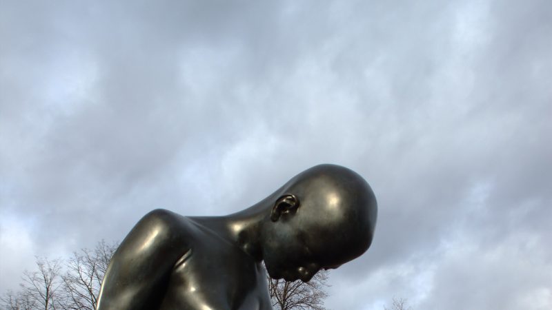
Photo: I would appreciate being notified if you use my work outside Wikimedia. More of my work can be found in my personal gallery., CC BY 3.0 -
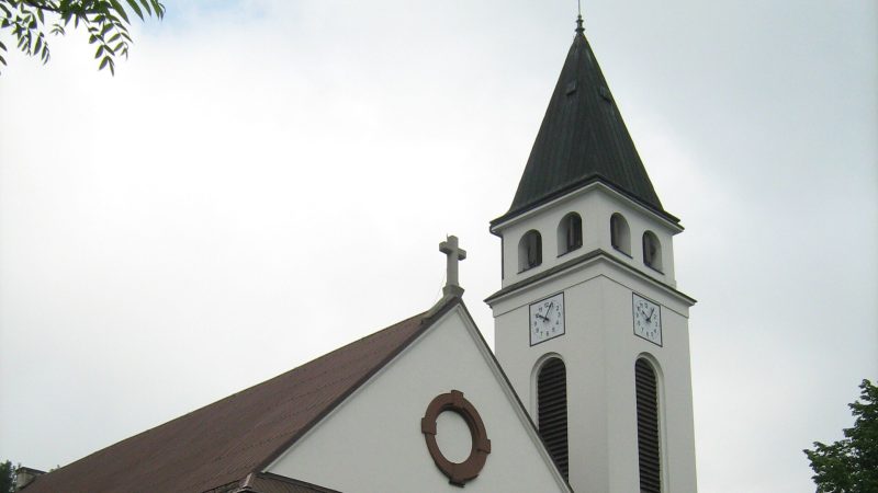
Photo: Ladin, CC BY 3.0 -
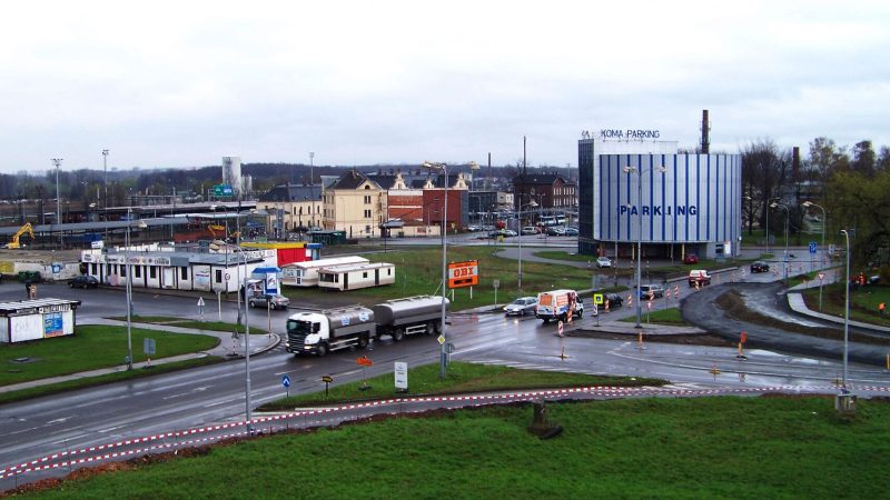
Photo: ŠJů (cs:ŠJů), CC BY-SA 3.0 -
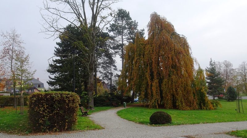
Photo: Palickap, CC BY 4.0 -
 City model
 from OpenStreetMap and ČÚZK data, ODbL Lékárna Belladonna
Closed · opens tomorrow at 13:00
-
 City model
 from OpenStreetMap and ČÚZK data, ODbL MOL, Ostrava, Opavská 13
Open · closes at 22:00
-
 City model
 from OpenStreetMap and ČÚZK data, ODbL Na Skok
Closed · opens at 11:00
-
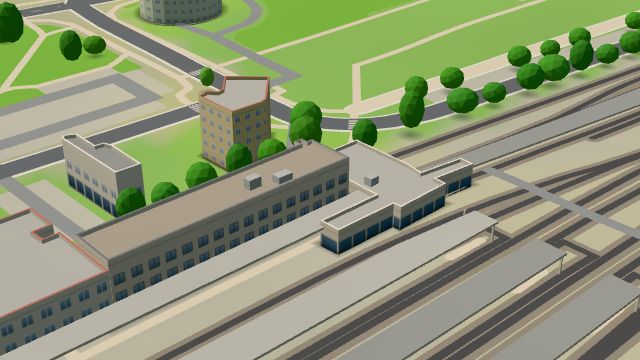 City model
 from OpenStreetMap and ČÚZK data, ODbL Pošta Ostrava 21
Closed · opens at 8:00
-
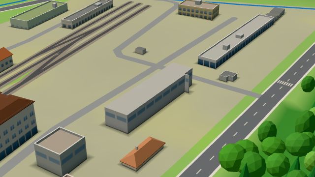 City model
 from OpenStreetMap and ČÚZK data, ODbL -
 City model
 from OpenStreetMap and ČÚZK data, ODbL -
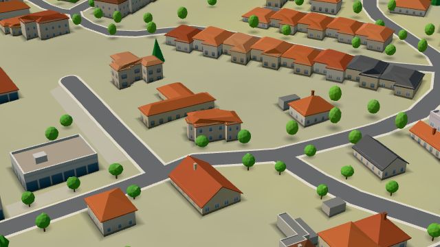 City model
 from OpenStreetMap and ČÚZK data, ODbL -
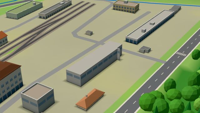 City model
 from OpenStreetMap and ČÚZK data, ODbL -
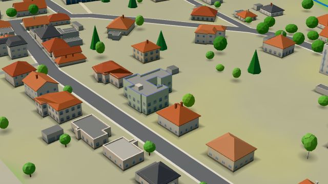 City model
 from OpenStreetMap and ČÚZK data, ODbL -
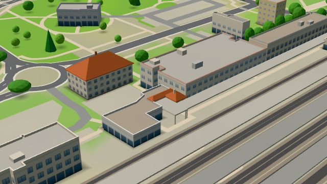 City model
 from OpenStreetMap and ČÚZK data, ODbL Bufet
Open · closes at 17:30
-
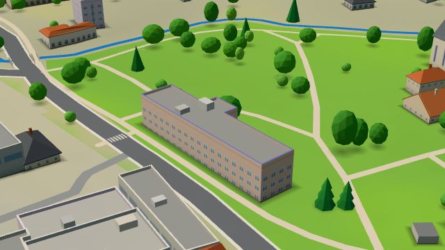 City model
 from OpenStreetMap and ČÚZK data, ODbL -
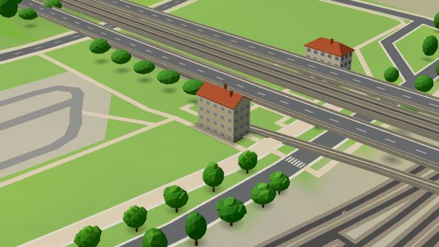 City model
 from OpenStreetMap and ČÚZK data, ODbL Erpeko
Open · closes at 18:00
-
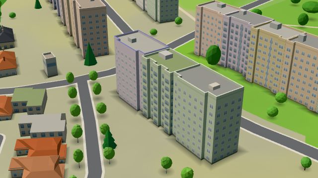 City model
 from OpenStreetMap and ČÚZK data, ODbL -
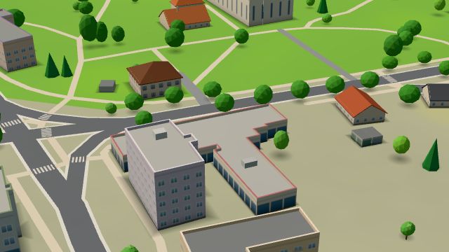 City model
 from OpenStreetMap and ČÚZK data, ODbL -
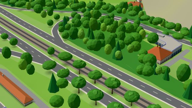 City model
 from OpenStreetMap and ČÚZK data, ODbL -
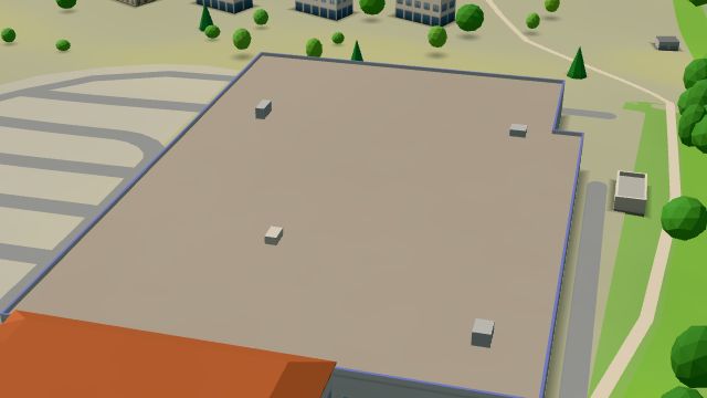 City model
 from OpenStreetMap and ČÚZK data, ODbL Hornbach
Open · closes at 20:00
-
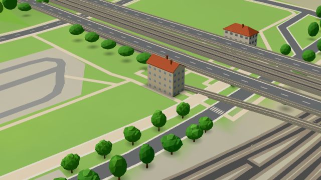 City model
 from OpenStreetMap and ČÚZK data, ODbL Horák
Closed · opens at 8:00
-
 City model
 from OpenStreetMap and ČÚZK data, ODbL -
 City model
 from OpenStreetMap and ČÚZK data, ODbL
What is here
- Shops 21
- Services 13
- Restaurants 7
- Health 7
- Schools 7
- Landmarks 6
- Parks and nature 6
- Sport 4
- Cafés 2
- Culture 1
- Wellness 1
- Car repair and tyres 5
- Groceries and supermarkets 4
- Nursery schools 4
- Doctors 3
- Primary schools 3
- Fast food 3
- Dentists 2
- Electronics and phones 2
- Car dealers 2
- Travel agencies 2
- Gifts and souvenirs 2
- Petrol stations 2
- Churches 2
- Tobacconists 2
- Clothes and fashion 1
- Beauty and nails 1
- Gyms 1
- Hairdressers and barbers 1
- Physiotherapy 1
- Furniture and home 1
- Pharmacies 1
- Bakeries 1
- Hardware and DIY 1
- Cakes and ice cream 1
- Drugstores 1
- Bikes 1
- Post offices 1
- Wine and drinks 1
- Libraries 1
- Art and music schools 1
- Vets 1