


Pardubice VII
Businesses and places in Pardubice VII, Pardubice: 255 places.
Results
-
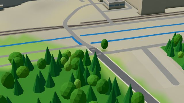 City model
 from OpenStreetMap and ČÚZK data, ODbL -
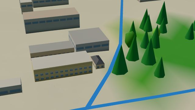 City model
 from OpenStreetMap and ČÚZK data, ODbL -
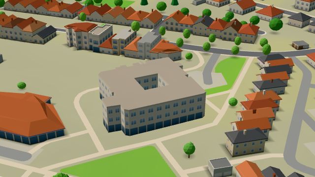 City model
 from OpenStreetMap and ČÚZK data, ODbL -
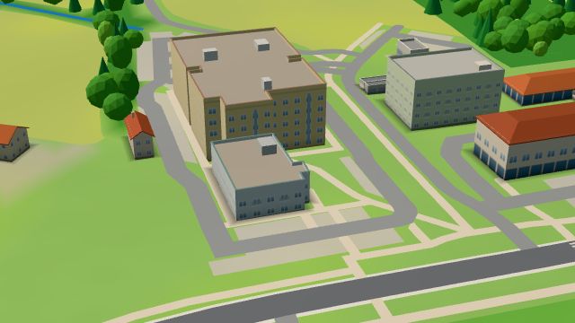 City model
 from OpenStreetMap and ČÚZK data, ODbL -
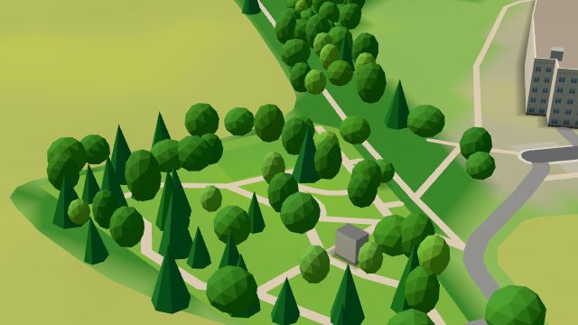 City model
 from OpenStreetMap and ČÚZK data, ODbL -
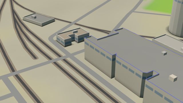 City model
 from OpenStreetMap and ČÚZK data, ODbL -
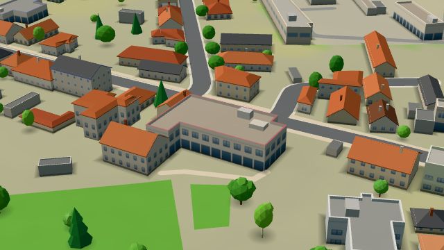 City model
 from OpenStreetMap and ČÚZK data, ODbL -
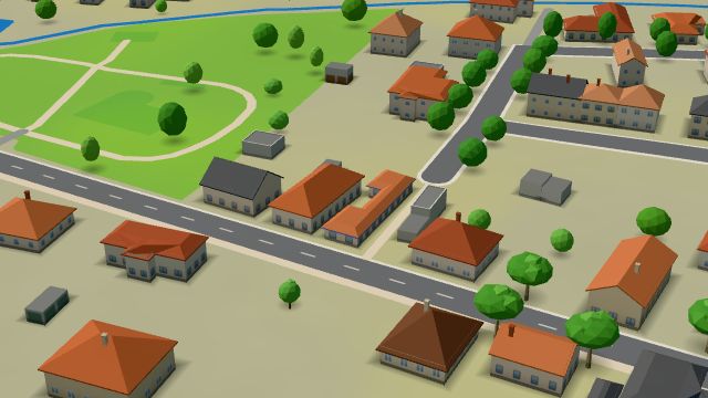 City model
 from OpenStreetMap and ČÚZK data, ODbL -
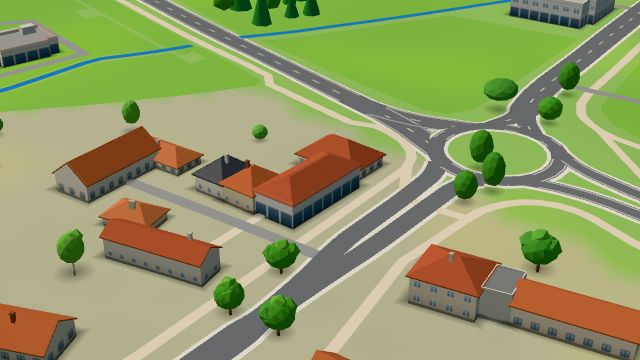 City model
 from OpenStreetMap and ČÚZK data, ODbL -
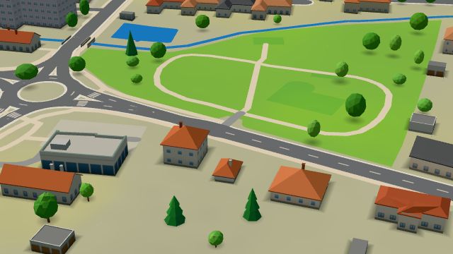 City model
 from OpenStreetMap and ČÚZK data, ODbL -
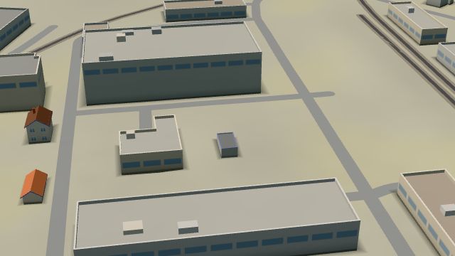 City model
 from OpenStreetMap and ČÚZK data, ODbL -
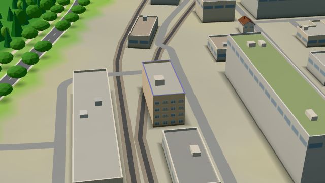 City model
 from OpenStreetMap and ČÚZK data, ODbL -
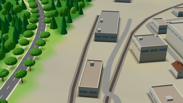 City model
 from OpenStreetMap and ČÚZK data, ODbL -
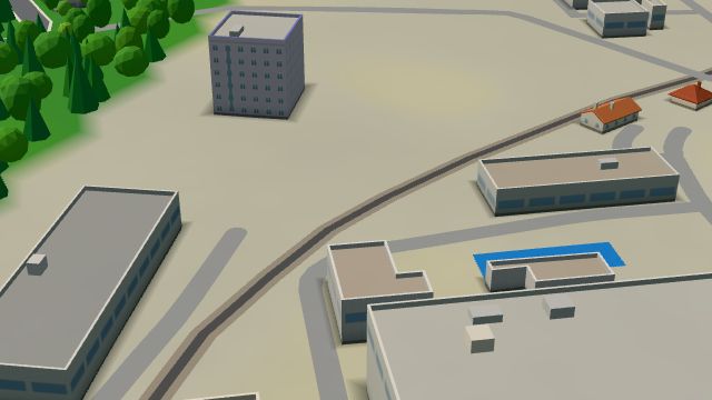 City model
 from OpenStreetMap and ČÚZK data, ODbL -
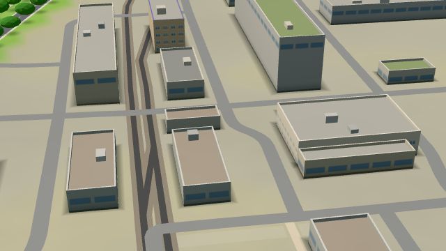 City model
 from OpenStreetMap and ČÚZK data, ODbL -
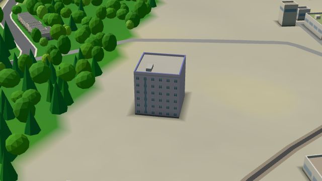 City model
 from OpenStreetMap and ČÚZK data, ODbL -
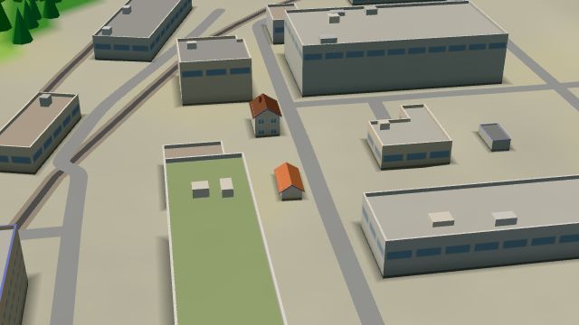 City model
 from OpenStreetMap and ČÚZK data, ODbL -
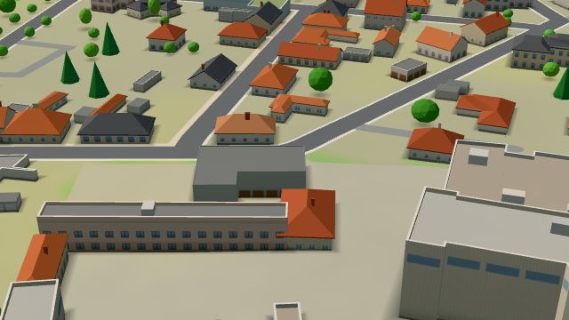 City model
 from OpenStreetMap and ČÚZK data, ODbL -
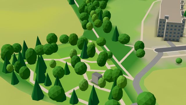 City model
 from OpenStreetMap and ČÚZK data, ODbL -
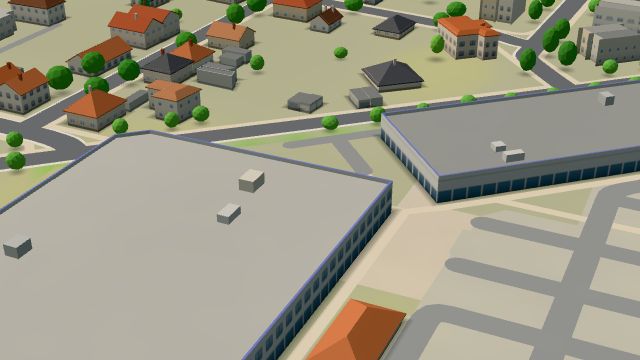 City model
 from OpenStreetMap and ČÚZK data, ODbL -
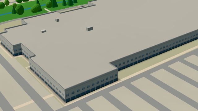 City model
 from OpenStreetMap and ČÚZK data, ODbL -
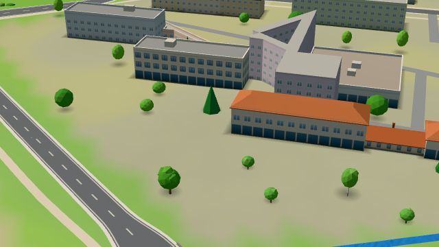 City model
 from OpenStreetMap and ČÚZK data, ODbL -
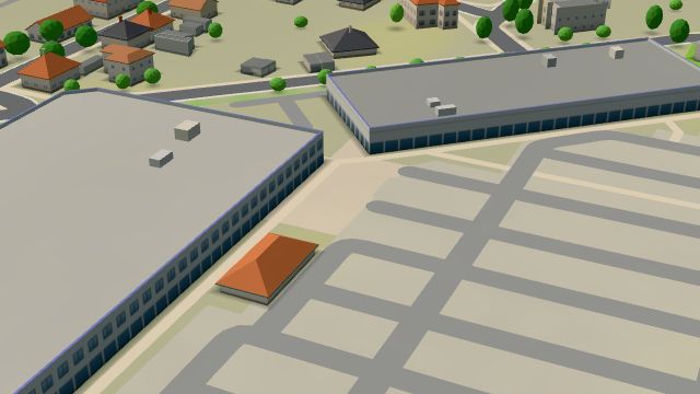 City model
 from OpenStreetMap and ČÚZK data, ODbL -
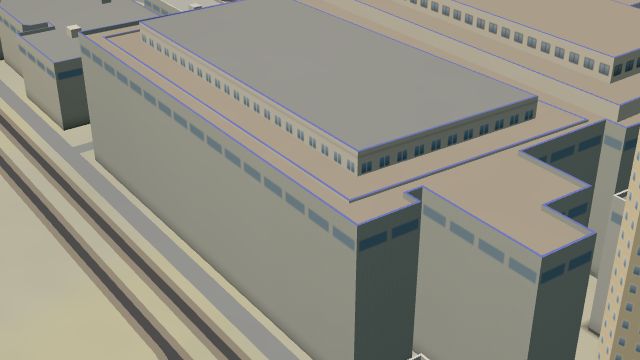 City model
 from OpenStreetMap and ČÚZK data, ODbL
What is here
- Shops 112
- Health 62
- Services 26
- Restaurants 10
- Landmarks 10
- Cafés 7
- Schools 6
- Wellness 6
- Sport 5
- Parks and nature 4
- Culture 3
- Bars and pubs 2
- Accommodation 2
- Doctors 37
- Dentists 11
- Car repair and tyres 8
- Groceries and supermarkets 7
- Clothes and fashion 6
- Electronics and phones 6
- Furniture and home 6
- Beauty and nails 5
- Pharmacies 5
- Fast food 4
- Primary schools 4
- Car dealers 4
- Petrol stations 4
- Car washes 4
- Nursery schools 3
- Physiotherapy 3
- Cakes and ice cream 3
- Tobacconists 3
- Hardware and DIY 3
- Hospitals and clinics 3
- Drugstores 3
- Hairdressers and barbers 2
- Gyms 2
- Gifts and souvenirs 2
- Flowers 2
- Museums and galleries 2
- Pets 2
- Italian food 2
- Pizza 2
- Shoes 2
- Vets 2
- Burgers 2
- Blood tests 2
- Toys 2
- Massage 1
- Travel agencies 1
- Banks and cash 1
- Opticians 1
- Bakeries 1
- Wine and drinks 1
- Bikes 1
- Driving schools 1
- Churches 1
- Libraries 1
- Post offices 1