


Praha-Březiněves
Businesses and places in Praha-Březiněves, Praha: 24 places.
Březiněves is a small district on the northern edge of Prague, a village first recorded in the 12th century whose name comes from Březina ves; it was independent until it joined the city in 1974 and borders Dolní Chabry. Today it is a village-like quarter with an old core and newer housing, a recreational pond used for swimming in summer, playgrounds and sports pitches, and an active community of firefighters, anglers and the local sports club.
Results
-
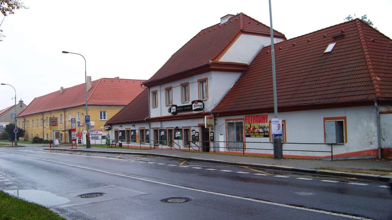
Photo: ŠJů, CC BY 4.0 Trattoria Famiglia
Closed · opens at 11:00
-
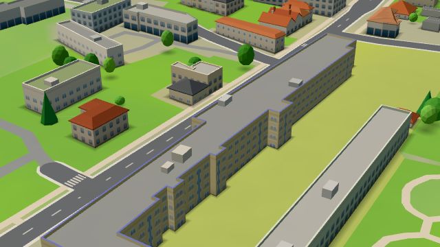 City model
 from OpenStreetMap and ČÚZK data, ODbL Crussis elektrokola
Open · closes at 18:00
-
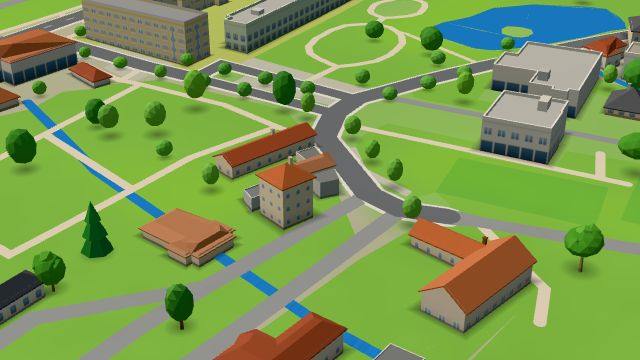 City model
 from OpenStreetMap and ČÚZK data, ODbL -
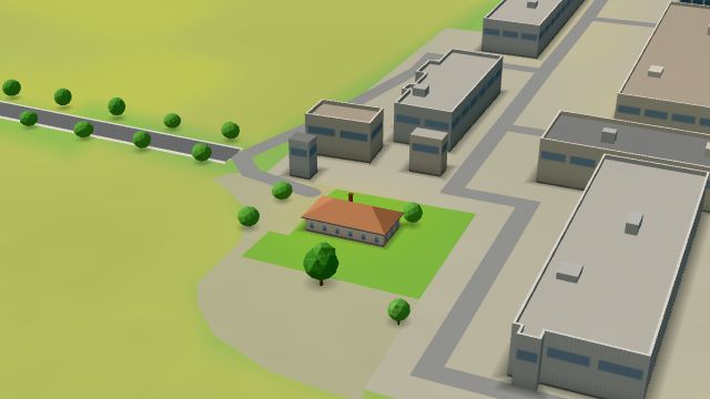 City model
 from OpenStreetMap and ČÚZK data, ODbL -
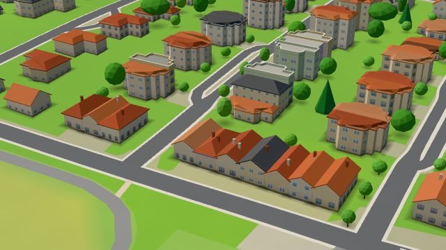 City model
 from OpenStreetMap and ČÚZK data, ODbL -
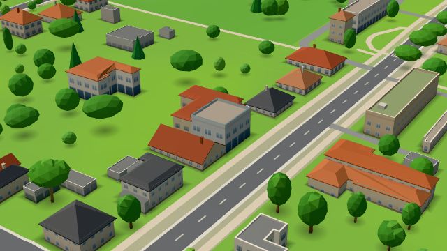 City model
 from OpenStreetMap and ČÚZK data, ODbL -
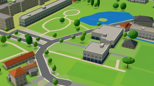 City model
 from OpenStreetMap and ČÚZK data, ODbL -
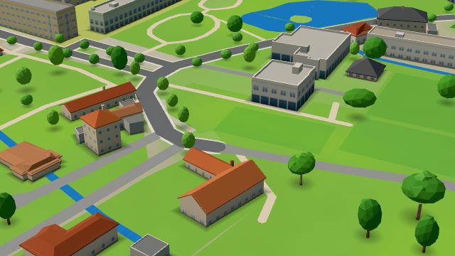 City model
 from OpenStreetMap and ČÚZK data, ODbL -
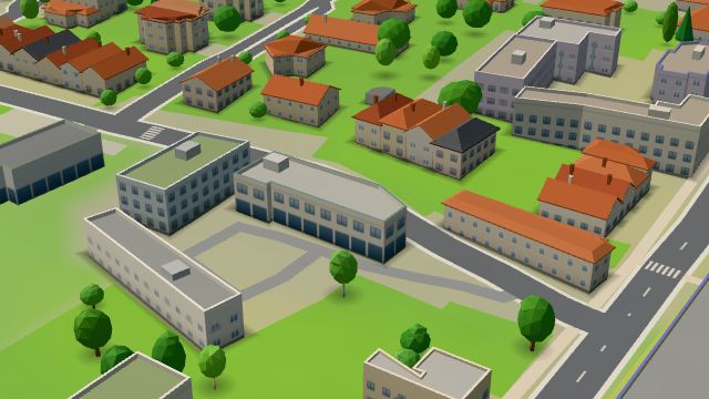 City model
 from OpenStreetMap and ČÚZK data, ODbL -
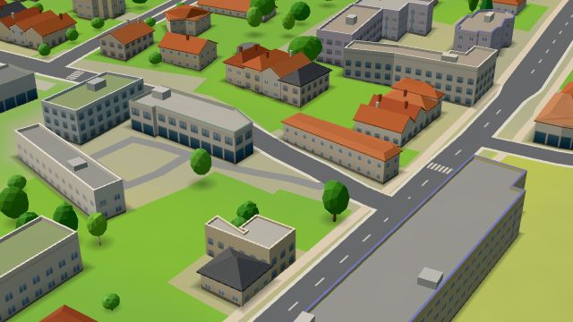 City model
 from OpenStreetMap and ČÚZK data, ODbL -
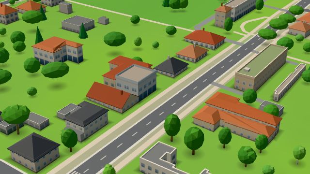 City model
 from OpenStreetMap and ČÚZK data, ODbL -
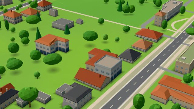 City model
 from OpenStreetMap and ČÚZK data, ODbL -
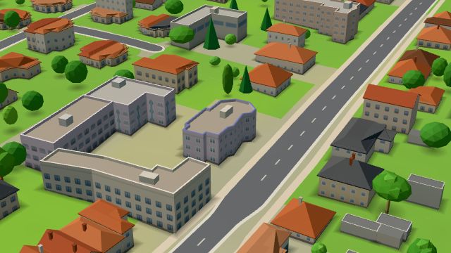 City model
 from OpenStreetMap and ČÚZK data, ODbL -
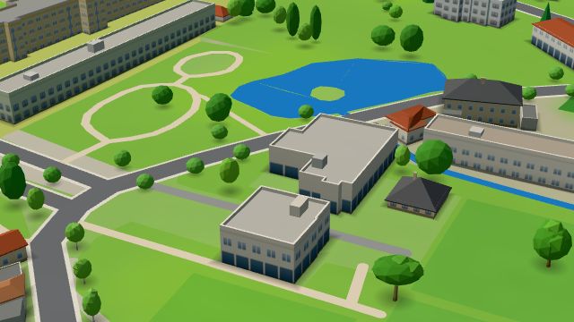 City model
 from OpenStreetMap and ČÚZK data, ODbL -
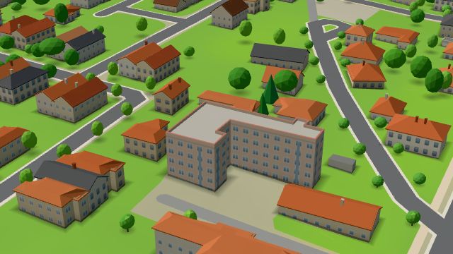 City model
 from OpenStreetMap and ČÚZK data, ODbL -
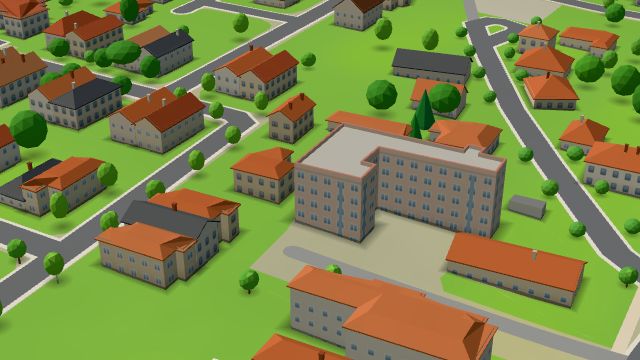 City model
 from OpenStreetMap and ČÚZK data, ODbL -
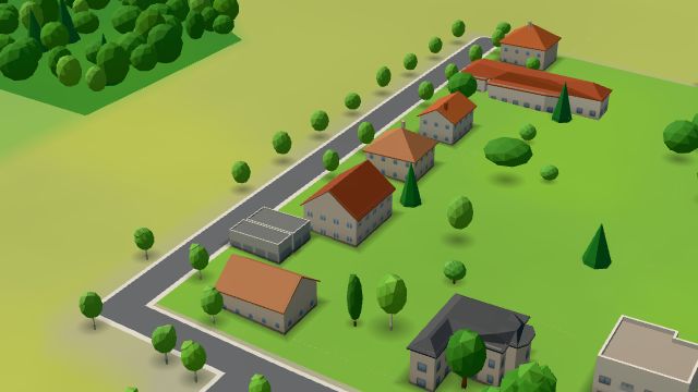 City model
 from OpenStreetMap and ČÚZK data, ODbL -
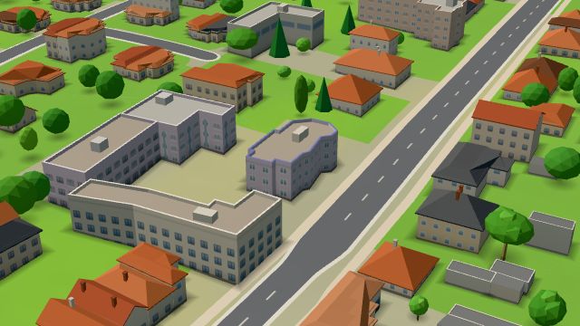 City model
 from OpenStreetMap and ČÚZK data, ODbL -
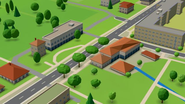 City model
 from OpenStreetMap and ČÚZK data, ODbL -
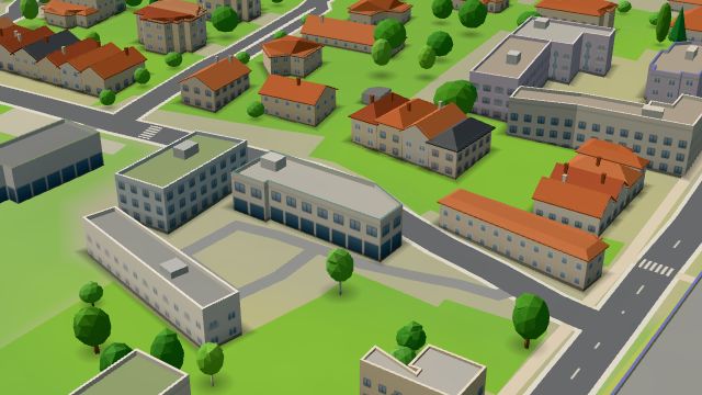 City model
 from OpenStreetMap and ČÚZK data, ODbL -
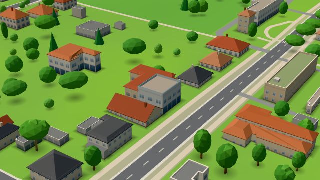 City model
 from OpenStreetMap and ČÚZK data, ODbL -
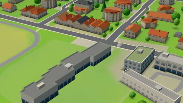 City model
 from OpenStreetMap and ČÚZK data, ODbL -
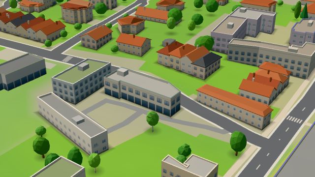 City model
 from OpenStreetMap and ČÚZK data, ODbL -
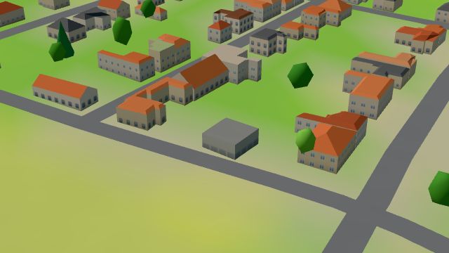 City model
 from OpenStreetMap and ČÚZK data, ODbL