


Praha-Dolní Počernice
Businesses and places in Praha-Dolní Počernice, Praha: 80 places.
Dolní Počernice lies in the east of Prague in the Prague 14 administrative district; the village, recorded from 1323, became part of the city in 1974. Českobrodská street, the Prague to Kolín road, divides it in two, and the Praha-Dolní Počernice halt on the Kolín railway is the quickest link to the centre. The historic core is the Dolní Počernice chateau with its park, the church of the Assumption from around 1200 and the old mill; around it lie the Počernický rybník and Xaverovský háj nature monuments and the V Pískovně nature reserve.
Results
-
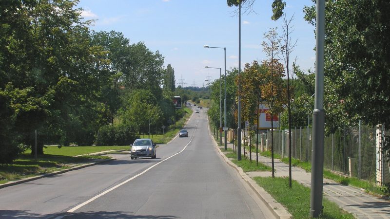
Photo: Czech Wikipedia user Packa, CC BY-SA 2.5 -
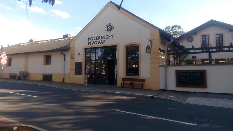
Photo: Michal Lenc, CC BY-SA 4.0 Počernický pivovar
Open · closes at midnight
-
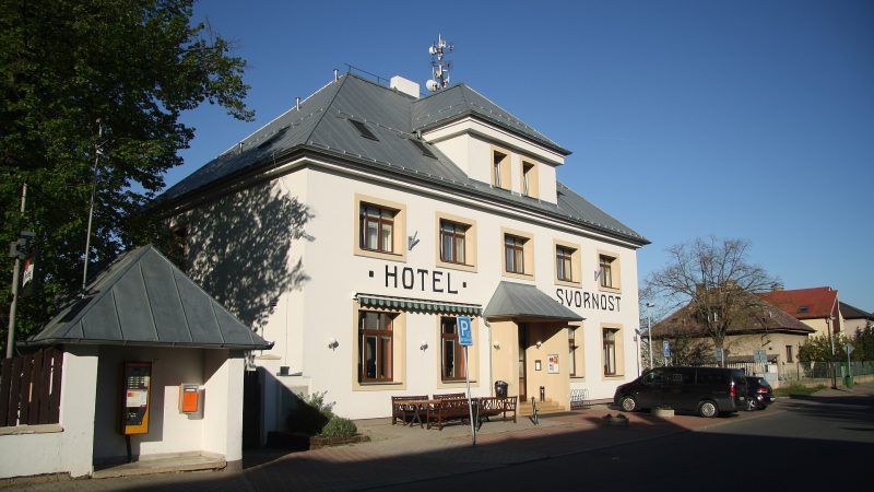
Photo: Jiří Sedláček, CC BY-SA 4.0 -
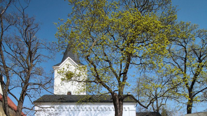
Photo: VitVit, CC BY-SA 4.0 -
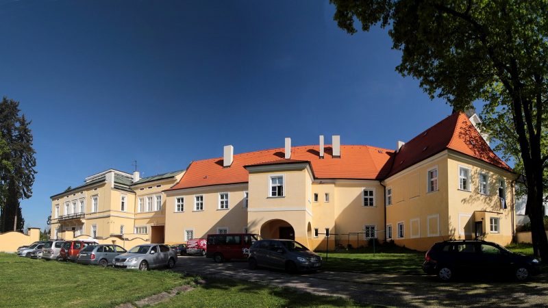
Photo: VitVit, CC BY-SA 4.0 -
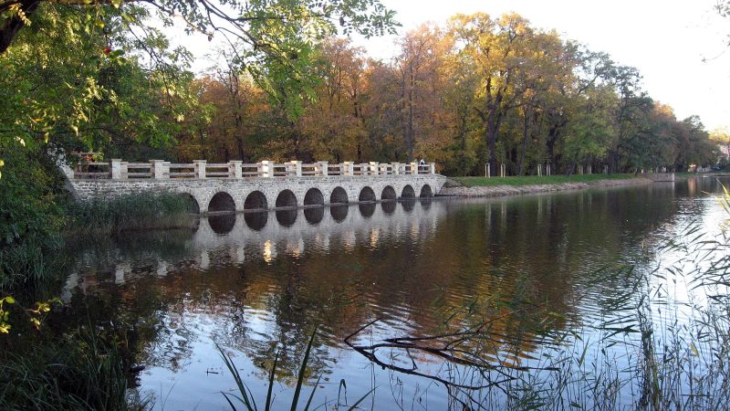
Photo: Dezidor, CC BY 3.0 -
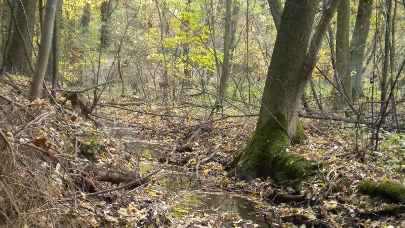
Photo: Novotte, CC BY-SA 3.0 -
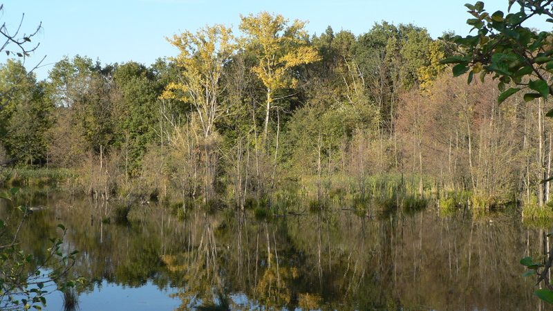
Photo: Lovecz, Public domain -
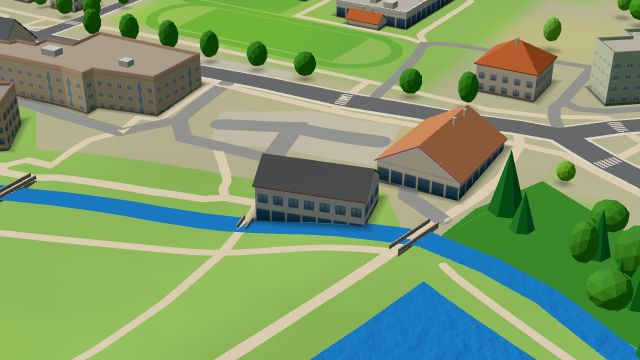 City model
 from OpenStreetMap and ČÚZK data, ODbL Al Mulino
Open · closes at midnight
-
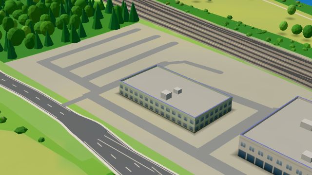 City model
 from OpenStreetMap and ČÚZK data, ODbL Car Star Praha
Open · closes at 18:00
-
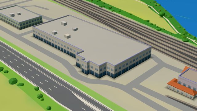 City model
 from OpenStreetMap and ČÚZK data, ODbL Hyundai Centrum Praha
Open · closes at 19:00
-
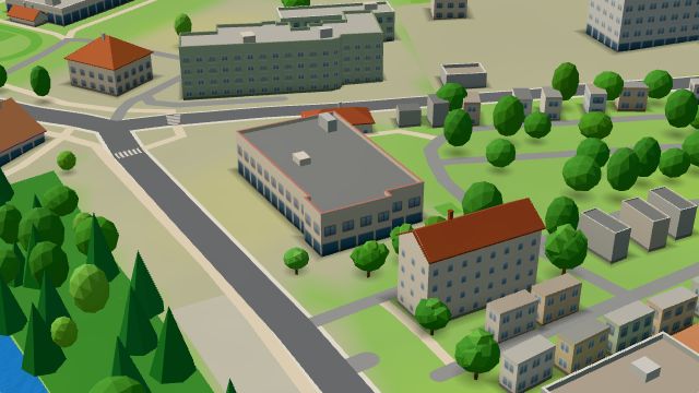 City model
 from OpenStreetMap and ČÚZK data, ODbL Na Kempu
Open · closes at 23:00
-
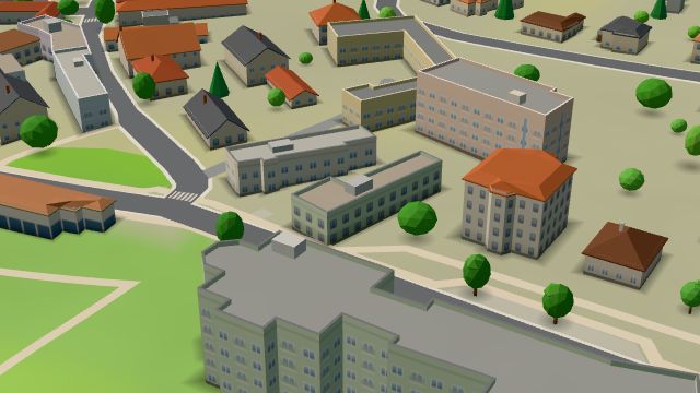 City model
 from OpenStreetMap and ČÚZK data, ODbL Pošta Praha 912
Closed · opens tomorrow at 8:00
-
 City model
 from OpenStreetMap and ČÚZK data, ODbL -
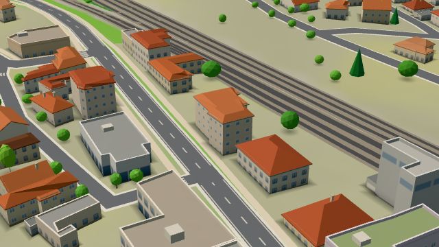 City model
 from OpenStreetMap and ČÚZK data, ODbL Lékárna v Dolních Počernicích
Open · closes at 16:00
-
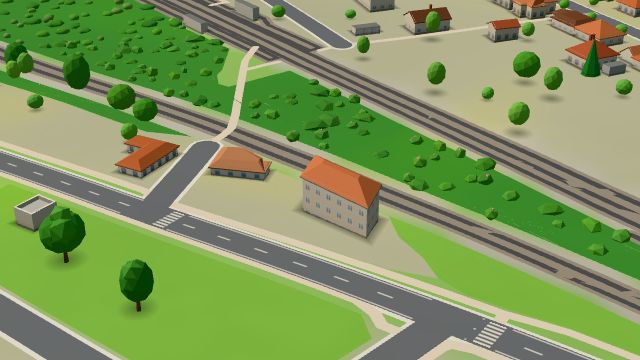 City model
 from OpenStreetMap and ČÚZK data, ODbL -
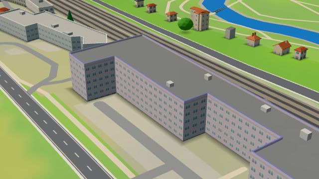 City model
 from OpenStreetMap and ČÚZK data, ODbL Akvazoo
Open · closes at 20:00
-
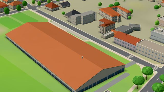 City model
 from OpenStreetMap and ČÚZK data, ODbL -
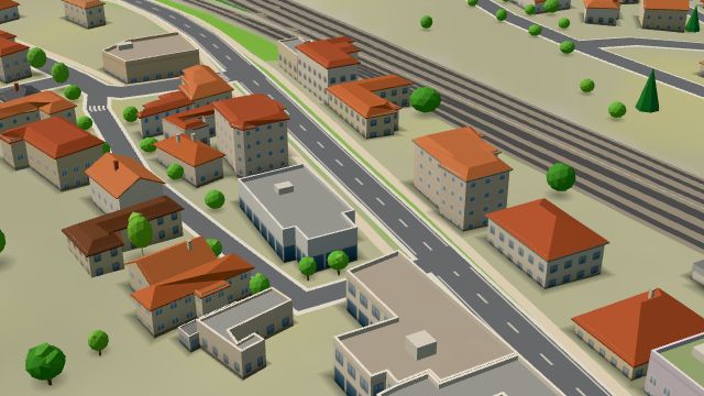 City model
 from OpenStreetMap and ČÚZK data, ODbL -
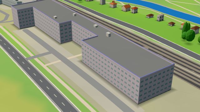 City model
 from OpenStreetMap and ČÚZK data, ODbL Billa
Open · closes at 21:00
-
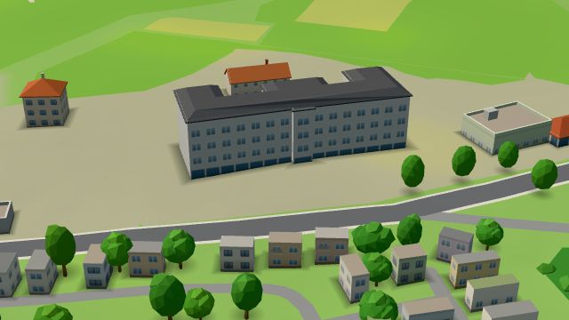 City model
 from OpenStreetMap and ČÚZK data, ODbL -
 City model
 from OpenStreetMap and ČÚZK data, ODbL -
 City model
 from OpenStreetMap and ČÚZK data, ODbL -
 City model
 from OpenStreetMap and ČÚZK data, ODbL
What is here
- Shops 20
- Services 11
- Restaurants 8
- Schools 7
- Health 6
- Accommodation 6
- Bars and pubs 4
- Landmarks 4
- Parks and nature 4
- Sport 4
- Culture 3
- Wellness 2
- Cafés 1
- Car dealers 8
- Car repair and tyres 5
- Doctors 4
- Groceries and supermarkets 3
- Nursery schools 3
- Primary schools 3
- Beauty and nails 2
- Clothes and fashion 2
- Gyms 2
- Museums and galleries 2
- Breweries 2
- Hairdressers and barbers 1
- Fast food 1
- Furniture and home 1
- Physiotherapy 1
- Travel agencies 1
- Czech food 1
- Italian food 1
- Pharmacies 1
- Wine and drinks 1
- Pizza 1
- Churches 1
- Drugstores 1
- Pets 1
- Petrol stations 1
- Theatres 1
- Post offices 1