


Praha-Klánovice
Businesses and places in Praha-Klánovice, Praha: 77 places.
Klánovice lies at the eastern limit of Prague; founded by Václav Klán in 1878, it became a municipality in 1920 and part of the city in 1974. In the 1920s and 1930s it was a spa resort for Prague society, and today it is a sought-after place to live among the woods. The Klánovice forest, the largest continuous woodland in Prague, bounds it on two sides, and Praha-Klánovice station on the Kolín line is half an hour from the centre. Slavětínská, the main avenue, is lined with lindens, and a Lípa republiky grows by the church of the Assumption.
Results
-
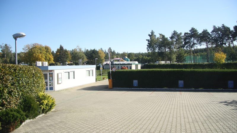
Photo: Jiří Sedláček, CC BY-SA 4.0 -
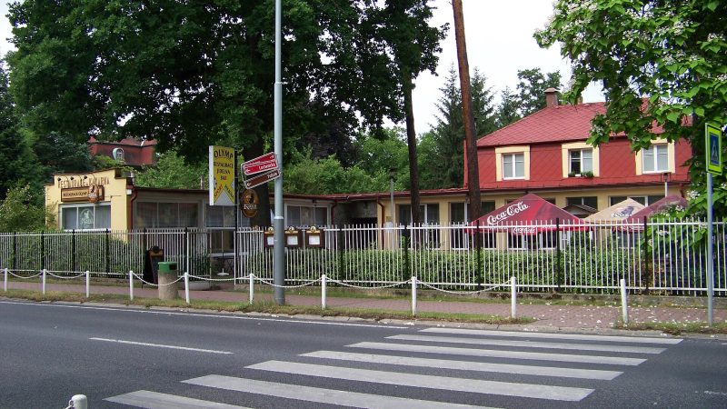
Photo: ŠJů (cs:ŠJů), CC BY-SA 3.0 Ha Long
Closed · opens at 11:00
-
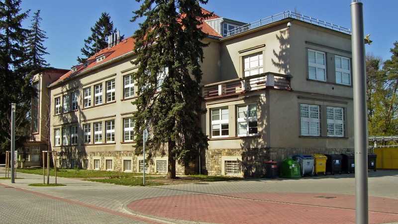
Photo: Petr Vilgus, CC BY 2.5 -
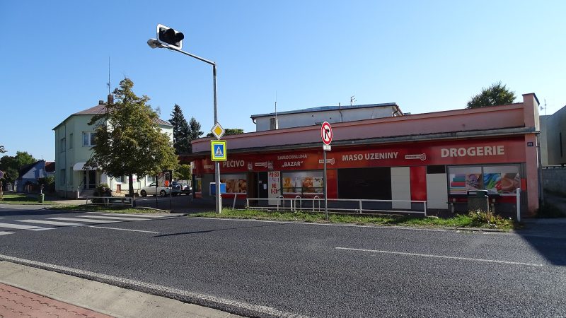
Photo: ŠJů, CC BY 4.0 Bazar
Closed · opens at 11:00
-
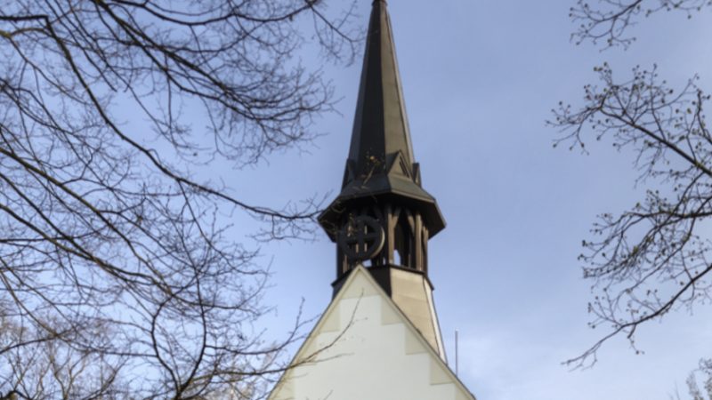
Photo: Lupinus, CC BY-SA 3.0 -
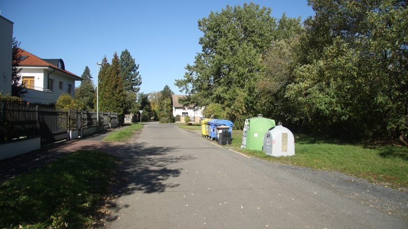
Photo: Jiří Sedláček, CC BY-SA 4.0 -
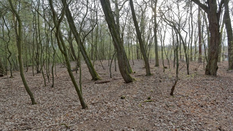
Photo: Gampe, CC BY-SA 4.0 -
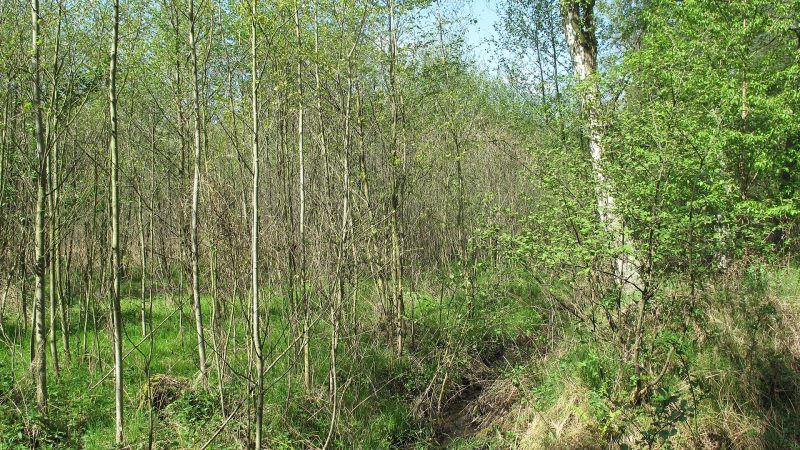
Photo: Dezidor, CC BY 3.0 -
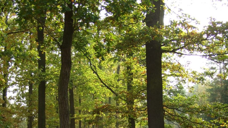
Photo: I would appreciate being notified if you use my work outside Wikimedia. More of my work can be found in my personal gallery., CC BY-SA 3.0 -
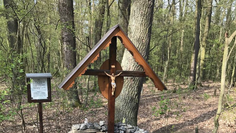
Photo: Jiří Sedláček, CC BY-SA 4.0 -
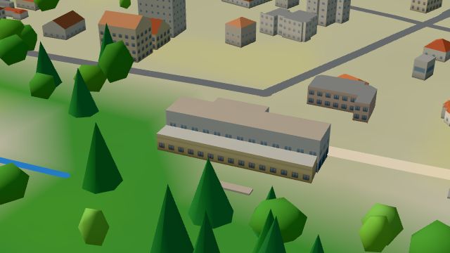 City model
 from OpenStreetMap and ČÚZK data, ODbL Café Bazar
Open · closes at 18:00
-
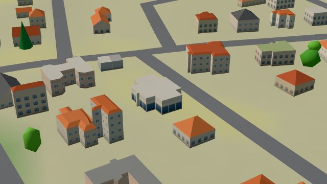 City model
 from OpenStreetMap and ČÚZK data, ODbL Hadoti
Closed · opens at 11:00
-
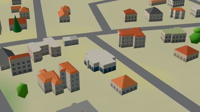 City model
 from OpenStreetMap and ČÚZK data, ODbL Katalpa
Closed · opens at 11:00
-
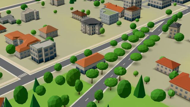 City model
 from OpenStreetMap and ČÚZK data, ODbL -
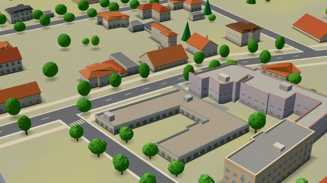 City model
 from OpenStreetMap and ČÚZK data, ODbL Mediexpert
Open · closes at 19:00
-
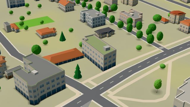 City model
 from OpenStreetMap and ČÚZK data, ODbL Pošta Praha 914
Closed · opens at 10:00
-
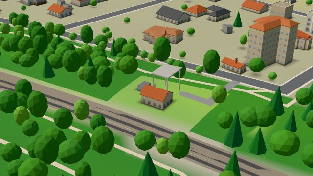 City model
 from OpenStreetMap and ČÚZK data, ODbL Hospoda U lesa
Closed · opens at 16:00
-
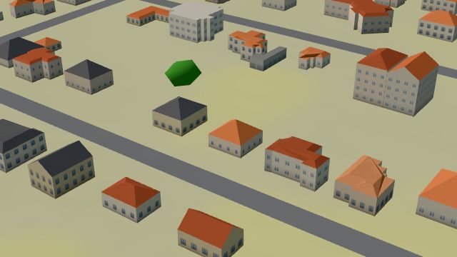 City model
 from OpenStreetMap and ČÚZK data, ODbL -
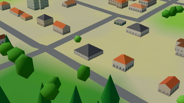 City model
 from OpenStreetMap and ČÚZK data, ODbL -
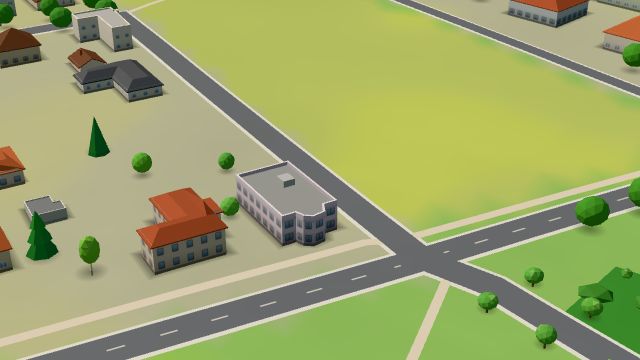 City model
 from OpenStreetMap and ČÚZK data, ODbL -
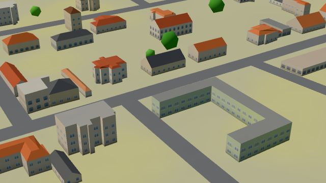 City model
 from OpenStreetMap and ČÚZK data, ODbL -
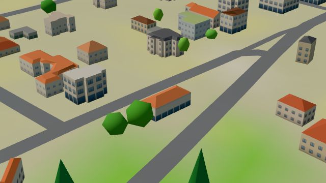 City model
 from OpenStreetMap and ČÚZK data, ODbL -
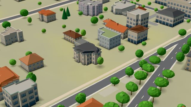 City model
 from OpenStreetMap and ČÚZK data, ODbL -
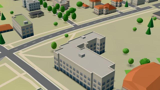 City model
 from OpenStreetMap and ČÚZK data, ODbL
What is here
- Health 22
- Shops 12
- Restaurants 9
- Schools 8
- Sport 6
- Bars and pubs 4
- Landmarks 4
- Parks and nature 4
- Services 3
- Culture 2
- Cafés 1
- Accommodation 1
- Wellness 1
- Doctors 14
- Groceries and supermarkets 5
- Dentists 4
- Gyms 4
- Clothes and fashion 3
- Nursery schools 3
- Hospitals and clinics 3
- Primary schools 3
- Fast food 2
- Italian food 2
- Pharmacies 2
- Language schools 2
- Beauty and nails 1
- Hairdressers and barbers 1
- Travel agencies 1
- Flowers 1
- Car dealers 1
- Secondary schools 1
- Breweries 1
- Pizza 1
- Churches 1
- Pets 1
- Libraries 1
- Bikes 1
- Burgers 1
- Blood tests 1
- Post offices 1