


Praha-Kolovraty
Businesses and places in Praha-Kolovraty, Praha: 48 places.
Praha-Kolovraty lies on the south-eastern edge of Prague and is made up of the cadastral areas of Kolovraty and Lipany, the latter a hamlet of Kolovraty since at least 1869. The district continues the former municipality of Kolovraty, and state administration is handled by Prague 22 in Uhříněves. Its coat of arms carries the old arms of the lords of Kolowrat. Visitors find the church of St Andrew and an information centre with a library.
Results
-
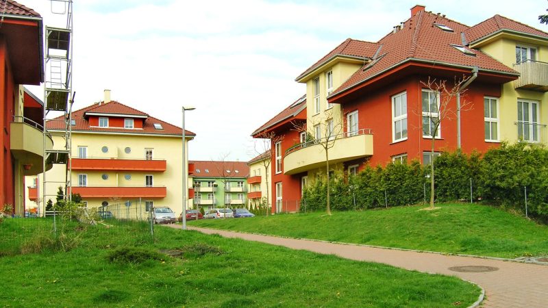
Photo: Czech Wikipedia user Packa, CC BY-SA 3.0 Úřad městké části Praha-Kolovraty
Open · closes at 12:00
-
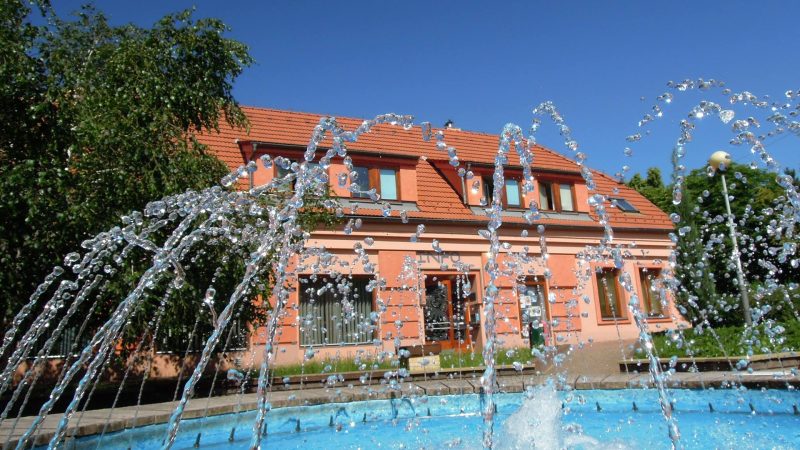
Photo: Knihovna s infocentrem, CC BY-SA 4.0 Infocentrum s knihovnou
Closed · opens at 13:00
-
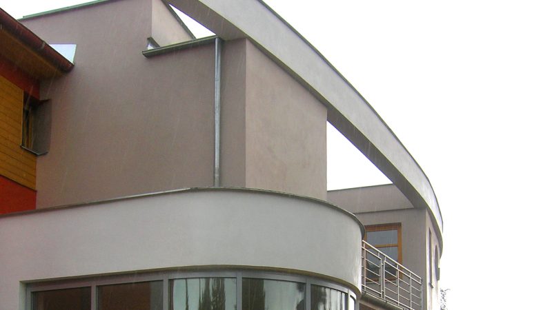
Photo: Czech Wikipedia user Packa, CC BY-SA 2.5 Pošta Praha 113
Closed · opens at 10:00
-
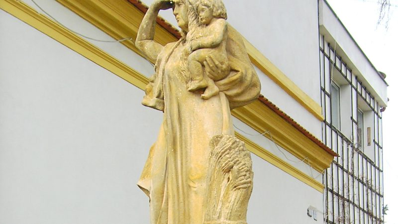
Photo: Czech Wikipedia user Packa, CC BY-SA 3.0 -
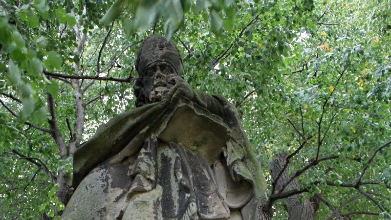
Photo: Jnh, CC BY-SA 3.0 -
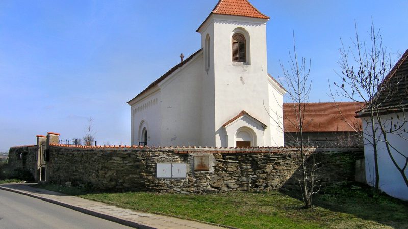
Photo: Czech Wikipedia user Packa, CC BY-SA 2.5 -
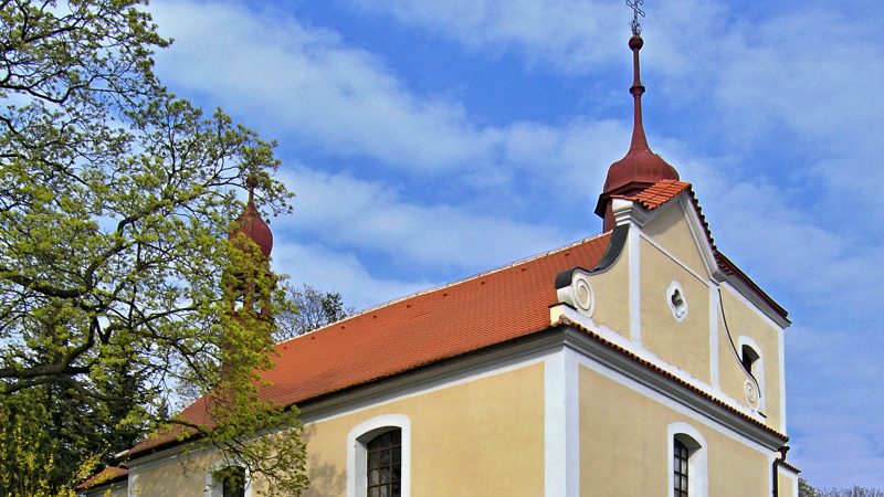
Photo: Pavel Hrdlička (Czech Wikipedia user Packa), CC BY-SA 3.0 -
 City model
 from OpenStreetMap and ČÚZK data, ODbL Fit Studio Kolovraty
Open · closes at 10:30
-
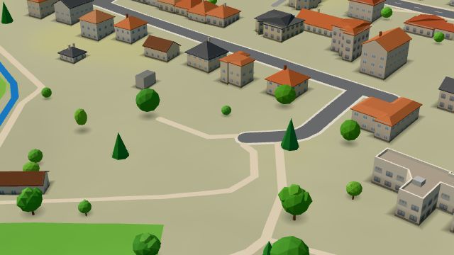 City model
 from OpenStreetMap and ČÚZK data, ODbL -
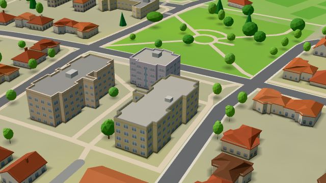 City model
 from OpenStreetMap and ČÚZK data, ODbL Violette studio - kadeřnictví
Open · closes at 19:00
-
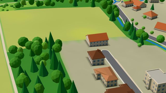 City model
 from OpenStreetMap and ČÚZK data, ODbL -
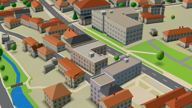 City model
 from OpenStreetMap and ČÚZK data, ODbL Autoservis Daniel Král
Open · closes at 17:00
-
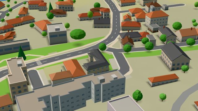 City model
 from OpenStreetMap and ČÚZK data, ODbL -
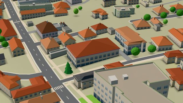 City model
 from OpenStreetMap and ČÚZK data, ODbL -
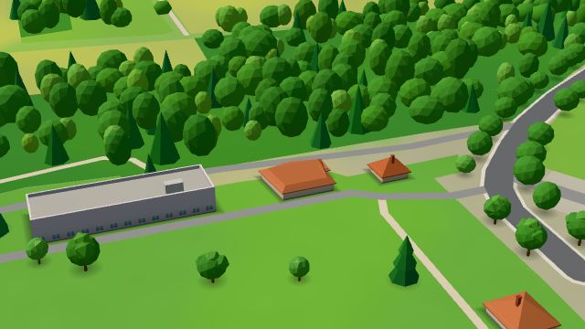 City model
 from OpenStreetMap and ČÚZK data, ODbL Hospůdka Na Hřišti
Closed · opens at 18:00
-
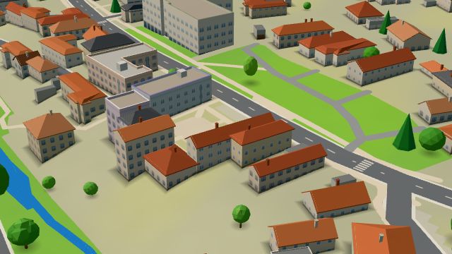 City model
 from OpenStreetMap and ČÚZK data, ODbL Hudební nástroje, oprava a prodejna - Petr Zejfart
Closed · opens at 10:00
-
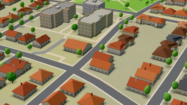 City model
 from OpenStreetMap and ČÚZK data, ODbL -
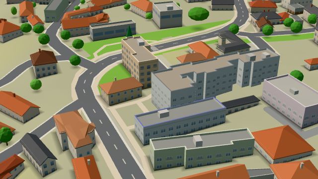 City model
 from OpenStreetMap and ČÚZK data, ODbL Kadeřnictví
Open · closes at 13:00
-
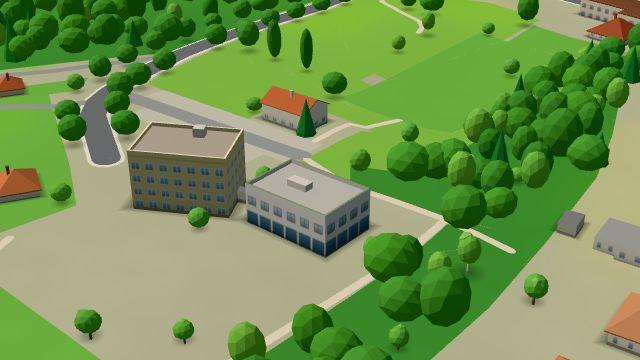 City model
 from OpenStreetMap and ČÚZK data, ODbL -
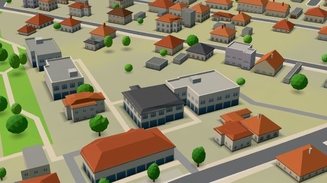 City model
 from OpenStreetMap and ČÚZK data, ODbL -
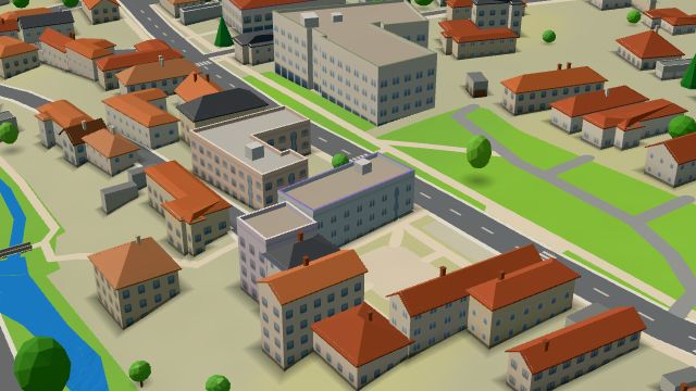 City model
 from OpenStreetMap and ČÚZK data, ODbL -
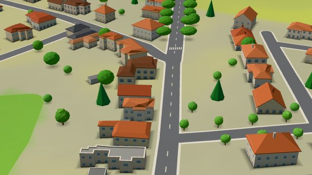 City model
 from OpenStreetMap and ČÚZK data, ODbL -
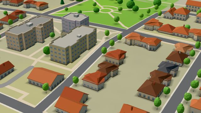 City model
 from OpenStreetMap and ČÚZK data, ODbL -
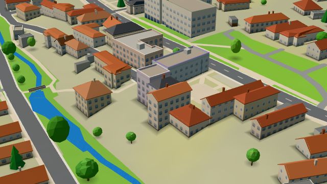 City model
 from OpenStreetMap and ČÚZK data, ODbL
What is here
- Schools 10
- Shops 8
- Landmarks 6
- Health 5
- Services 4
- Wellness 4
- Bars and pubs 3
- Sport 3
- Restaurants 2
- Culture 2
- Accommodation 1
- Doctors 4
- Beauty and nails 4
- Nursery schools 3
- Flowers 3
- Primary schools 3
- Groceries and supermarkets 2
- Hairdressers and barbers 2
- Secondary schools 2
- Churches 2
- Libraries 2
- Dentists 1
- Gyms 1
- Car repair and tyres 1
- Furniture and home 1
- Czech food 1
- Wine and drinks 1
- Music 1
- Post offices 1
- Art and music schools 1