


Praha-Libuš
Businesses and places in Praha-Libuš, Praha: 182 places.
Praha-Libuš lies in the south of Prague and consists of two cadastral areas, Libuš and Písnice; state administration is handled by Prague 12 in Modřany. Libuš, a hamlet of Kunratice until 1930, joined Prague in 1968 and Písnice followed in 1974. The first written record is from 1321, when the fort at Libuš passed to Prague citizens, and from the 17th century an inn stood on the road south. Open land along the Kunratická spojka road divides the two parts, and the built-up area south of Výletní street already belongs to Písnice.
Results
-
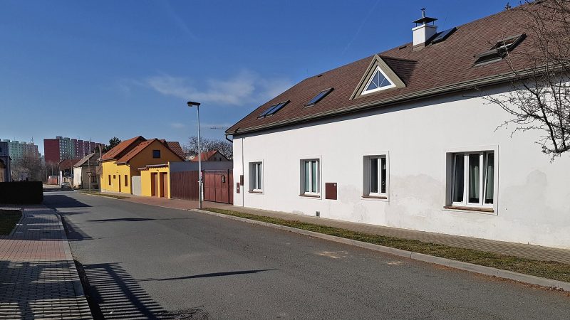
Photo: Pavel Hrdlička (Czech Wikipedia user Packa), CC BY-SA 4.0 Anareus
Closed · opens at 12:00
-
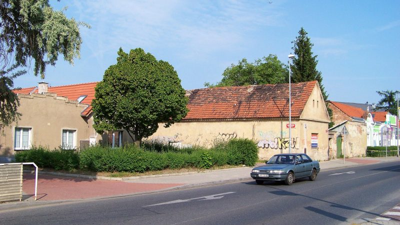
Photo: ŠJů (cs:ŠJů), CC BY-SA 3.0 Mand CZ
Open · closes at 18:00
-
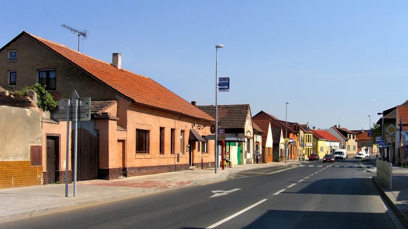
Photo: Czech Wikipedia user Packa, CC BY-SA 2.5 -
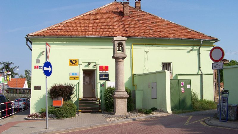
Photo: ŠJů (cs:ŠJů), CC BY-SA 3.0 Pošta Praha 413
Closed · opens at 10:00
-
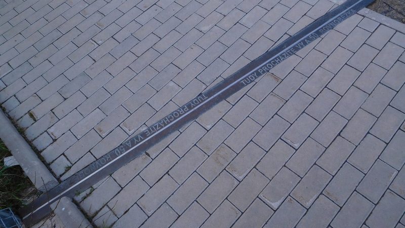
Photo: JiriMatejicek, CC BY-SA 3.0 -
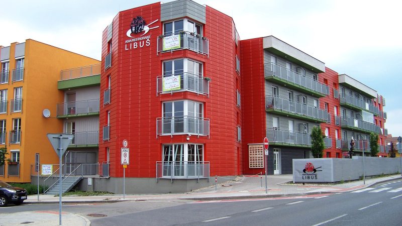
Photo: ŠJů (cs:ŠJů), CC BY-SA 3.0 Asia Restaurant Libuš
Closed · opens at 11:00
-
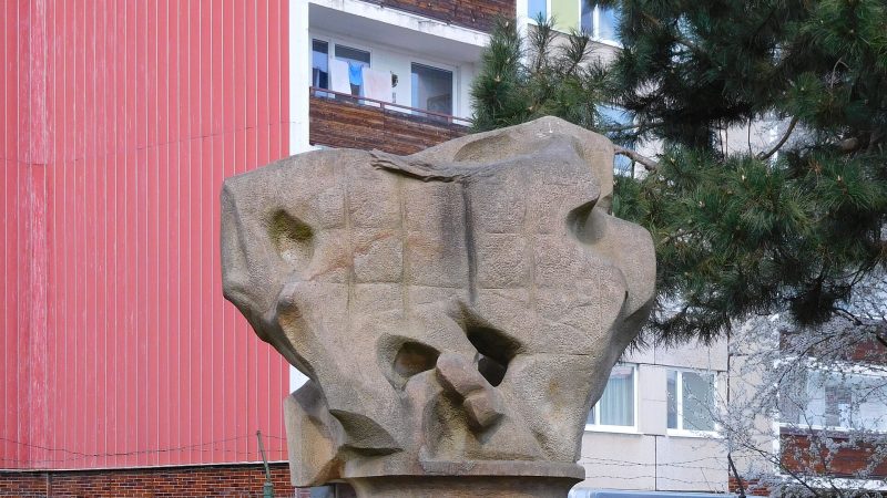
Photo: JiriMatejicek, CC BY-SA 3.0 -
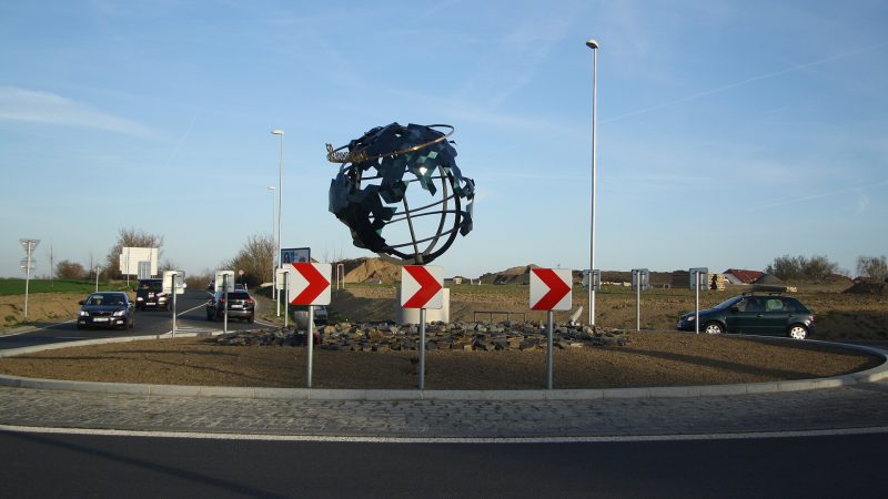
Photo: Jiří Sedláček, CC BY-SA 4.0 -
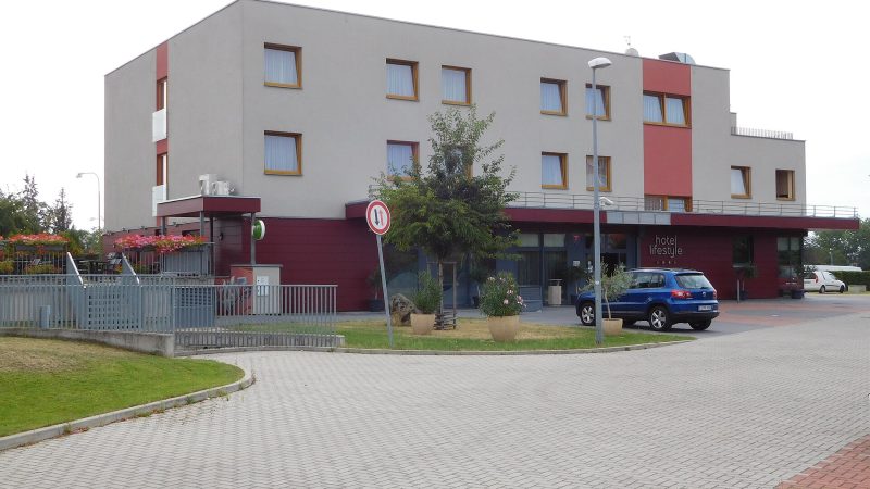
Photo: JiriMatejicek, CC BY-SA 3.0 -
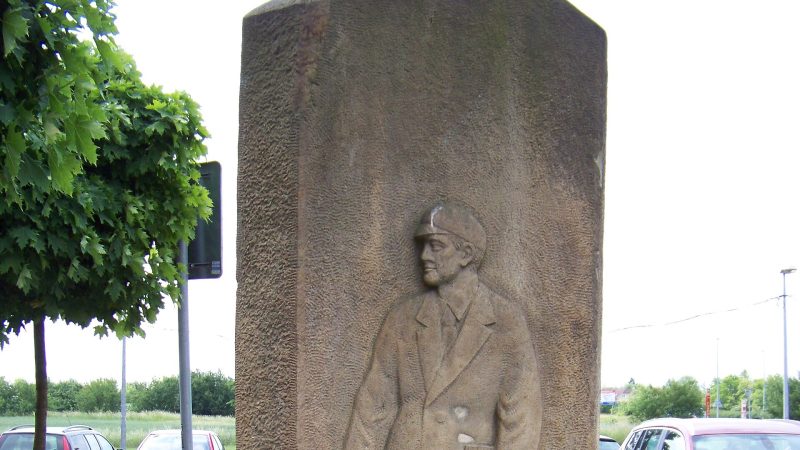
Photo: ŠJů (cs:ŠJů), CC BY-SA 3.0 -
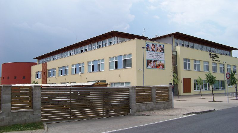
Photo: ŠJů (cs:ŠJů), CC BY-SA 3.0 -
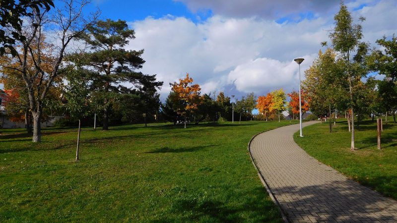
Photo: JiriMatejicek, CC BY-SA 3.0 -
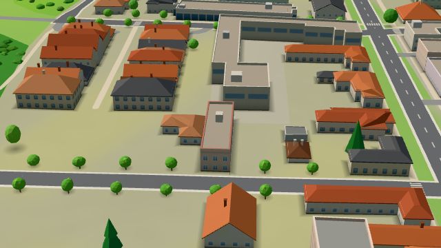 City model
 from OpenStreetMap and ČÚZK data, ODbL Café Restaurant New Fantasy
Closed · opens at 11:00
-
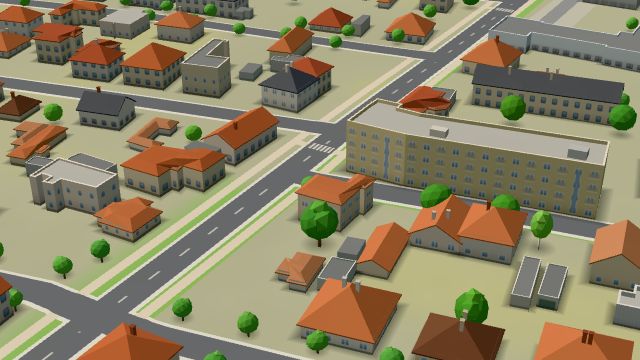 City model
 from OpenStreetMap and ČÚZK data, ODbL Cukrářství Viktoria v Písnici
Open · closes at 18:00
-
 City model
 from OpenStreetMap and ČÚZK data, ODbL INTERMARKET Company
Open · closes at 19:00
-
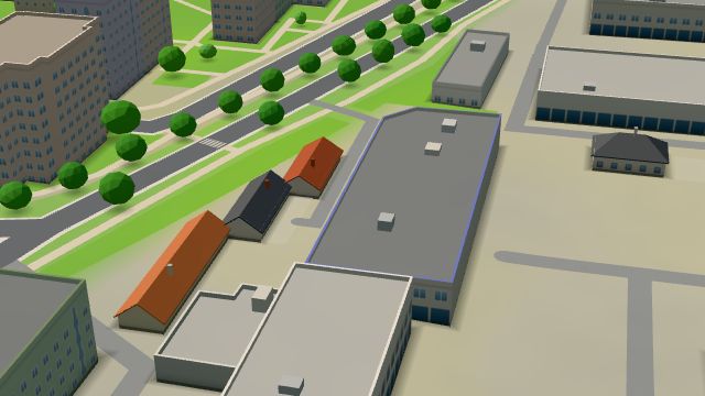 City model
 from OpenStreetMap and ČÚZK data, ODbL Obalove-Materialy.cz
Open · closes at 19:00
-
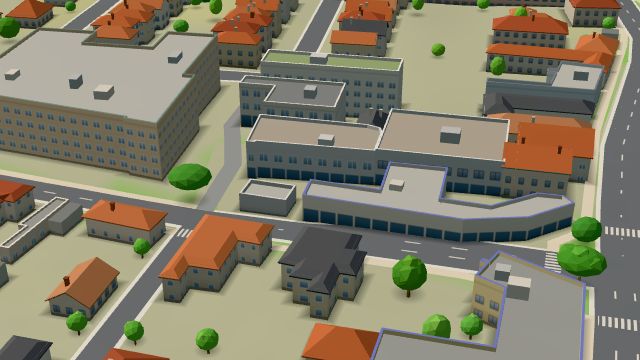 City model
 from OpenStreetMap and ČÚZK data, ODbL PEMAR
Open · closes at 22:00
-
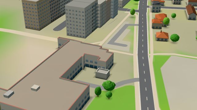 City model
 from OpenStreetMap and ČÚZK data, ODbL Modrá ryba
Closed · opens at 10:00
-
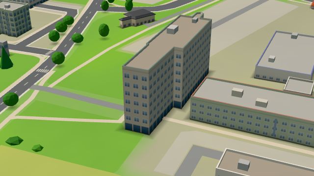 City model
 from OpenStreetMap and ČÚZK data, ODbL Sapa
Open · closes at 17:00
-
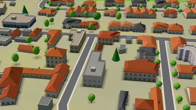 City model
 from OpenStreetMap and ČÚZK data, ODbL -
 City model
 from OpenStreetMap and ČÚZK data, ODbL -
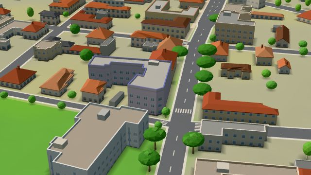 City model
 from OpenStreetMap and ČÚZK data, ODbL -
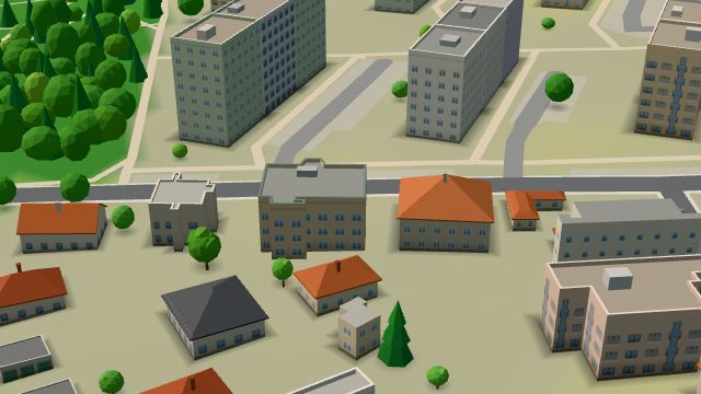 City model
 from OpenStreetMap and ČÚZK data, ODbL -
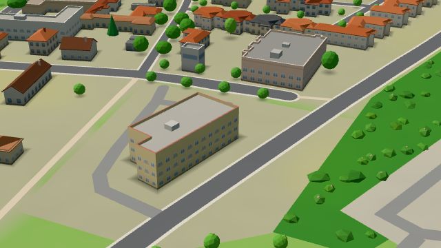 City model
 from OpenStreetMap and ČÚZK data, ODbL
What is here
- Shops 52
- Restaurants 39
- Services 26
- Schools 17
- Health 14
- Wellness 12
- Landmarks 6
- Cafés 4
- Bars and pubs 4
- Accommodation 4
- Sport 3
- Parks and nature 1
- Groceries and supermarkets 16
- Beauty and nails 14
- Doctors 10
- Car repair and tyres 10
- Hairdressers and barbers 9
- Nursery schools 9
- Electronics and phones 7
- Furniture and home 6
- Flowers 5
- Primary schools 4
- Fast food 3
- Hardware and DIY 3
- Vets 3
- Dentists 2
- Gyms 2
- Bakeries 2
- Secondary schools 2
- Clothes and fashion 1
- Hospitals and clinics 1
- Italian food 1
- Books and stationery 1
- Cakes and ice cream 1
- Pharmacies 1
- Banks and cash 1
- Shoes 1
- Pizza 1
- Churches 1
- Nightlife 1
- Bikes 1
- Universities and colleges 1
- Language schools 1
- Tattoo 1
- Music 1
- Shopping centres 1
- Post offices 1