


Praha-Lipence
Businesses and places in Praha-Lipence, Praha: 36 places.
Lipence lies on the right bank of the Berounka in the southernmost tip of Prague, between Zbraslav, Radotín and the Hřebeny woods below Cukrák hill; part of the city since 1974. The village grew in the mid-19th century from Lipenec and Lipany and today also takes in Dolní Černošice and the Kazín cottage colony by the rocky spur. The old village runs along Jílovišťská street and Lipany along Černošická. Wide meadows line the Berounka, a footbridge leads from Dolní Černošice to the station in Černošice, and trails climb to Cukrák.
Results
-
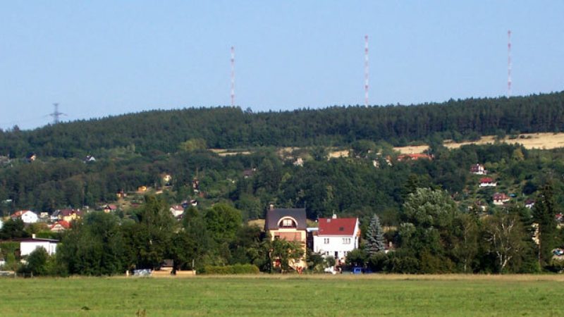
Photo: Mirekk, CC BY 2.5 -
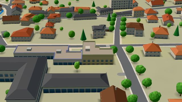 City model
 from OpenStreetMap and ČÚZK data, ODbL Pošta Praha 511
Closed · opens at 10:00
-
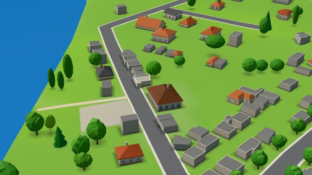 City model
 from OpenStreetMap and ČÚZK data, ODbL Restaurace U Voříšku
Closed · opens at 10:00
-
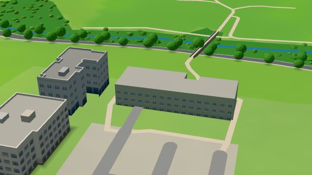 City model
 from OpenStreetMap and ČÚZK data, ODbL Soul.ad
Open · closes at 21:00
-
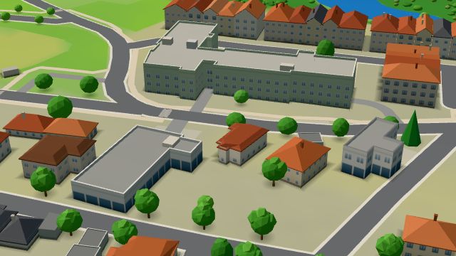 City model
 from OpenStreetMap and ČÚZK data, ODbL -
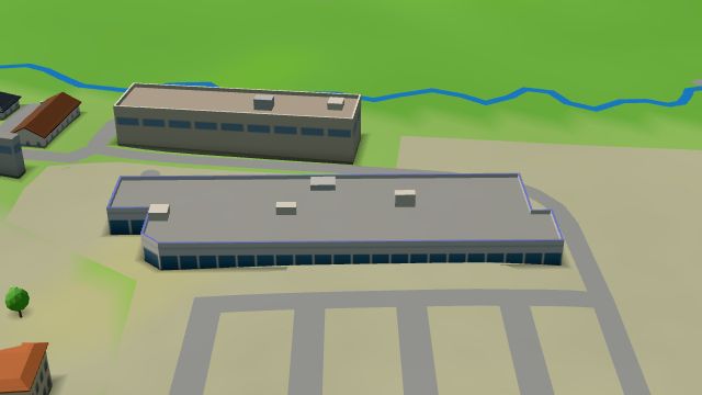 City model
 from OpenStreetMap and ČÚZK data, ODbL Albert
Open · closes at 21:00
-
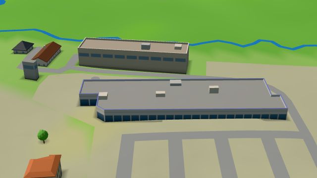 City model
 from OpenStreetMap and ČÚZK data, ODbL Asian wok
Closed · opens at 10:00
-
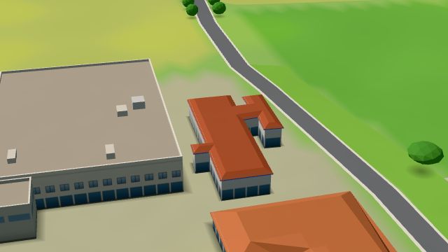 City model
 from OpenStreetMap and ČÚZK data, ODbL -
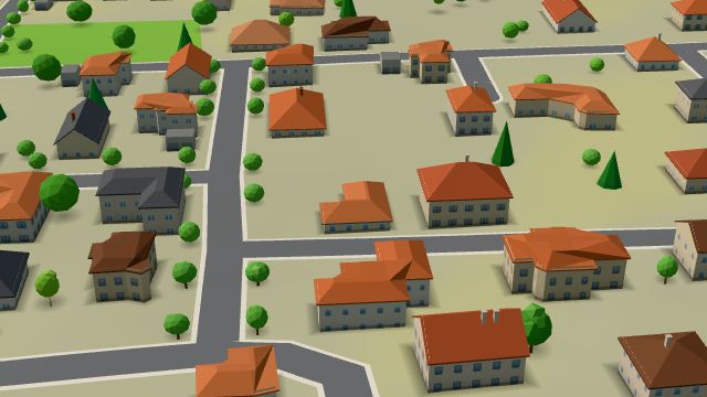 City model
 from OpenStreetMap and ČÚZK data, ODbL -
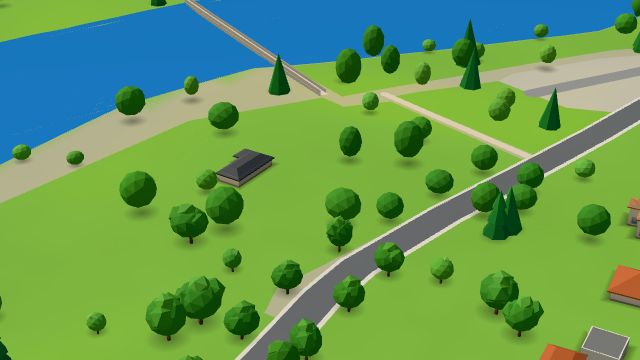 City model
 from OpenStreetMap and ČÚZK data, ODbL -
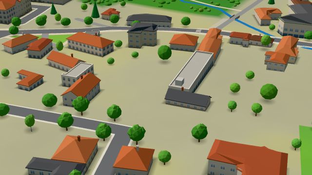 City model
 from OpenStreetMap and ČÚZK data, ODbL -
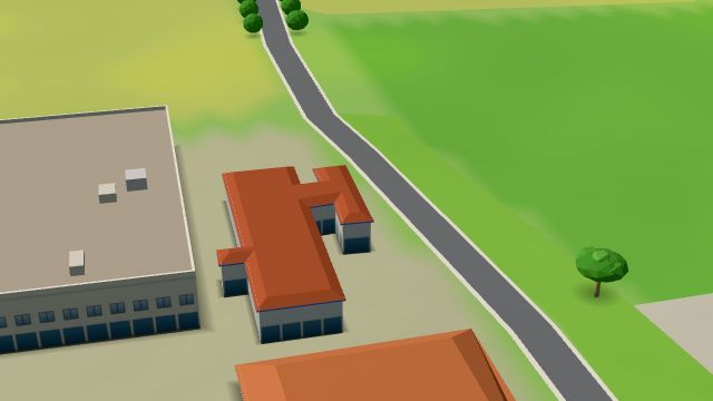 City model
 from OpenStreetMap and ČÚZK data, ODbL -
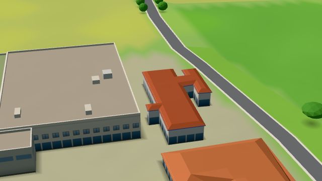 City model
 from OpenStreetMap and ČÚZK data, ODbL -
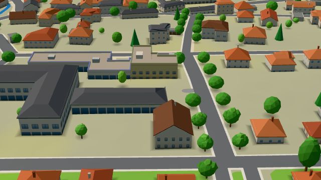 City model
 from OpenStreetMap and ČÚZK data, ODbL -
 City model
 from OpenStreetMap and ČÚZK data, ODbL -
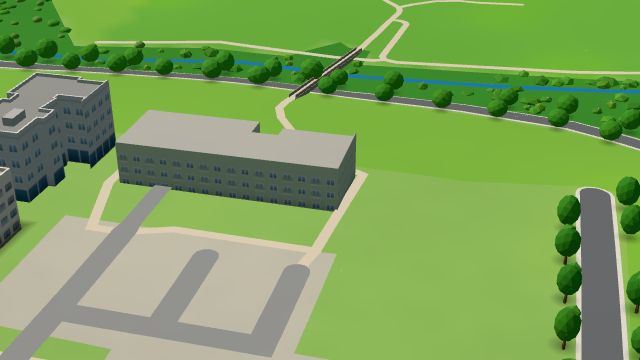 City model
 from OpenStreetMap and ČÚZK data, ODbL -
 City model
 from OpenStreetMap and ČÚZK data, ODbL -
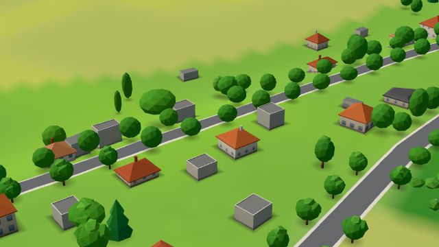 City model
 from OpenStreetMap and ČÚZK data, ODbL -
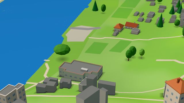 City model
 from OpenStreetMap and ČÚZK data, ODbL -
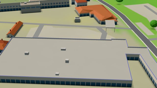 City model
 from OpenStreetMap and ČÚZK data, ODbL -
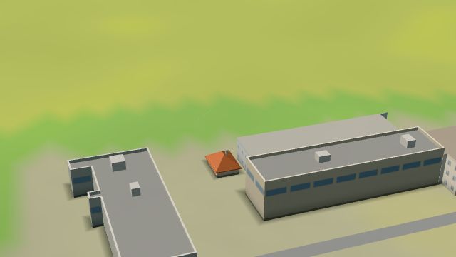 City model
 from OpenStreetMap and ČÚZK data, ODbL -
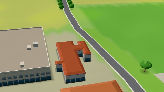 City model
 from OpenStreetMap and ČÚZK data, ODbL U Rytíře
Open · closes at 17:00
-
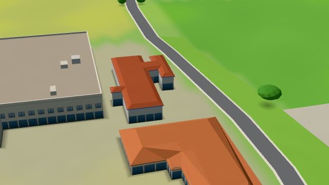 City model
 from OpenStreetMap and ČÚZK data, ODbL -
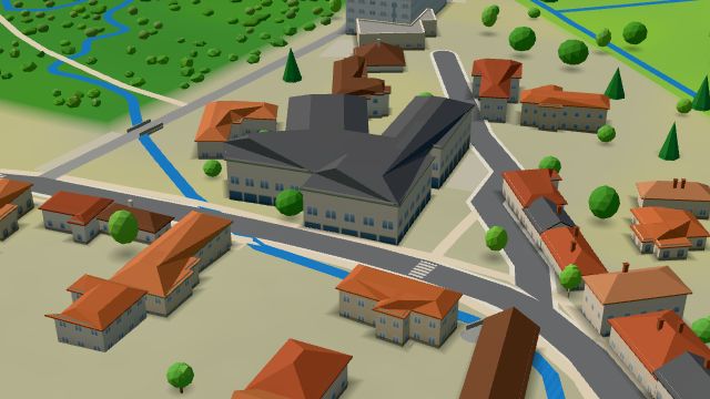 City model
 from OpenStreetMap and ČÚZK data, ODbL
What is here
- Shops 14
- Restaurants 5
- Schools 5
- Services 4
- Sport 3
- Bars and pubs 2
- Cafés 1
- Landmarks 1
- Accommodation 1
- Groceries and supermarkets 6
- Nursery schools 3
- Travel agencies 2
- Primary schools 2
- Breweries 2
- Clothes and fashion 1
- Hairdressers and barbers 1
- Fast food 1
- Furniture and home 1
- Czech food 1
- Gifts and souvenirs 1
- Cakes and ice cream 1
- Tobacconists 1
- Drugstores 1
- Pets 1
- Burgers 1
- Grill and steaks 1
- Post offices 1