


Praha-Satalice
Businesses and places in Praha-Satalice, Praha: 44 places.
Satalice lies in the north-east of Prague next to Vinoř, in the Prague 9 area, and became part of the city in 1974. It is a district of family houses that give way to the Satalice pheasantry, a nature monument with protected old oaks. Its sights are the baroque chapel of St Anne from the second quarter of the 18th century and the listed station building of Praha-Satalice on the railway line to Turnov.
Results
-
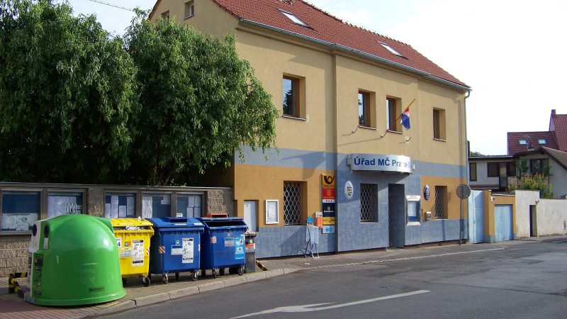
Photo: ŠJů, CC BY 4.0 Pošta Praha 915
Closed · opens at 10:00
-
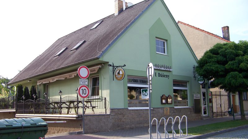
Photo: ŠJů, CC BY 4.0 U Dášeny
Closed · opens at 17:00
-
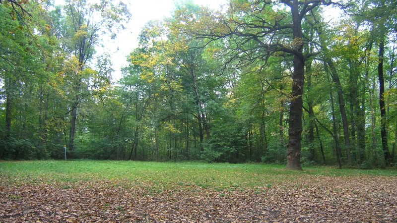
Photo: Czech Wikipedia user Packa, CC BY-SA 2.5 -
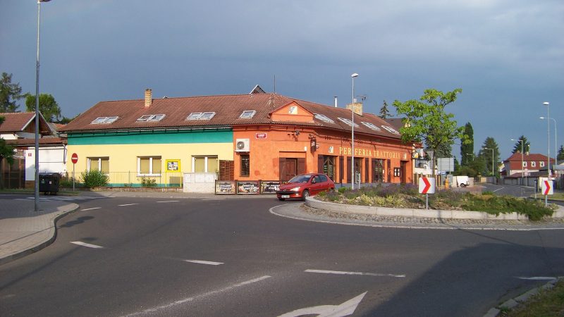
Photo: ŠJů, CC BY 4.0 -
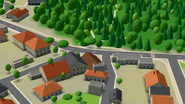 City model
 from OpenStreetMap and ČÚZK data, ODbL -
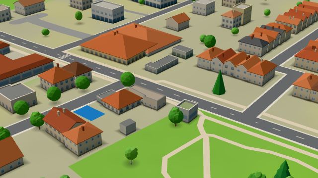 City model
 from OpenStreetMap and ČÚZK data, ODbL Kadeřnictví Klára
Open · closes at 18:00
-
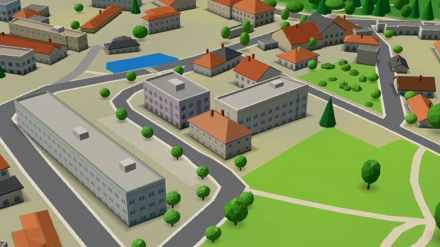 City model
 from OpenStreetMap and ČÚZK data, ODbL Komunitní centrum Jiřího Hubače
Open · closes at 18:00
-
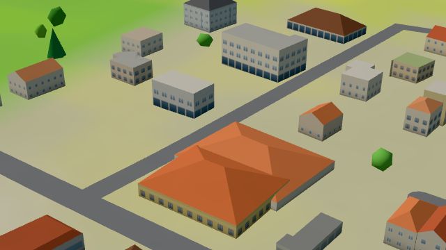 City model
 from OpenStreetMap and ČÚZK data, ODbL -
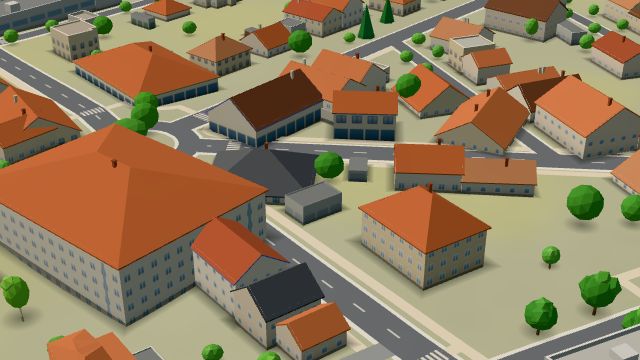 City model
 from OpenStreetMap and ČÚZK data, ODbL Veterinární ošetřovna
Open · closes at 12:00
-
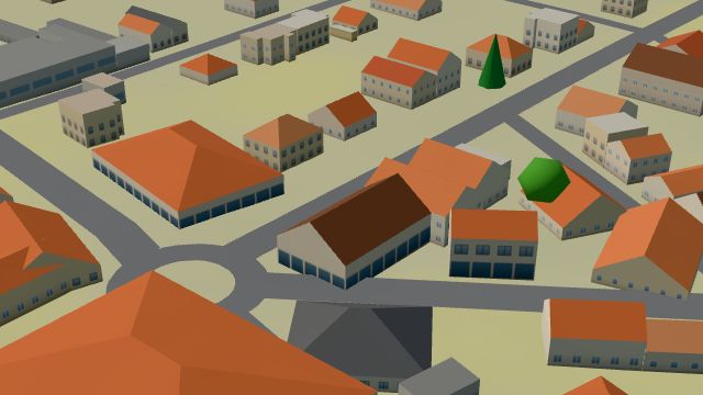 City model
 from OpenStreetMap and ČÚZK data, ODbL Můj obchod
Open · closes at 21:00
-
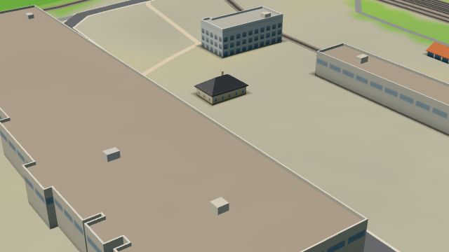 City model
 from OpenStreetMap and ČÚZK data, ODbL -
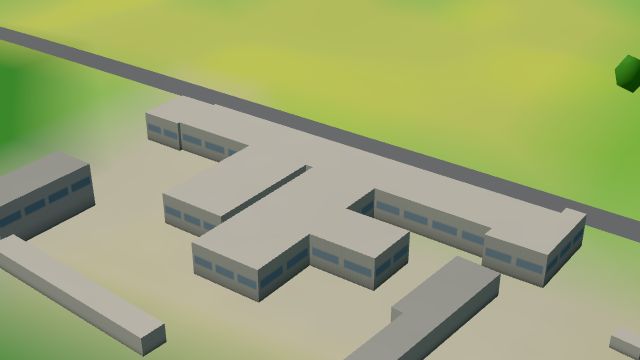 City model
 from OpenStreetMap and ČÚZK data, ODbL -
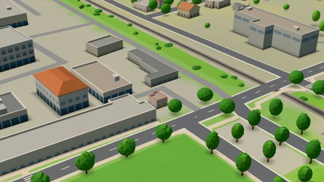 City model
 from OpenStreetMap and ČÚZK data, ODbL -
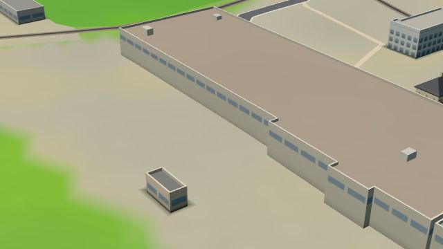 City model
 from OpenStreetMap and ČÚZK data, ODbL -
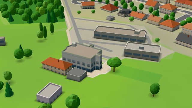 City model
 from OpenStreetMap and ČÚZK data, ODbL -
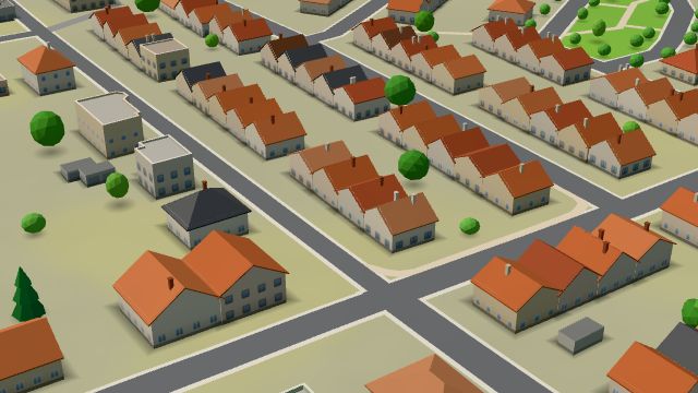 City model
 from OpenStreetMap and ČÚZK data, ODbL -
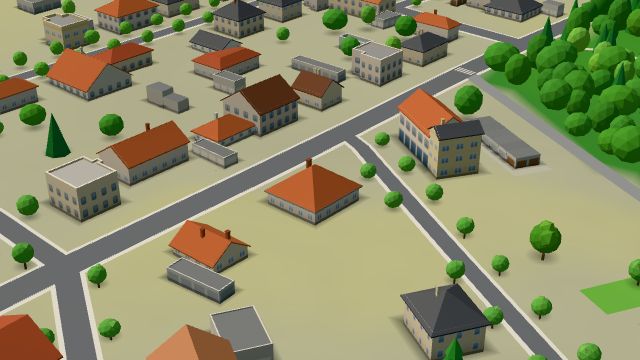 City model
 from OpenStreetMap and ČÚZK data, ODbL -
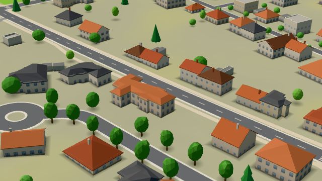 City model
 from OpenStreetMap and ČÚZK data, ODbL -
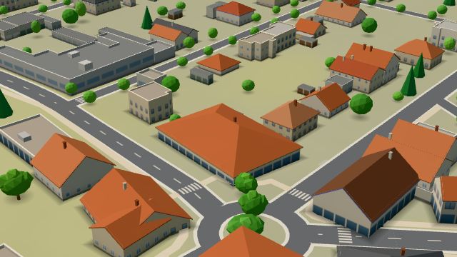 City model
 from OpenStreetMap and ČÚZK data, ODbL -
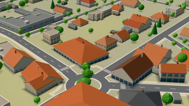 City model
 from OpenStreetMap and ČÚZK data, ODbL -
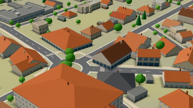 City model
 from OpenStreetMap and ČÚZK data, ODbL Pekařství Moravec
Open · closes at 17:30
-
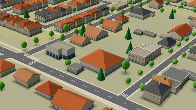 City model
 from OpenStreetMap and ČÚZK data, ODbL -
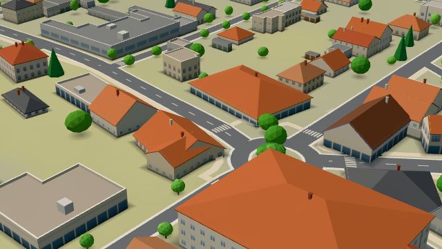 City model
 from OpenStreetMap and ČÚZK data, ODbL -
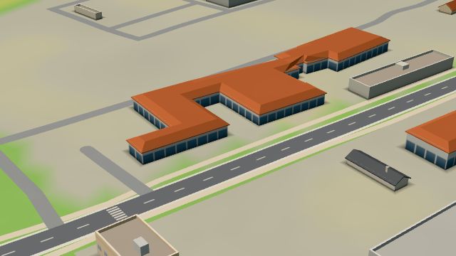 City model
 from OpenStreetMap and ČÚZK data, ODbL
What is here
- Schools 8
- Services 7
- Restaurants 6
- Shops 5
- Health 5
- Accommodation 3
- Sport 3
- Bars and pubs 2
- Cafés 1
- Culture 1
- Landmarks 1
- Parks and nature 1
- Wellness 1
- Car repair and tyres 3
- Groceries and supermarkets 2
- Dentists 2
- Hairdressers and barbers 2
- Primary schools 2
- Secondary schools 2
- Doctors 1
- Beauty and nails 1
- Nursery schools 1
- Physiotherapy 1
- Flowers 1
- Bakeries 1
- Churches 1
- Psychologists and therapists 1
- Hardware and DIY 1
- Universities and colleges 1
- Language schools 1
- Vets 1
- Post offices 1
- Art and music schools 1