


Praha-Šeberov
Businesses and places in Praha-Šeberov, Praha: 57 places.
Šeberov lies on the southern edge of Prague between Kunratice and the D1 motorway, in the Prague 4 area, and takes in Hrnčíře as well as Šeberov itself. The village separated from Chodov in 1909 and joined Prague in 1974, and today it is a district of family houses around two old village cores. Hrnčíře has the church of St Prokop and the Hrnčířské louky nature monument, Šeberov the chapel of St John of Nepomuk, and the ponds Šeberák and Olšanský rybník lie on the western boundary.
Results
-
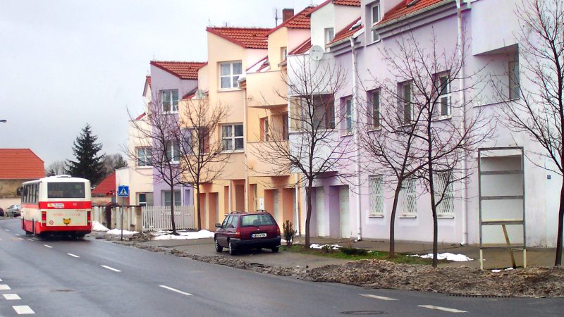
Photo: Czech Wikipedia user Packa, CC BY-SA 2.5 Úřad městské části Praha-Šeberov
Open · closes at 12:00
-
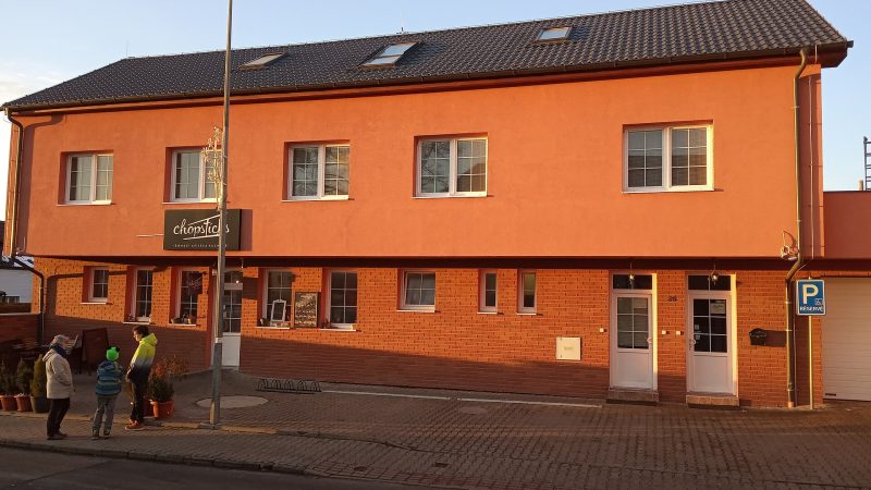
Photo: JiriMatejicek, CC BY-SA 3.0 Chopsticks
Closed · opens at 11:00
-
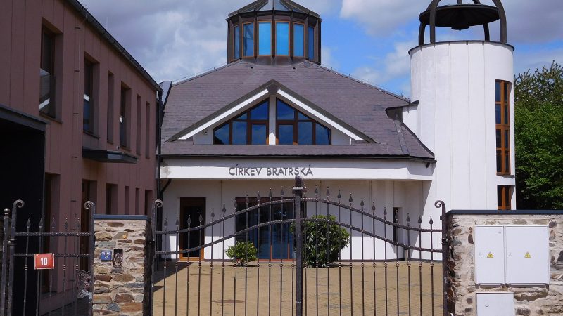
Photo: JiriMatejicek, CC BY-SA 3.0 -
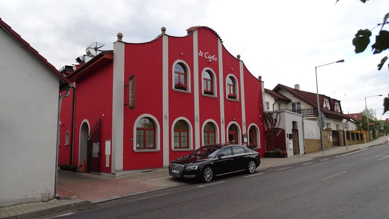
Photo: ŠJů, CC BY 4.0 Di Carlo
Closed · opens at 11:00
-
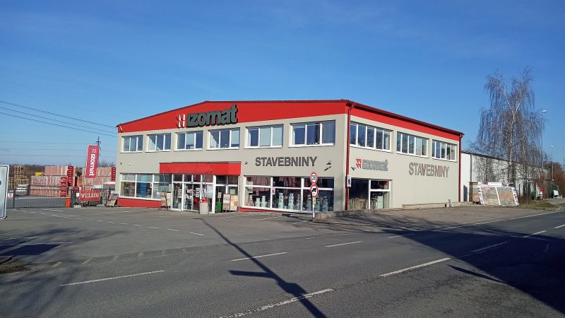
Photo: JiriMatejicek, CC BY-SA 3.0 Stavebniny IZOMAT
Open · closes at 17:00
-
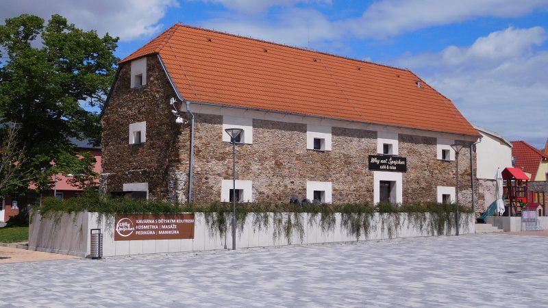
Photo: JiriMatejicek, CC BY-SA 3.0 Why not Špejchar
Open · closes at 20:00
-
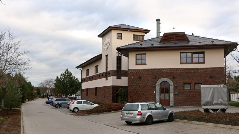
Photo: Pavel Hrdlička (Czech Wikipedia user Packa), CC BY-SA 4.0 EL ASADOR Argentinská restaurace
Closed · opens at 11:00
-
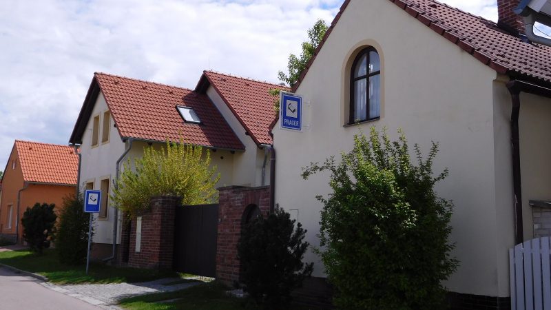
Photo: JiriMatejicek, CC BY-SA 3.0 -
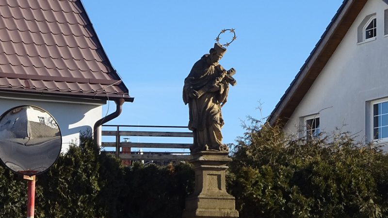
Photo: Hedvika Šimková, CC BY-SA 4.0 -
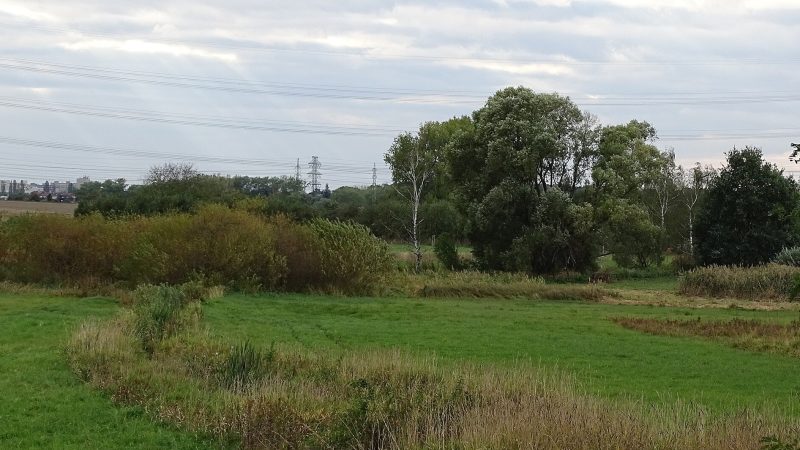
Photo: ŠJů, CC BY 4.0 -
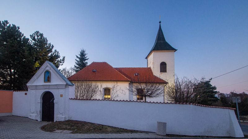
Photo: VitVit, CC BY-SA 4.0 -
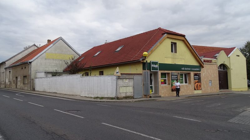
Photo: ŠJů, CC BY 4.0 Daily Fresh
Open · closes at 20:00
-
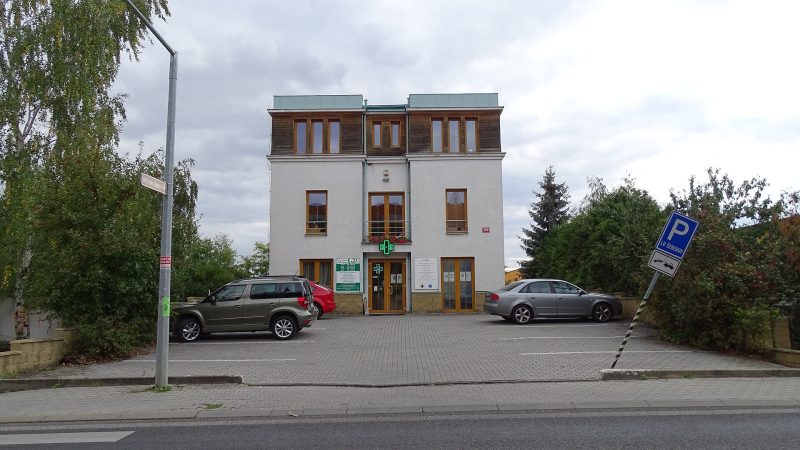
Photo: ŠJů, CC BY 4.0 Lékárna Šeberov
Open · closes at 15:00
-
 City model
 from OpenStreetMap and ČÚZK data, ODbL Ambicare Clinic
Open · closes at 20:00
-
 City model
 from OpenStreetMap and ČÚZK data, ODbL MOL, Na Jelenách
Open · closes at 22:00
-
 City model
 from OpenStreetMap and ČÚZK data, ODbL Občerstvení Sport Šeberov
Closed · opens at 13:30
-
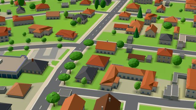 City model
 from OpenStreetMap and ČÚZK data, ODbL -
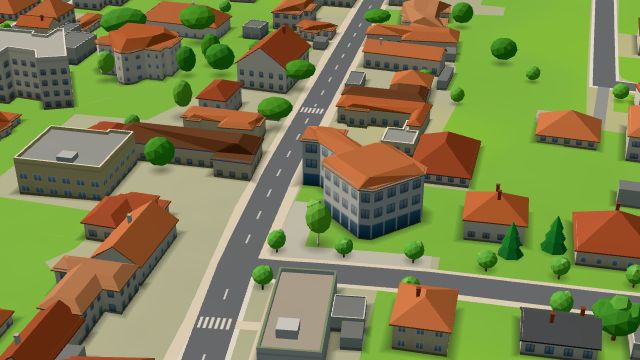 City model
 from OpenStreetMap and ČÚZK data, ODbL -
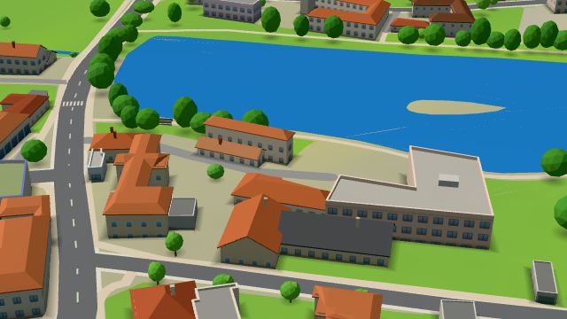 City model
 from OpenStreetMap and ČÚZK data, ODbL -
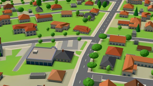 City model
 from OpenStreetMap and ČÚZK data, ODbL -
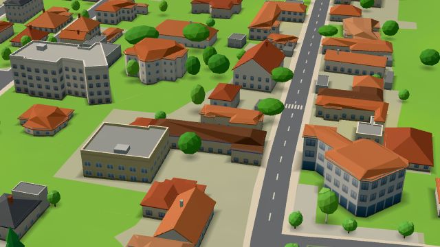 City model
 from OpenStreetMap and ČÚZK data, ODbL -
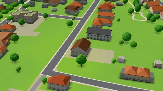 City model
 from OpenStreetMap and ČÚZK data, ODbL -
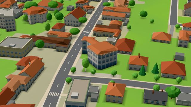 City model
 from OpenStreetMap and ČÚZK data, ODbL -
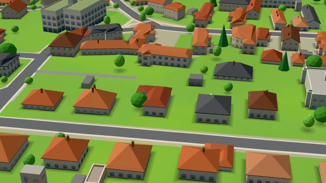 City model
 from OpenStreetMap and ČÚZK data, ODbL
What is here
- Health 15
- Shops 11
- Schools 8
- Restaurants 6
- Landmarks 4
- Services 4
- Bars and pubs 2
- Sport 2
- Wellness 2
- Cafés 1
- Parks and nature 1
- Accommodation 1
- Doctors 12
- Nursery schools 4
- Groceries and supermarkets 3
- Primary schools 3
- Breweries 3
- Beauty and nails 2
- Fast food 2
- Car repair and tyres 2
- Churches 2
- Clothes and fashion 1
- Dentists 1
- Gyms 1
- Electronics and phones 1
- Travel agencies 1
- Flowers 1
- Italian food 1
- Bakeries 1
- Pharmacies 1
- Secondary schools 1
- Psychologists and therapists 1
- Hardware and DIY 1
- Petrol stations 1
- Car washes 1
- Music 1