


Praha-Slivenec
Businesses and places in Praha-Slivenec, Praha: 47 places.
Slivenec is in the south-west of Prague, in the Prague 5 area, and the district takes in two former villages, Slivenec and Holyně, joined to the city in stages between 1960 and 1974. Both have kept a village core surrounded by family houses. Slivenec has the church of All Saints, Holyně the chapel of St John the Baptist, and the valley of the Dalejský potok holds the Dalejský profil national nature monument.
Results
-
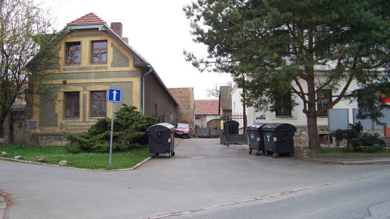
Photo: ŠJů, CC BY-SA 4.0 Pošta Praha 514
Closed · opens at 10:00
-
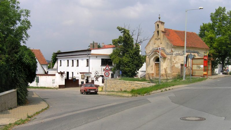
Photo: Czech Wikipedia user Packa, CC BY-SA 2.5 -
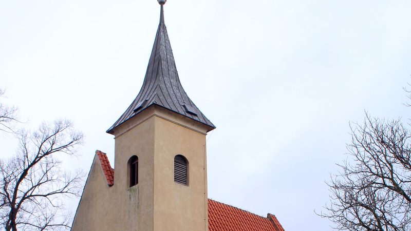
Photo: VitVit, CC BY-SA 4.0 -
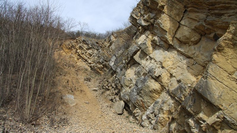
Photo: Chmee2, CC BY 3.0 -
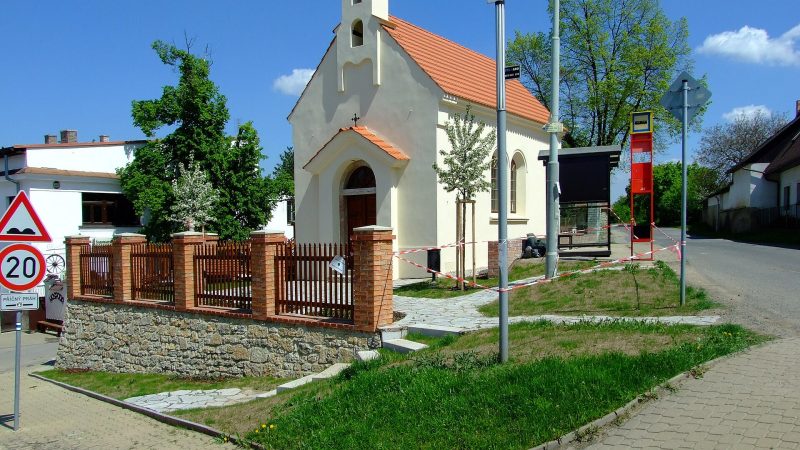
Photo: I would appreciate being notified if you use my work outside Wikimedia. More of my work can be found in my personal gallery., CC BY-SA 3.0 -
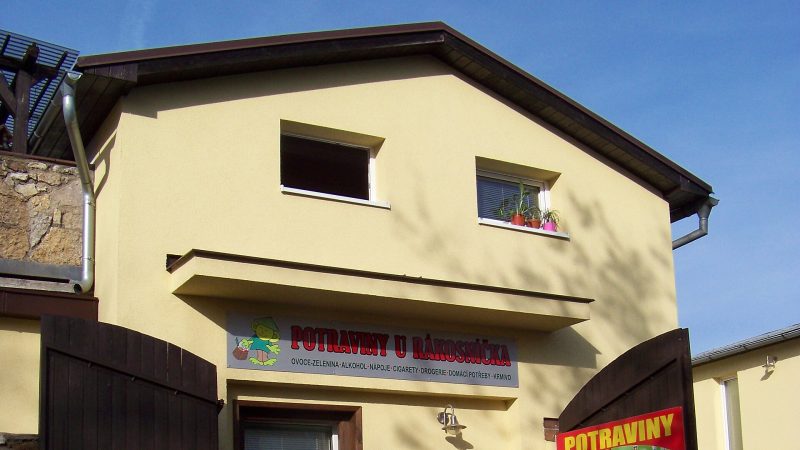
Photo: ŠJů, CC BY-SA 3.0 Potraviny U Rákosníčka
Open · closes at 20:30
-
 City model
 from OpenStreetMap and ČÚZK data, ODbL -
 City model
 from OpenStreetMap and ČÚZK data, ODbL Kaufland
Open · closes at 22:00
-
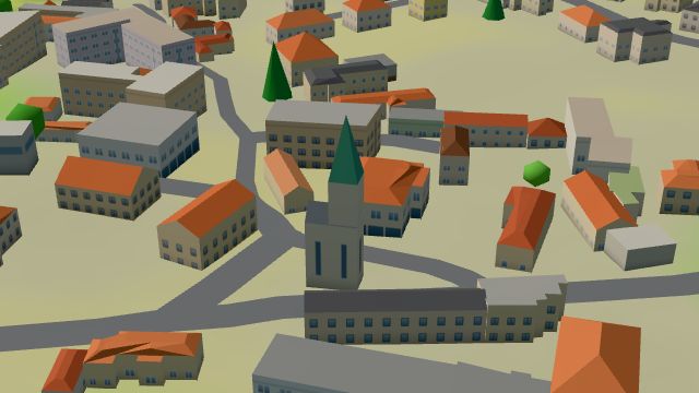 City model
 from OpenStreetMap and ČÚZK data, ODbL U Knotků
Closed · opens at 14:30
-
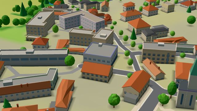 City model
 from OpenStreetMap and ČÚZK data, ODbL -
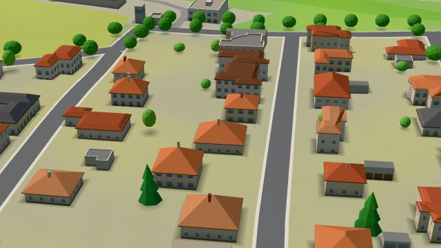 City model
 from OpenStreetMap and ČÚZK data, ODbL -
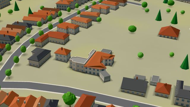 City model
 from OpenStreetMap and ČÚZK data, ODbL -
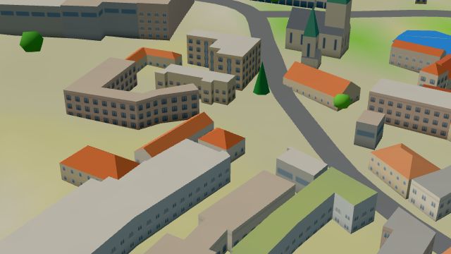 City model
 from OpenStreetMap and ČÚZK data, ODbL -
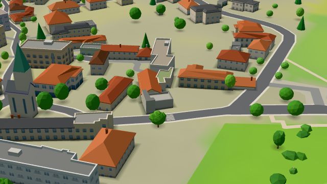 City model
 from OpenStreetMap and ČÚZK data, ODbL -
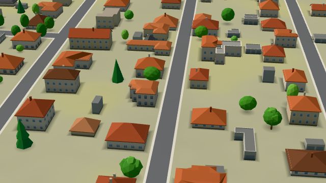 City model
 from OpenStreetMap and ČÚZK data, ODbL -
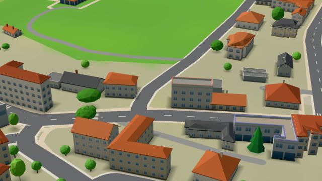 City model
 from OpenStreetMap and ČÚZK data, ODbL -
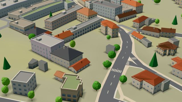 City model
 from OpenStreetMap and ČÚZK data, ODbL -
 City model
 from OpenStreetMap and ČÚZK data, ODbL -
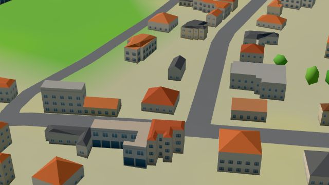 City model
 from OpenStreetMap and ČÚZK data, ODbL -
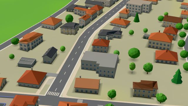 City model
 from OpenStreetMap and ČÚZK data, ODbL -
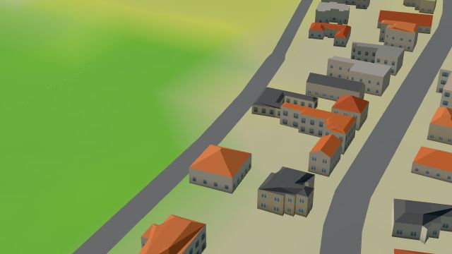 City model
 from OpenStreetMap and ČÚZK data, ODbL Roll&Relax
Closed · opens at 15:00
-
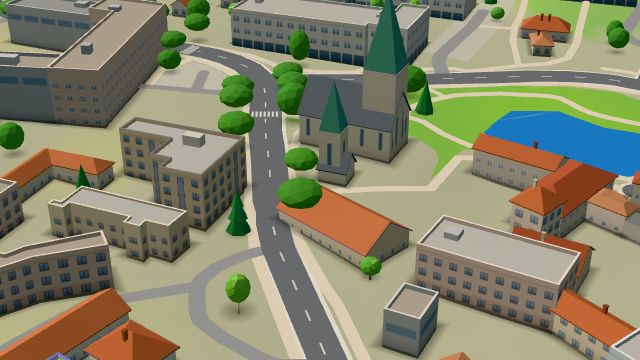 City model
 from OpenStreetMap and ČÚZK data, ODbL -
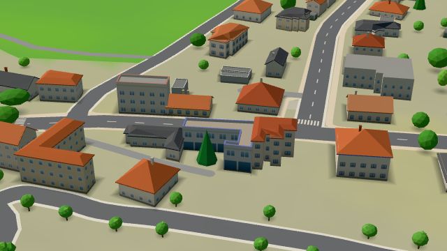 City model
 from OpenStreetMap and ČÚZK data, ODbL -
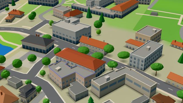 City model
 from OpenStreetMap and ČÚZK data, ODbL
What is here
- Shops 10
- Restaurants 6
- Services 6
- Health 5
- Schools 4
- Bars and pubs 3
- Culture 3
- Parks and nature 3
- Landmarks 2
- Accommodation 2
- Cafés 1
- Sport 1
- Wellness 1
- Nursery schools 4
- Car repair and tyres 3
- Physiotherapy 3
- Wine and drinks 3
- Doctors 2
- Groceries and supermarkets 2
- Beauty and nails 1
- Clothes and fashion 1
- Fast food 1
- Museums and galleries 1
- Czech food 1
- Primary schools 1
- Italian food 1
- Cakes and ice cream 1
- Churches 1
- Drugstores 1
- Pets 1
- Hardware and DIY 1
- Petrol stations 1
- Libraries 1
- Driving schools 1
- Grill and steaks 1
- Post offices 1