


Praha-Újezd
Businesses and places in Praha-Újezd, Praha: 31 places.
Újezd lies on the south-eastern edge of Prague by the D1 motorway, just beyond Jižní Město, with buses from the Opatov metro station. It has two settlements about a kilometre apart: the old village of Újezd, founded around 1483, with a green and a pond near the Botič brook, and Kateřinky, where most people live in panel blocks and terraced houses built since the 1990s around the new centre on Kateřinské náměstí. On the edge of Kateřinky begins Milíčovský les, a wood with ponds protected as a nature monument, overlooked by Milíčovský vrch.
Results
-
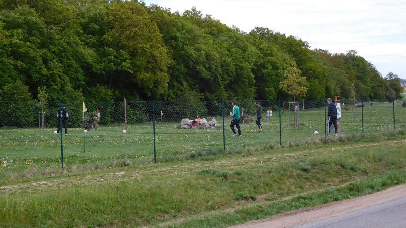
Photo: JiriMatejicek, CC BY-SA 3.0 FotbalPark Praha
Closed · opens Friday at 14:00
-
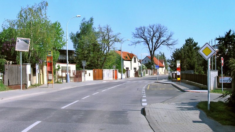
Photo: Czech Wikipedia user Packa, CC BY-SA 2.5 Úřad městské části Praha - Újezd
Open · closes at 12:00
-
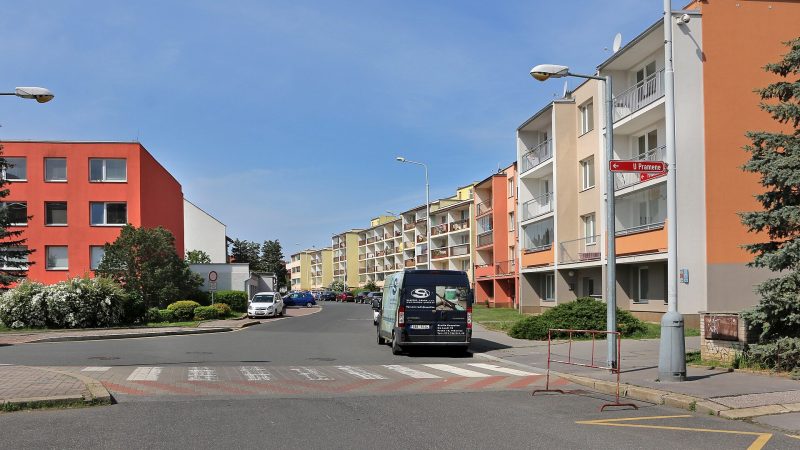
Photo: Pavel Hrdlička (Czech Wikipedia user Packa), CC BY-SA 4.0 Kavárna a cukrárna Proutěná
Closed · opens at 13:00
-
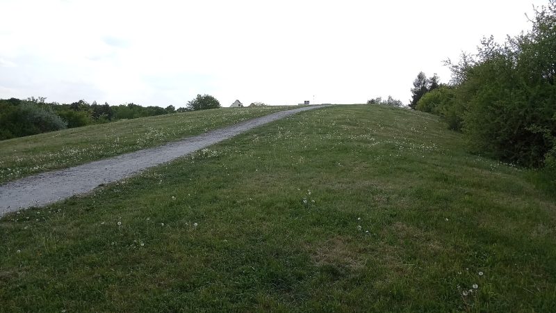
Photo: JiriMatejicek, CC BY-SA 4.0 -
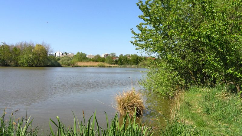
Photo: Czech Wikipedia user Packa, CC BY-SA 2.5 -
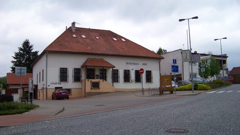
Photo: ŠJů, CC BY-SA 4.0 Potraviny Formanská
Open · closes at 20:00
-
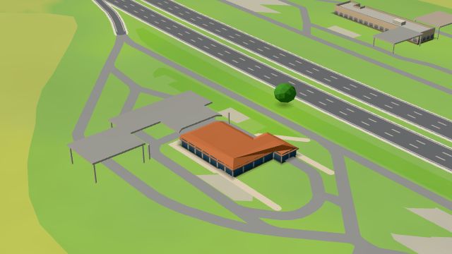 City model
 from OpenStreetMap and ČÚZK data, ODbL Benzina
Open 24 hours
-
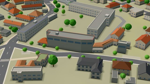 City model
 from OpenStreetMap and ČÚZK data, ODbL Fratelli
Closed · opens at 11:00
-
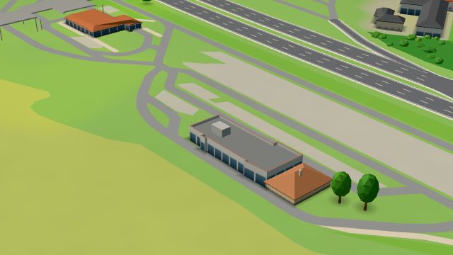 City model
 from OpenStreetMap and ČÚZK data, ODbL McDonald's
Open · closes at midnight
-
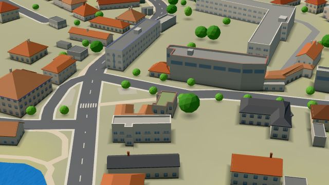 City model
 from OpenStreetMap and ČÚZK data, ODbL Buchta
Open · closes at 18:00
-
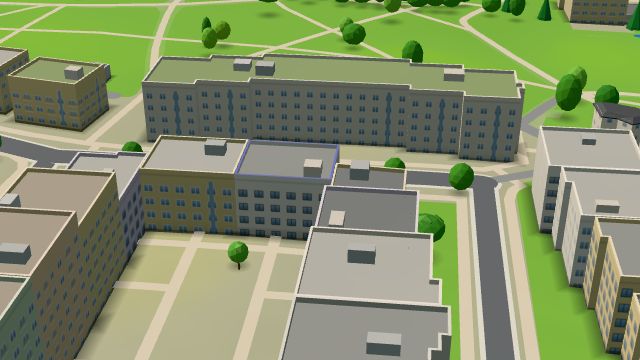 City model
 from OpenStreetMap and ČÚZK data, ODbL e-shop Domácí Dezerty
Closed · opens at 13:00
-
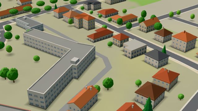 City model
 from OpenStreetMap and ČÚZK data, ODbL -
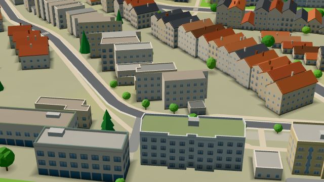 City model
 from OpenStreetMap and ČÚZK data, ODbL -
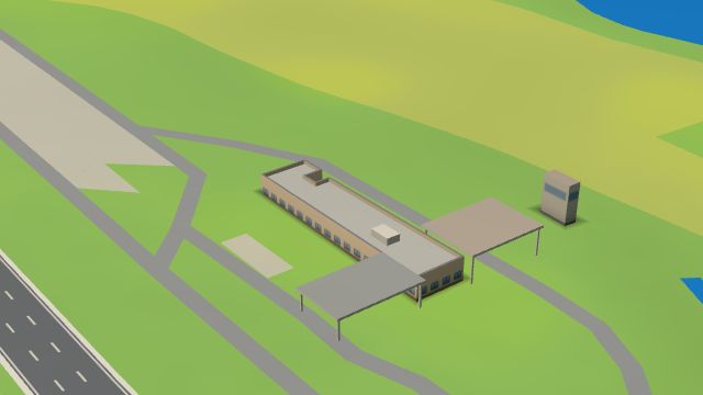 City model
 from OpenStreetMap and ČÚZK data, ODbL Benzina Průhonice, na Prahu
Open 24 hours
-
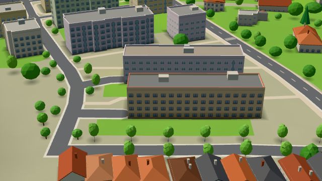 City model
 from OpenStreetMap and ČÚZK data, ODbL -
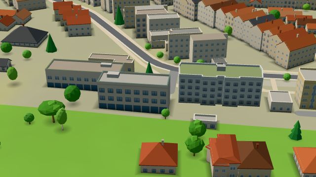 City model
 from OpenStreetMap and ČÚZK data, ODbL -
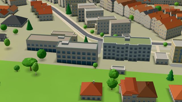 City model
 from OpenStreetMap and ČÚZK data, ODbL -
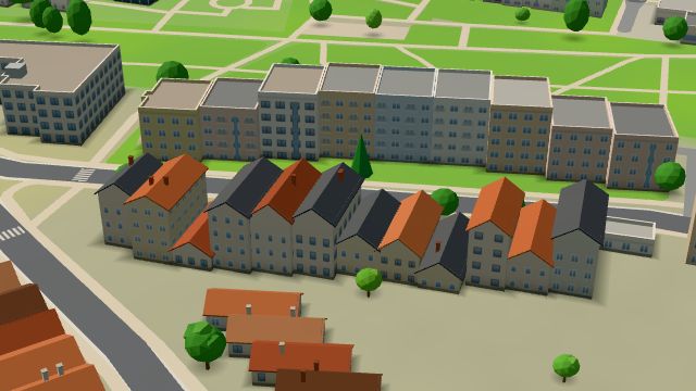 City model
 from OpenStreetMap and ČÚZK data, ODbL -
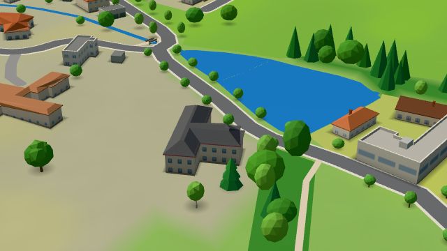 City model
 from OpenStreetMap and ČÚZK data, ODbL -
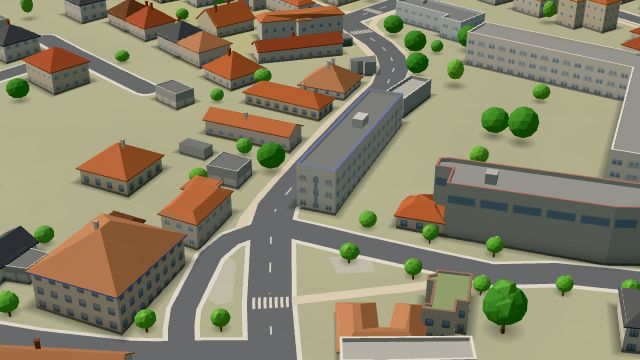 City model
 from OpenStreetMap and ČÚZK data, ODbL -
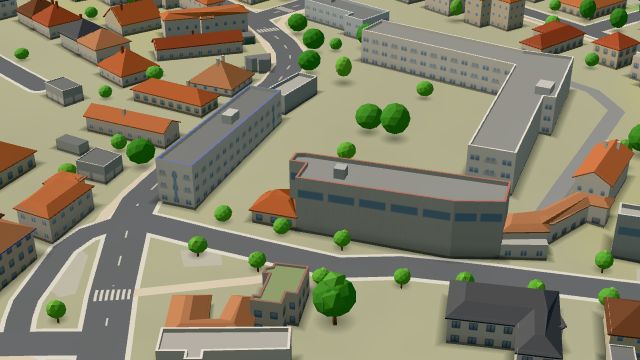 City model
 from OpenStreetMap and ČÚZK data, ODbL -
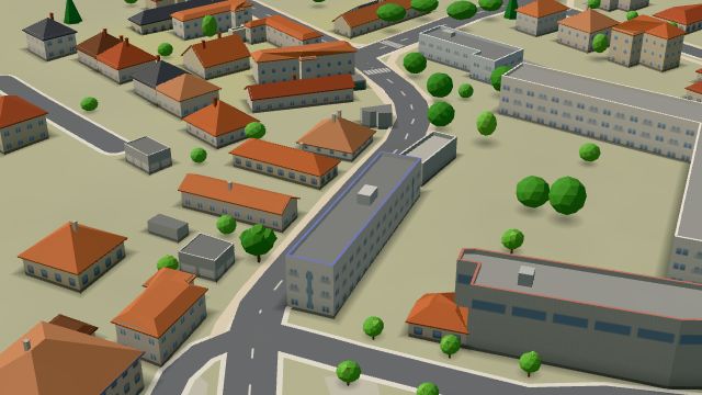 City model
 from OpenStreetMap and ČÚZK data, ODbL -
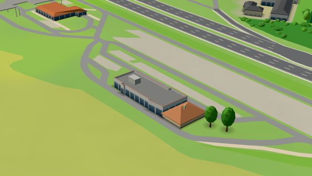 City model
 from OpenStreetMap and ČÚZK data, ODbL -
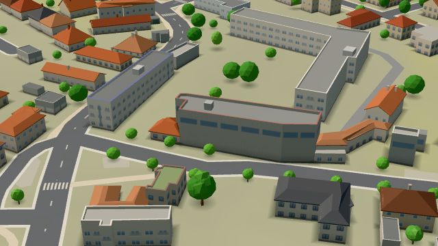 City model
 from OpenStreetMap and ČÚZK data, ODbL
What is here
- Shops 7
- Restaurants 5
- Services 5
- Cafés 3
- Health 3
- Schools 3
- Parks and nature 2
- Sport 2
- Landmarks 1
- Petrol stations 3
- Groceries and supermarkets 2
- Nursery schools 2
- Doctors 1
- Dentists 1
- Fast food 1
- Gyms 1
- Car repair and tyres 1
- Electronics and phones 1
- Primary schools 1
- Italian food 1
- Jewellery and watches 1
- Cakes and ice cream 1
- Shoes 1
- Pizza 1
- Burgers 1
- Driving schools 1