


Praha-Vinoř
Businesses and places in Praha-Vinoř, Praha: 68 places.
Vinoř lies on the north-eastern edge of Prague along Mladoboleslavská street, the road towards Brandýs nad Labem, with buses to the Letňany metro station. It is an old settlement, first recorded in 1088, and the hamlet of Ctěnice belongs to it. In the centre stands the baroque church of the Exaltation of the Holy Cross, built in 1727 and 1728 by F. M. Kaňka, with a statue group of St John of Nepomuk in front of it, while Ctěnice has a chateau first mentioned in 1372 and the south of the district is taken up by the Vinořský park nature reserve.
Results
-
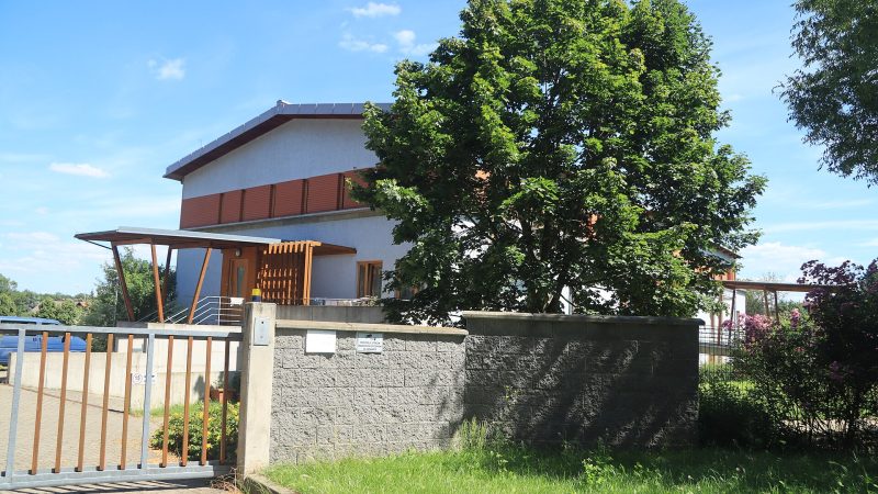
Photo: Jiří Sedláček, CC BY-SA 4.0 -
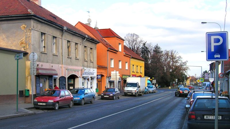
Photo: Czech Wikipedia user Packa, CC BY-SA 2.5 U Černínů
Closed · opens at 10:30
-
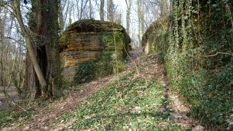
Photo: Prasopestilence, Public domain -
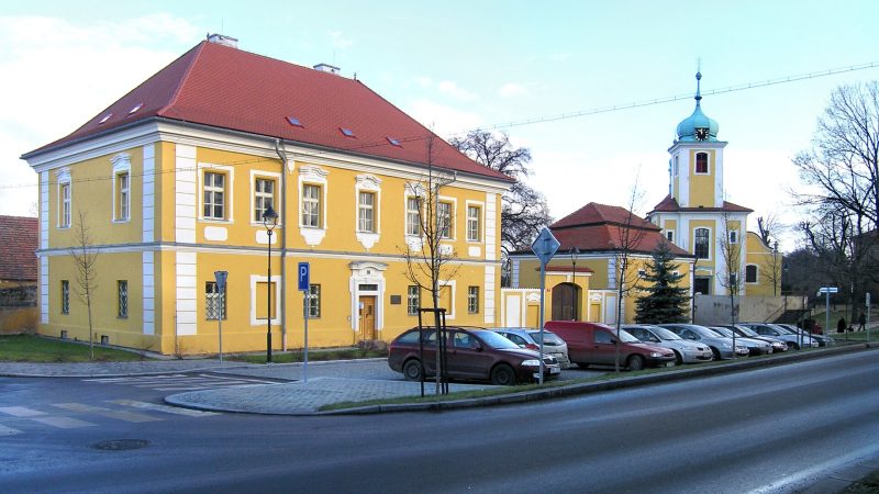
Photo: Czech Wikipedia user Packa, CC BY-SA 2.5 -
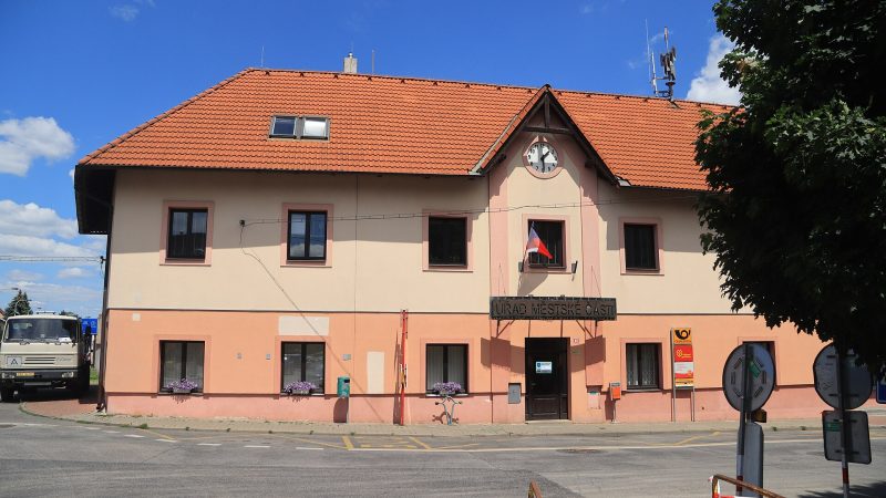
Photo: Jiří Sedláček, CC BY-SA 4.0 Pošta Praha 917
Closed · opens at 10:00
-
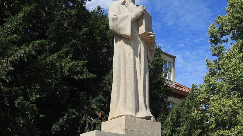
Photo: Jiří Sedláček, CC BY-SA 4.0 -
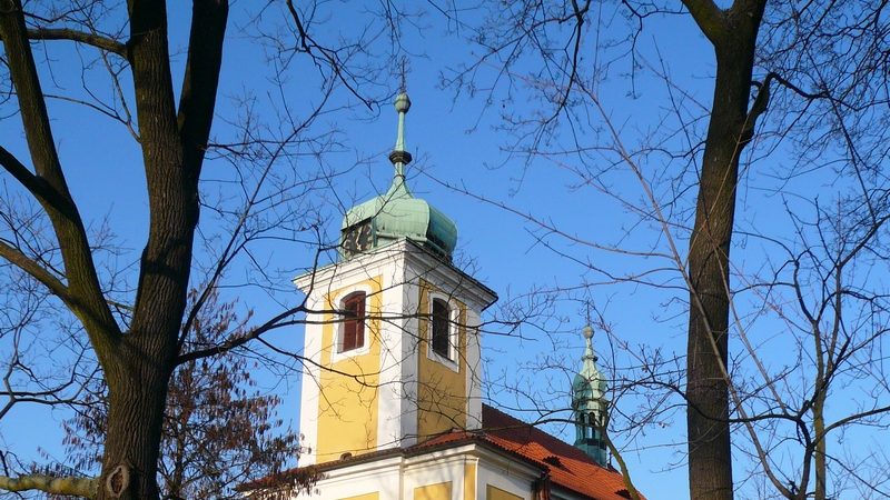
Photo: Robinsoncrusoe, CC BY-SA 3.0 -
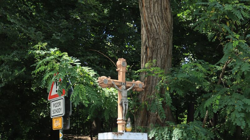
Photo: Jiří Sedláček, CC BY-SA 4.0 -
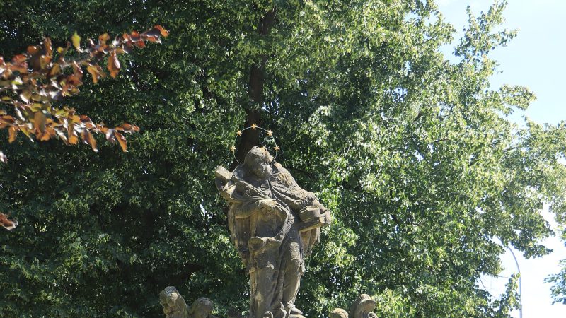
Photo: Jiří Sedláček, CC BY-SA 4.0 -
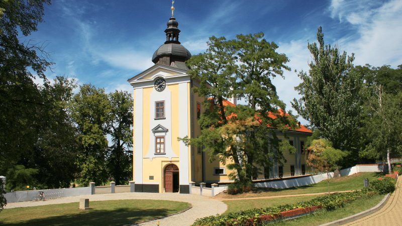
Photo: Jiri Hartmann, CZ, CC BY 3.0 -
 City model
 from OpenStreetMap and ČÚZK data, ODbL Mẹ tôi
Closed · opens at 10:00
-
 City model
 from OpenStreetMap and ČÚZK data, ODbL Vinořská lékárna
Open · closes at 18:00
-
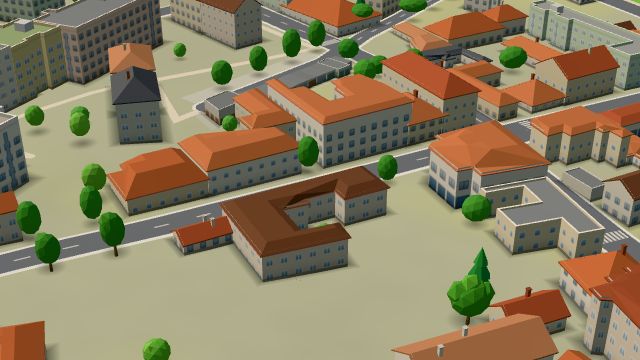 City model
 from OpenStreetMap and ČÚZK data, ODbL Xiang Long
Closed · opens at 11:00
-
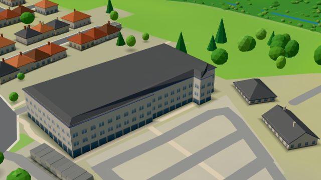 City model
 from OpenStreetMap and ČÚZK data, ODbL Billa
Open · closes at 21:00
-
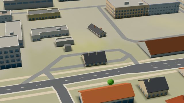 City model
 from OpenStreetMap and ČÚZK data, ODbL Silmet Praha-Vinoř
Open · closes at 21:00
-
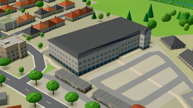 City model
 from OpenStreetMap and ČÚZK data, ODbL Super zoo
Open · closes at 22:00
-
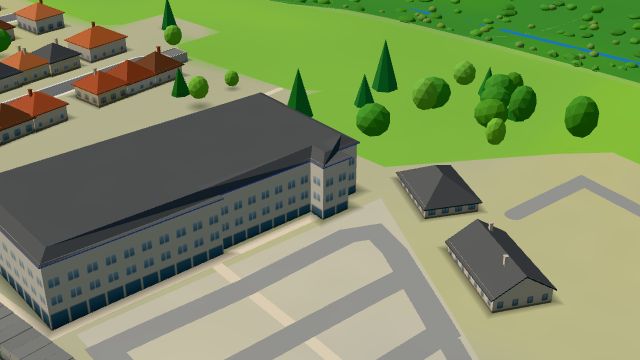 City model
 from OpenStreetMap and ČÚZK data, ODbL Tabák Valmont
Open · closes at 20:00
-
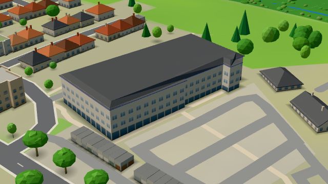 City model
 from OpenStreetMap and ČÚZK data, ODbL dm
Open · closes at 20:00
-
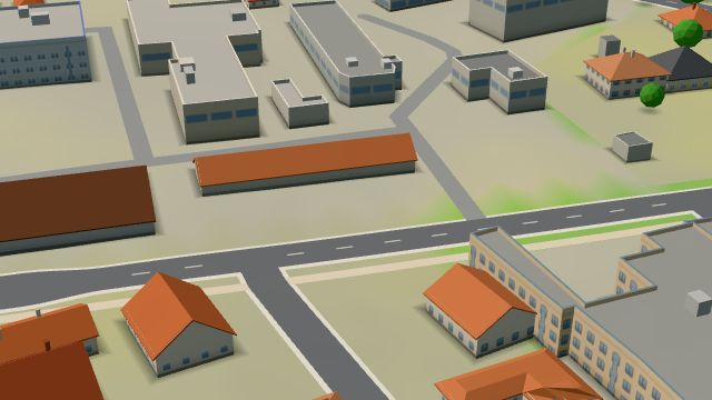 City model
 from OpenStreetMap and ČÚZK data, ODbL -
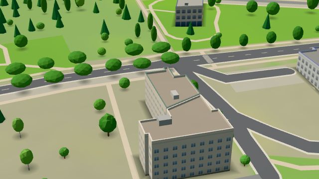 City model
 from OpenStreetMap and ČÚZK data, ODbL -
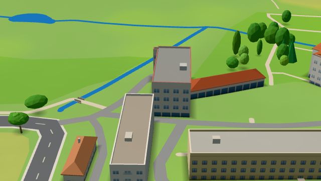 City model
 from OpenStreetMap and ČÚZK data, ODbL -
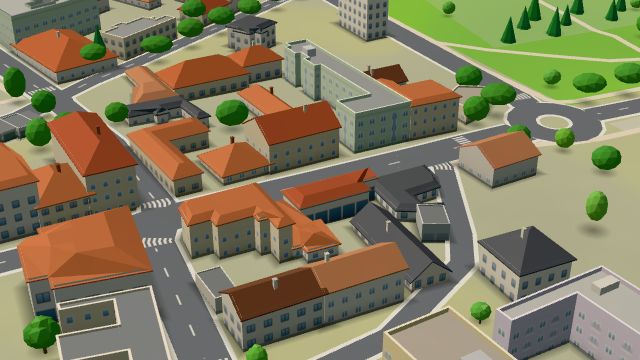 City model
 from OpenStreetMap and ČÚZK data, ODbL -
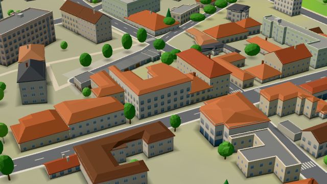 City model
 from OpenStreetMap and ČÚZK data, ODbL -
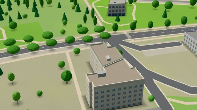 City model
 from OpenStreetMap and ČÚZK data, ODbL
What is here
- Shops 15
- Health 10
- Restaurants 8
- Landmarks 8
- Sport 6
- Services 5
- Schools 4
- Accommodation 4
- Wellness 4
- Culture 2
- Bars and pubs 1
- Parks and nature 1
- Doctors 6
- Beauty and nails 4
- Groceries and supermarkets 3
- Dentists 2
- Gyms 2
- Car repair and tyres 2
- Nursery schools 2
- Flowers 2
- Primary schools 2
- Tobacconists 2
- Churches 2
- Drugstores 2
- Pets 2
- Clothes and fashion 1
- Fast food 1
- Furniture and home 1
- Museums and galleries 1
- Czech food 1
- Italian food 1
- Bakeries 1
- Pharmacies 1
- Pizza 1
- Hardware and DIY 1
- Petrol stations 1
- Libraries 1
- Shopping centres 1
- Post offices 1
- Art and music schools 1