


Bukov
Businesses and places in Bukov, Ústí nad Labem: 90 places.
Bukov lies in the north-west of Ústí nad Labem, in the Ústí nad Labem-město city district, and its cadastral area takes in the Masaryk Hospital on Severní Terasa. In 2024, on the site of the planned courthouse, archaeologists uncovered a bone dump over 26,000 years old with the remains of nineteen mammoths. The village became independent in 1363, the tram arrived in 1903, and on 13 July 1947 an overcrowded tram whose brakes had failed derailed here, killing 30 people, as the Obětem tramvajového neštěstí 13. 7. 1947 memorial recalls. One of the city's first panel housing estates went up here in the early 1960s, and the places listed include the Domeček u Rondelu café and Stadion Mládeže.
Results
-
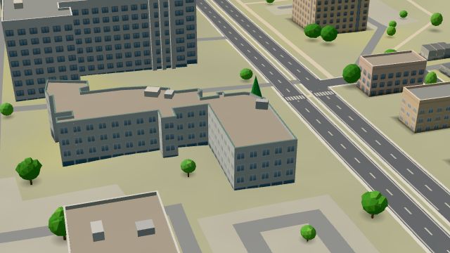 City model
 from OpenStreetMap and ČÚZK data, ODbL Nemocniční
Open · closes at 16:00
-
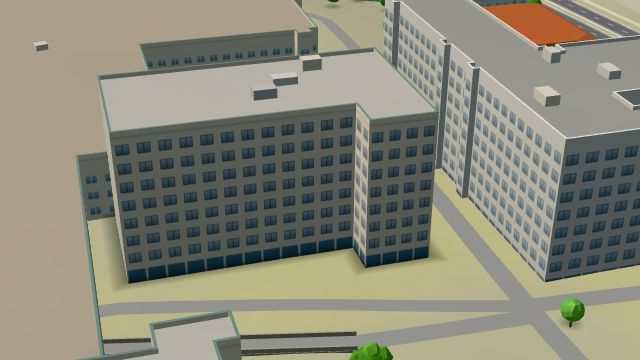 City model
 from OpenStreetMap and ČÚZK data, ODbL Ambulantní pohotovostní péče pro dospělé
Closed · opens at 18:00
-
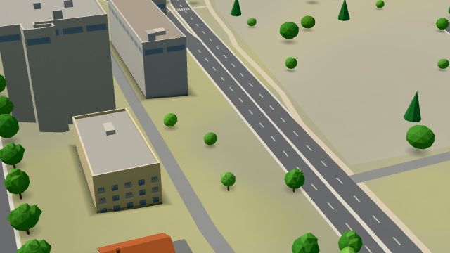 City model
 from OpenStreetMap and ČÚZK data, ODbL -
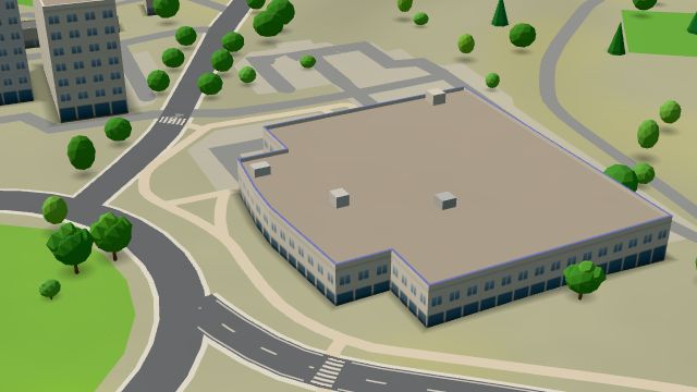 City model
 from OpenStreetMap and ČÚZK data, ODbL PENNY
Open · closes at 20:00
-
 City model
 from OpenStreetMap and ČÚZK data, ODbL -
 City model
 from OpenStreetMap and ČÚZK data, ODbL -
 City model
 from OpenStreetMap and ČÚZK data, ODbL -
 City model
 from OpenStreetMap and ČÚZK data, ODbL -
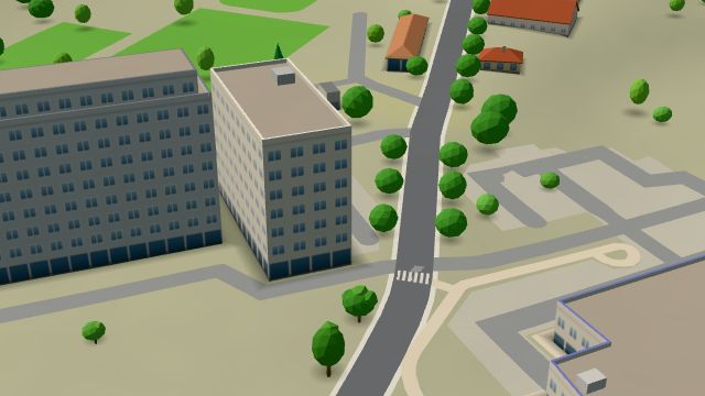 City model
 from OpenStreetMap and ČÚZK data, ODbL -
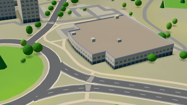 City model
 from OpenStreetMap and ČÚZK data, ODbL -
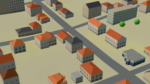 City model
 from OpenStreetMap and ČÚZK data, ODbL -
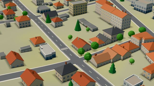 City model
 from OpenStreetMap and ČÚZK data, ODbL -
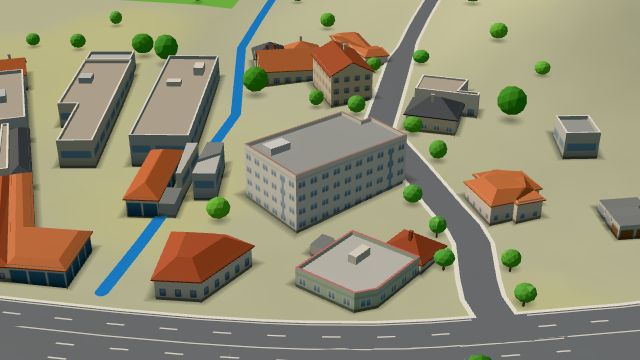 City model
 from OpenStreetMap and ČÚZK data, ODbL -
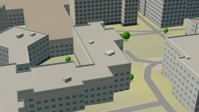 City model
 from OpenStreetMap and ČÚZK data, ODbL -
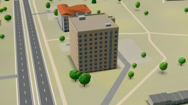 City model
 from OpenStreetMap and ČÚZK data, ODbL -
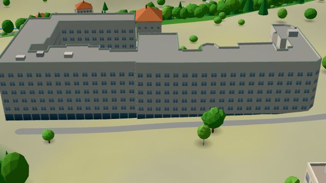 City model
 from OpenStreetMap and ČÚZK data, ODbL -
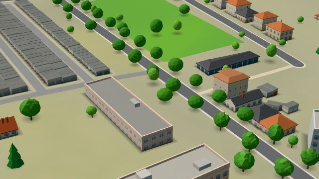 City model
 from OpenStreetMap and ČÚZK data, ODbL -
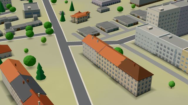 City model
 from OpenStreetMap and ČÚZK data, ODbL -
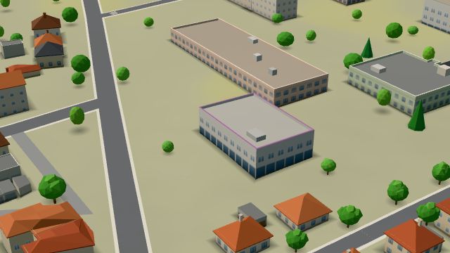 City model
 from OpenStreetMap and ČÚZK data, ODbL -
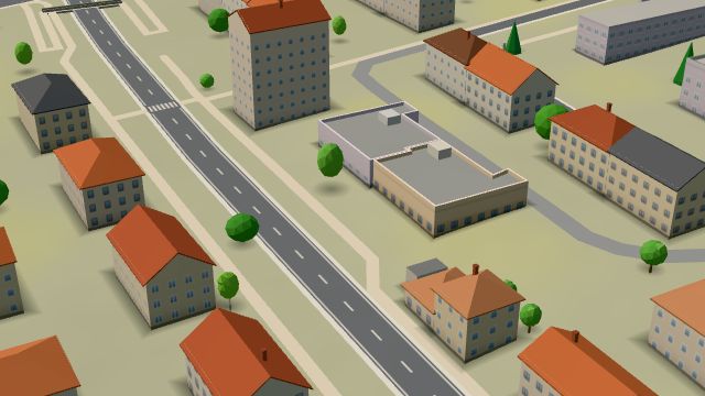 City model
 from OpenStreetMap and ČÚZK data, ODbL -
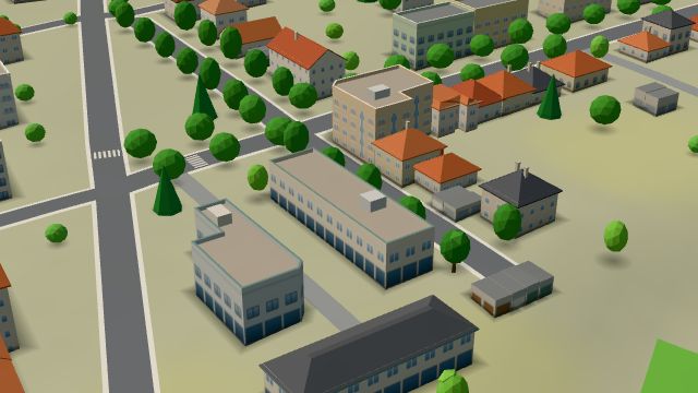 City model
 from OpenStreetMap and ČÚZK data, ODbL -
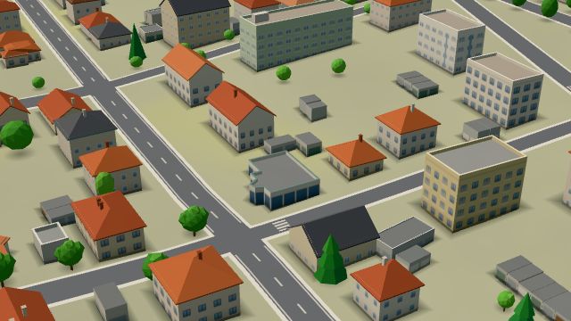 City model
 from OpenStreetMap and ČÚZK data, ODbL -
 City model
 from OpenStreetMap and ČÚZK data, ODbL -
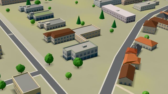 City model
 from OpenStreetMap and ČÚZK data, ODbL
What is here
- Health 50
- Schools 10
- Shops 9
- Services 9
- Restaurants 3
- Sport 3
- Wellness 3
- Cafés 2
- Landmarks 1
- Doctors 34
- Hospitals and clinics 6
- Nursery schools 4
- Dentists 4
- Car repair and tyres 4
- Physiotherapy 4
- Primary schools 3
- Psychologists and therapists 3
- Beauty and nails 2
- Groceries and supermarkets 2
- Gyms 2
- Pharmacies 2
- Car washes 2
- Clothes and fashion 1
- Petrol stations 1
- Secondary schools 1
- Flowers 1
- Blood tests 1
- Driving schools 1
- Universities and colleges 1
- Pets 1
- Bikes 1
- Massage 1
- Wine and drinks 1