


Krásné Březno
Businesses and places in Krásné Březno, Ústí nad Labem: 100 places.
Krásné Březno, formerly Březnice, lies about three kilometres north-east of the centre on the left bank of the Elbe and forms the Ústí nad Labem-Neštěmice city district with Neštěmice and Mojžíř. First recorded in 1057, it has had its present name since 1876 and has belonged to Ústí since 1900; from 1895 to 2011 it had a brewery, where Zlatopramen beer was made. The Bünau family built the château, now the Ústí office of the National Heritage Institute, and the church of St Florian, a Lutheran chapel of around 1600 and a national cultural monument. ZOO Ústí nad Labem lies on the slope of Mariánská skála, and Fričova vyhlídka, the Zámecký park and Poliklinika Krásné Březno are here too.
Results
-
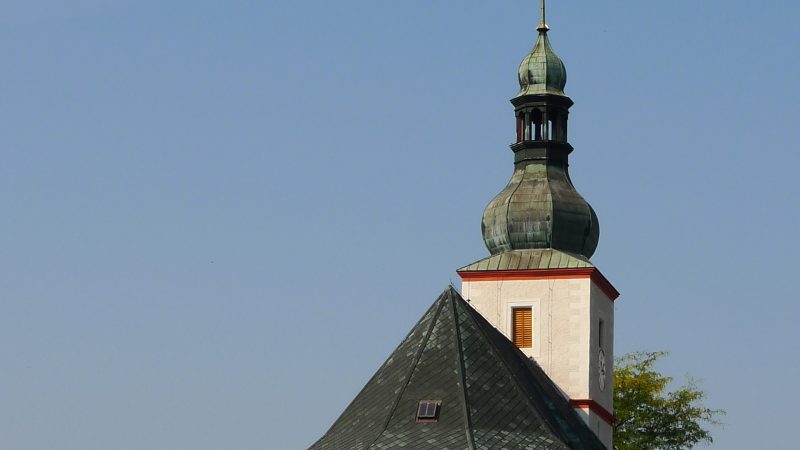
Photo: H2k4, CC BY-SA 4.0 -
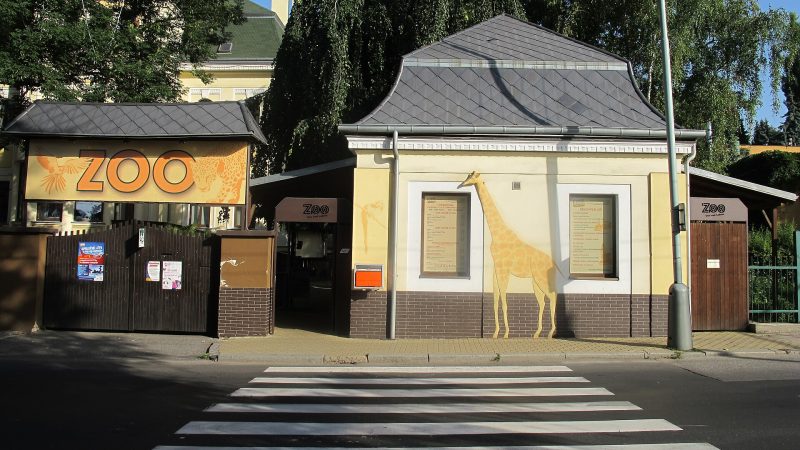
Photo: Hadonos, CC BY-SA 3.0 -
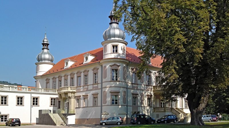
Photo: GeorgeHappy, CC BY-SA 3.0 -
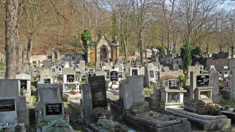
Photo: SchiDD, CC BY-SA 4.0 -
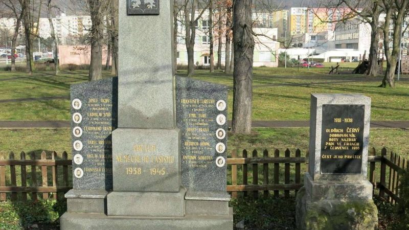
Photo: Barocco, CC0 -
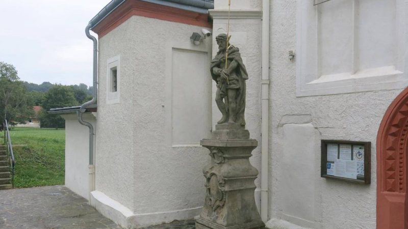
Photo: Barocco, CC0 -
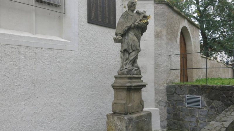
Photo: Barocco, CC0 -
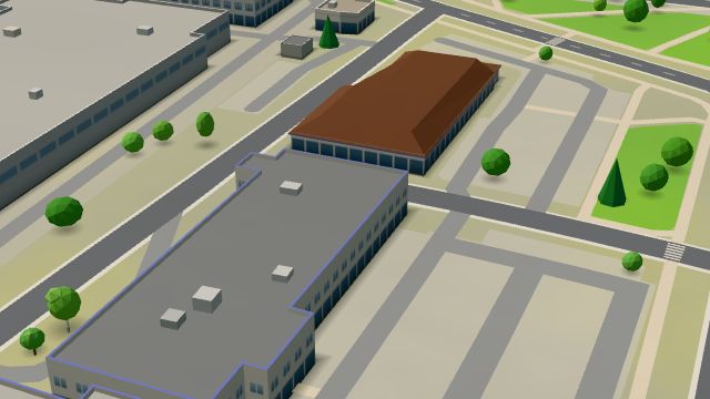 City model
 from OpenStreetMap and ČÚZK data, ODbL Pošta Ústí nad Labem 7
Closed · opens at 8:00
-
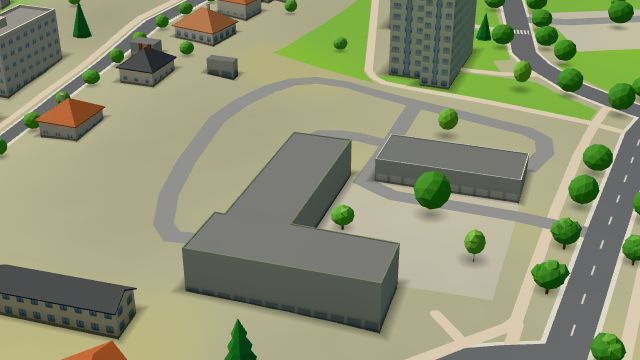 City model
 from OpenStreetMap and ČÚZK data, ODbL Autoškola Koruna
Closed · opens at 8:00
-
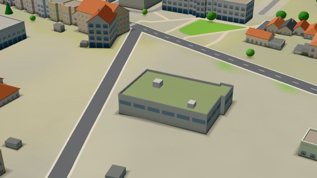 City model
 from OpenStreetMap and ČÚZK data, ODbL Swiss Automotive Group CZ
Closed · opens at 8:00
-
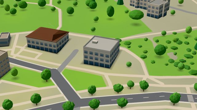 City model
 from OpenStreetMap and ČÚZK data, ODbL Zastavárna & Bazar Výsluní
Closed · opens at 9:00
-
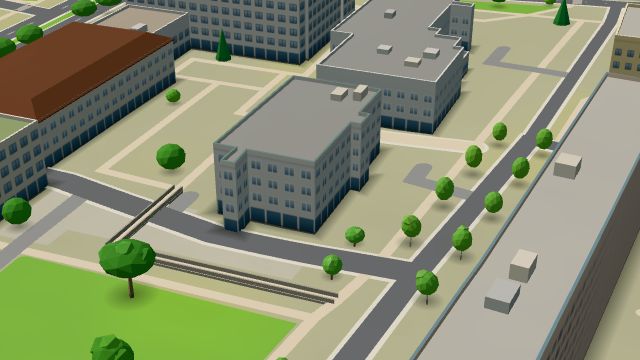 City model
 from OpenStreetMap and ČÚZK data, ODbL Dr. Max
Closed · opens at 8:00
-
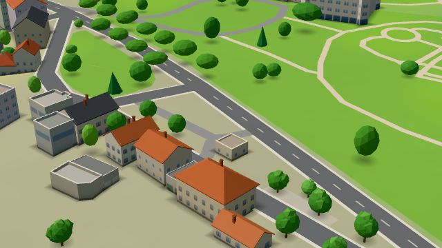 City model
 from OpenStreetMap and ČÚZK data, ODbL EuroOil Ústí nad Labem, Krásné Březno
Open · closes at 20:00
-
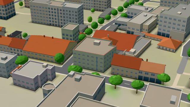 City model
 from OpenStreetMap and ČÚZK data, ODbL Hraničář
Closed · opens at 10:00
-
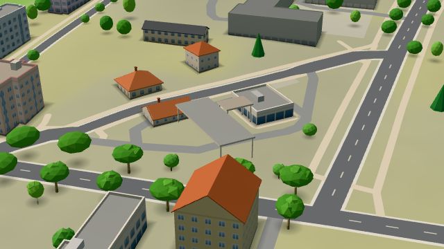 City model
 from OpenStreetMap and ČÚZK data, ODbL Benzina, Ústí nad Labem, Neštěmická
Open 24 hours
-
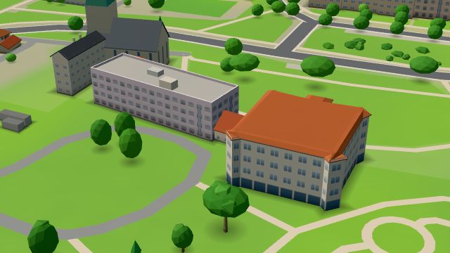 City model
 from OpenStreetMap and ČÚZK data, ODbL -
 City model
 from OpenStreetMap and ČÚZK data, ODbL Čarodějky
Closed · opens at 13:00
-
 City model
 from OpenStreetMap and ČÚZK data, ODbL -
 City model
 from OpenStreetMap and ČÚZK data, ODbL -
 City model
 from OpenStreetMap and ČÚZK data, ODbL -
 City model
 from OpenStreetMap and ČÚZK data, ODbL -
 City model
 from OpenStreetMap and ČÚZK data, ODbL -
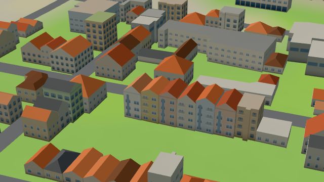 City model
 from OpenStreetMap and ČÚZK data, ODbL -
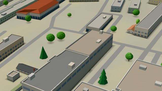 City model
 from OpenStreetMap and ČÚZK data, ODbL
What is here
- Shops 25
- Health 18
- Services 18
- Schools 11
- Landmarks 7
- Restaurants 6
- Sport 5
- Bars and pubs 4
- Parks and nature 4
- Culture 1
- Accommodation 1
- Doctors 12
- Car repair and tyres 12
- Groceries and supermarkets 4
- Nursery schools 4
- Car dealers 4
- Gyms 4
- Petrol stations 4
- Clothes and fashion 3
- Primary schools 3
- Secondary schools 3
- Dentists 2
- Hairdressers and barbers 2
- Nightlife 2
- Beauty and nails 1
- Physiotherapy 1
- Pharmacies 1
- Hospitals and clinics 1
- Electronics and phones 1
- Gifts and souvenirs 1
- Churches 1
- Banks and cash 1
- Blood tests 1
- Drugstores 1
- Furniture and home 1
- Driving schools 1
- Bakeries 1
- Pets 1
- Car washes 1
- Post offices 1
- Bikes 1
- Art and music schools 1
- Czech food 1
- Music 1
- Speech therapists 1