


Doubí
Businesses and places in Doubí, Karlovy Vary: 43 places.
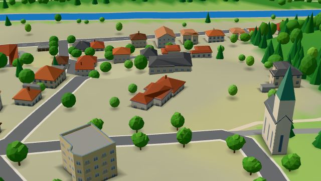
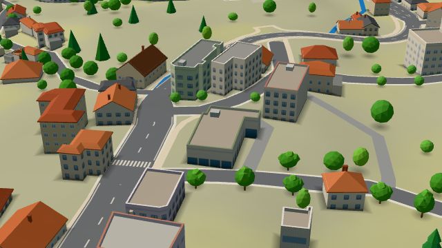
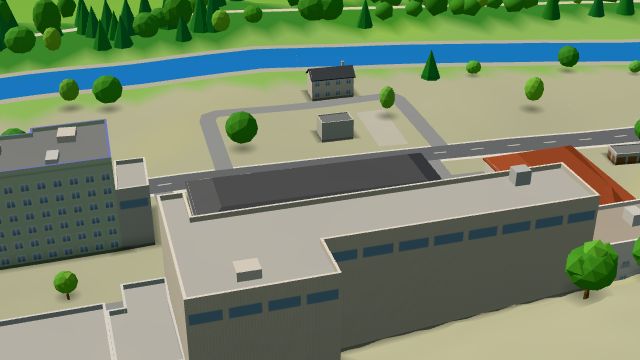
Doubí lies six kilometres south-west of the centre, mostly within the Slavkovský les protected landscape area, and the main cycle route from Karlovy Vary to Loket runs through it along the Ohře, through the valley of the Svatošské skály rocks. On a spur above the Ohře stands the Doubí chateau, protected since 1964 and rebuilt from 1868 to 1885 in neo-Renaissance style with Moorish touches; the Vánoční dům is right beside it. Doubí was last a municipality of its own from 1950 to 1974 and has been part of Karlovy Vary since 1 July 1974. It has plenty of guesthouses and the Kemp Liapor sport centrum campsite, and Restaurace U Záboje and Zlatá Štika serve meals.
Results
-
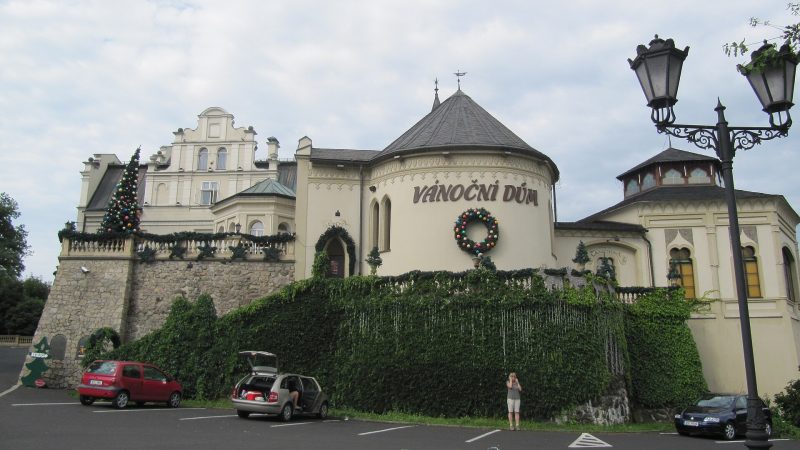
Photo: Palickap, CC BY-SA 3.0 -
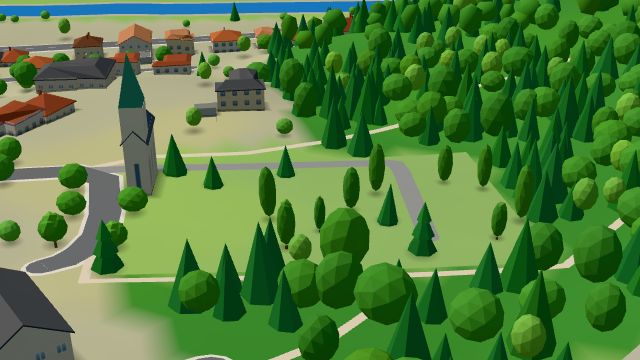 City model
 from OpenStreetMap and ČÚZK data, ODbL Karlovy Vary - Doubí
Open 24 hours
-
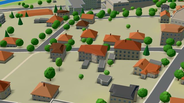 City model
 from OpenStreetMap and ČÚZK data, ODbL Restaurace U Záboje
Closed · opens at 18:00
-
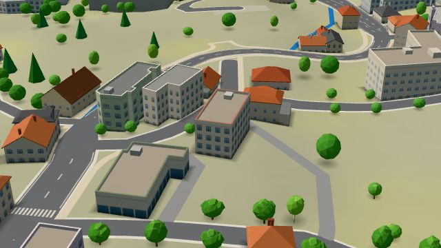 City model
 from OpenStreetMap and ČÚZK data, ODbL Zlatá Štika
Closed · opens at 11:00
-
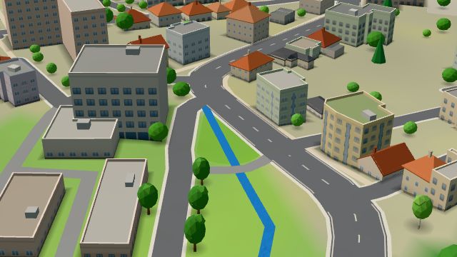 City model
 from OpenStreetMap and ČÚZK data, ODbL -
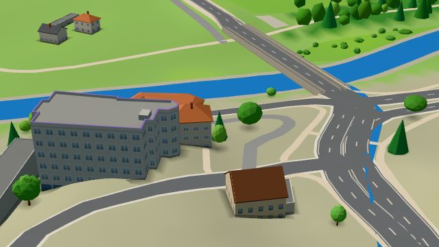 City model
 from OpenStreetMap and ČÚZK data, ODbL -
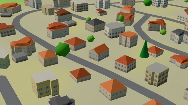 City model
 from OpenStreetMap and ČÚZK data, ODbL -
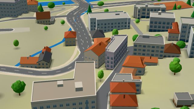 City model
 from OpenStreetMap and ČÚZK data, ODbL -
 City model
 from OpenStreetMap and ČÚZK data, ODbL -
 City model
 from OpenStreetMap and ČÚZK data, ODbL -
 City model
 from OpenStreetMap and ČÚZK data, ODbL -
 City model
 from OpenStreetMap and ČÚZK data, ODbL -
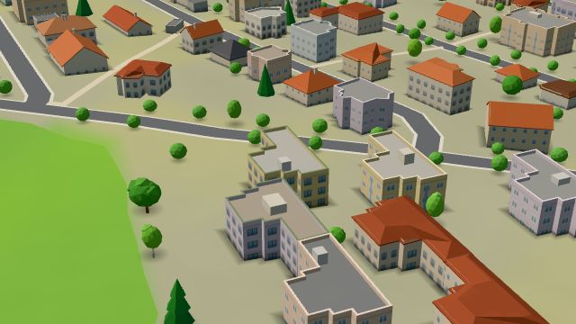 City model
 from OpenStreetMap and ČÚZK data, ODbL -
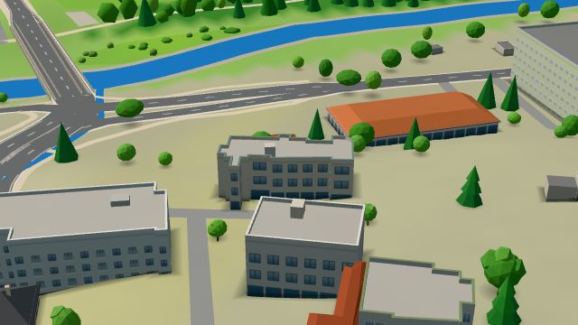 City model
 from OpenStreetMap and ČÚZK data, ODbL -
 City model
 from OpenStreetMap and ČÚZK data, ODbL -
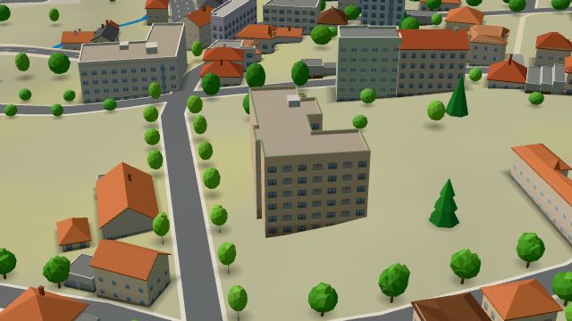 City model
 from OpenStreetMap and ČÚZK data, ODbL -
 City model
 from OpenStreetMap and ČÚZK data, ODbL -
 City model
 from OpenStreetMap and ČÚZK data, ODbL -
 City model
 from OpenStreetMap and ČÚZK data, ODbL -
 City model
 from OpenStreetMap and ČÚZK data, ODbL -
 City model
 from OpenStreetMap and ČÚZK data, ODbL -
 City model
 from OpenStreetMap and ČÚZK data, ODbL -
 City model
 from OpenStreetMap and ČÚZK data, ODbL -
 City model
 from OpenStreetMap and ČÚZK data, ODbL
What is here
- Accommodation 13
- Shops 6
- Schools 6
- Restaurants 5
- Health 5
- Landmarks 3
- Cafés 1
- Bars and pubs 1
- Culture 1
- Services 1
- Sport 1
- Doctors 3
- Primary schools 3
- Nursery schools 3
- Car repair and tyres 2
- Dentists 1
- Furniture and home 1
- Electronics and phones 1
- Hairdressers and barbers 1
- Czech food 1
- Museums and galleries 1
- Hardware and DIY 1
- Car dealers 1
- Psychologists and therapists 1
- Italian food 1