


Primary schools in Karlovy Vary
Primary schools in Karlovy Vary: 25 places in one list and on the 3D map, with address and contact details where we know them. Most are in Karlovy Vary-centrum, Stará Role and Rybáře.
Primary schools in Karlovy Vary, from the Register of Schools: schools in the centre, Rybáře, Stará Role, Drahovice, Dvory and Tuhnice, among them the Dukelských hrdinů school, the school of languages or the school joined to an art school on Šmeralova street, plus the Wlaštovka Waldorf school, Montessori schools, the Skulina democratic school, a school for pupils with specific learning difficulties and a school at the health care facilities. Enrolment for first grade is in April and the catchment school follows the home address.
Results
-
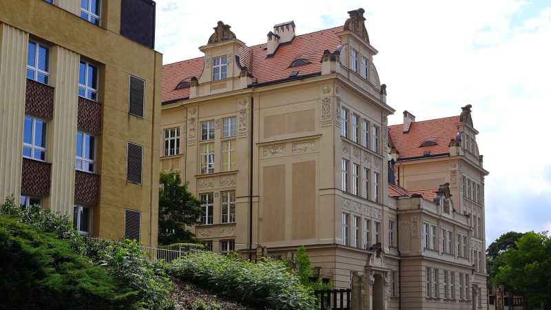
Photo: Lubor Ferenc, CC BY-SA 4.0 -
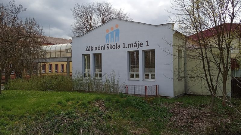
Photo: JiriMatejicek, CC BY-SA 4.0 -
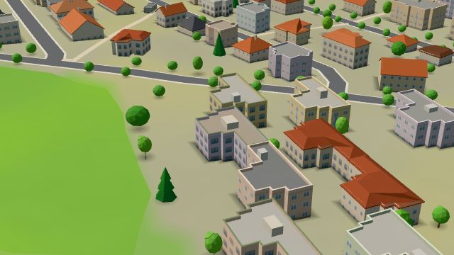 City model
 from OpenStreetMap and ČÚZK data, ODbL -
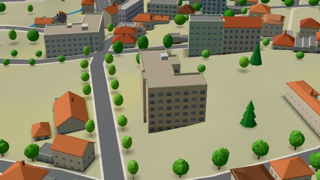 City model
 from OpenStreetMap and ČÚZK data, ODbL -
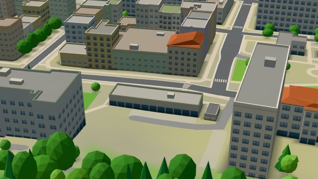 City model
 from OpenStreetMap and ČÚZK data, ODbL -
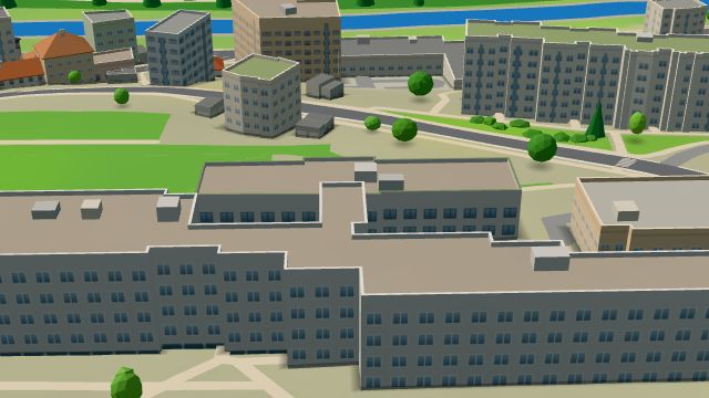 City model
 from OpenStreetMap and ČÚZK data, ODbL -
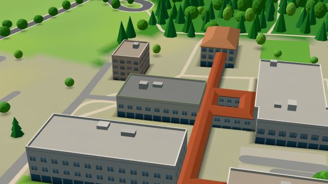 City model
 from OpenStreetMap and ČÚZK data, ODbL -
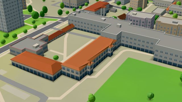 City model
 from OpenStreetMap and ČÚZK data, ODbL -
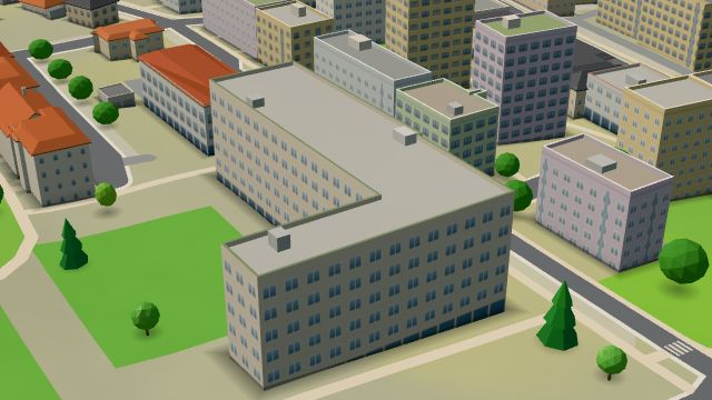 City model
 from OpenStreetMap and ČÚZK data, ODbL -
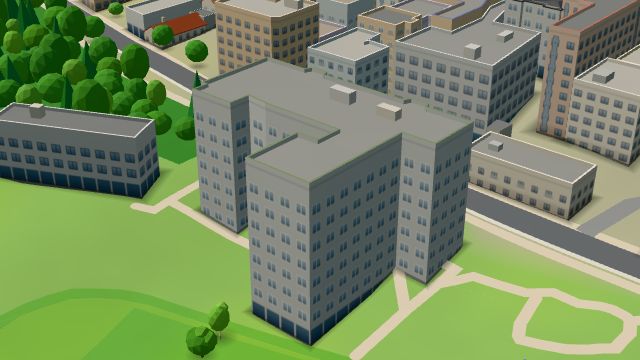 City model
 from OpenStreetMap and ČÚZK data, ODbL -
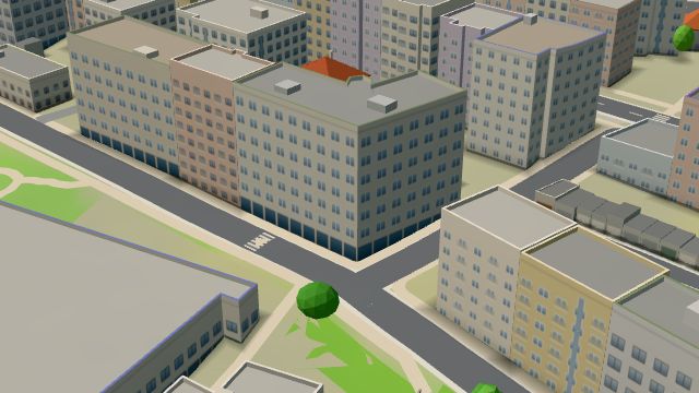 City model
 from OpenStreetMap and ČÚZK data, ODbL -
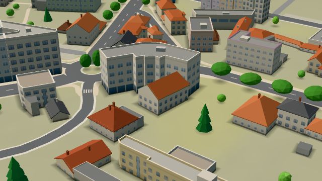 City model
 from OpenStreetMap and ČÚZK data, ODbL -
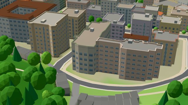 City model
 from OpenStreetMap and ČÚZK data, ODbL -
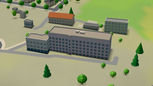 City model
 from OpenStreetMap and ČÚZK data, ODbL -
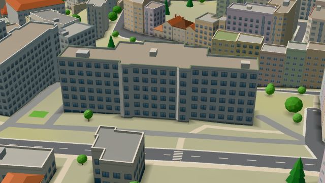 City model
 from OpenStreetMap and ČÚZK data, ODbL -
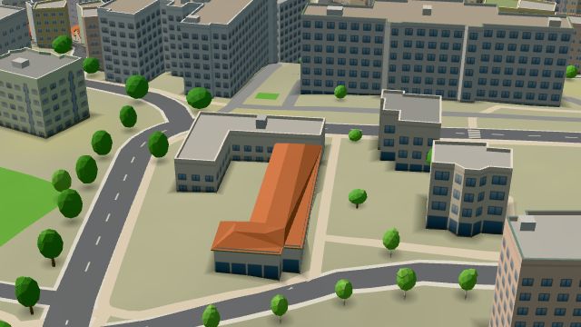 City model
 from OpenStreetMap and ČÚZK data, ODbL -
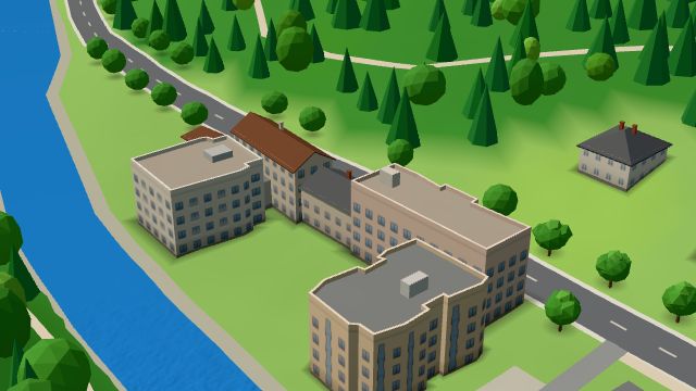 City model
 from OpenStreetMap and ČÚZK data, ODbL -
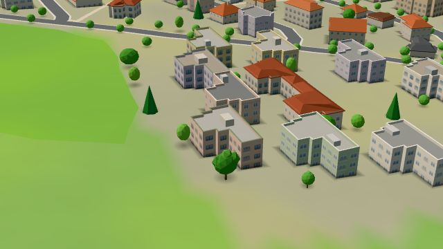 City model
 from OpenStreetMap and ČÚZK data, ODbL -
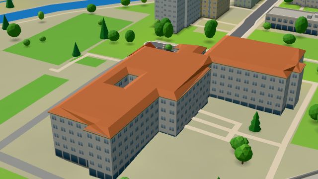 City model
 from OpenStreetMap and ČÚZK data, ODbL -
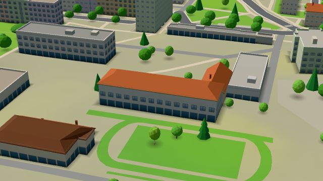 City model
 from OpenStreetMap and ČÚZK data, ODbL -
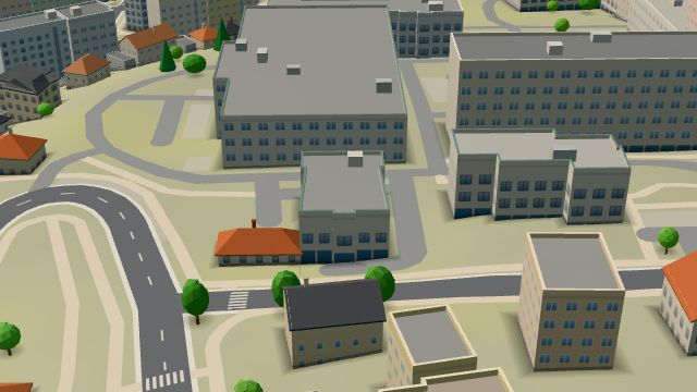 City model
 from OpenStreetMap and ČÚZK data, ODbL -
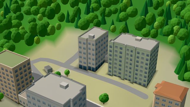 City model
 from OpenStreetMap and ČÚZK data, ODbL -
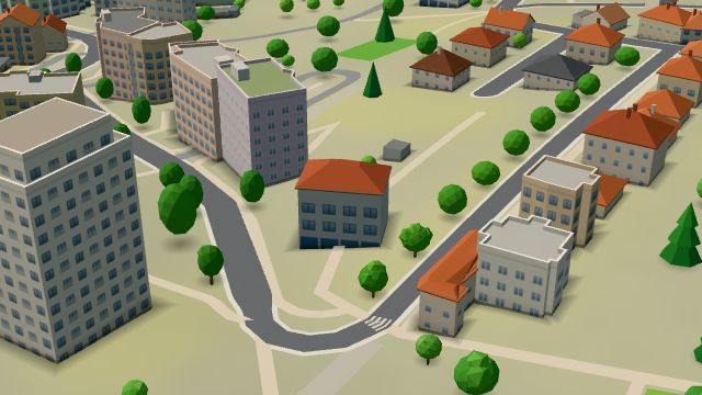 City model
 from OpenStreetMap and ČÚZK data, ODbL -
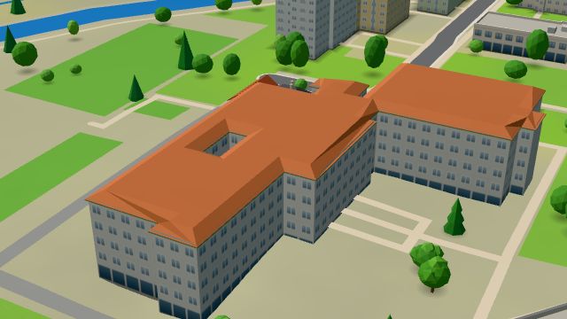 City model
 from OpenStreetMap and ČÚZK data, ODbL