


Tuhnice
Businesses and places in Tuhnice, Karlovy Vary: 77 places.
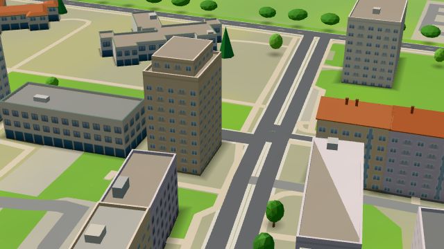
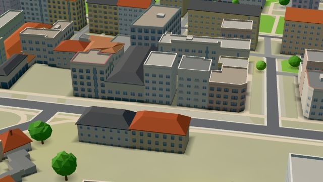
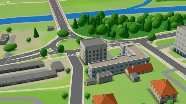
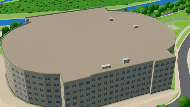
Tuhnice lies on the right bank of the Ohře and became part of Karlovy Vary on 1 January 1928. Its railway depot was destroyed in the air raid of 19 April 1945 along with dozens of houses, and the Krymská housing estate was built on the bombed site. The Stadion Závodu míru followed in the late 1950s and in 2009 the city's multi-purpose arena, first called KV Arena, with the Karlovy Vary-Aréna railway halt beside it since 2020. The Tuhnické lípy, protected lime trees, grow here, Restaurace U Draka serves meals, Penzion EDEN has rooms and the Dvorský most crosses the Ohře.
Results
-
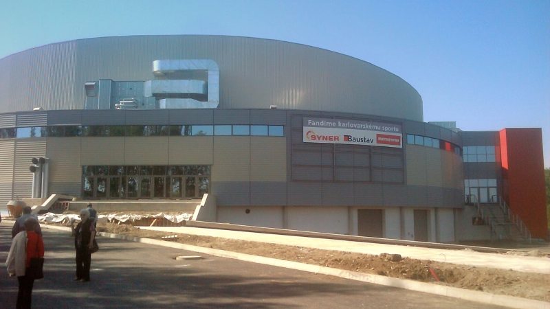
Photo: Hs64, CC BY-SA 3.0 -
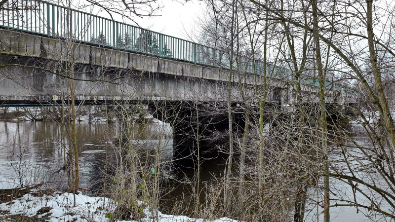
Photo: Lubor Ferenc, CC BY-SA 4.0 -
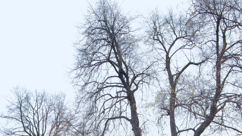
Photo: Lubor Ferenc, CC BY-SA 4.0 -
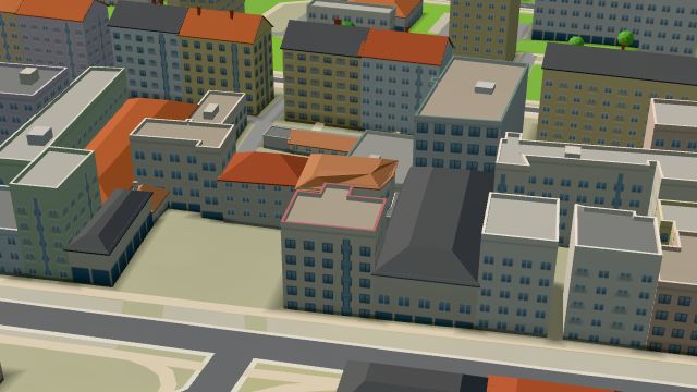 City model
 from OpenStreetMap and ČÚZK data, ODbL U Kubrychtů
Closed · opens at 11:00
-
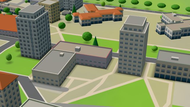 City model
 from OpenStreetMap and ČÚZK data, ODbL lezecka stena Crux
Closed · opens at 16:00
-
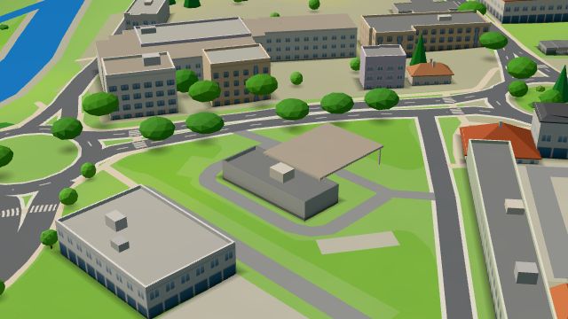 City model
 from OpenStreetMap and ČÚZK data, ODbL OMV KV, Západní
Open 24 hours
-
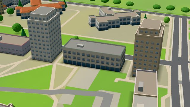 City model
 from OpenStreetMap and ČÚZK data, ODbL -
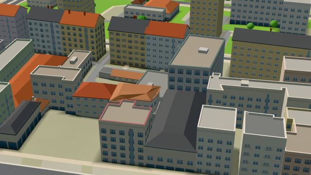 City model
 from OpenStreetMap and ČÚZK data, ODbL -
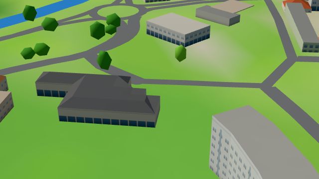 City model
 from OpenStreetMap and ČÚZK data, ODbL -
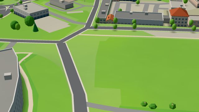 City model
 from OpenStreetMap and ČÚZK data, ODbL -
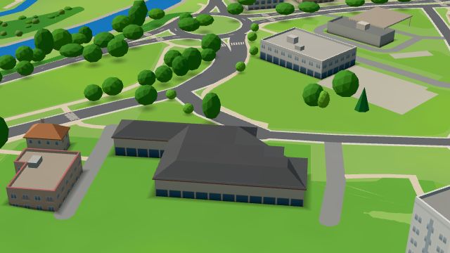 City model
 from OpenStreetMap and ČÚZK data, ODbL -
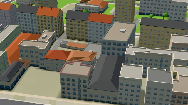 City model
 from OpenStreetMap and ČÚZK data, ODbL -
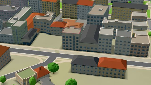 City model
 from OpenStreetMap and ČÚZK data, ODbL -
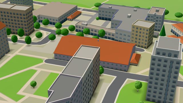 City model
 from OpenStreetMap and ČÚZK data, ODbL -
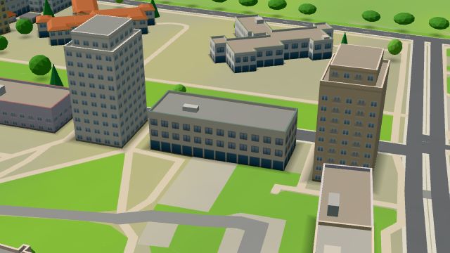 City model
 from OpenStreetMap and ČÚZK data, ODbL -
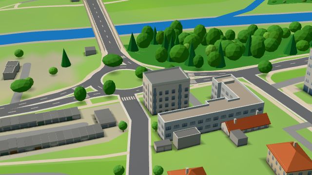 City model
 from OpenStreetMap and ČÚZK data, ODbL -
 City model
 from OpenStreetMap and ČÚZK data, ODbL -
 City model
 from OpenStreetMap and ČÚZK data, ODbL -
 City model
 from OpenStreetMap and ČÚZK data, ODbL -
 City model
 from OpenStreetMap and ČÚZK data, ODbL -
 City model
 from OpenStreetMap and ČÚZK data, ODbL -
 City model
 from OpenStreetMap and ČÚZK data, ODbL -
 City model
 from OpenStreetMap and ČÚZK data, ODbL -
 City model
 from OpenStreetMap and ČÚZK data, ODbL
What is here
- Health 26
- Shops 13
- Sport 12
- Restaurants 5
- Schools 5
- Services 5
- Accommodation 3
- Cafés 2
- Parks and nature 2
- Wellness 2
- Bars and pubs 1
- Landmarks 1
- Doctors 12
- Gyms 4
- Physiotherapy 4
- Dentists 3
- Furniture and home 3
- Nursery schools 3
- Hairdressers and barbers 3
- Psychologists and therapists 3
- Clothes and fashion 1
- Beauty and nails 1
- Groceries and supermarkets 1
- Primary schools 1
- Flowers 1
- Drugstores 1
- Tobacconists 1
- Italian food 1
- Petrol stations 1
- Massage 1
- Driving schools 1