


Hošťálkovice
Businesses and places in Hošťálkovice, Ostrava: 23 places.
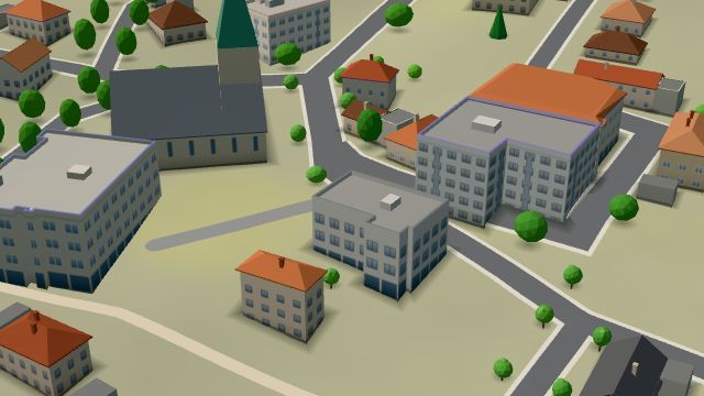
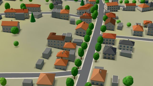
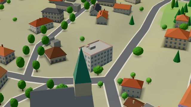
Hošťálkovice sits on high ground in the north of Ostrava above the point where the Opava flows into the Oder, on the left bank of both. Almost all of it belongs to the Hlučín Region, and from 1742 to 1920 it was the southernmost village of Prussian Silesia; it joined Ostrava in April 1976. Finds on nearby Hladový vrch hill point to prehistoric settlement, and the village has the church of All Saints, built in 1793 and later remodelled in neo-Romanesque style, a small lookout tower and, to the north, a TV transmitter.
Results
-
 City model
 from OpenStreetMap and ČÚZK data, ODbL Pošta Ostrava 28
Closed · opens at 14:00
-
 City model
 from OpenStreetMap and ČÚZK data, ODbL -
 City model
 from OpenStreetMap and ČÚZK data, ODbL -
 City model
 from OpenStreetMap and ČÚZK data, ODbL -
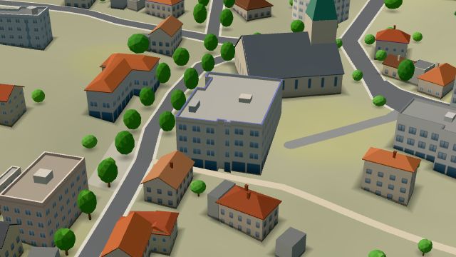 City model
 from OpenStreetMap and ČÚZK data, ODbL Potraviny Nguyen Van Khoi
Open · closes at 19:00
-
 City model
 from OpenStreetMap and ČÚZK data, ODbL -
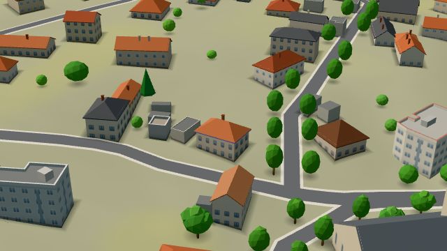 City model
 from OpenStreetMap and ČÚZK data, ODbL -
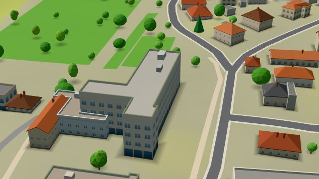 City model
 from OpenStreetMap and ČÚZK data, ODbL -
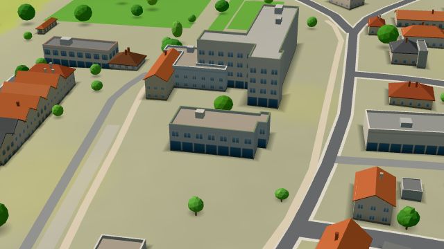 City model
 from OpenStreetMap and ČÚZK data, ODbL -
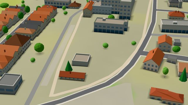 City model
 from OpenStreetMap and ČÚZK data, ODbL -
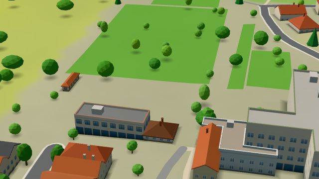 City model
 from OpenStreetMap and ČÚZK data, ODbL -
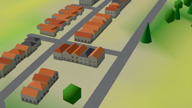 City model
 from OpenStreetMap and ČÚZK data, ODbL -
 City model
 from OpenStreetMap and ČÚZK data, ODbL -
 City model
 from OpenStreetMap and ČÚZK data, ODbL -
 City model
 from OpenStreetMap and ČÚZK data, ODbL -
 City model
 from OpenStreetMap and ČÚZK data, ODbL -
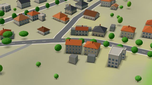 City model
 from OpenStreetMap and ČÚZK data, ODbL -
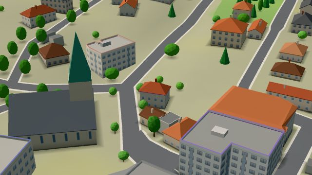 City model
 from OpenStreetMap and ČÚZK data, ODbL -
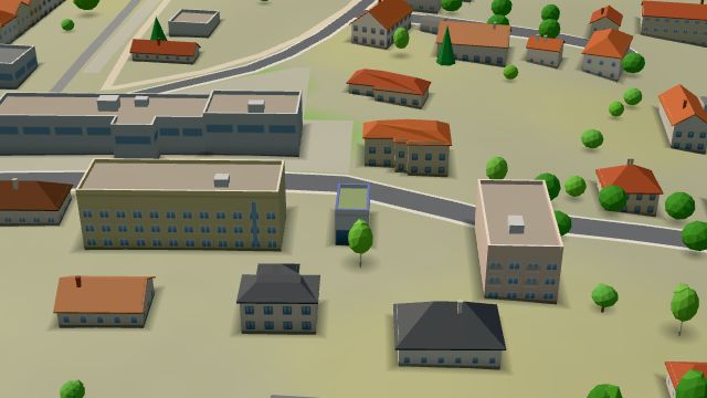 City model
 from OpenStreetMap and ČÚZK data, ODbL -
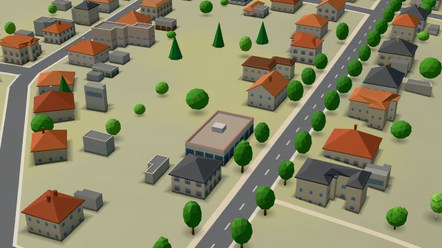 City model
 from OpenStreetMap and ČÚZK data, ODbL -
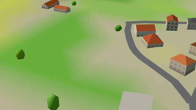 City model
 from OpenStreetMap and ČÚZK data, ODbL -
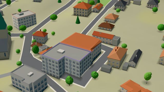 City model
 from OpenStreetMap and ČÚZK data, ODbL -
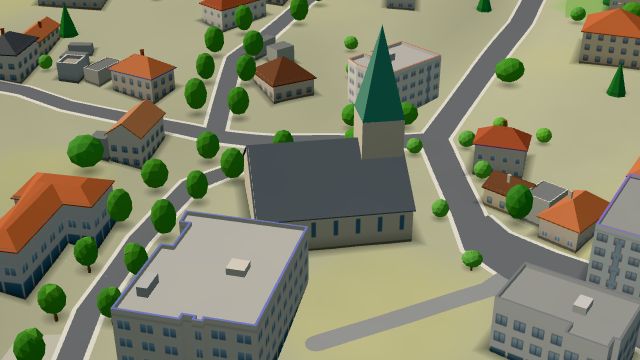 City model
 from OpenStreetMap and ČÚZK data, ODbL
What is here
- Shops 5
- Sport 4
- Restaurants 3
- Culture 3
- Schools 3
- Bars and pubs 1
- Landmarks 1
- Health 1
- Services 1
- Wellness 1
- Czech food 3
- Groceries and supermarkets 2
- Nursery schools 2
- Doctors 1
- Clothes and fashion 1
- Primary schools 1
- Gyms 1
- Museums and galleries 1
- Churches 1
- Bakeries 1
- Massage 1
- Nightlife 1
- Italian food 1
- Breweries 1
- Post offices 1
- Shopping centres 1
- Music 1
- Pizza 1
- Burgers 1
- Libraries 1