


Schools in Ostrava
Schools in Ostrava: 390 places in one list and on the 3D map, with address and contact details where we know them. Most are in Ostrava-Jih, Moravská Ostrava a Přívoz and Poruba.
Nursery, primary and secondary schools, grammar schools, a conservatoire, art and language schools and universities in Ostrava, including the VŠB-TUO campus in Poruba and the faculties of the University of Ostrava in the centre and in Mariánské Hory. Each school has its address and website, secondary schools their courses. The levels have pages of their own further down.
- Ostrava-Jih 92
- Moravská Ostrava a Přívoz 73
- Poruba 67
- Mariánské Hory a Hulváky 36
- Slezská Ostrava 32
- Vítkovice 29
- Radvanice a Bartovice 8
- Svinov 7
- Petřkovice 5
Results
-
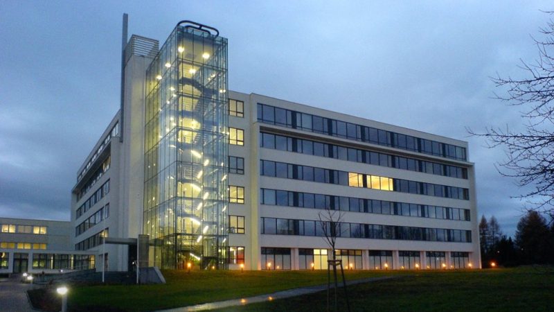
Photo: Yarp, CC BY-SA 4.0 -
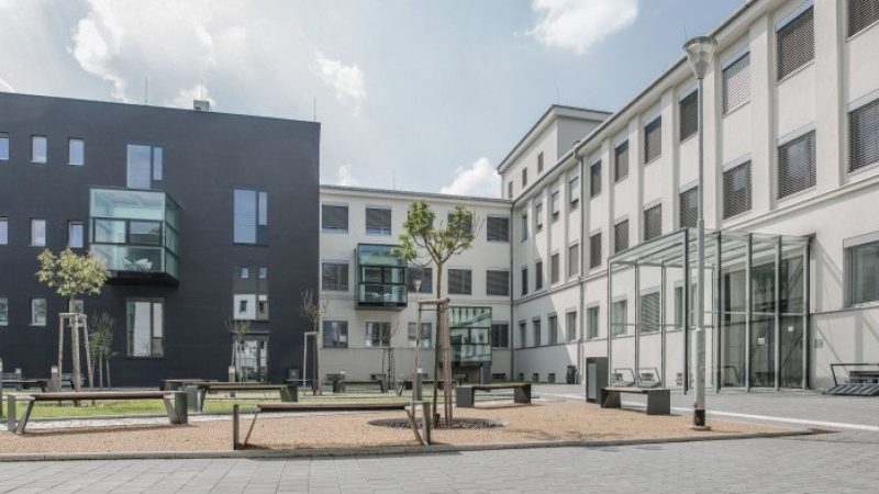
Photo: LF OU, CC BY-SA 4.0 -
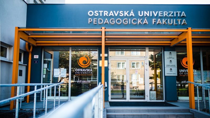
Photo: Kravalová, CC BY-SA 4.0 -
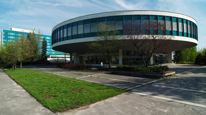
Photo: Zoran Holzmann, CC BY-SA 2.5 -
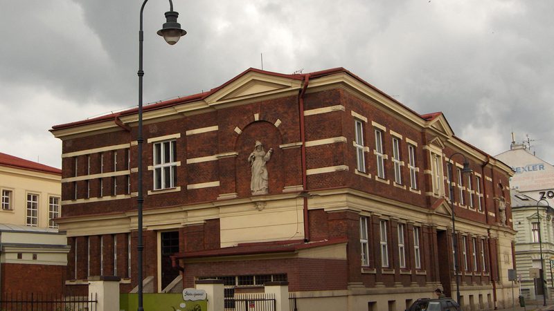
Photo: eL Ka from Ostrava, Czech Republic, CC BY 2.0 -
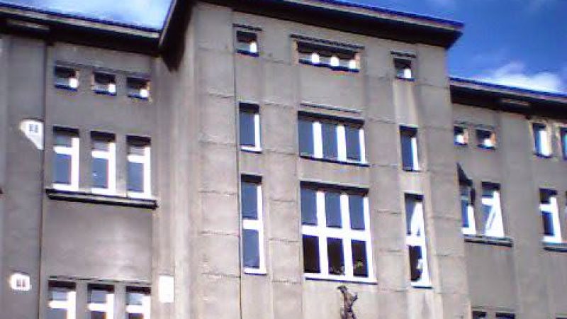
Photo: Qasinka, Public domain -
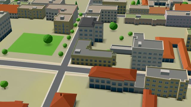 City model
 from OpenStreetMap and ČÚZK data, ODbL Autoškola SUNNY
Closed · opens at 8:00
-
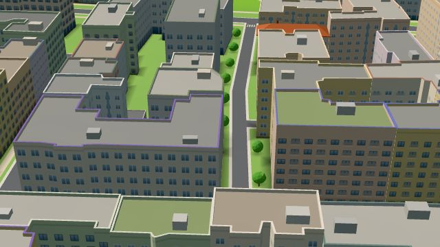 City model
 from OpenStreetMap and ČÚZK data, ODbL -
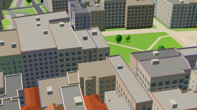 City model
 from OpenStreetMap and ČÚZK data, ODbL -
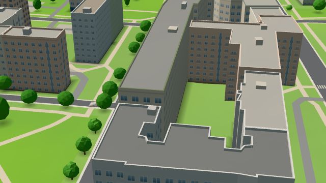 City model
 from OpenStreetMap and ČÚZK data, ODbL -
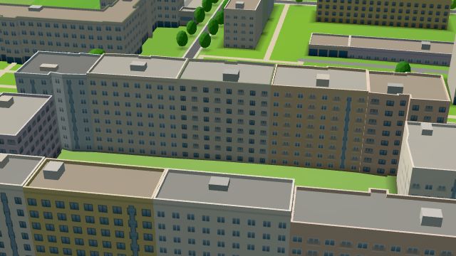 City model
 from OpenStreetMap and ČÚZK data, ODbL -
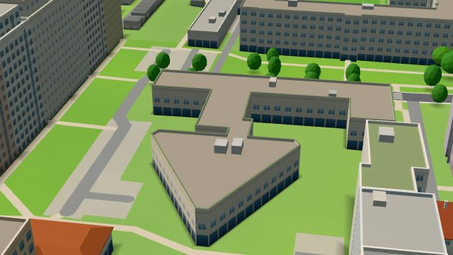 City model
 from OpenStreetMap and ČÚZK data, ODbL -
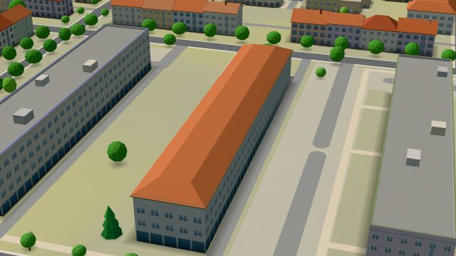 City model
 from OpenStreetMap and ČÚZK data, ODbL -
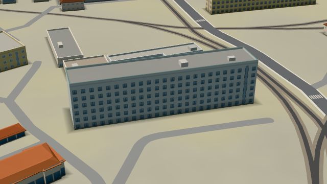 City model
 from OpenStreetMap and ČÚZK data, ODbL -
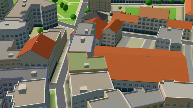 City model
 from OpenStreetMap and ČÚZK data, ODbL -
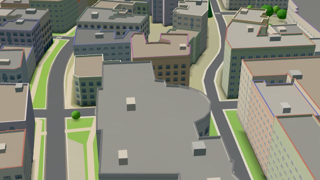 City model
 from OpenStreetMap and ČÚZK data, ODbL -
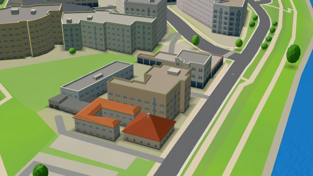 City model
 from OpenStreetMap and ČÚZK data, ODbL -
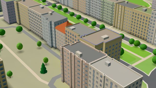 City model
 from OpenStreetMap and ČÚZK data, ODbL -
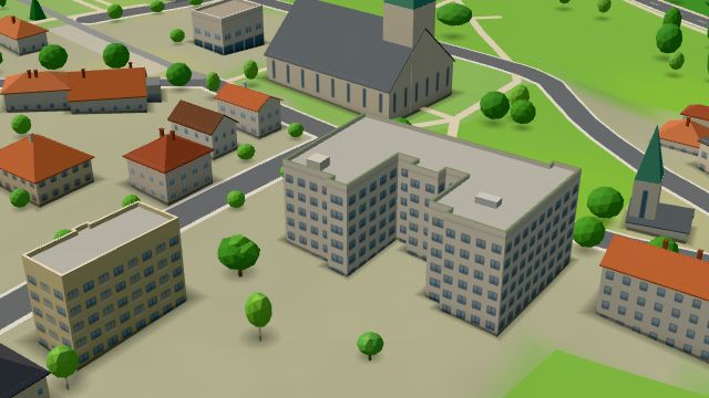 City model
 from OpenStreetMap and ČÚZK data, ODbL -
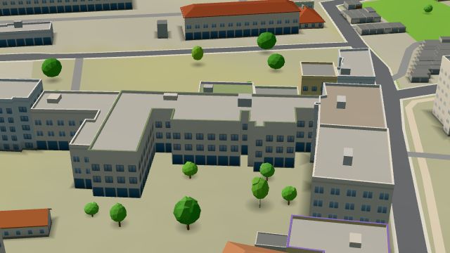 City model
 from OpenStreetMap and ČÚZK data, ODbL -
 City model
 from OpenStreetMap and ČÚZK data, ODbL -
 City model
 from OpenStreetMap and ČÚZK data, ODbL -
 City model
 from OpenStreetMap and ČÚZK data, ODbL -
 City model
 from OpenStreetMap and ČÚZK data, ODbL