


Hrabová
Businesses and places in Hrabová, Ostrava: 87 places.
Hrabová lies on the southern side of Ostrava, with the Ostravice flowing through it. Its name comes from the hornbeam, and its people lived from farming and above all fishing, with village ponds stretching from Paskov to Hrabůvka. Joined to Moravská Ostrava in 1941, it was independent again from 1957 to 1960 before becoming part of the city for good. It is known for the wooden church of St Catherine of Alexandria, which also appears in the district's arms, the Šídlovec colony, once nicknamed Berlín, and the Mokřady Hrabová wetlands.
Results
-
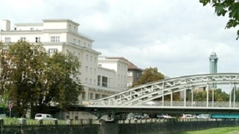
Photo: Jarmila Book, CC BY-SA 4.0 Knihovna města Ostravy
Closed · opens Friday at 8:00
-
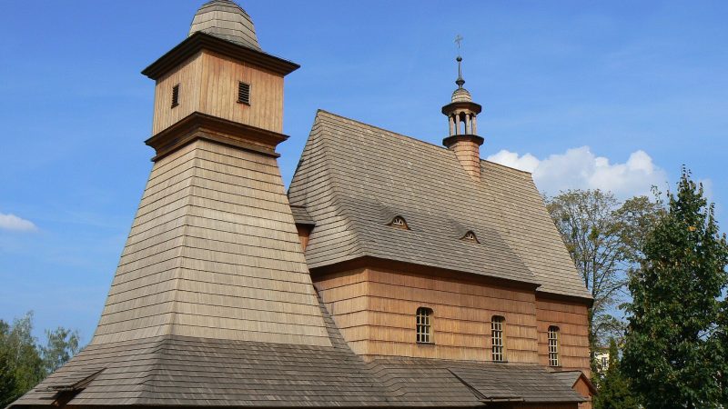
Photo: Martin Fred, CC BY-SA 3.0 -
 City model
 from OpenStreetMap and ČÚZK data, ODbL Benu
Closed · opens at 8:00
-
 City model
 from OpenStreetMap and ČÚZK data, ODbL Lékárna Na Šídlovci
Open · closes at 13:00
-
 City model
 from OpenStreetMap and ČÚZK data, ODbL Strips Chips
Closed · opens at 9:00
-
 City model
 from OpenStreetMap and ČÚZK data, ODbL Swiss Automotive Group CZ
Closed · opens at 8:00
-
 City model
 from OpenStreetMap and ČÚZK data, ODbL JIP Cash & Carry
Open · closes at 21:00
-
 City model
 from OpenStreetMap and ČÚZK data, ODbL Makro
Open · closes at 21:00
-
 City model
 from OpenStreetMap and ČÚZK data, ODbL Orlen
Open · closes at 22:00
-
 City model
 from OpenStreetMap and ČÚZK data, ODbL Orlen
Open · closes at 21:00
-
 City model
 from OpenStreetMap and ČÚZK data, ODbL Orlen
Open · closes at 21:00
-
 City model
 from OpenStreetMap and ČÚZK data, ODbL Pošta Ostrava 20
Closed · opens at 8:00
-
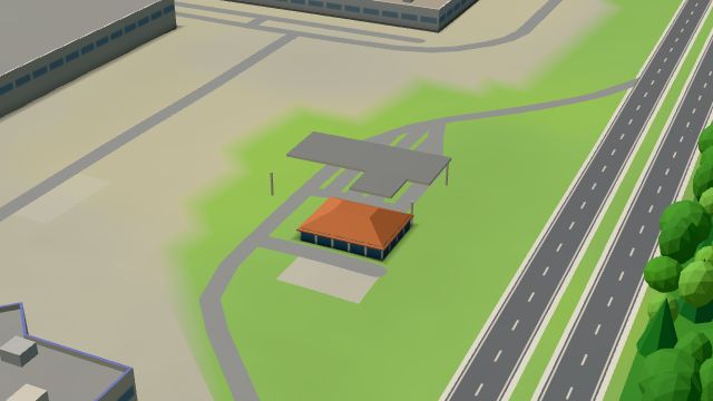 City model
 from OpenStreetMap and ČÚZK data, ODbL Stop Cafe
Open · closes at 22:00
-
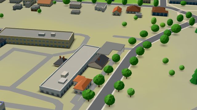 City model
 from OpenStreetMap and ČÚZK data, ODbL Stop Cafe
Open · closes at 21:00
-
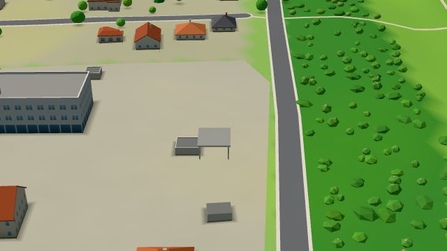 City model
 from OpenStreetMap and ČÚZK data, ODbL W8, Hrabová
Open · closes at 16:00
-
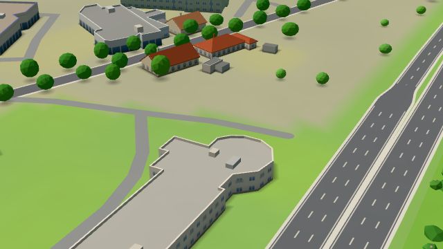 City model
 from OpenStreetMap and ČÚZK data, ODbL -
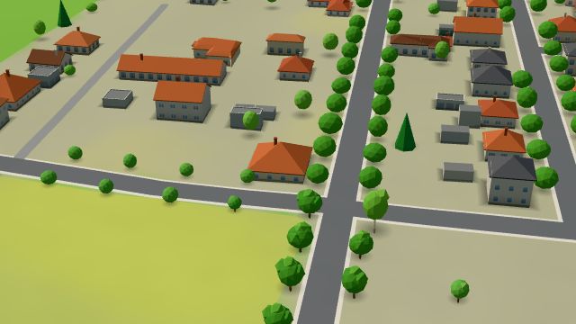 City model
 from OpenStreetMap and ČÚZK data, ODbL -
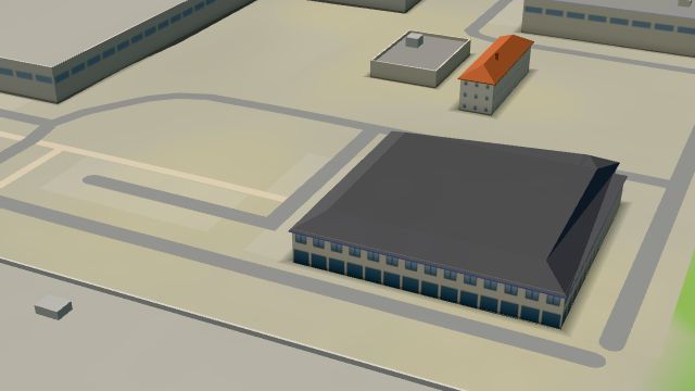 City model
 from OpenStreetMap and ČÚZK data, ODbL -
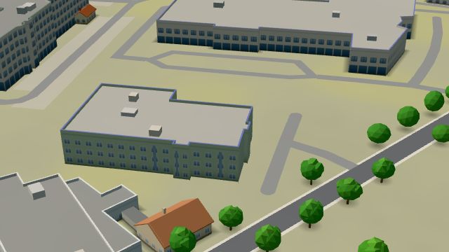 City model
 from OpenStreetMap and ČÚZK data, ODbL -
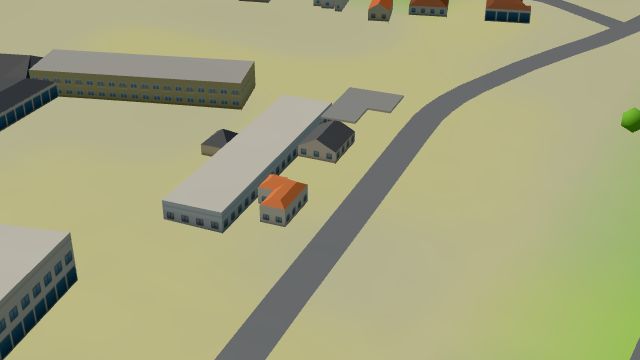 City model
 from OpenStreetMap and ČÚZK data, ODbL -
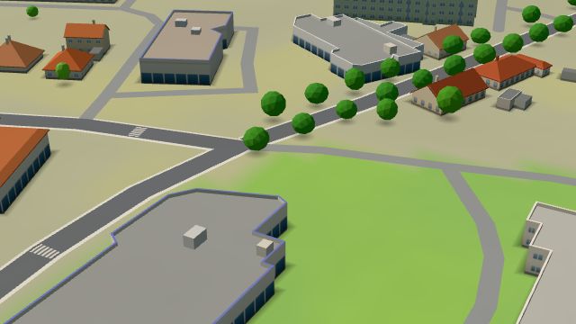 City model
 from OpenStreetMap and ČÚZK data, ODbL -
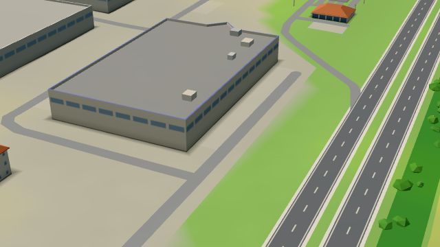 City model
 from OpenStreetMap and ČÚZK data, ODbL -
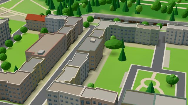 City model
 from OpenStreetMap and ČÚZK data, ODbL -
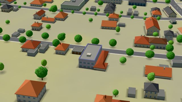 City model
 from OpenStreetMap and ČÚZK data, ODbL
What is here
- Shops 42
- Health 12
- Services 11
- Restaurants 7
- Cafés 5
- Schools 4
- Sport 2
- Bars and pubs 1
- Culture 1
- Landmarks 1
- Parks and nature 1
- Groceries and supermarkets 9
- Car repair and tyres 7
- Car dealers 6
- Doctors 5
- Clothes and fashion 5
- Petrol stations 5
- Furniture and home 4
- Flowers 4
- Primary schools 3
- Physiotherapy 2
- Pharmacies 2
- Czech food 2
- Car washes 2
- Dentists 1
- Nursery schools 1
- Gyms 1
- Electronics and phones 1
- Hospitals and clinics 1
- Churches 1
- Hardware and DIY 1
- Shoes 1
- Pets 1
- Bikes 1
- Post offices 1
- Libraries 1