


Martinov
Businesses and places in Martinov, Ostrava: 37 places.
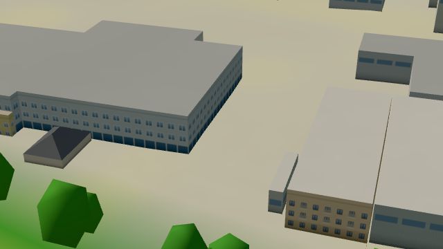
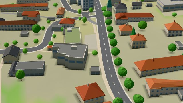
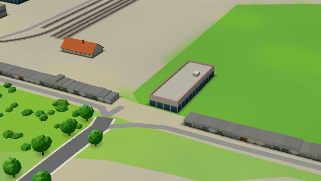
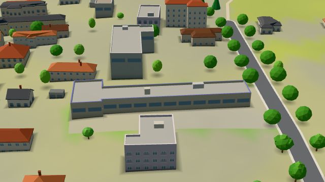
Martinov is a former farming village on the right bank of the Opava, first recorded in 1424 and part of Ostrava since 1 July 1961. It kept its rural character while industry grew all around, though a large food-processing plant was built after it joined the city. The Plesenský potok stream runs through it, the Turkov nature monument, a floodplain forest, lies in the south, and the village arms show Saint Martin on horseback cutting his cloak.
Results
-
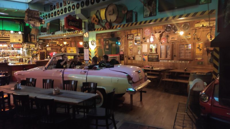
Photo: Fry72 , Karel FRYDRÝŠEK, CC BY-SA 4.0 Garage Club
Closed · opens at 11:00
-
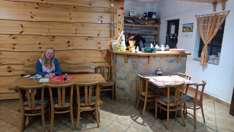
Photo: Fry72 (Karel Frydrýšek), CC BY-SA 4.0 Hospůdka U Rošťáka
Closed · opens at 15:00
-
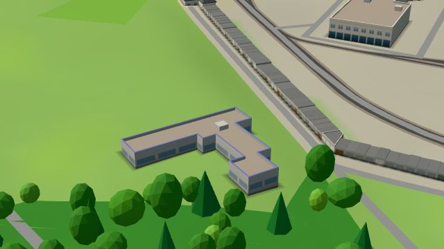 City model
 from OpenStreetMap and ČÚZK data, ODbL MAROKO Interiér s.r.o.
Closed · opens at 8:00
-
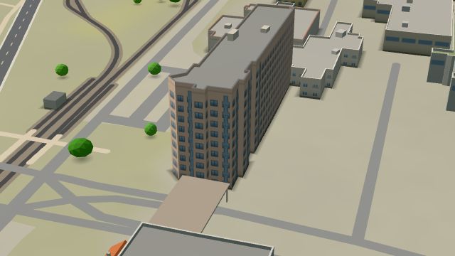 City model
 from OpenStreetMap and ČÚZK data, ODbL Pošta Ostrava 23
Closed · opens at 9:00
-
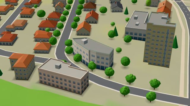 City model
 from OpenStreetMap and ČÚZK data, ODbL -
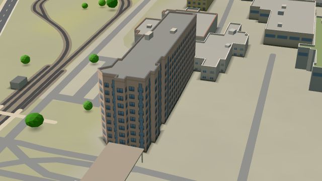 City model
 from OpenStreetMap and ČÚZK data, ODbL -
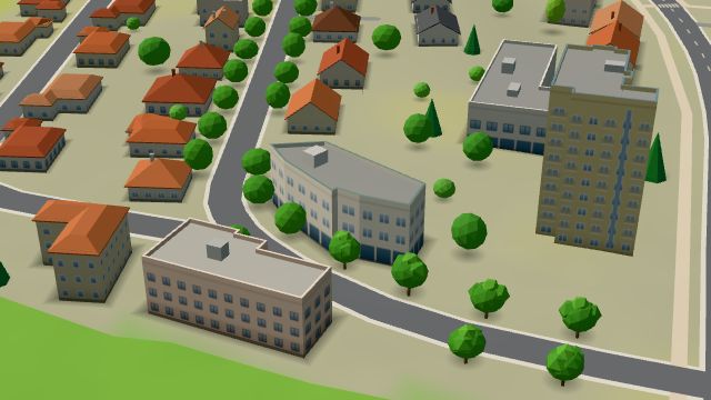 City model
 from OpenStreetMap and ČÚZK data, ODbL -
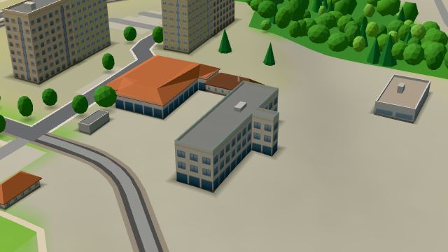 City model
 from OpenStreetMap and ČÚZK data, ODbL -
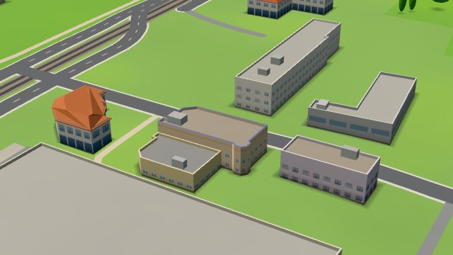 City model
 from OpenStreetMap and ČÚZK data, ODbL -
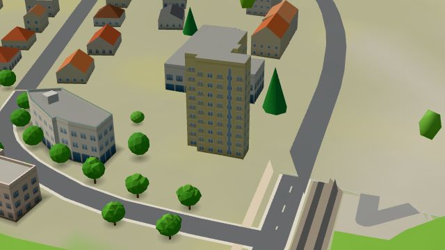 City model
 from OpenStreetMap and ČÚZK data, ODbL -
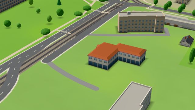 City model
 from OpenStreetMap and ČÚZK data, ODbL -
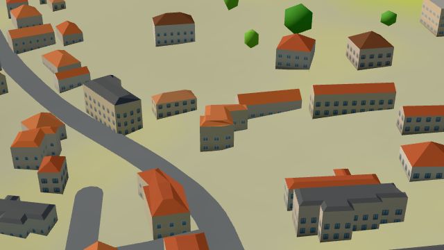 City model
 from OpenStreetMap and ČÚZK data, ODbL -
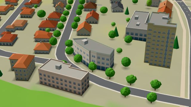 City model
 from OpenStreetMap and ČÚZK data, ODbL -
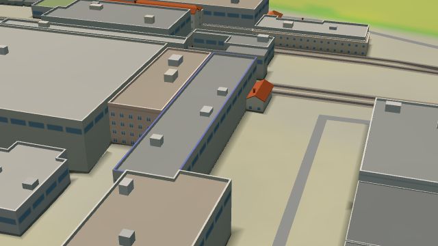 City model
 from OpenStreetMap and ČÚZK data, ODbL -
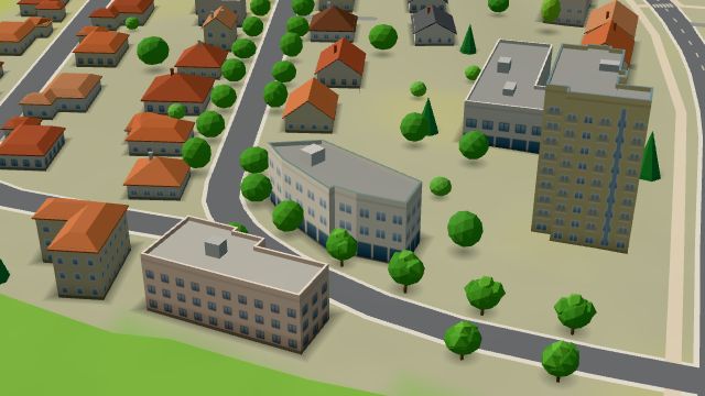 City model
 from OpenStreetMap and ČÚZK data, ODbL -
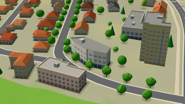 City model
 from OpenStreetMap and ČÚZK data, ODbL -
 City model
 from OpenStreetMap and ČÚZK data, ODbL -
 City model
 from OpenStreetMap and ČÚZK data, ODbL -
 City model
 from OpenStreetMap and ČÚZK data, ODbL -
 City model
 from OpenStreetMap and ČÚZK data, ODbL -
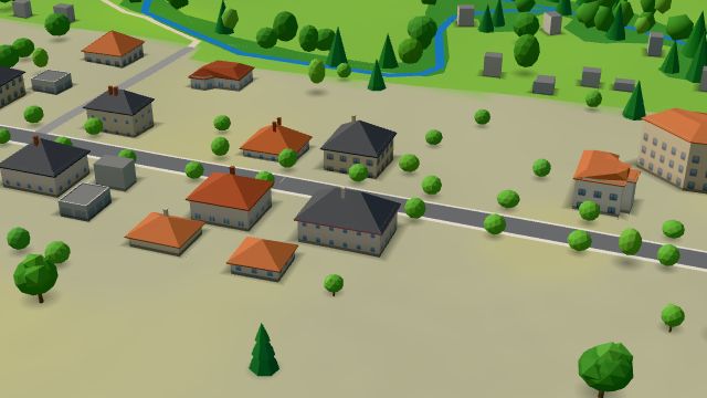 City model
 from OpenStreetMap and ČÚZK data, ODbL -
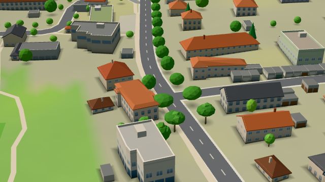 City model
 from OpenStreetMap and ČÚZK data, ODbL -
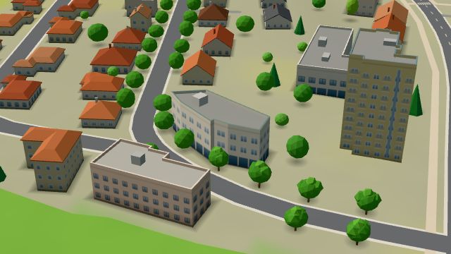 City model
 from OpenStreetMap and ČÚZK data, ODbL -
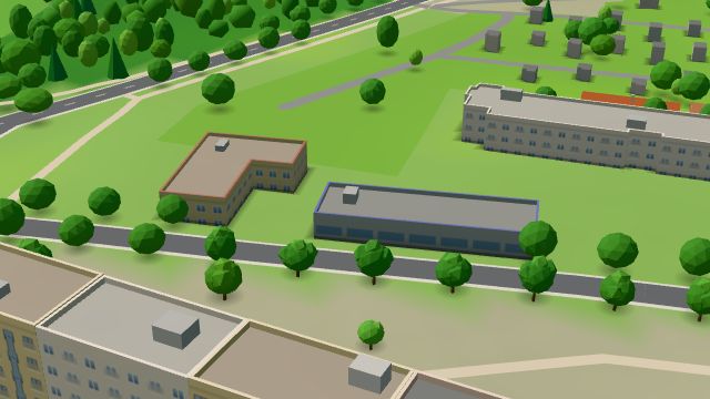 City model
 from OpenStreetMap and ČÚZK data, ODbL
What is here
- Health 15
- Shops 8
- Restaurants 3
- Bars and pubs 2
- Services 2
- Sport 2
- Wellness 2
- Cafés 1
- Schools 1
- Accommodation 1
- Doctors 7
- Dentists 3
- Groceries and supermarkets 2
- Beauty and nails 2
- Physiotherapy 2
- Furniture and home 2
- Clothes and fashion 1
- Nursery schools 1
- Electronics and phones 1
- Fast food 1
- Czech food 1
- Hardware and DIY 1
- Cakes and ice cream 1
- Psychologists and therapists 1
- Bikes 1
- Driving schools 1
- Breweries 1
- Post offices 1
- Speech therapists 1