


Michálkovice
Businesses and places in Michálkovice, Ostrava: 43 places.
Michálkovice lies in the Silesian part of Ostrava and was shaped by coal: the first shafts were sunk in 1843, and the Michal mine, the most important of them, is now a national cultural monument. Miners' colonies remain from those years, such as the Petrská kolonie by the Petr a Pavel mine and the Ferdinandova kolonie on the site of the Ferdinand shaft. A market town from 1907 and part of Ostrava since 1941, it has the church of the Assumption and a Hussite church from 1927, and trolleybuses have run here since 1953.
Results
-
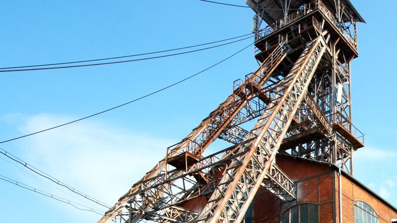
Photo: Ostrava, Public domain -
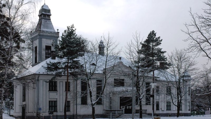
Photo: Petr Štefek , CC BY-SA 3.0 cz -
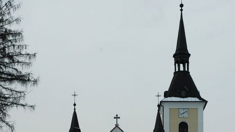
Photo: Petr Štefek , CC BY-SA 3.0 cz -
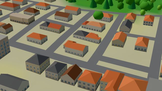 City model
 from OpenStreetMap and ČÚZK data, ODbL 49
Closed · opens at 11:00
-
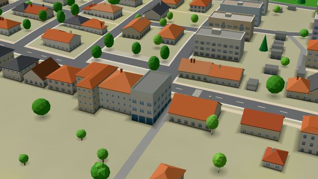 City model
 from OpenStreetMap and ČÚZK data, ODbL -
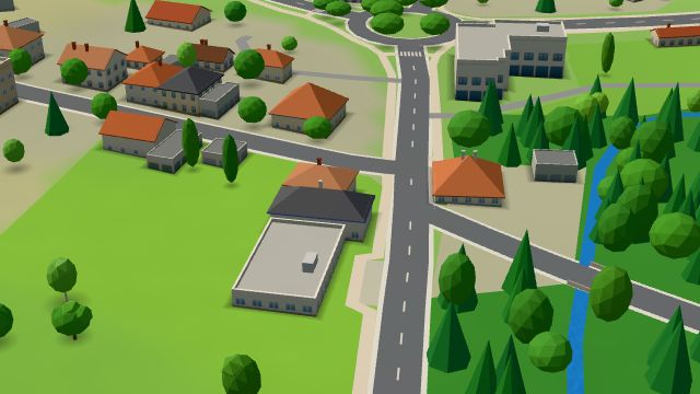 City model
 from OpenStreetMap and ČÚZK data, ODbL Zahradnictví Havlina
Closed · opens at 8:00
-
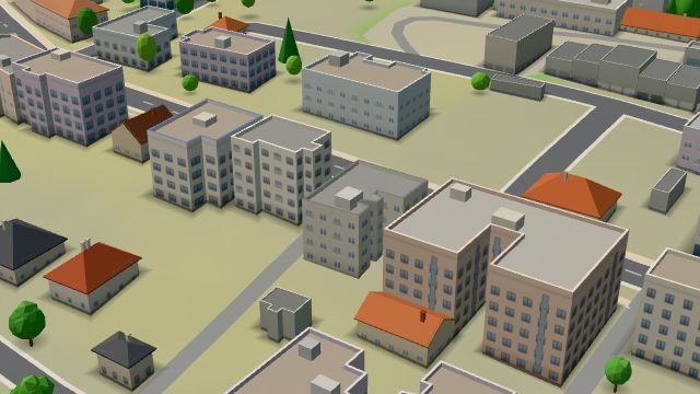 City model
 from OpenStreetMap and ČÚZK data, ODbL Pošta Ostrava 15
Closed · opens at 9:00
-
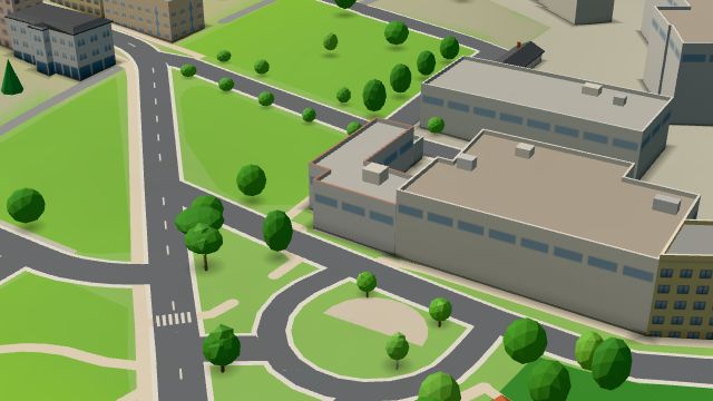 City model
 from OpenStreetMap and ČÚZK data, ODbL U Cingra
Closed · opens at 11:00
-
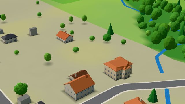 City model
 from OpenStreetMap and ČÚZK data, ODbL -
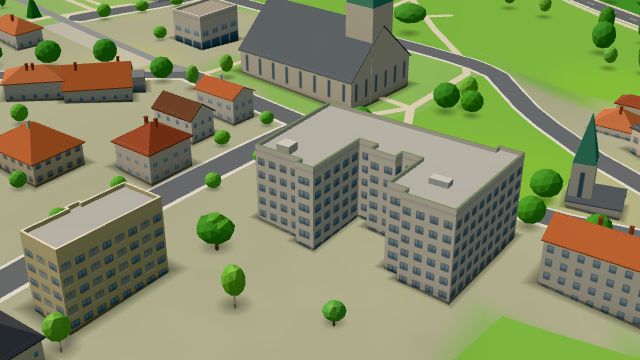 City model
 from OpenStreetMap and ČÚZK data, ODbL -
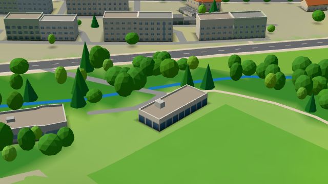 City model
 from OpenStreetMap and ČÚZK data, ODbL -
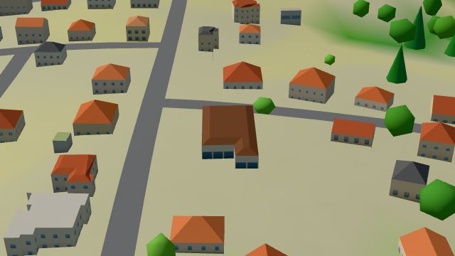 City model
 from OpenStreetMap and ČÚZK data, ODbL Hruška
Open · closes at 18:00
-
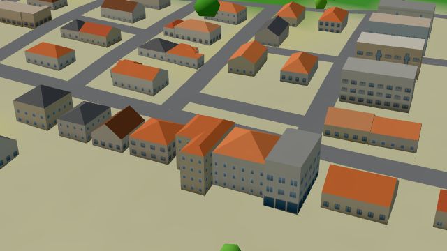 City model
 from OpenStreetMap and ČÚZK data, ODbL -
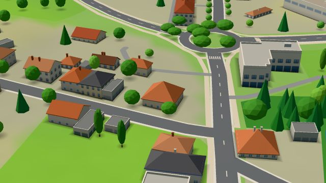 City model
 from OpenStreetMap and ČÚZK data, ODbL -
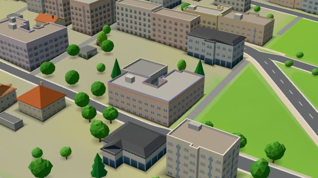 City model
 from OpenStreetMap and ČÚZK data, ODbL -
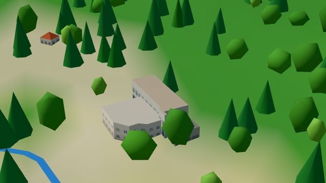 City model
 from OpenStreetMap and ČÚZK data, ODbL -
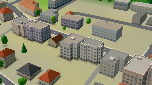 City model
 from OpenStreetMap and ČÚZK data, ODbL Potraviny René Gajdošík
Open · closes at 18:00
-
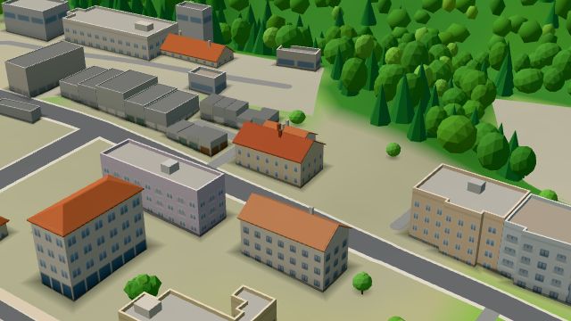 City model
 from OpenStreetMap and ČÚZK data, ODbL -
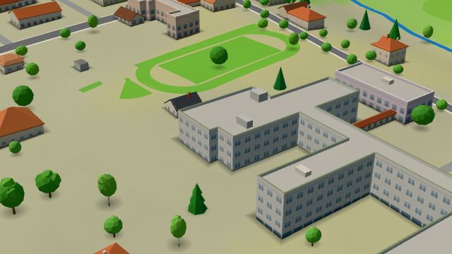 City model
 from OpenStreetMap and ČÚZK data, ODbL -
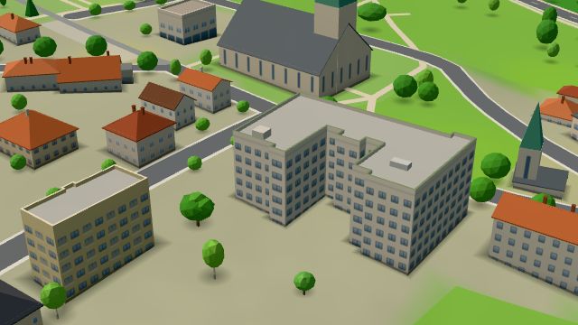 City model
 from OpenStreetMap and ČÚZK data, ODbL -
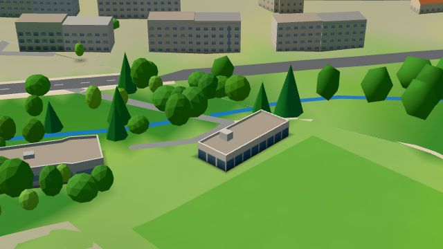 City model
 from OpenStreetMap and ČÚZK data, ODbL -
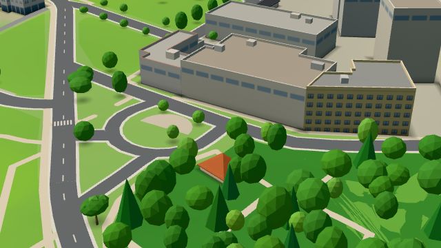 City model
 from OpenStreetMap and ČÚZK data, ODbL -
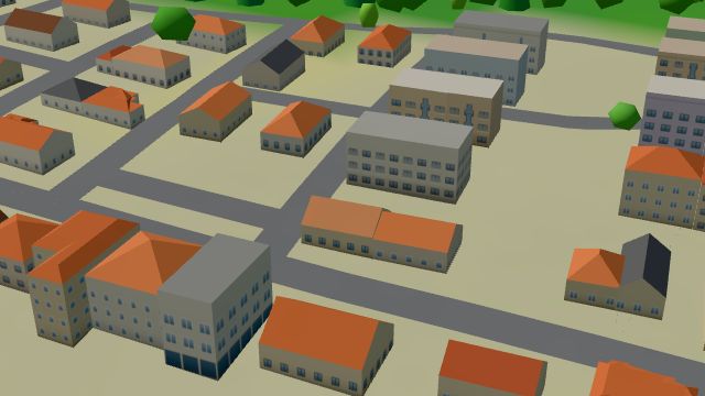 City model
 from OpenStreetMap and ČÚZK data, ODbL -
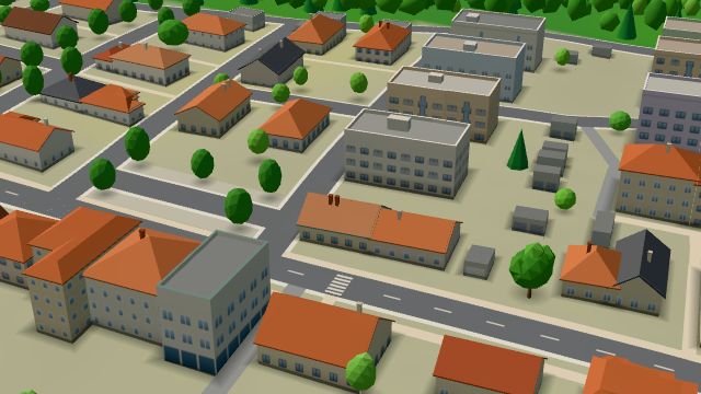 City model
 from OpenStreetMap and ČÚZK data, ODbL
What is here
- Shops 9
- Bars and pubs 7
- Health 5
- Restaurants 4
- Landmarks 4
- Culture 3
- Schools 3
- Services 3
- Accommodation 2
- Sport 2
- Cafés 1
- Groceries and supermarkets 3
- Churches 3
- Doctors 2
- Dentists 2
- Hardware and DIY 2
- Italian food 2
- Vets 2
- Nursery schools 1
- Primary schools 1
- Secondary schools 1
- Pharmacies 1
- Flowers 1
- Museums and galleries 1
- Czech food 1
- Cakes and ice cream 1
- Books and stationery 1
- Pets 1
- Nightlife 1
- Post offices 1
- Libraries 1