


Polanka nad Odrou
Businesses and places in Polanka nad Odrou, Ostrava: 47 places.
Polanka nad Odrou lies in the south-west of Ostrava on the left bank of the Oder, with the floodplain forests of the Polanská niva national nature reserve, partly in the Poodří protected landscape area. The main street, 1. května, is named after the day of liberation in 1945 and once formed part of the boundary between Horní and Dolní Polanka. It has a baroque chateau, once a fortified manor, the church of St Anne consecrated in 1900, a park named after the composer Václav Nelhýbel, born here, and an old conciliation cross.
Results
-
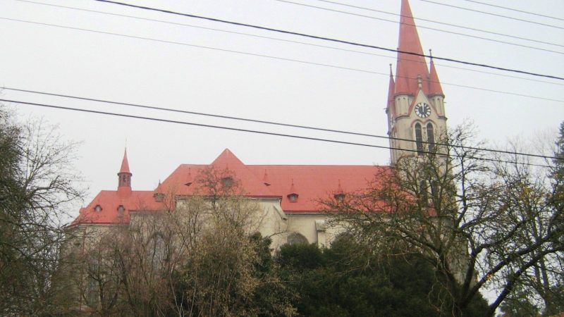
Photo: Ladin, CC BY-SA 3.0 -
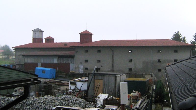
Photo: Ladin, CC BY 3.0 -
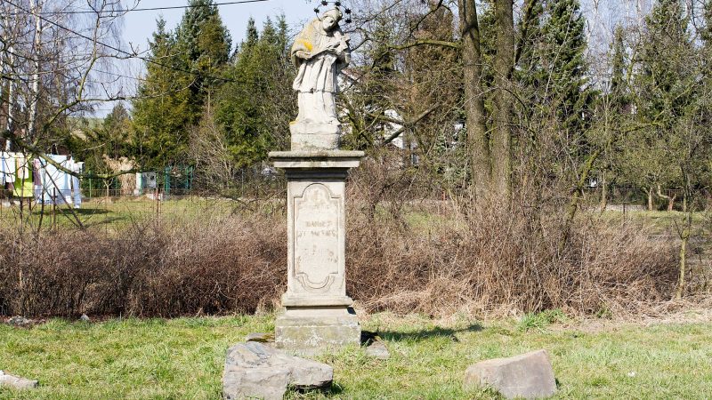
Photo: Ondřej Kořínek, CC BY-SA 4.0 -
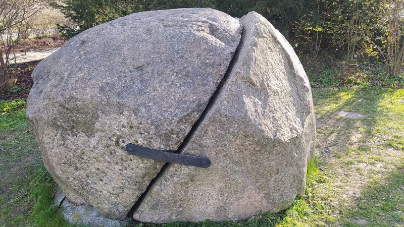
Photo: Fry72, CC BY-SA 3.0 -
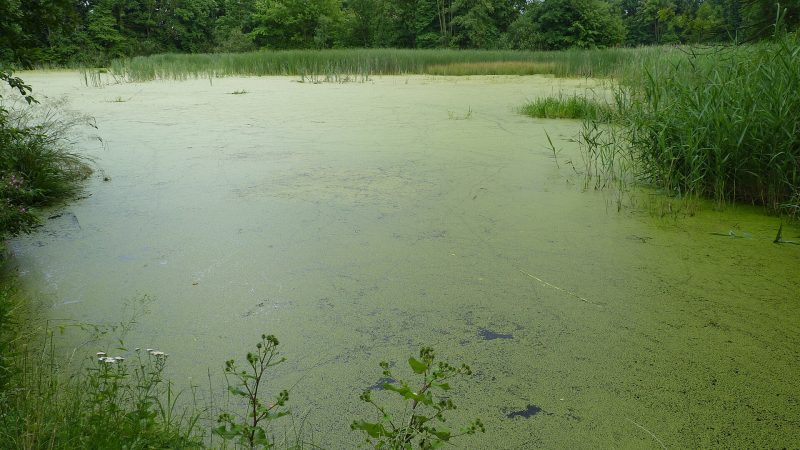
Photo: Michal Klajban, CC BY-SA 3.0 -
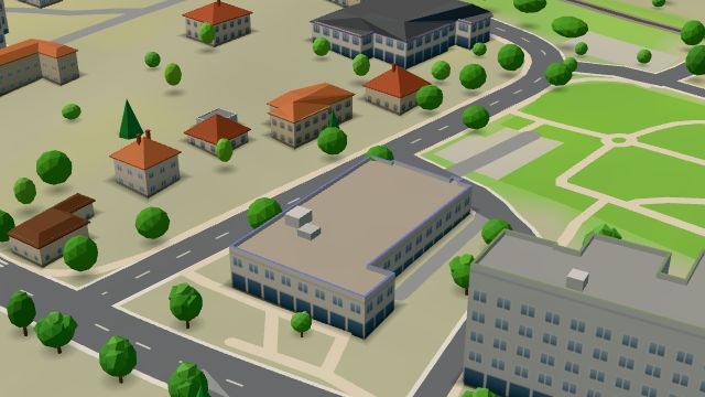 City model
 from OpenStreetMap and ČÚZK data, ODbL Pošta Ostrava 25
Closed · opens at 9:00
-
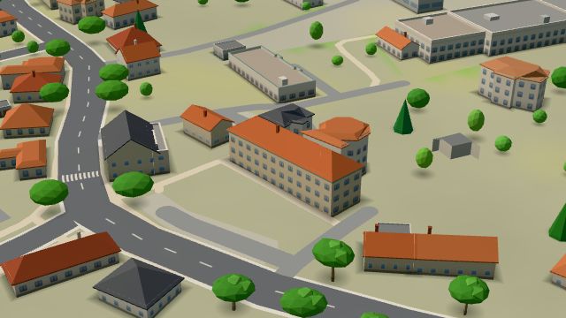 City model
 from OpenStreetMap and ČÚZK data, ODbL Polanka
Open · closes at 15:00
-
 City model
 from OpenStreetMap and ČÚZK data, ODbL -
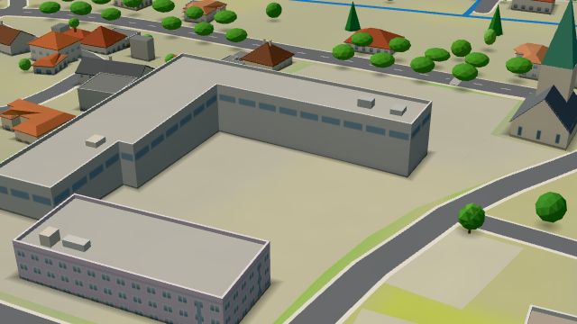 City model
 from OpenStreetMap and ČÚZK data, ODbL -
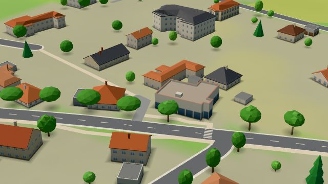 City model
 from OpenStreetMap and ČÚZK data, ODbL Hospoda na Janové
Closed · opens at 10:00
-
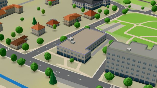 City model
 from OpenStreetMap and ČÚZK data, ODbL Hruška
Open · closes at 20:00
-
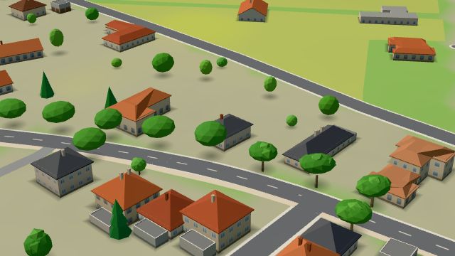 City model
 from OpenStreetMap and ČÚZK data, ODbL -
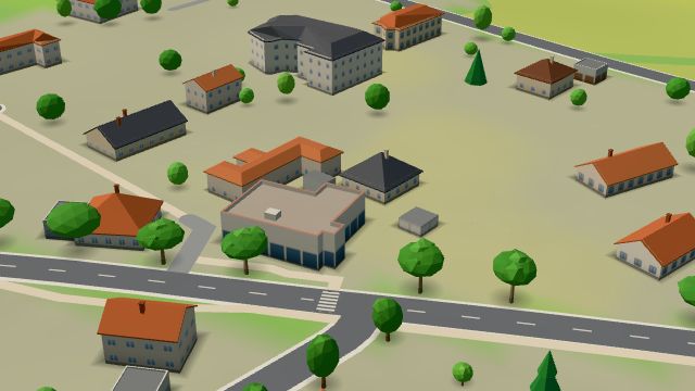 City model
 from OpenStreetMap and ČÚZK data, ODbL Potraviny
Open · closes at 18:00
-
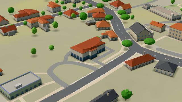 City model
 from OpenStreetMap and ČÚZK data, ODbL -
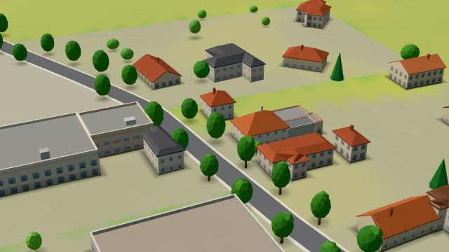 City model
 from OpenStreetMap and ČÚZK data, ODbL -
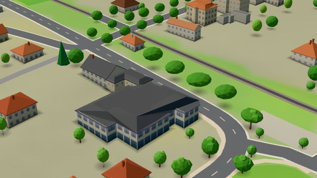 City model
 from OpenStreetMap and ČÚZK data, ODbL U Friedlů
Closed · opens tomorrow at 9:00
-
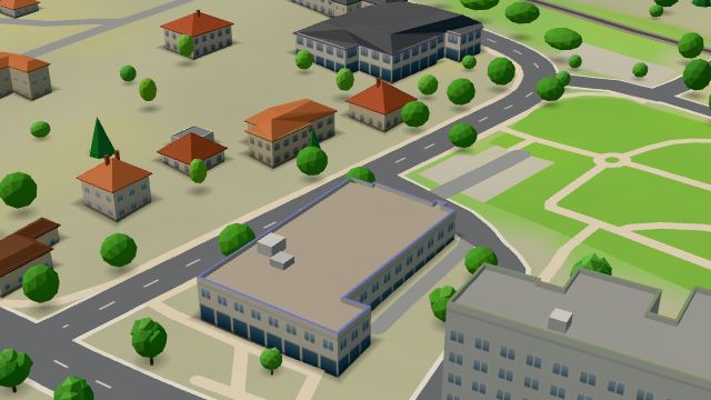 City model
 from OpenStreetMap and ČÚZK data, ODbL -
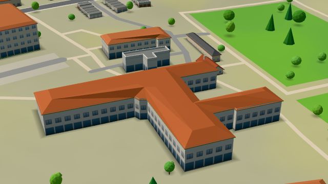 City model
 from OpenStreetMap and ČÚZK data, ODbL -
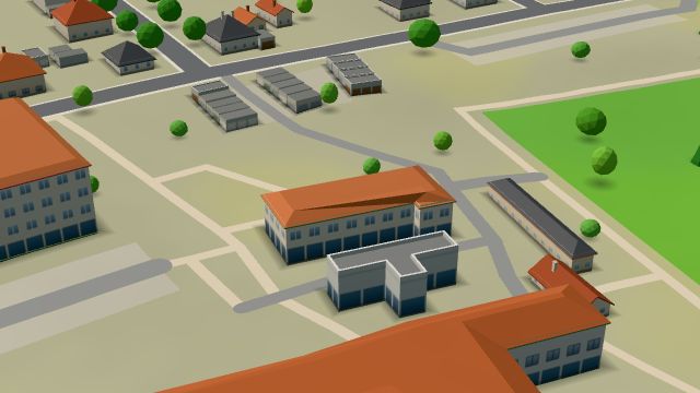 City model
 from OpenStreetMap and ČÚZK data, ODbL -
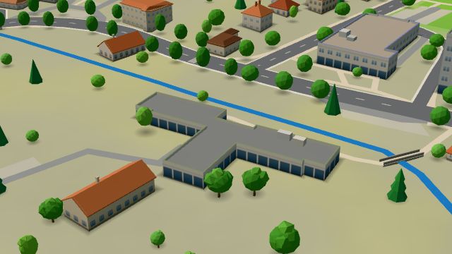 City model
 from OpenStreetMap and ČÚZK data, ODbL -
 City model
 from OpenStreetMap and ČÚZK data, ODbL -
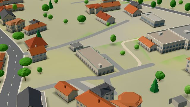 City model
 from OpenStreetMap and ČÚZK data, ODbL -
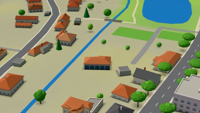 City model
 from OpenStreetMap and ČÚZK data, ODbL -
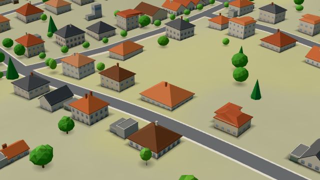 City model
 from OpenStreetMap and ČÚZK data, ODbL
What is here
- Landmarks 9
- Bars and pubs 7
- Health 7
- Shops 5
- Restaurants 4
- Schools 4
- Services 4
- Parks and nature 3
- Culture 2
- Sport 2
- Doctors 5
- Churches 5
- Groceries and supermarkets 3
- Primary schools 2
- Nursery schools 1
- Car repair and tyres 1
- Hairdressers and barbers 1
- Physiotherapy 1
- Furniture and home 1
- Pharmacies 1
- Hospitals and clinics 1
- Car washes 1
- Post offices 1
- Wine and drinks 1
- Libraries 1
- Art and music schools 1